


- Lyhyt kuvaus
-
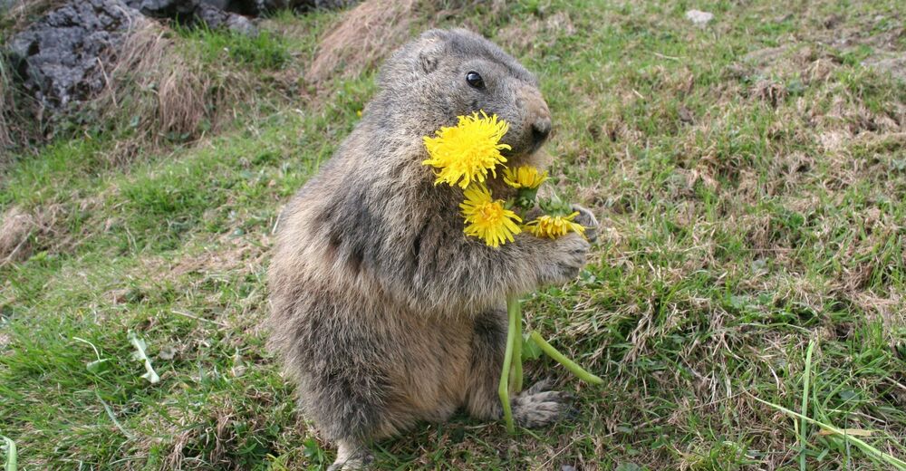
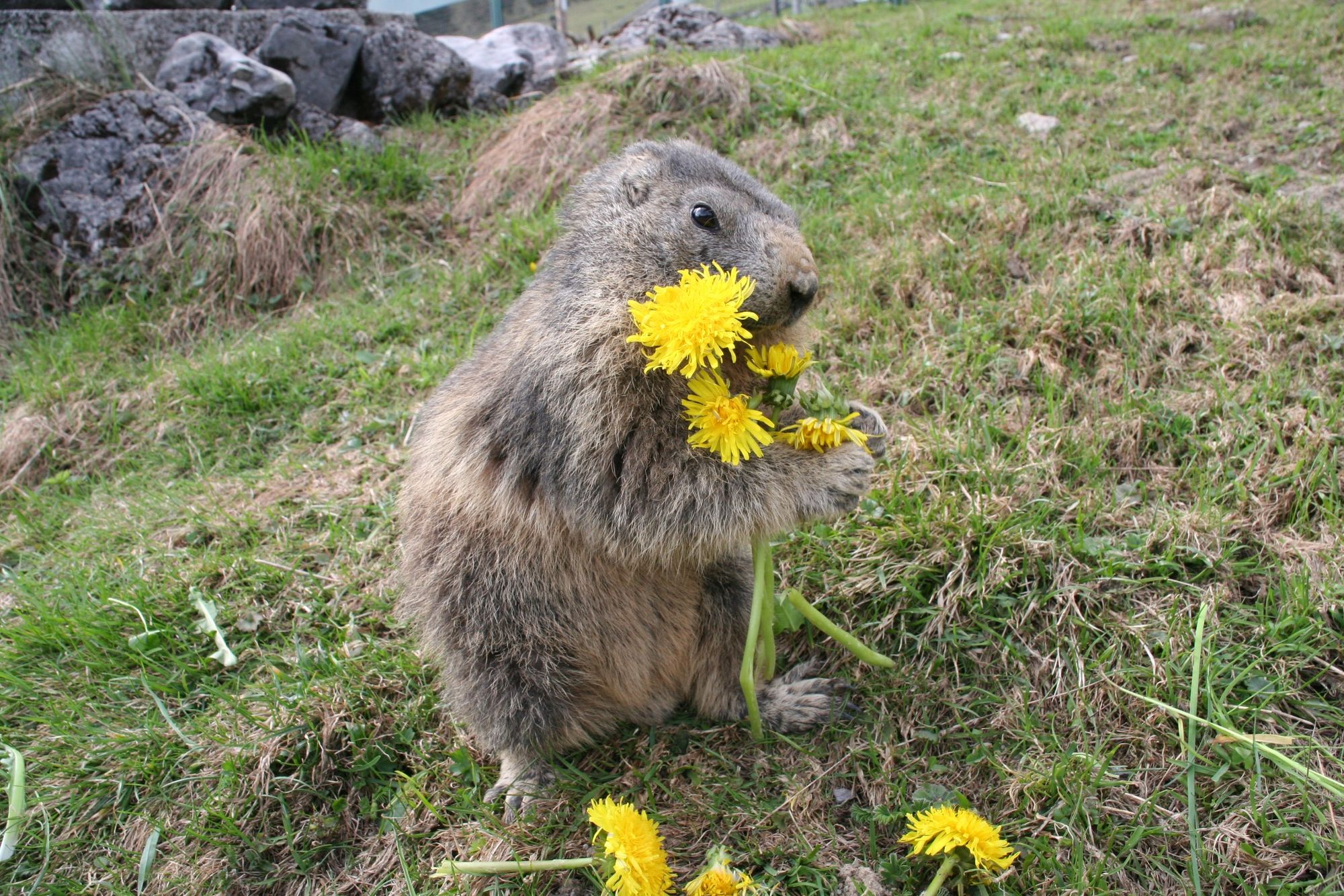
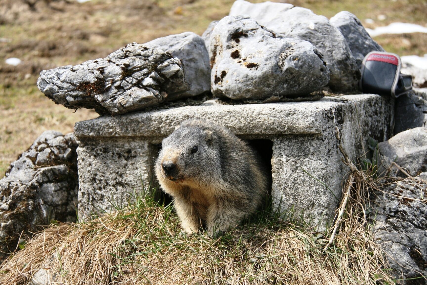
Whatch out! - it 's on our marmot path, perhaps you noticed our "Mümmler" !
- Vaikeus
-
helppo
- Arviointi
-
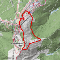
- Reitti
-
Sennerei SchweizerhütteArthurhausMitterbergsattel (1.515 m)0,4 km
- Paras kausi
-
tammihelmimaalishuhtitoukokesäheinäelosyyslokamarrasjoulu
- Korkein kohta
- 1.519 m
- Kohde
-
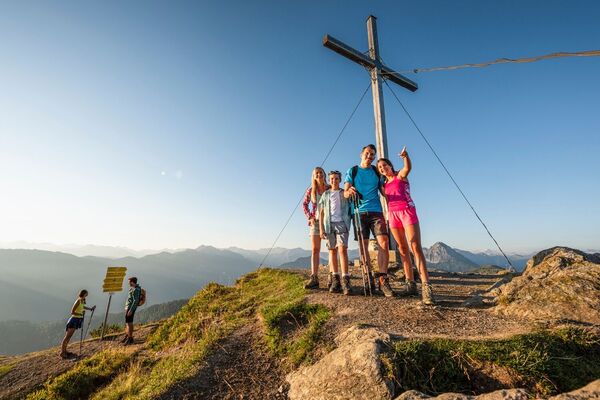
Marmot Path
- Korkeusprofiili
-


- Kirjoittaja
-
Kiertue FAMILY WALKING ROUTE The Marmot Path käyttää outdooractive.com toimitettu.
GPS Downloads


Yleistä tietoa
Virvokepysäkki
Lupaava
Lisää retkiä alueilla