Retkitiedot
12,92km
686
- 869m
314hm
04:00h
- Lyhyt kuvaus
-
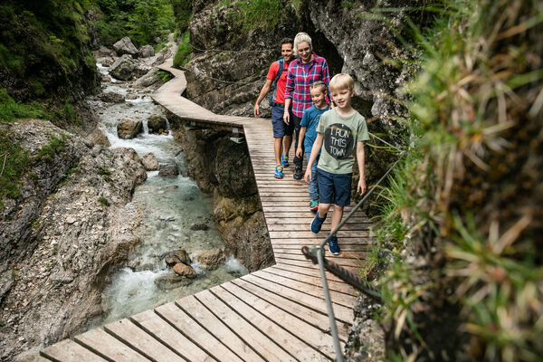
Das Bichlach, zwischen Reither Ache und Kitzbüheler Ache, dem Schwarzsee und St. Johann gelegen, stellt eine landschaftliche Naturschönheit dar, die biologisch und kulturhistorisch große Bedeutung hat. Die Gletscher der letzten Eiszeit haben die reizvolle Buckellandschaft mit ihren Hügeln und Senken geschaffen.
- Arviointi
-
- Lähtöpiste
-
Oberndorf Zentrum
- Reitti
-
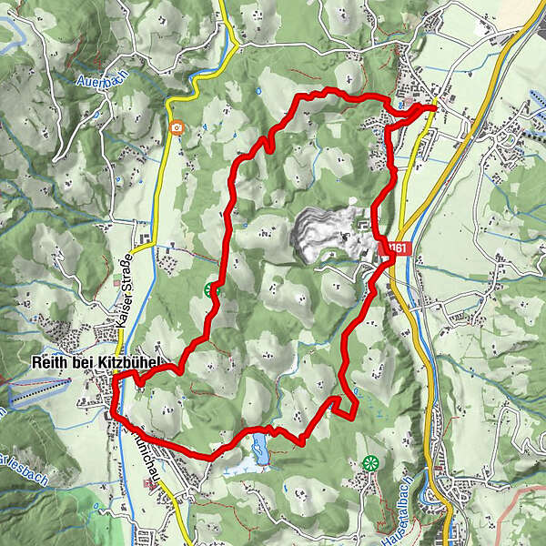
Oberndorf in Tirol0,1 kmReith bei Kitzbühel7,0 kmRettenberg (876 m)8,8 kmBichlhof11,3 kmOberndorf in Tirol12,7 km
- Korkein kohta
- 869 m
- Lepo/Retriitti
-
Gasthof Bichlhof
öffentliche Badeanstalt Gieringer Weiher - Karttamateriaali
-
In allen Infobüros: St. Johann in Tirol - Oberndorf - Kirchdorf

- Infopuhelin
-
+43 (0)5352 63335 0
- Link
- https://www.kitzbueheler-alpen.com/de/st-johann
GPS Downloads


Lisää retkiä alueilla
-
Kitzbühel
1768
-
Oberndorf in Tirol
532