Retkitiedot
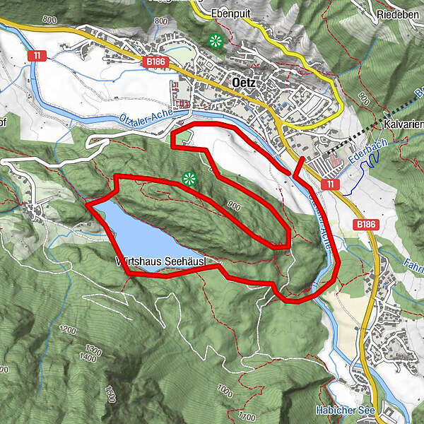
6,21km
773
- 998m
290hm
298hm
02:00h
- Lyhyt kuvaus
-
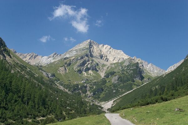
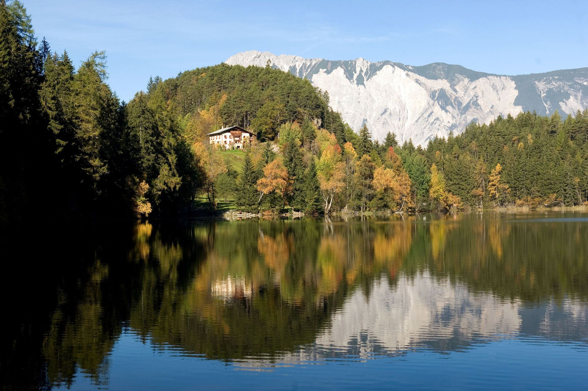
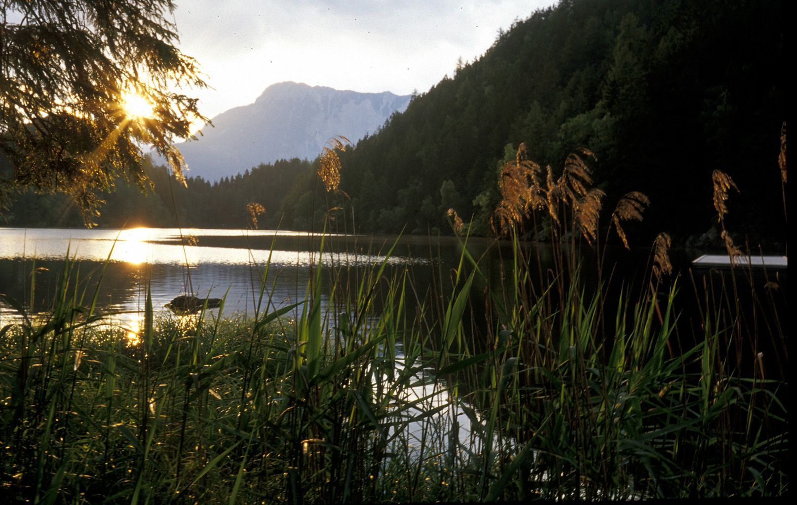
nice and easy hiking tour with beautifull views over Oetz
- Vaikeus
-
tapa
- Arviointi
-
- Lähtöpiste
-
Parking place in the center of Oetz or parking at the cable car station
- Reitti
-
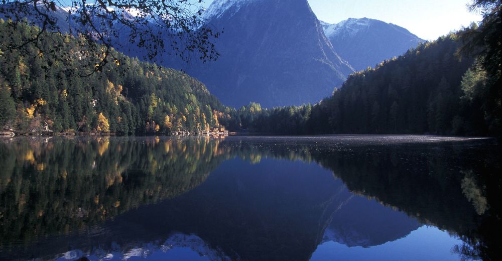
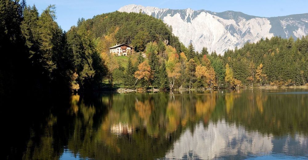
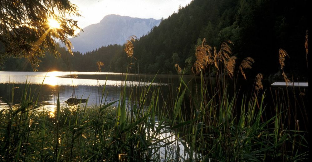
Seehäusl1,6 kmSpielplatz Haidach4,9 kmHaidachkapelle5,0 kmOetz (812 m)5,6 km
- Paras kausi
-
tammihelmimaalishuhtitoukokesäheinäelosyyslokamarrasjoulu
- Korkein kohta
- 998 m
- Lepo/Retriitti
-
Restaurants at the lake or directly in Oetz
- Karttamateriaali
-
Tourist Office Oetz


GPS Downloads


Polun olosuhteet
Asfaltti
Sora
Niitty
Metsä
Kallio
Altistettu