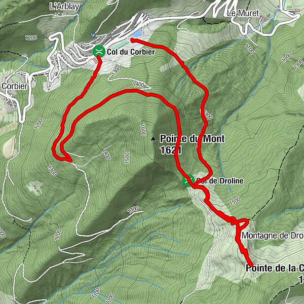
Snooc - Pointe de la Croix hike (ski touring area - Col du Corbier)


- Lyhyt kuvaus
-
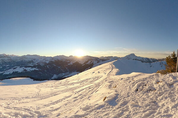
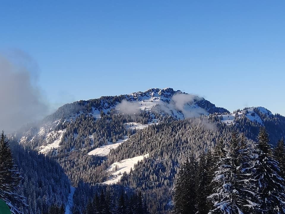
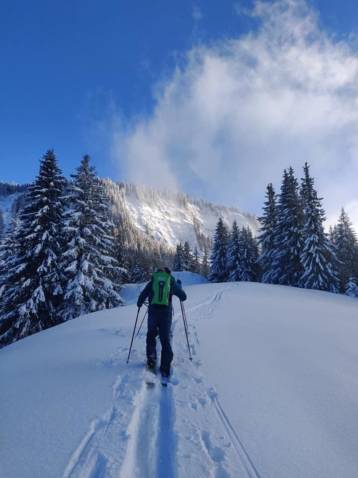
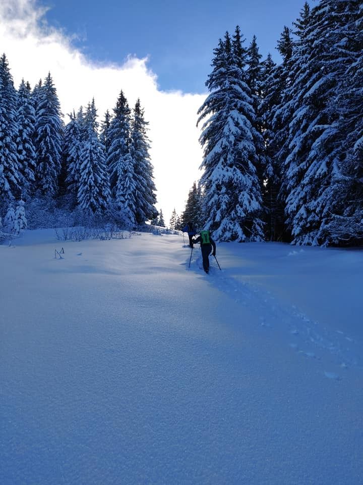
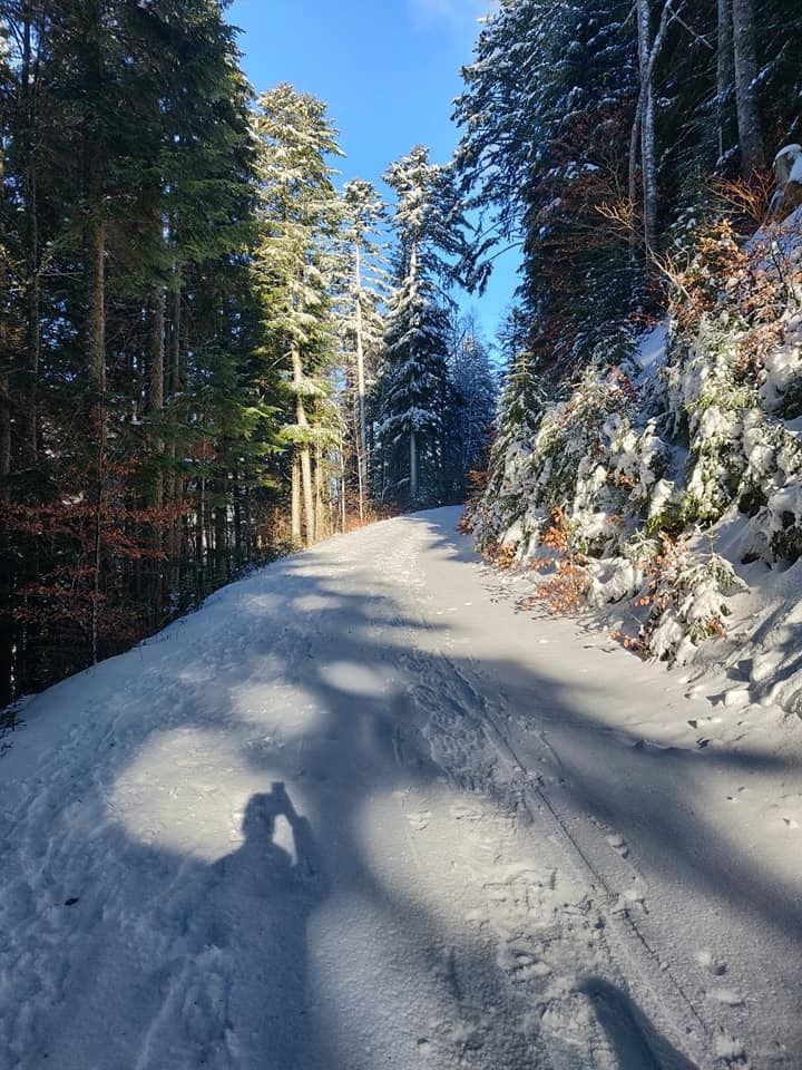
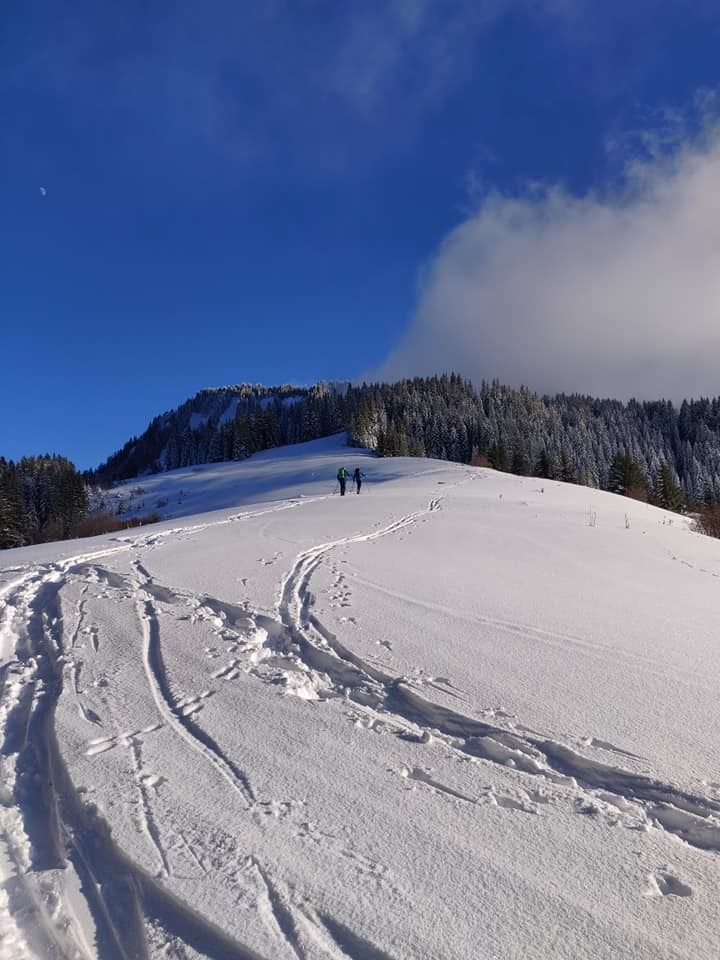
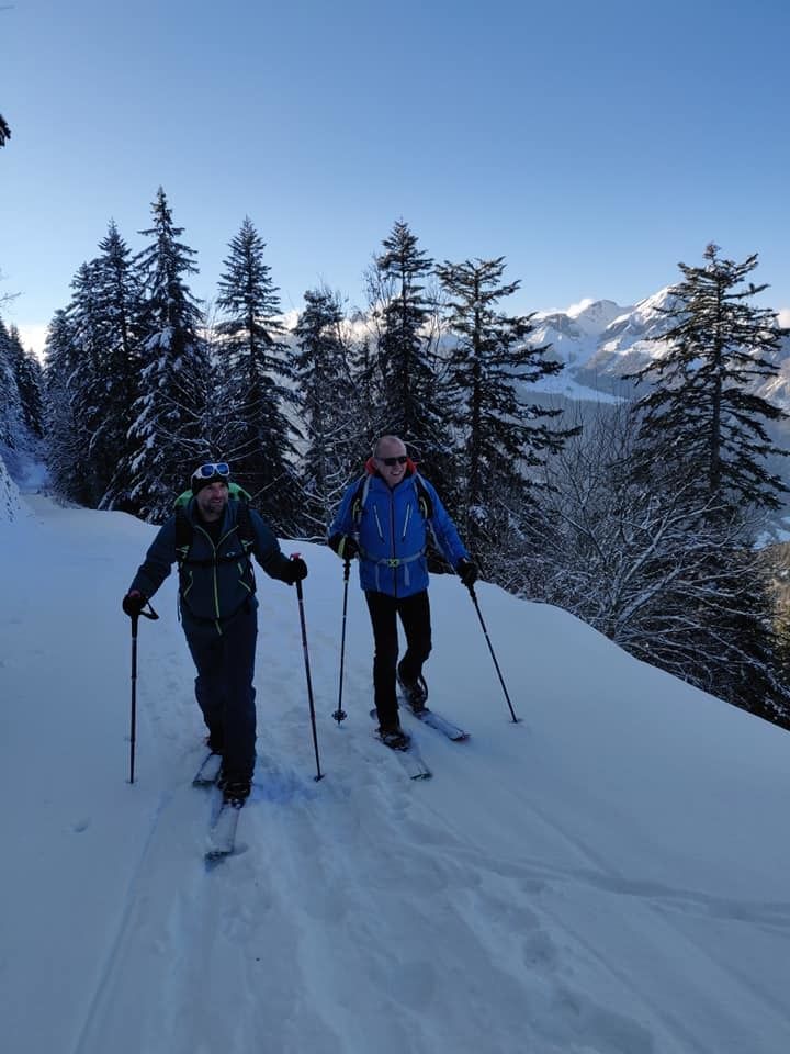
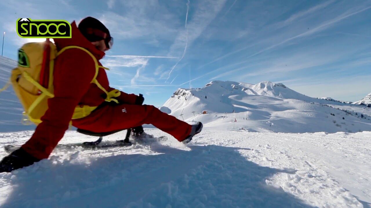
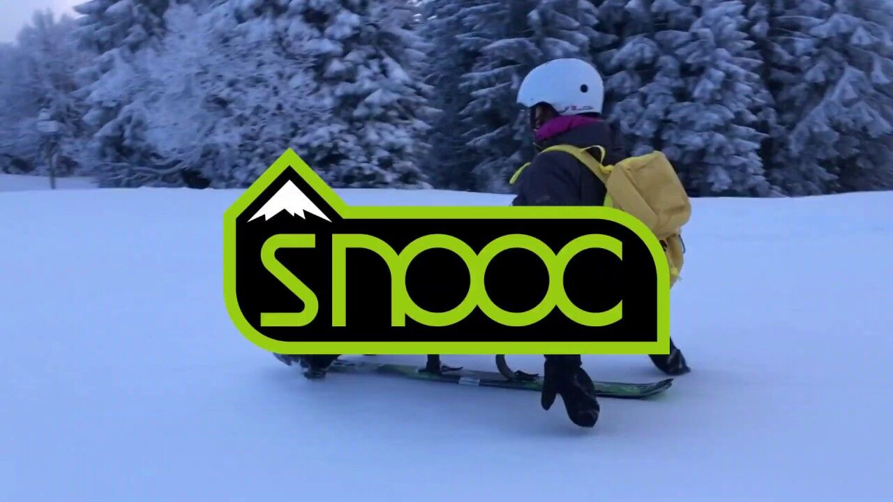
Snooc hike towards the Pointe de la Croix. Departure from the Col du Corbier - Haut-Cablais ski area. Course for sportsmen with magnificent landscapes and a view of the Mont-Blanc.
- Vaikeus
-
tapa
- Arviointi
-
- Paras kausi
-
elosyyslokamarrasjoulutammihelmimaalishuhtitoukokesäheinä
- Korkein kohta
- 1.618 m
- Kohde
-
espace ski de rando - col du corbier
- Korkeusprofiili
-
 © outdooractive.com


-
-
KirjoittajaKiertue Snooc - Pointe de la Croix hike (ski touring area - Col du Corbier) käyttää outdooractive.com toimitettu.
GPS Downloads


Yleistä tietoa
Lupaava
Lisää retkiä alueilla