© ©OT Terre Valserine

© ©OT Terre Valserine

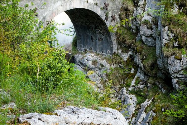
© E Bertrand

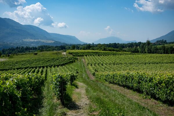
© ©OT Terre Valserine

© ©OT Terre Valserine

© ©OT Terre Valserine

© ©OT Terre Valserine

© ©OT Terre Valserine

© ©OT Terre Valserine

- Lyhyt kuvaus
-
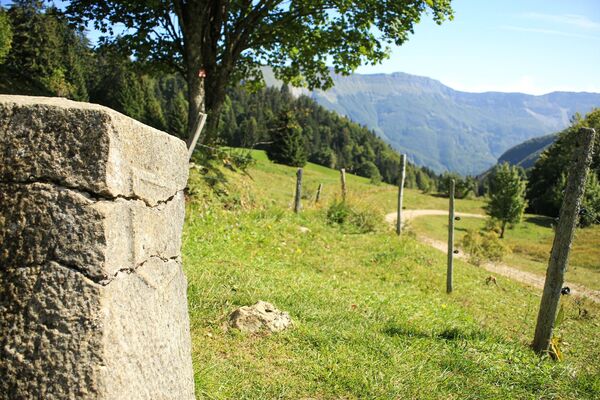
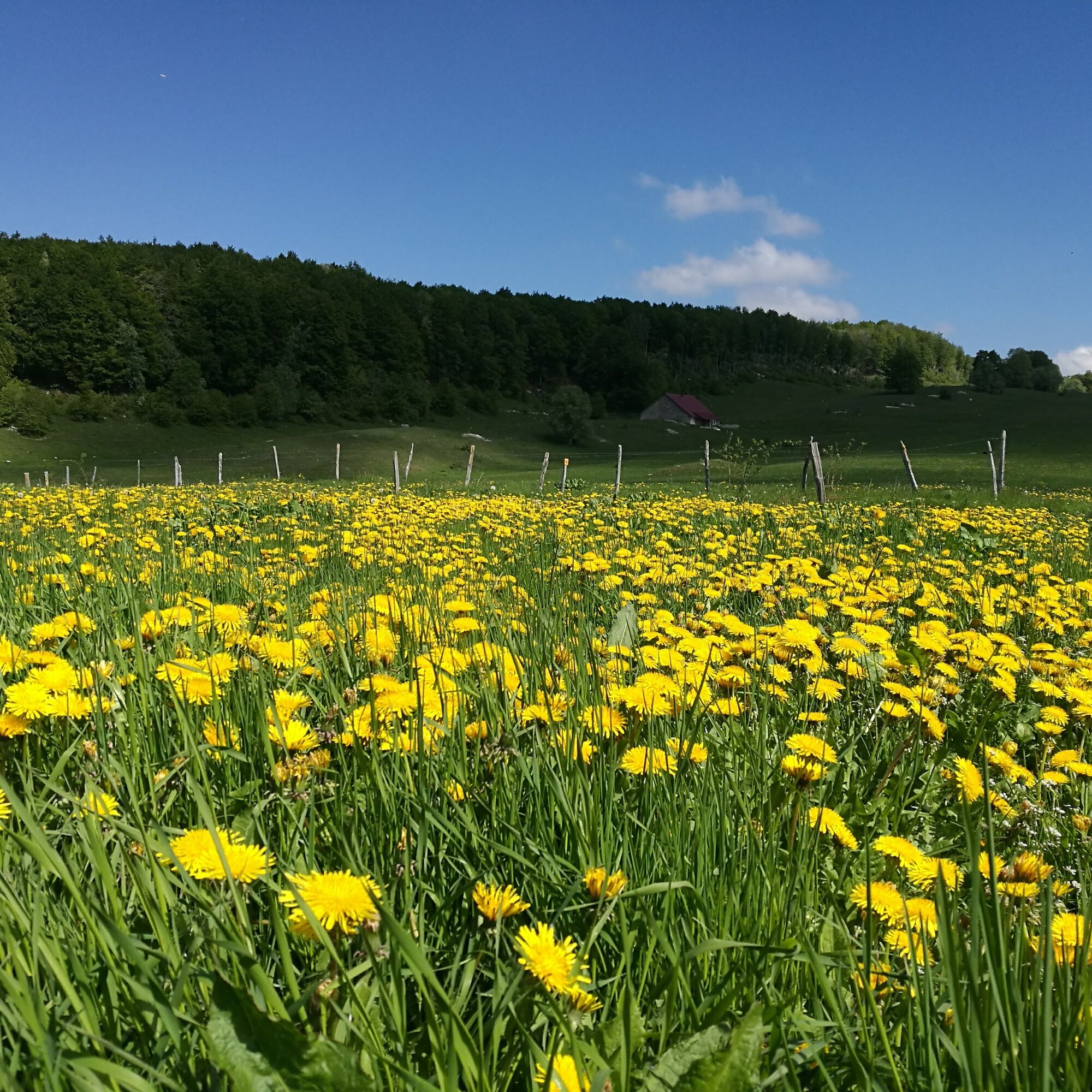
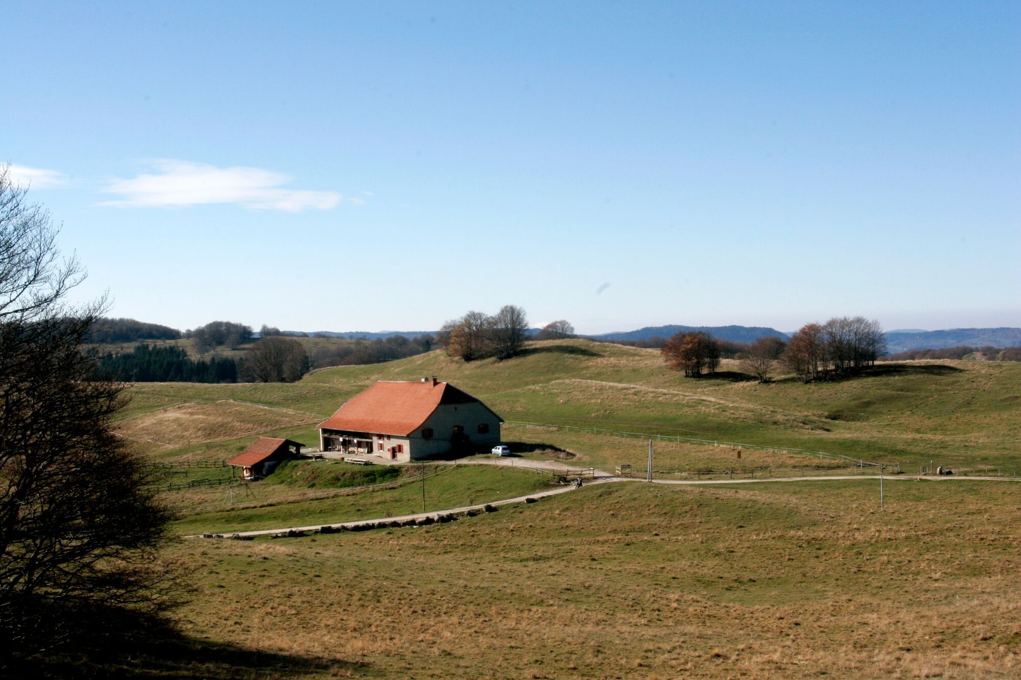
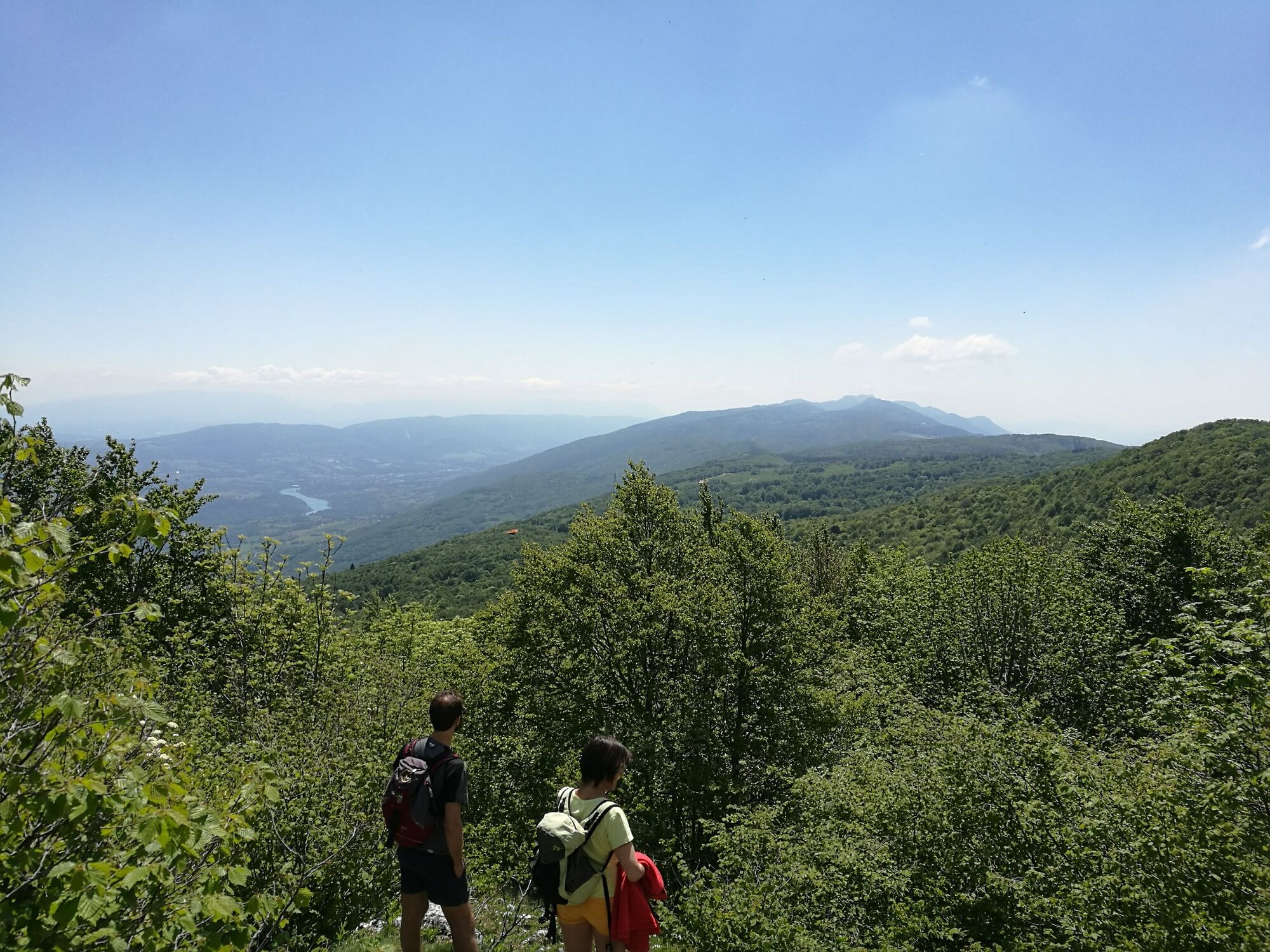
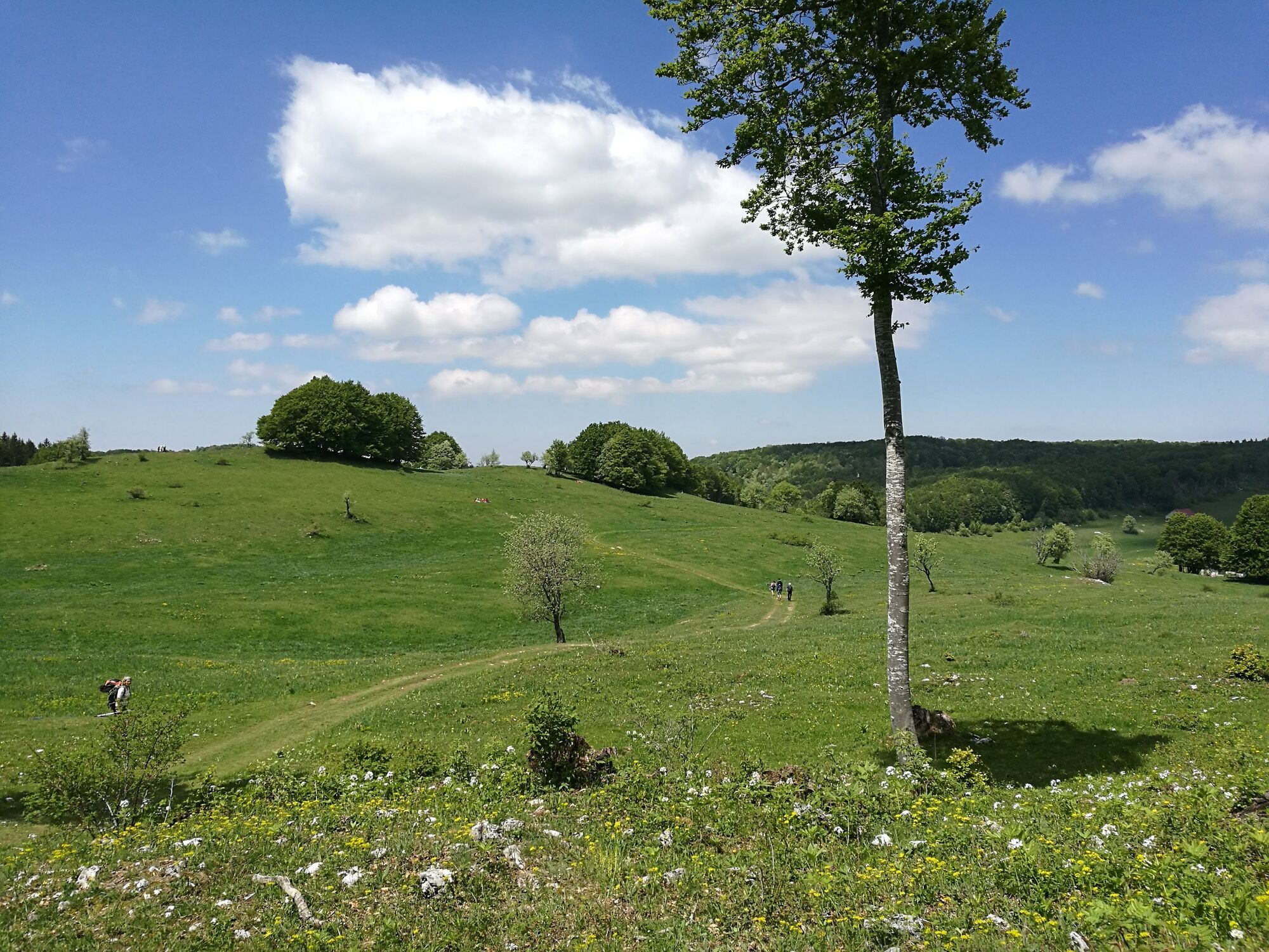
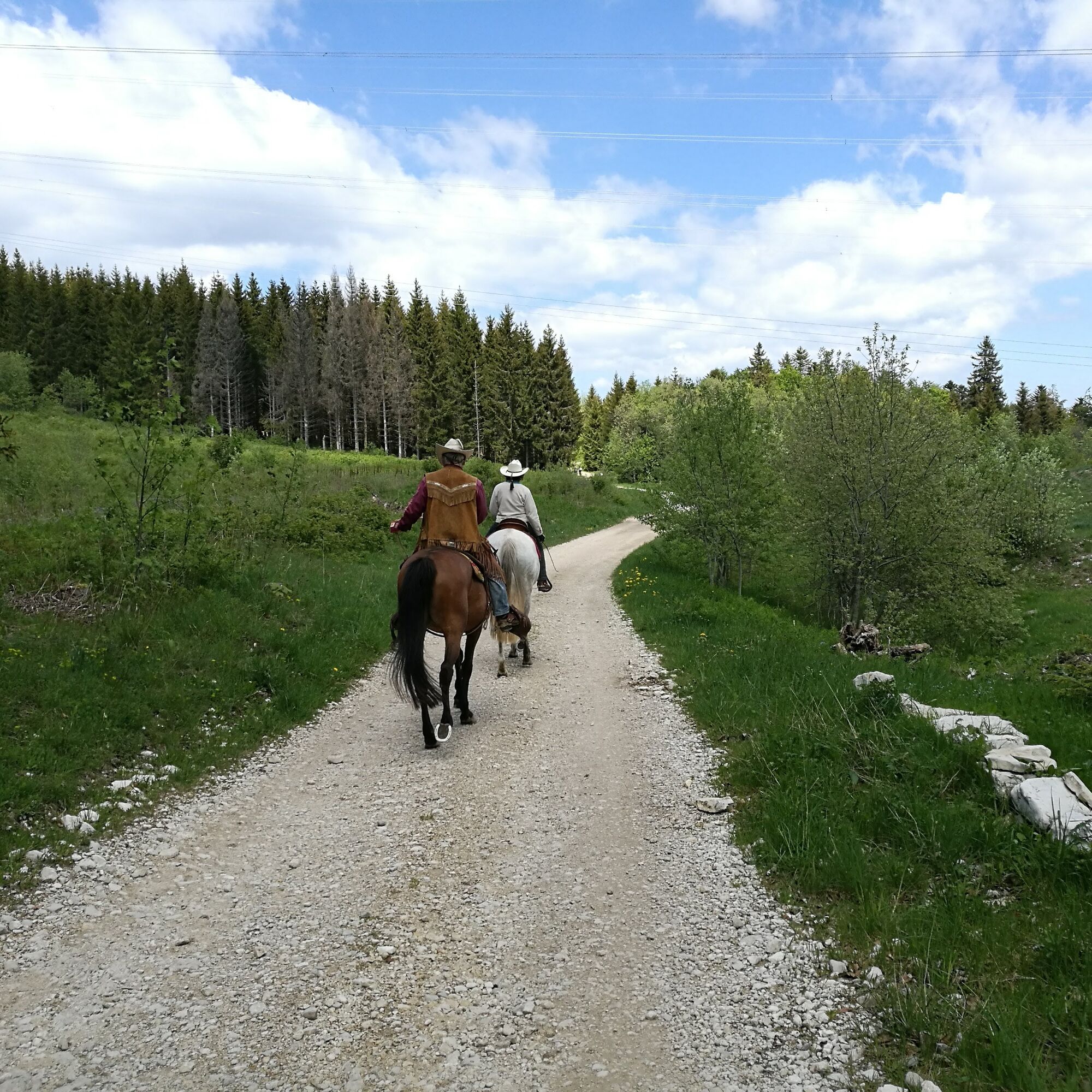
Walk in the big plains of the Plateau du Retord and enjoy your time peacefully. There are some typical farms, proof that people used to live in this protected environment.
- Vaikeus
-
helppo
- Arviointi
-
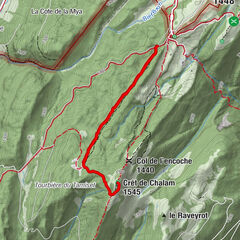
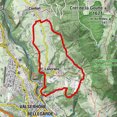
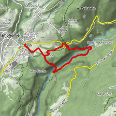
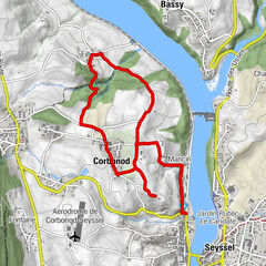
- Reitti
-
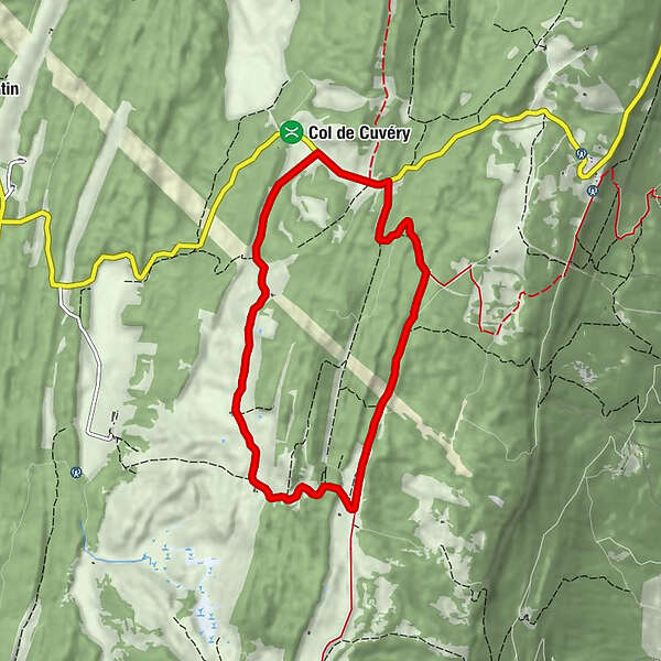
Le Raimont0,0 kmPra Devant2,4 kmPré Neyret5,6 kmSous la Lade6,2 kmAuberge de Cuvéry7,1 kmCuvéry7,1 kmLe Raimont7,6 km
- Paras kausi
-
tammihelmimaalishuhtitoukokesäheinäelosyyslokamarrasjoulu
- Korkein kohta
- 1.278 m
- Kohde
-
parking de la Raymond à Cuvéry
- Korkeusprofiili
-
 © outdooractive.com

-

-
KirjoittajaKiertue L'alpage du Retord käyttää outdooractive.com toimitettu.
GPS Downloads


Yleistä tietoa
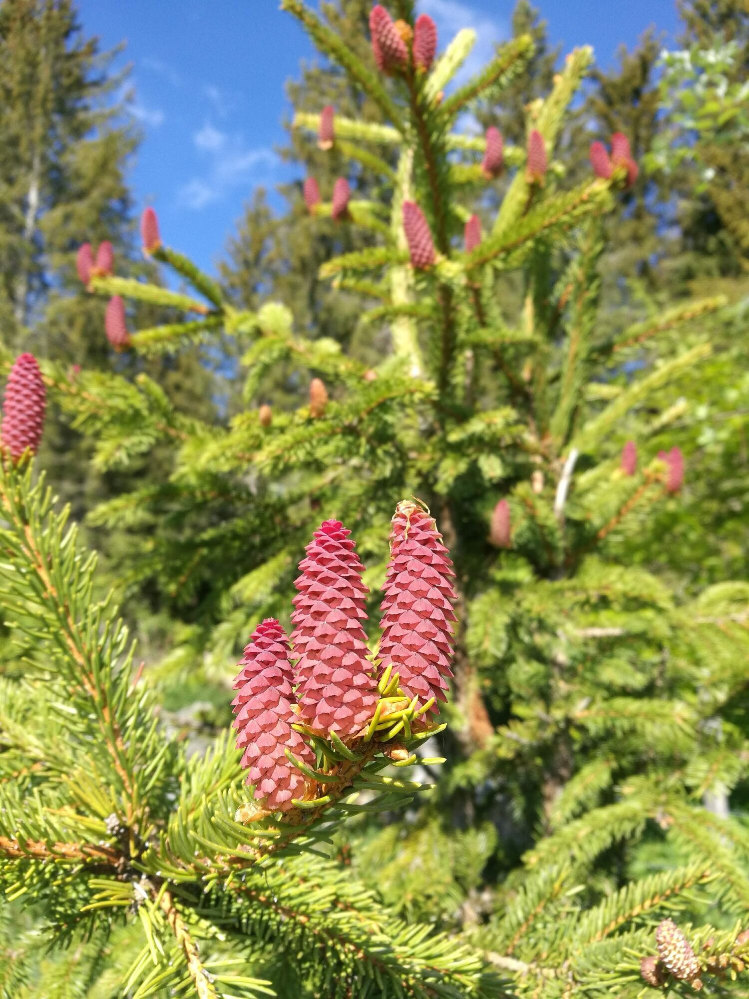
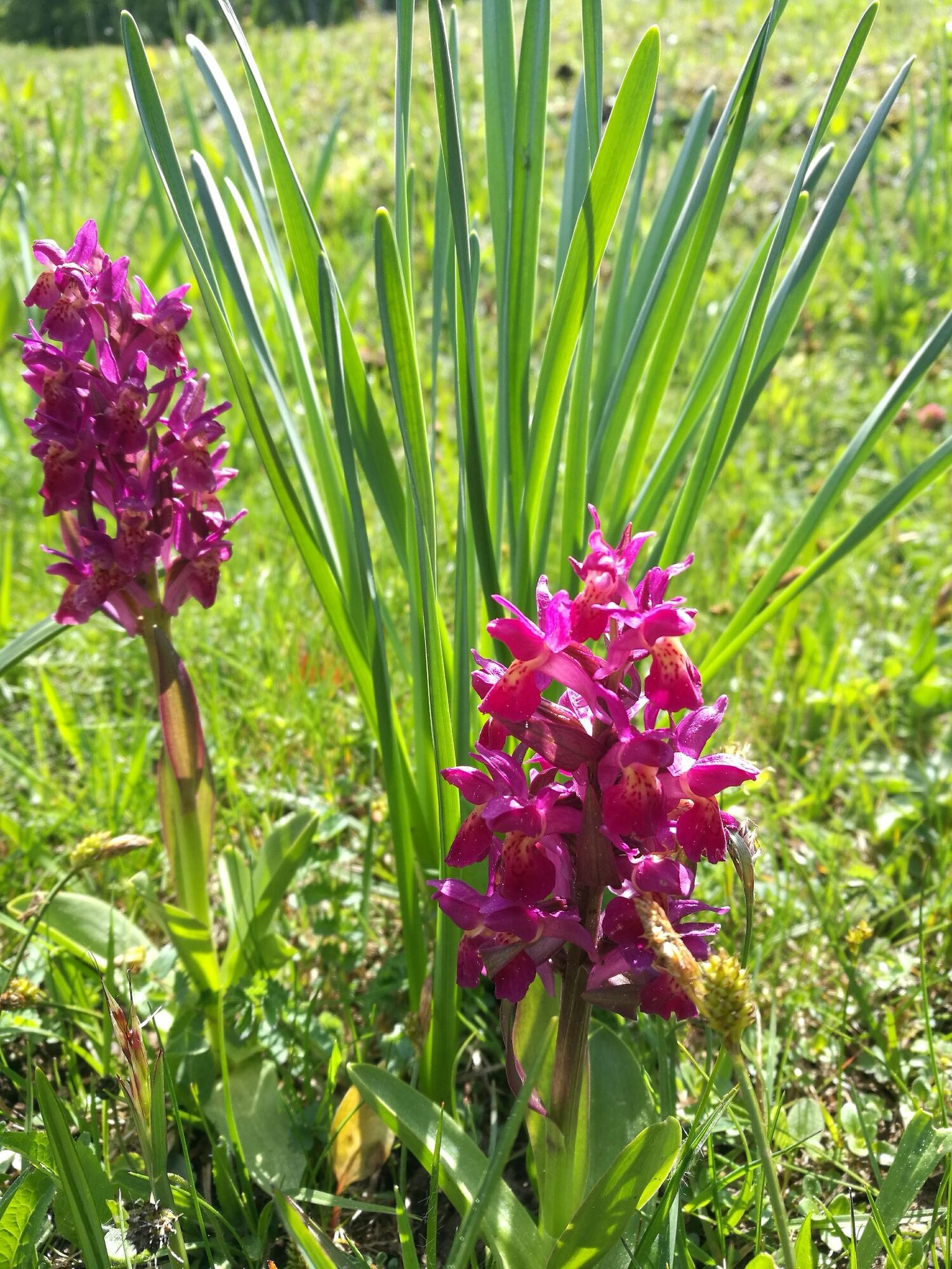
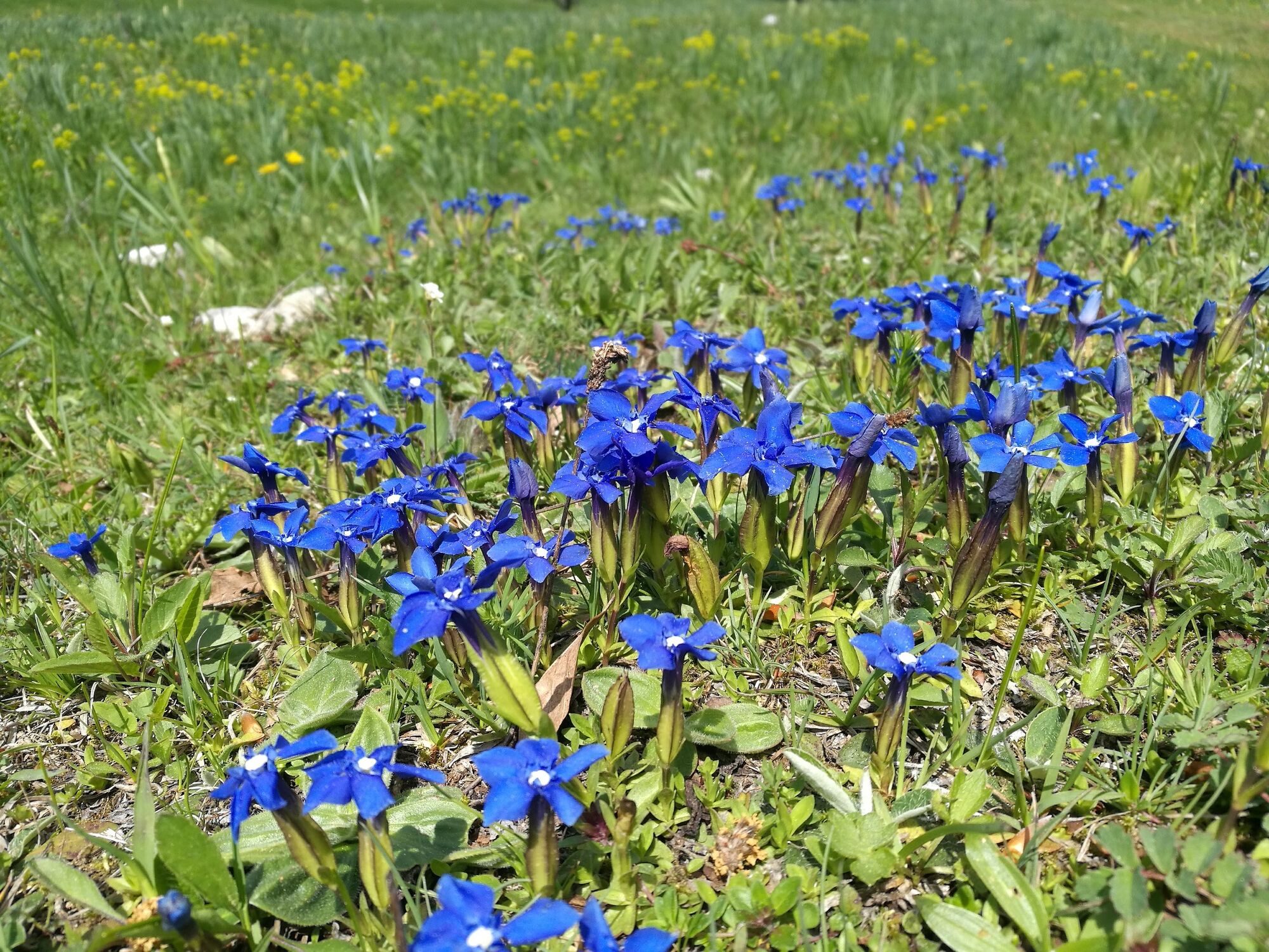
Flora
Fauna
Lupaava
Lisää retkiä alueilla
-
Ain
437
-
Haut Bugey
270
-
Haut Valromey
73