
- Lyhyt kuvaus
-
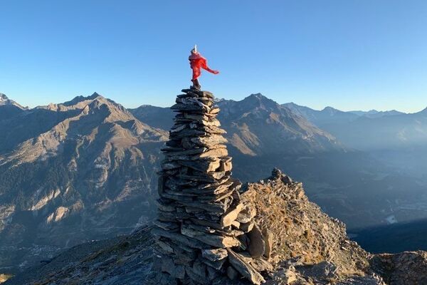
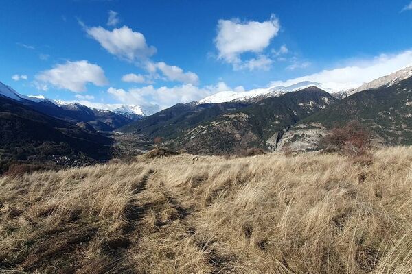
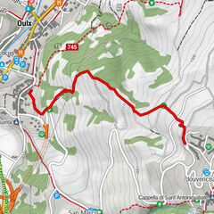
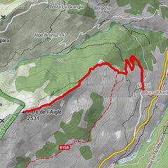
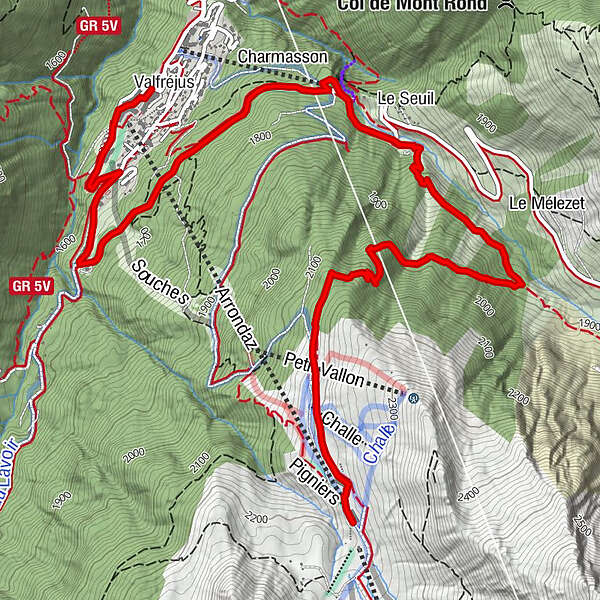
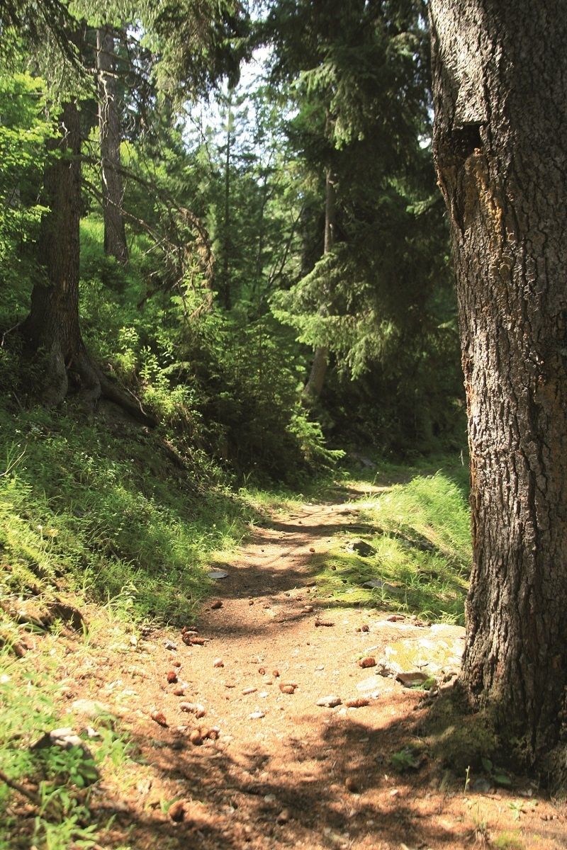
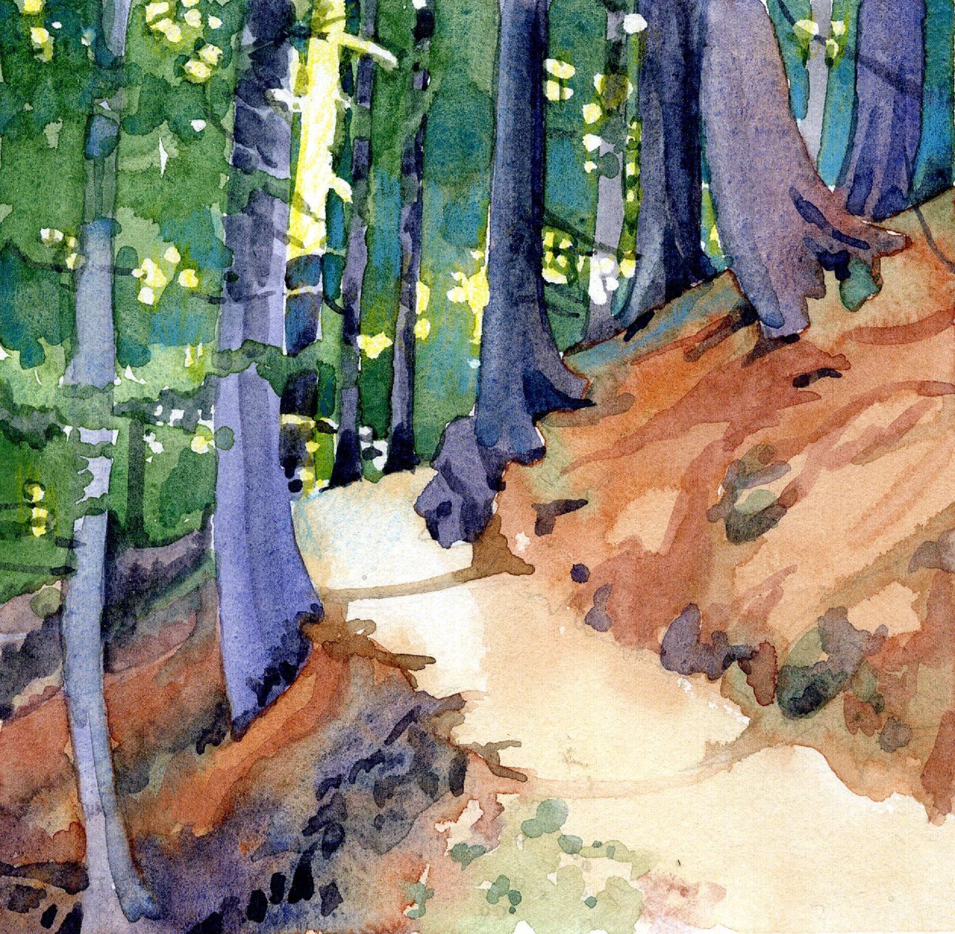
In the summer, you can effortlessly get up the mountain by cable car to explore the Arrondaz plateau. Off-season, you must rely on your legs to power up to the top. Welcome to the high-altitude plateaux of Valfréjus. What a complete change of scene! One thing's for sure, you won't want to leave it at that…
- Vaikeus
-
tapa
- Arviointi
-
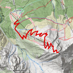
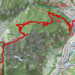
- Reitti
-
Arrondaz0,0 kmPigniers0,0 kmLe Seuil3,6 kmCharmasson4,0 kmValfréjus (1.550 m)6,8 km
- Paras kausi
-
tammihelmimaalishuhtitoukokesäheinäelosyyslokamarrasjoulu
- Korkein kohta
- 2.219 m
- Kohde
-
Valfréjus - centre station
- Korkeusprofiili
-
 © outdooractive.com

- Kirjoittaja
-
Kiertue Chemin des Gardes via le Seuil käyttää outdooractive.com toimitettu.
GPS Downloads


Yleistä tietoa
Parantava ilmasto
Lisää retkiä alueilla
-
Haute Maurienne Vanoise
610
-
Valfréjus
214