© Wirtschaft und Stadtmarketing Pforzheim - Tourismusmarketing - Pierre Johne

© Wirtschaft und Stadtmarketing Pforzheim - Tourismusmarketing - Markus Born

© Wirtschaft und Stadtmarketing Pforzheim - Tourismusmarketing - Christoph Duepper

© Wirtschaft und Stadtmarketing Pforzheim - Tourismusmarketing - Pierre Johne

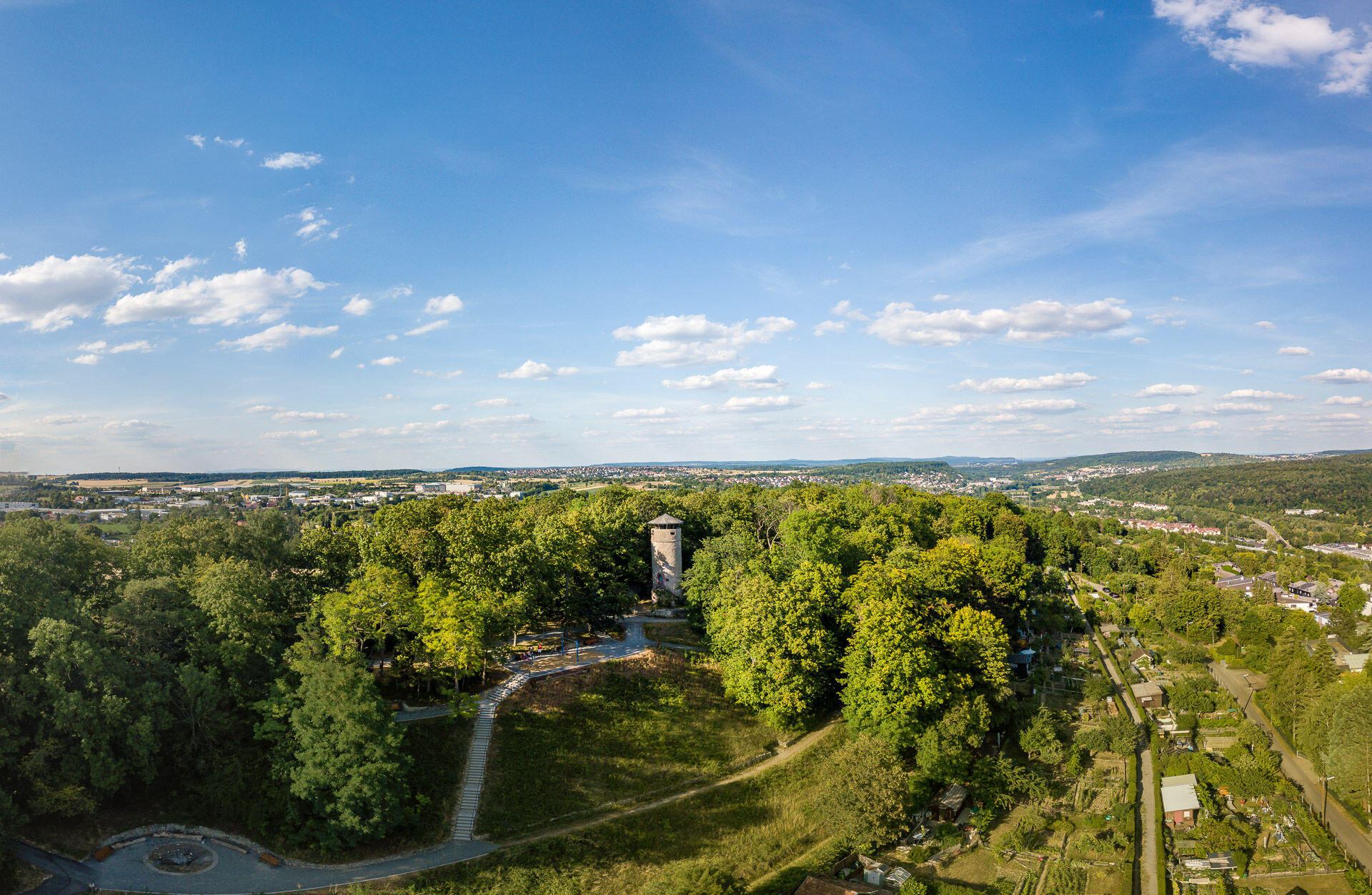
© DAV Sektion Pforzheim - Bruno Kohl

© DAV Sektion Pforzheim - Bruno Kohl

© DAV Sektion Pforzheim - Bruno Kohl

© DAV Sektion Pforzheim - Bruno Kohl

- Lyhyt kuvaus
-
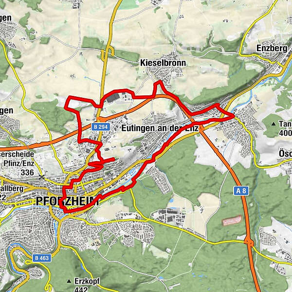
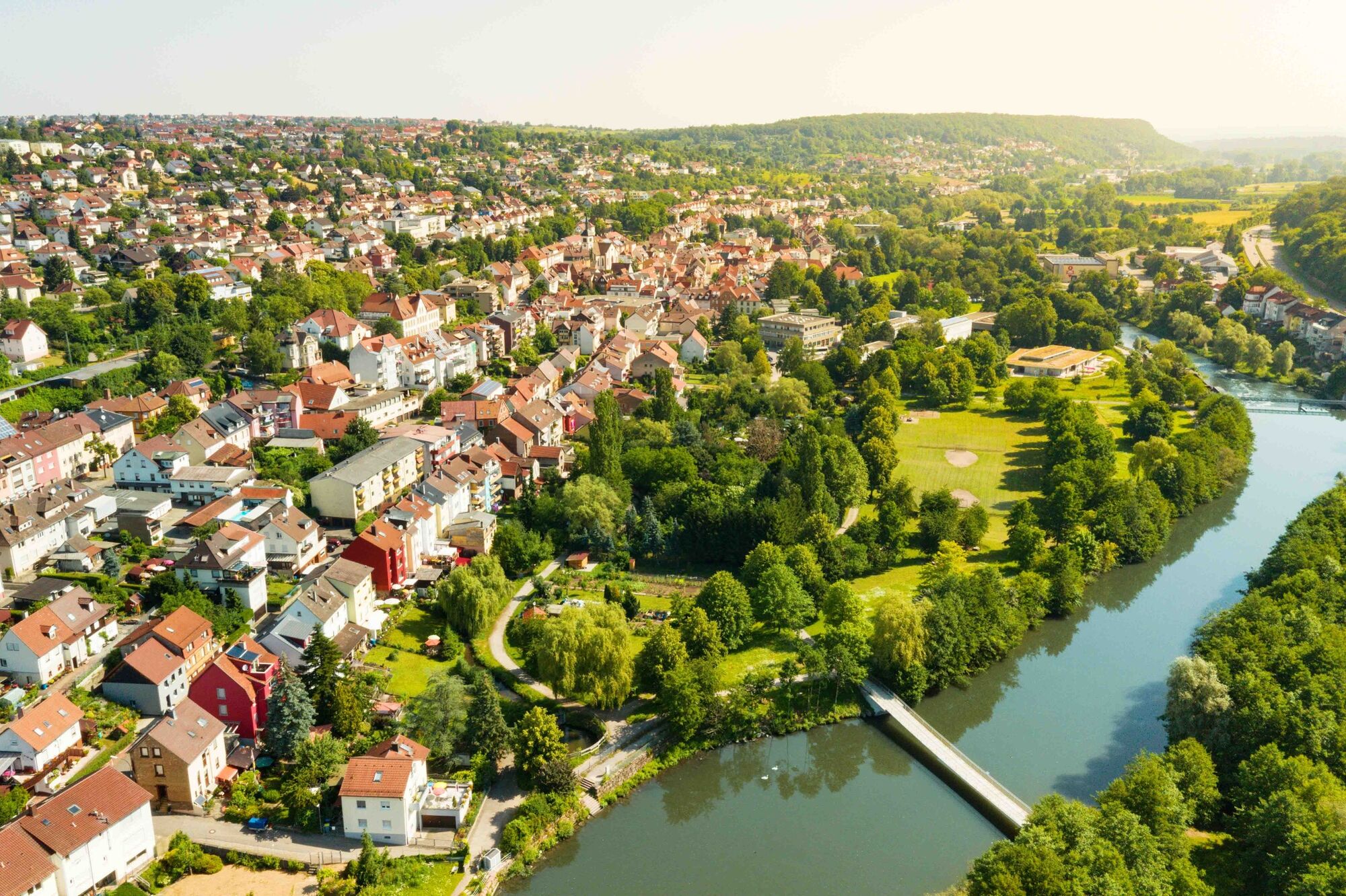
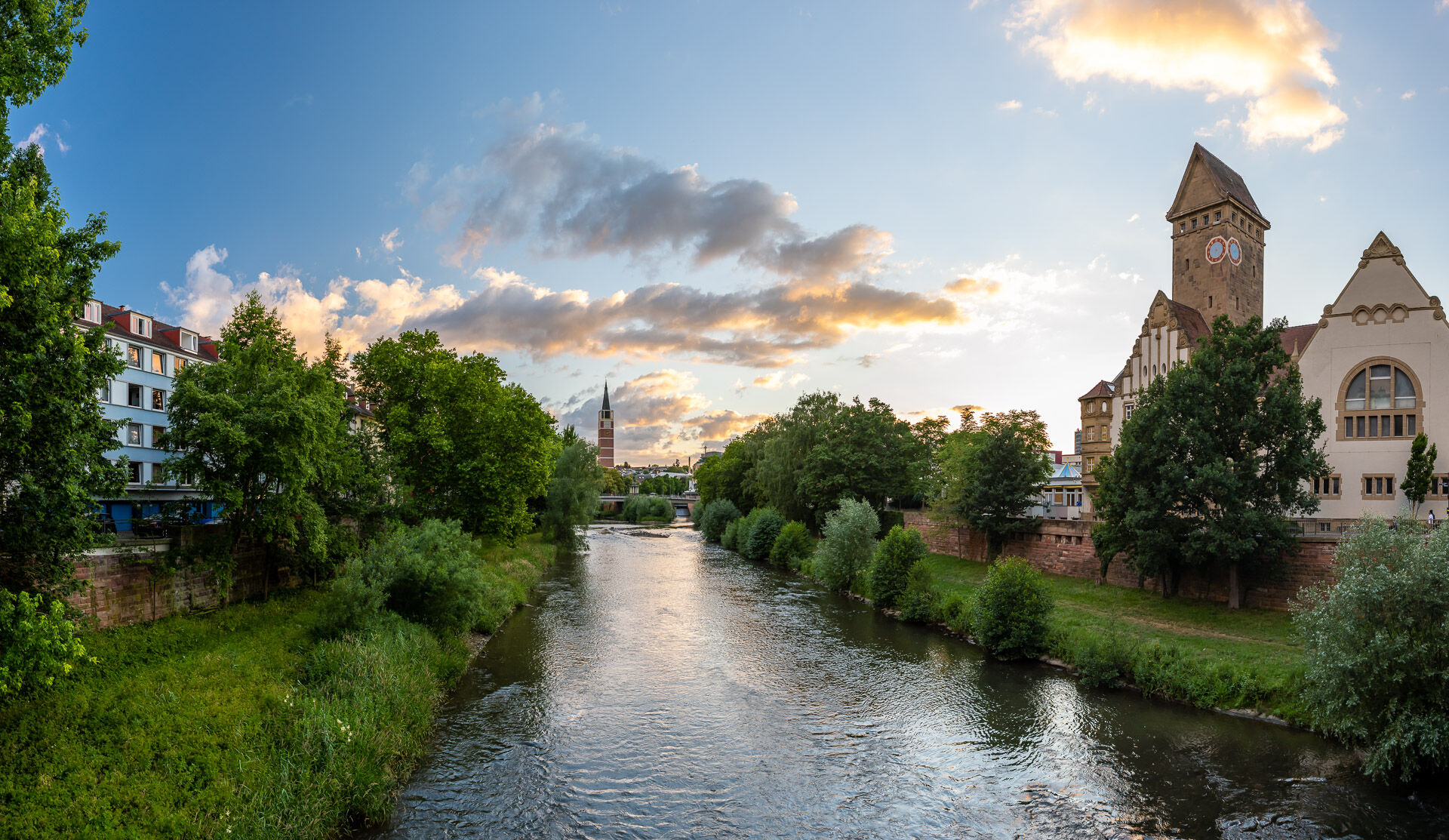
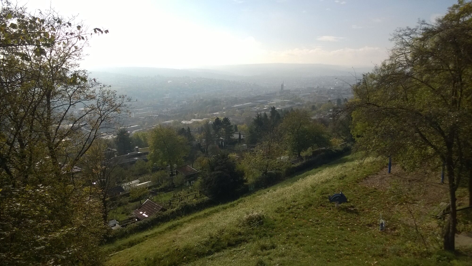
The Enzrunde follows the leisurely Enz River and leads through the north of Pforzheim. At the end you are rewarded with a great view over the city and the northern Black Forest.
- Vaikeus
-
tapa
- Arviointi
-
- Reitti
-
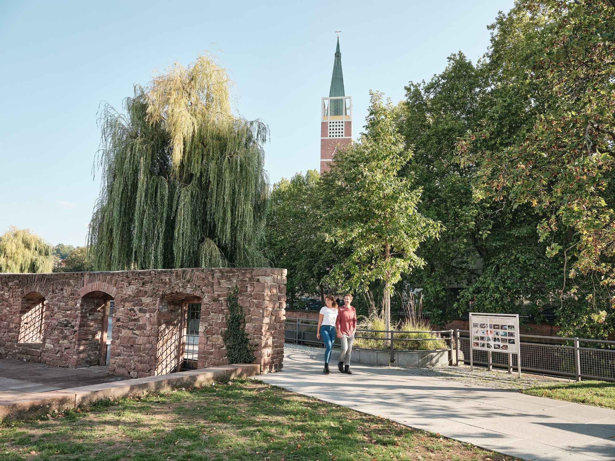
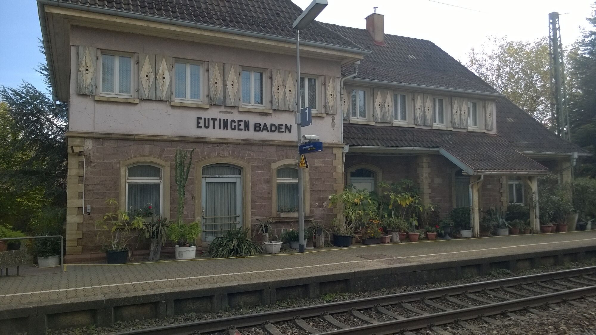
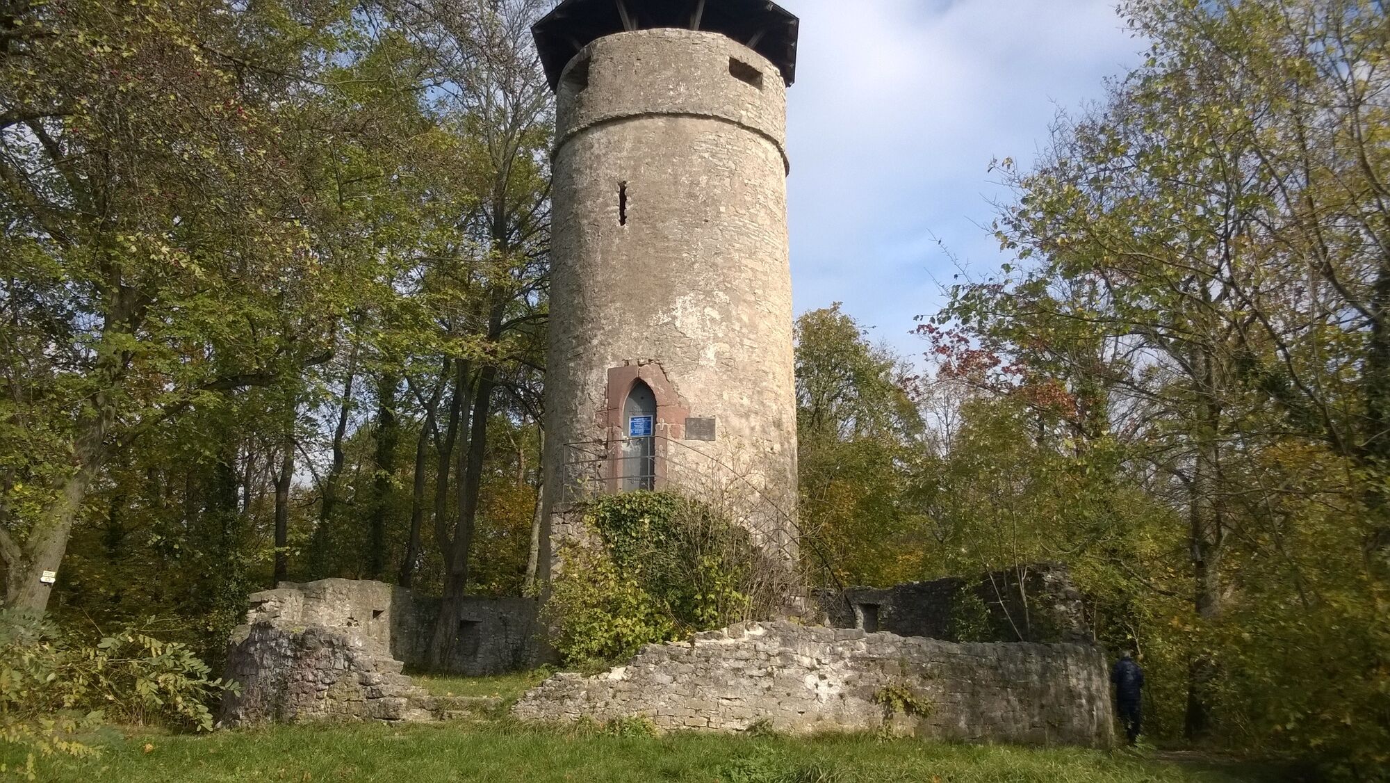
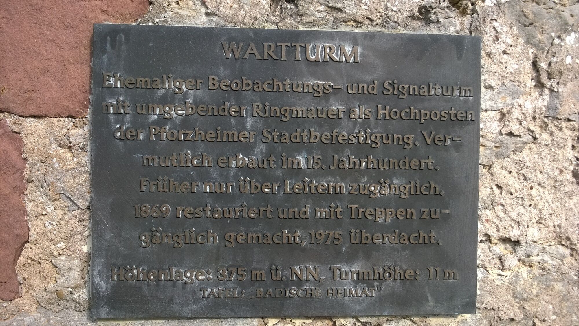
Pforzheim (261 m)0,1 kmInnenstadt0,1 kmAltstadtkirche Sankt Martin0,8 kmOststadt1,6 kmEutingen an der Enz5,5 kmNiefern7,8 kmMaierhof8,5 kmErdmannswäldle10,5 kmL'Osteria19,3 kmWartturm (375 m)19,4 kmSpielplatz am Wartturm19,5 kmWartberg20,7 kmNordstadt21,5 kmInnenstadt23,7 kmPforzheim (261 m)23,7 km
- Paras kausi
-
tammihelmimaalishuhtitoukokesäheinäelosyyslokamarrasjoulu
- Korkein kohta
- 371 m
- Kohde
-
Waisenhausplatz, Pforzheim
- Korkeusprofiili
-
 © outdooractive.com
-

-
KirjoittajaKiertue The Enzround to the north-east of Pforzheim käyttää outdooractive.com toimitettu.
GPS Downloads


Yleistä tietoa
Virvokepysäkki
Kulttuuri/Historiallinen
Lupaava
Lisää retkiä alueilla