© Nördlicher Schwarzwald - Dr. Andreas Megerle

© Nördlicher Schwarzwald - Dr. Andreas Megerle

© Nördlicher Schwarzwald - Dr. Andreas Megerle

© Nördlicher Schwarzwald - Dr. Andreas Megerle

© Nördlicher Schwarzwald - Dr. Andreas Megerle

© Nördlicher Schwarzwald - Dr. Andreas Megerle

© Nördlicher Schwarzwald - Dr. Andreas Megerle
Retkitiedot
5,01km
342
- 469m
122hm
124hm
01:30h
- Lyhyt kuvaus
-
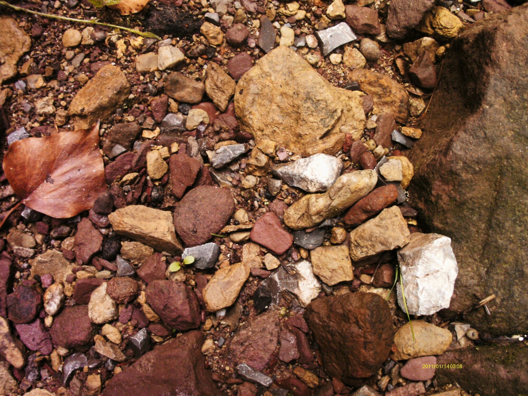
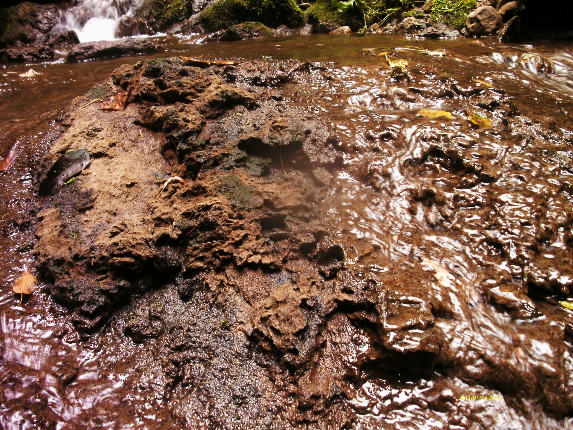
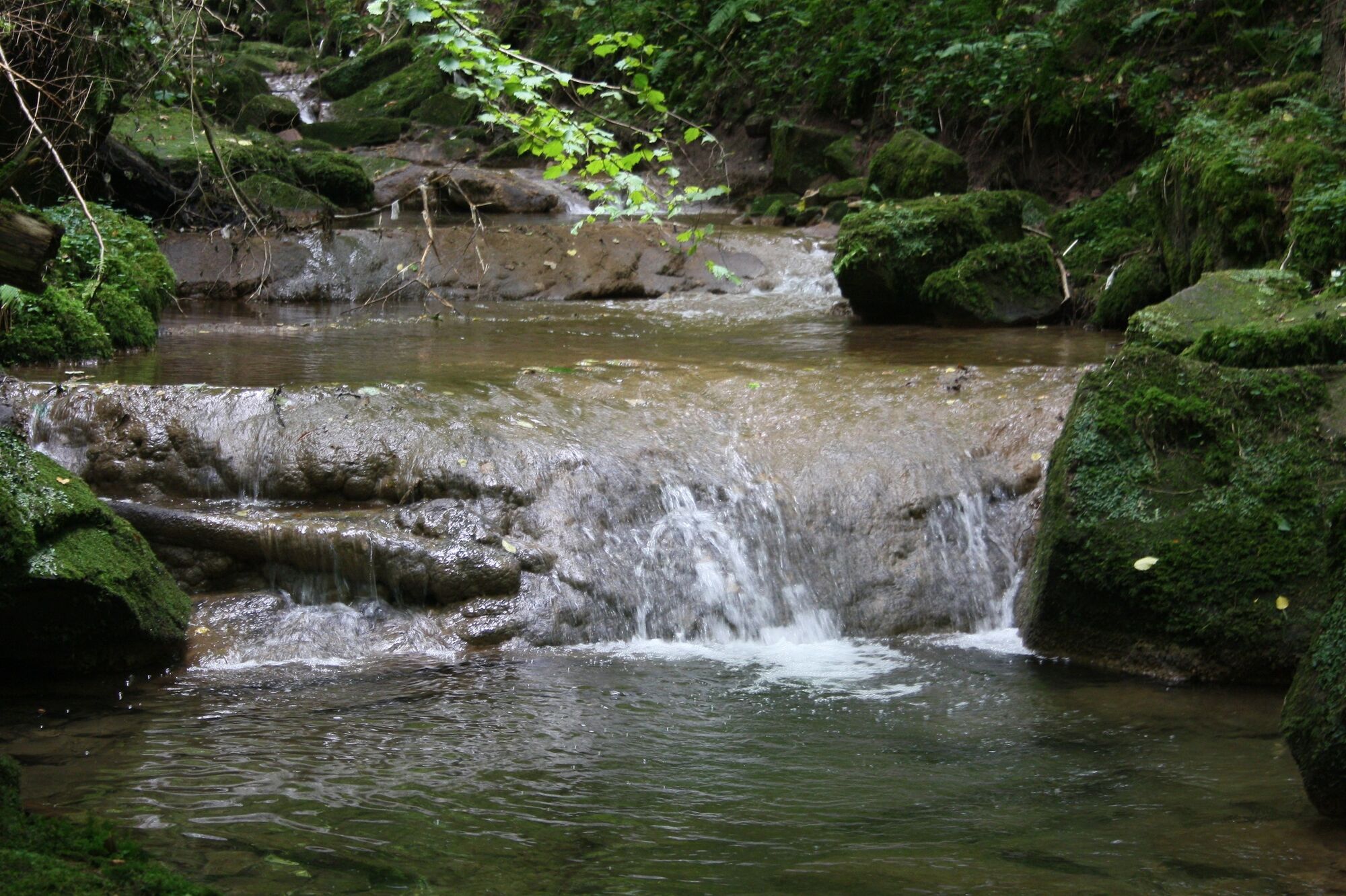
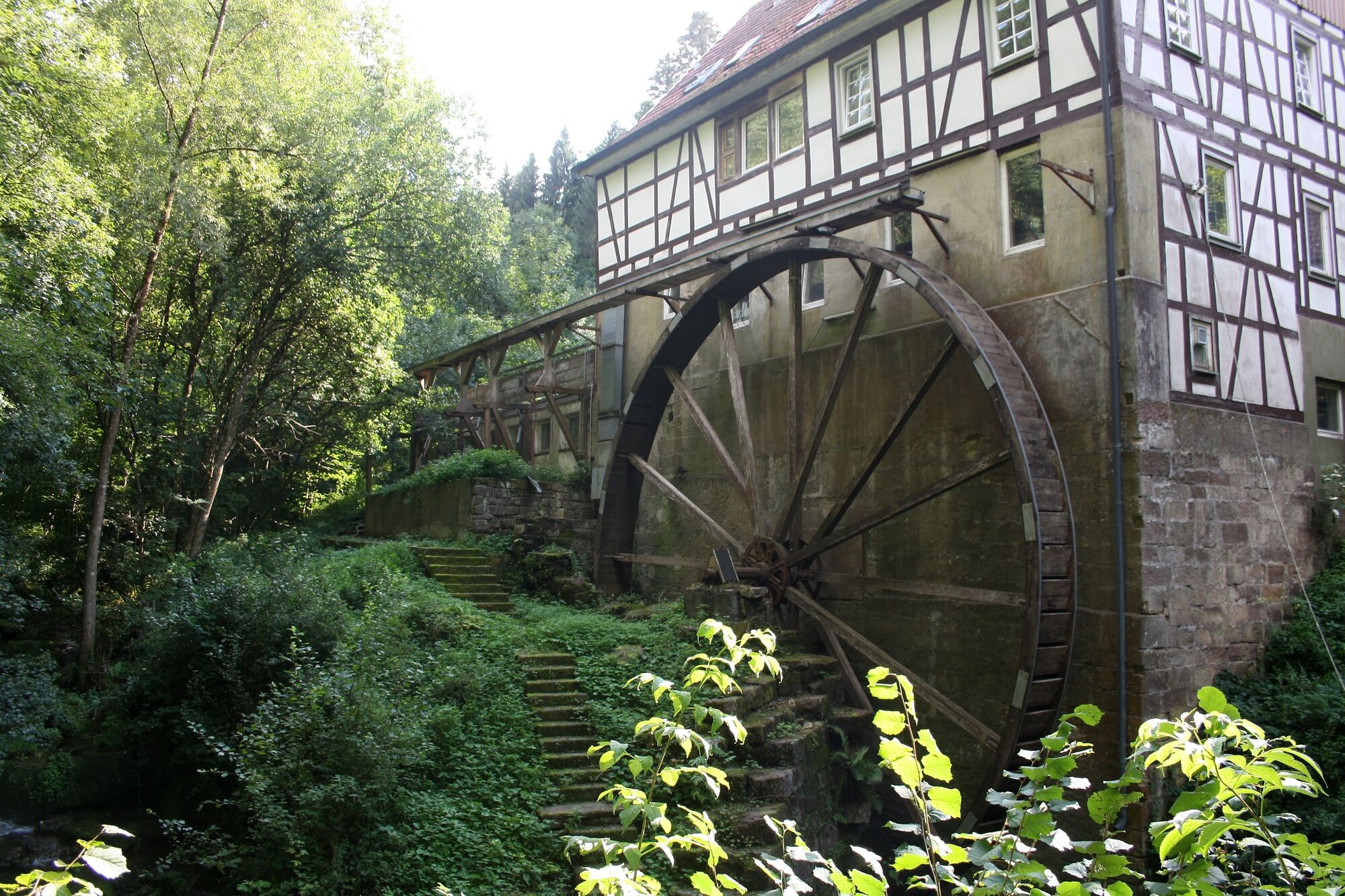
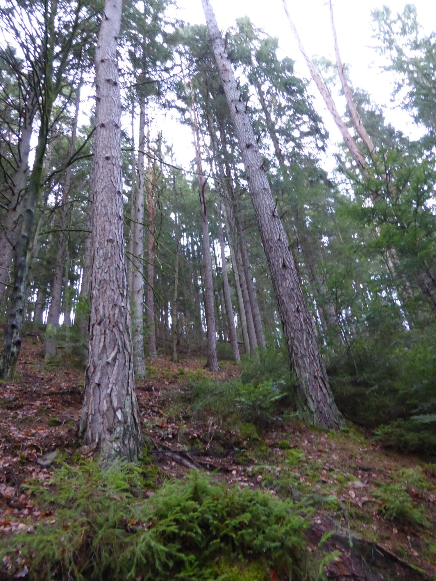
Wo aus Wasser Steine werden
Live dabei sein, wenn Steine entstehen?
Auf Millionen Jahre alten Wüsten- und Meeresböden spazieren gehen?
Erfahren, warum es im Nordschwarzwald früher Bewässerungsanlagen gab!
Das alles und noch viel mehr bietet die GeoTour Calw.
Für Familien mit Kindern, aber auch für alle, die neugierig die Region erkunden möchten. - Vaikeus
-
tapa
- Arviointi
-
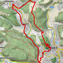
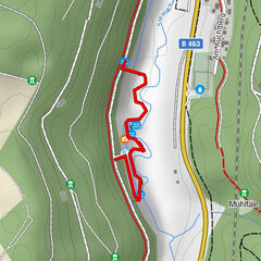
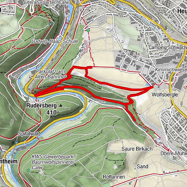
- Reitti
-
Öländerle0,1 kmCalw (347 m)1,4 kmÖländerle4,9 km
- Paras kausi
-
tammihelmimaalishuhtitoukokesäheinäelosyyslokamarrasjoulu
- Korkein kohta
- 469 m
- Kohde
-
Cawl, Parkplatz Ölanderle
- Korkeusprofiili
-
 © outdooractive.com
- Kirjoittaja
-
Kiertue GeoTour Calw - Wo aus Wasser Steine werden käyttää outdooractive.com toimitettu.
GPS Downloads


Yleistä tietoa
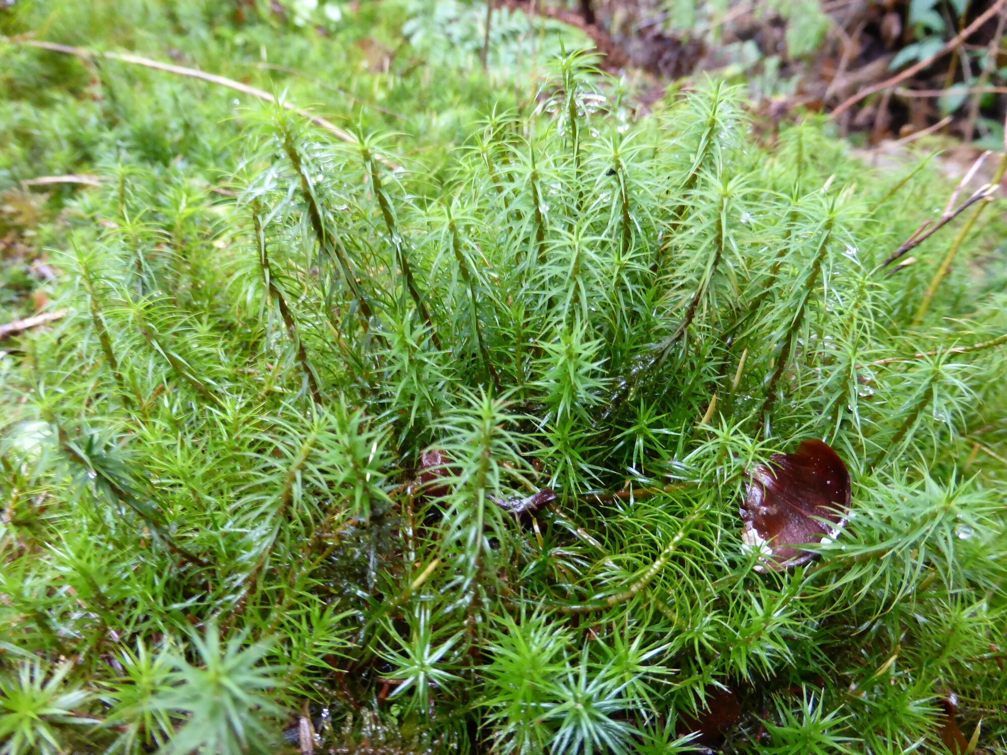
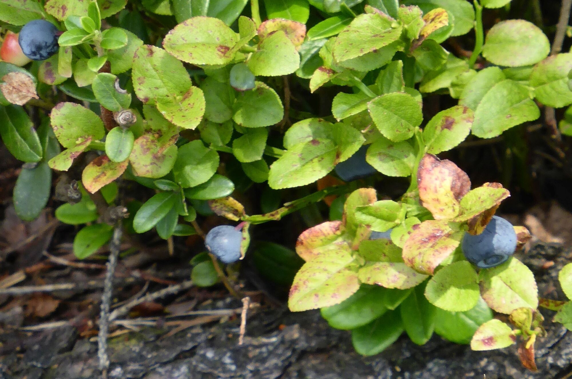
Flora
Lisää retkiä alueilla
-
Region Stuttgart
1734
-
Nördlicher Schwarzwald / Pforzheim
835
-
Calw
280