© Gemeinde Argenbühl - Antje Böse
© Gemeinde Argenbühl - Antje Böse
© Gemeinde Argenbühl - Antje Böse
© Gemeinde Argenbühl - Antje Böse
© Gemeinde Argenbühl - Antje Böse


- Lyhyt kuvaus
-
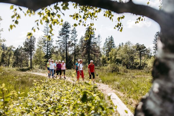
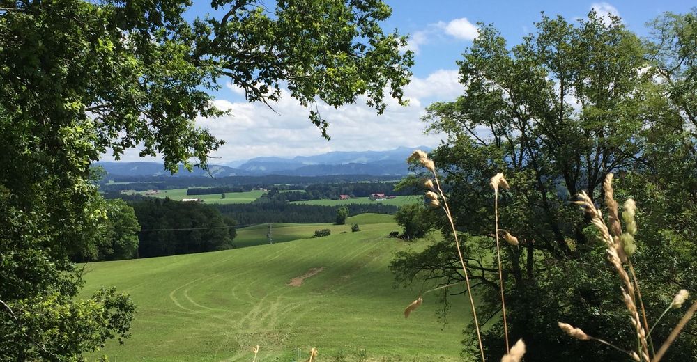
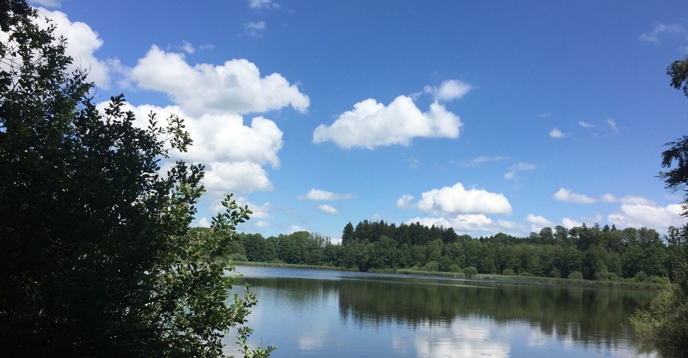
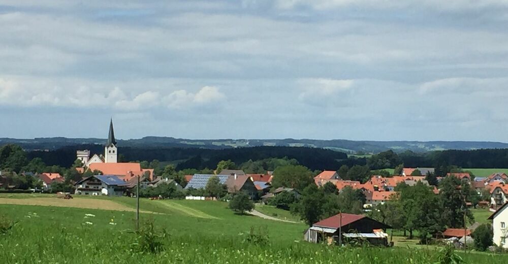
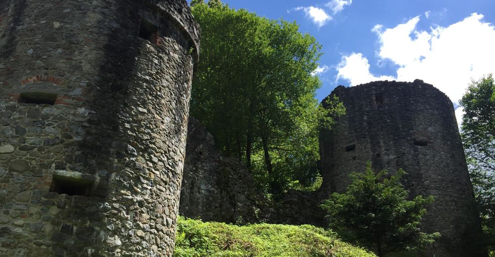
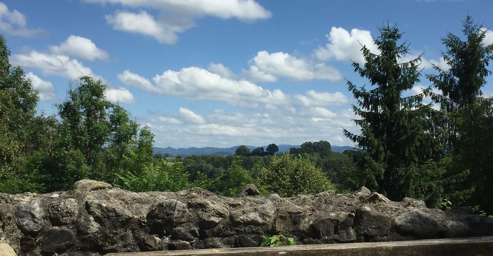
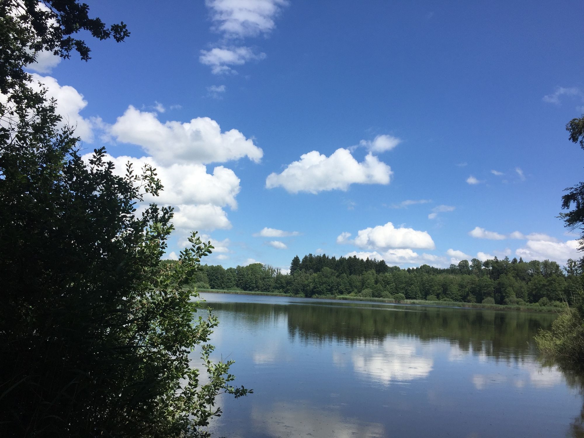
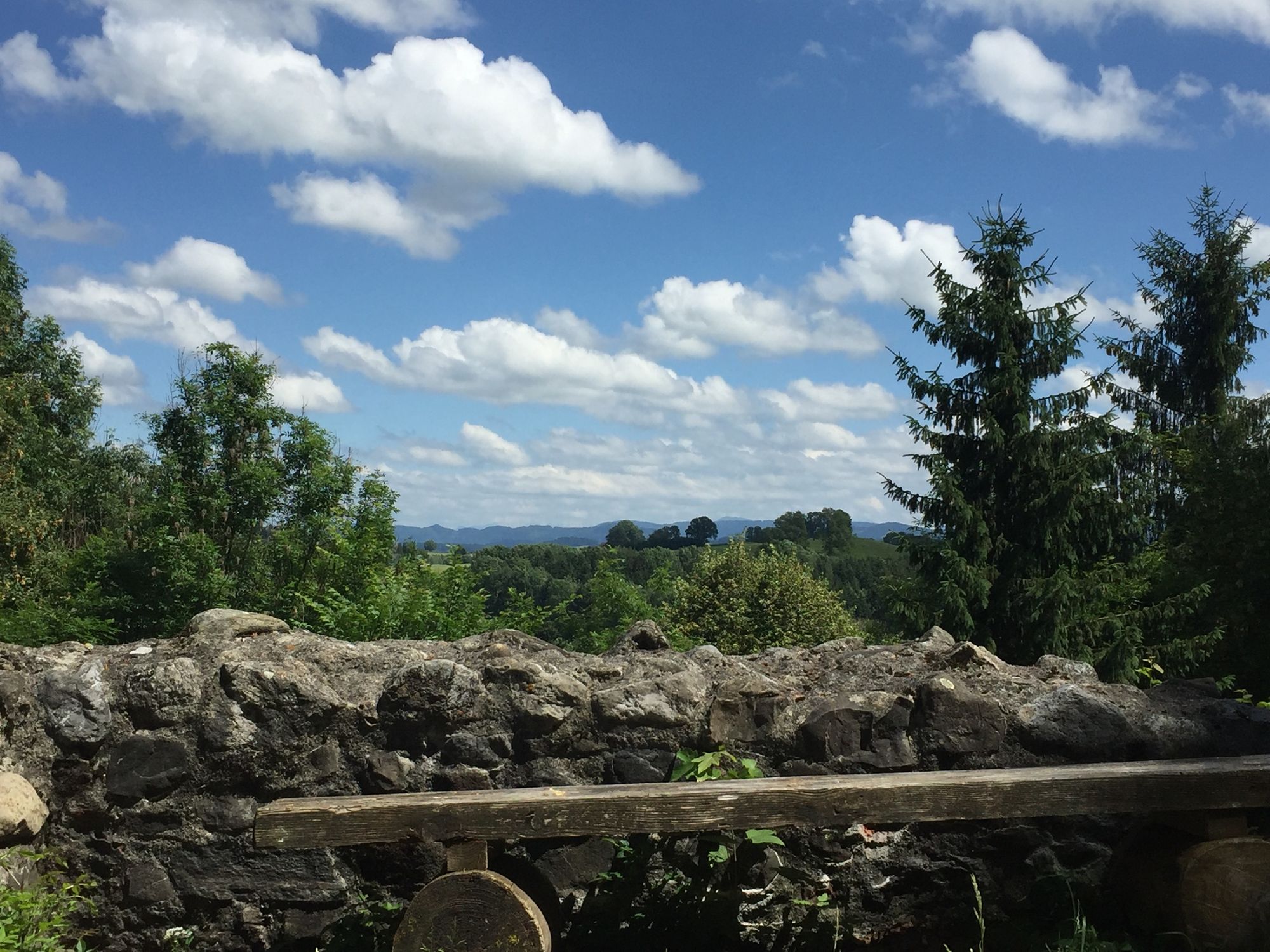
Ein Wanderweg voller Überraschungen mit einem grandiosen Ausblick auf die Alpen.
- Vaikeus
-
tapa
- Arviointi
-
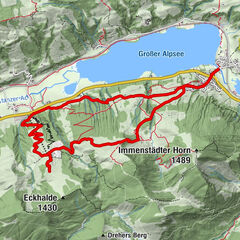
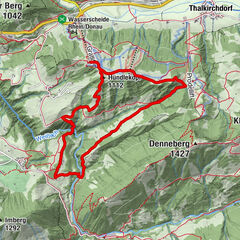
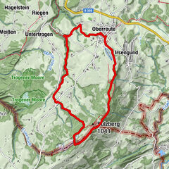
- Reitti
-
Festbierhaus0,0 kmRatzenried0,0 kmGasthaus zum Ochsen0,0 kmPfarrkirche St. Georg0,1 kmWeihers (bei Ratzenried)3,6 kmPfarrkirche St. Georg8,7 kmRatzenried8,8 kmFestbierhaus8,8 kmGasthaus zum Ochsen8,8 km
- Paras kausi
-
tammihelmimaalishuhtitoukokesäheinäelosyyslokamarrasjoulu
- Korkein kohta
- 716 m
- Kohde
-
Parkplatz Rathaus / Dorfplatz Ratzenried
- Korkeusprofiili
-
 © outdooractive.com


-

-
KirjoittajaKiertue Argenbühl - Ratzenrieder Panoramaweg Nr. 8 käyttää outdooractive.com toimitettu.
GPS Downloads


Yleistä tietoa
Virvokepysäkki
Parantava ilmasto
Kulttuuri/Historiallinen
Flora
Lupaava
Lisää retkiä alueilla
-
Allgäu
2367
-
Württembergisches Allgäu
713
-
Argenbühl
178