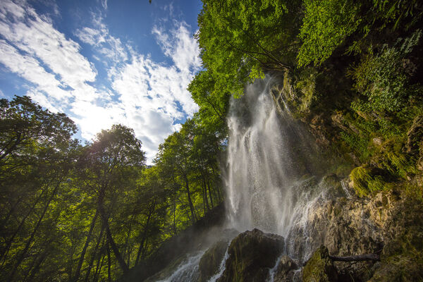
© Mythos Schwäbische Alb - Sarah Lehmann

© Mythos Schwäbische Alb - Sarah Lehmann

© Mythos Schwäbische Alb - Sarah Lehmann

© Mythos Schwäbische Alb - Sarah Lehmann

© Mythos Schwäbische Alb - Sarah Lehmann

© Mythos Schwäbische Alb - Sarah Lehmann

© Mythos Schwäbische Alb - Sarah Lehmann
- Lyhyt kuvaus
-
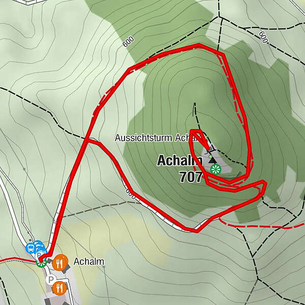
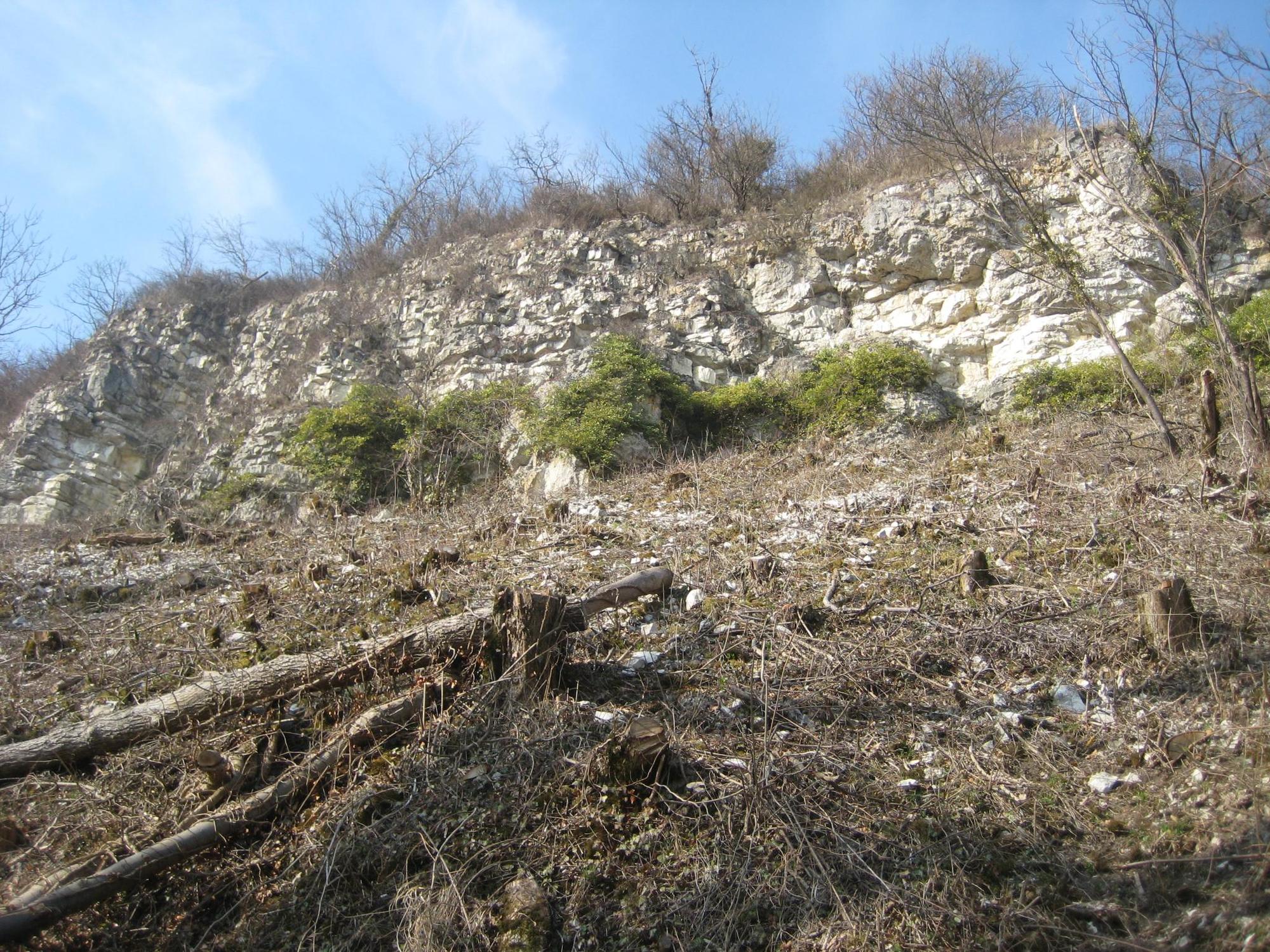
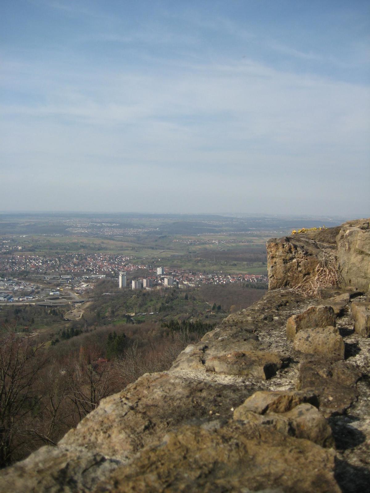
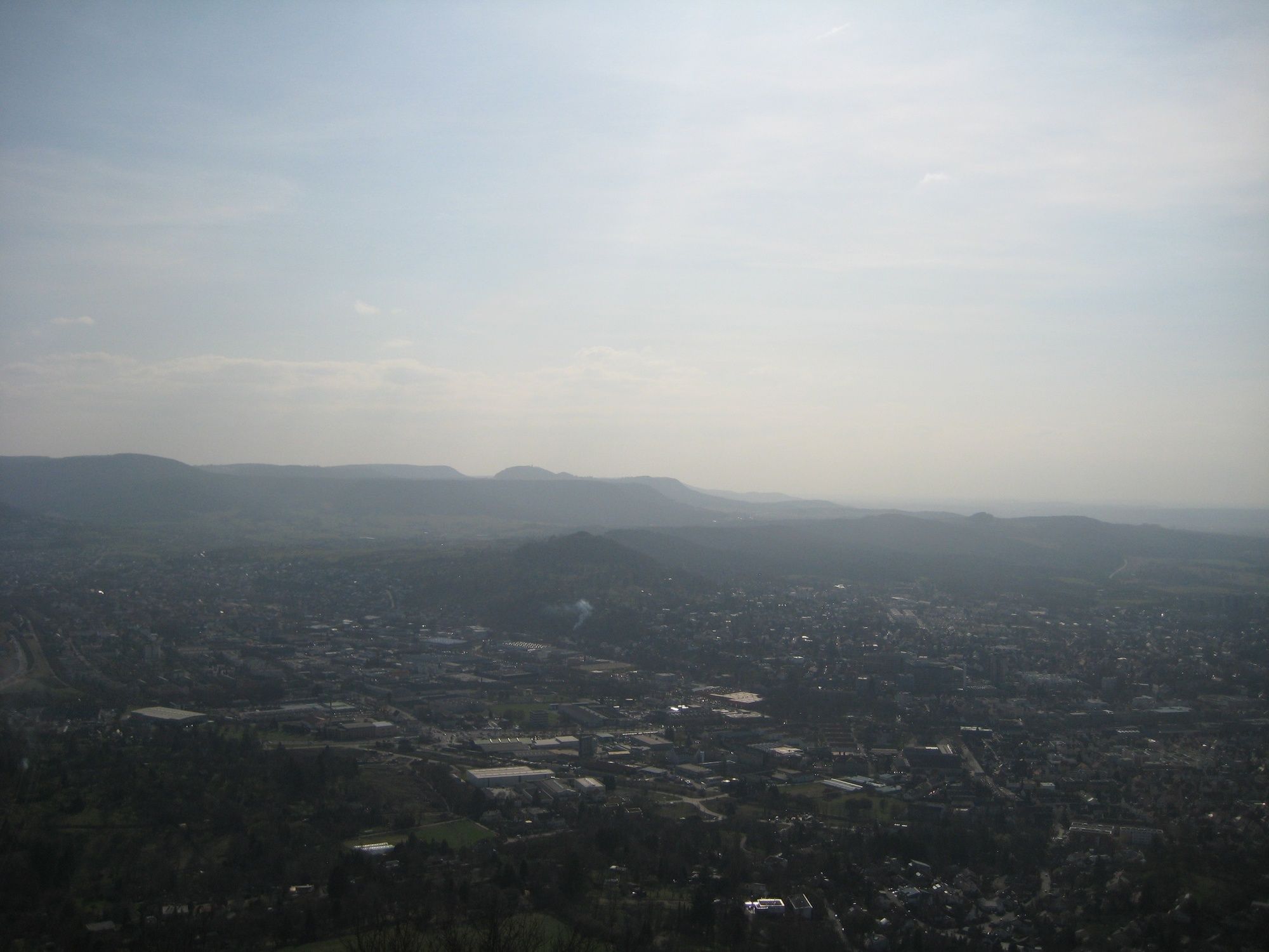
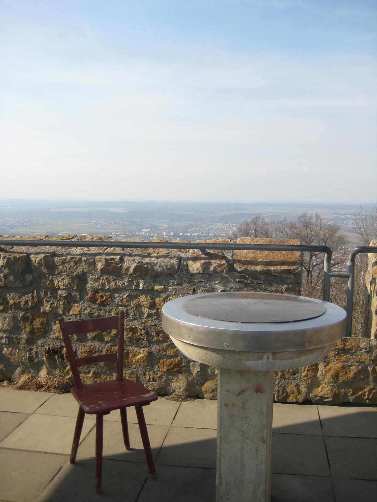
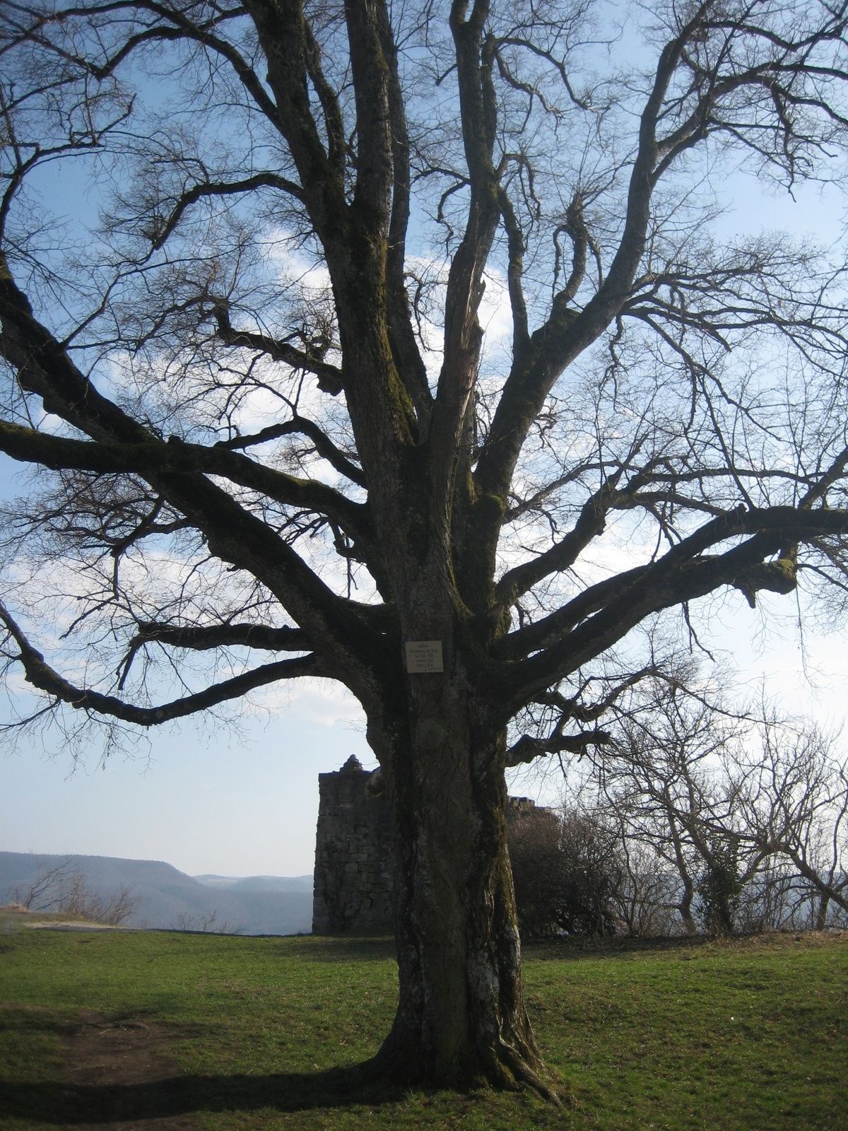
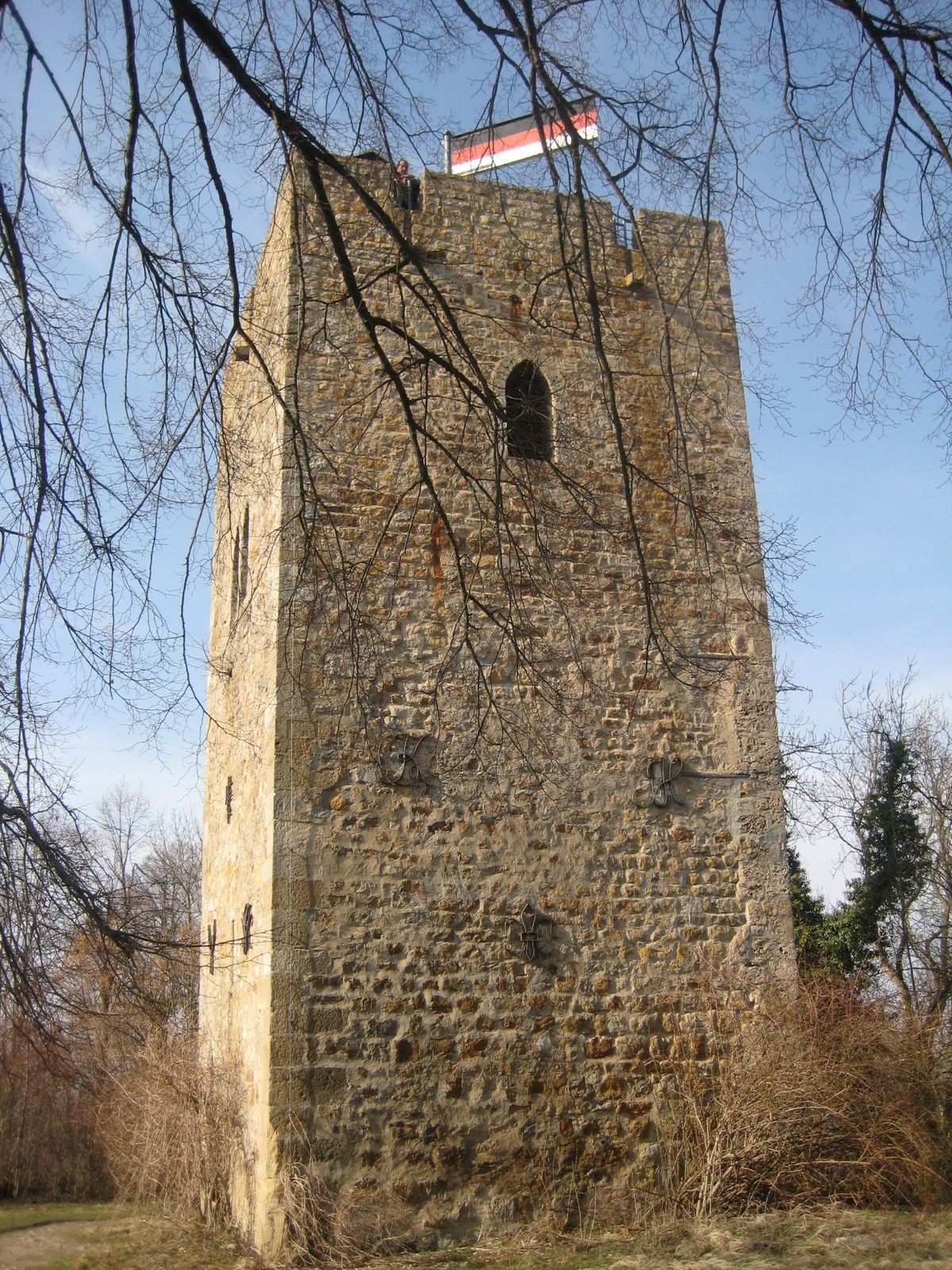
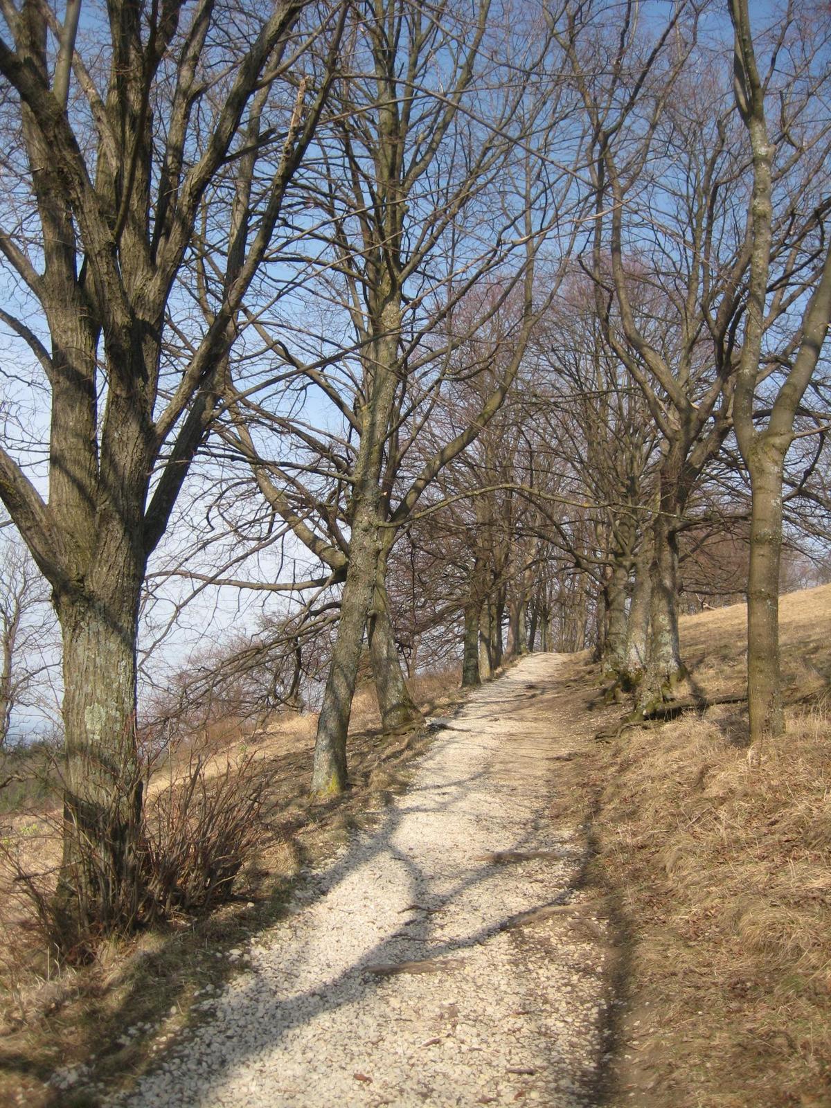
The Achalm is the iconic Reutlingen lookout and with its 707 above sealevel one of Reutlingen's main attractions. The hicking trail to the summit leads past amazing alleys and green fields. On the mountains summit stands the castle ruins of the Achalm. The views last from the Swabian Alb to the tower of Stuttgart and, in good weather conditions, until the Black Forest.
- Vaikeus
-
tapa
- Arviointi
-
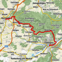
- Reitti
-
Reutlingen (382 m)0,0 kmAchalm0,0 kmAchalm (707 m)1,1 kmEningen unter Achalm1,5 km
- Paras kausi
-
tammihelmimaalishuhtitoukokesäheinäelosyyslokamarrasjoulu
- Korkein kohta
- 678 m
- Korkeusprofiili
-
 © outdooractive.com
- Kirjoittaja
-
Kiertue To the top of Achalm and back käyttää outdooractive.com toimitettu.
GPS Downloads


Yleistä tietoa
Virvokepysäkki
Flora
Fauna
Lupaava
Lisää retkiä alueilla
-
Region Stuttgart
1734
-
Zollernalb
472
-
Reutlingen
235