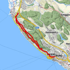
Vom Bahnhof Konstanz entlang des Bodenseeufers zur Insel Mainau

© Marketing und Tourismus Konstanz GmbH - Dagmar Schwelle
© Marketing und Tourismus Konstanz GmbH - Dagmar Schwelle
© Marketing und Tourismus Konstanz GmbH - Dagmar Schwelle

© Marketing und Tourismus Konstanz GmbH - Dagmar Schwelle
© Marketing und Tourismus Konstanz GmbH - Dagmar Schwelle

© Marketing und Tourismus Konstanz GmbH - Dagmar Schwelle

© Marketing und Tourismus Konstanz GmbH - Dagmar Schwelle

© Marketing und Tourismus Konstanz GmbH - Dagmar Schwelle
© Marketing und Tourismus Konstanz GmbH - Achim Mende
- Lyhyt kuvaus
-
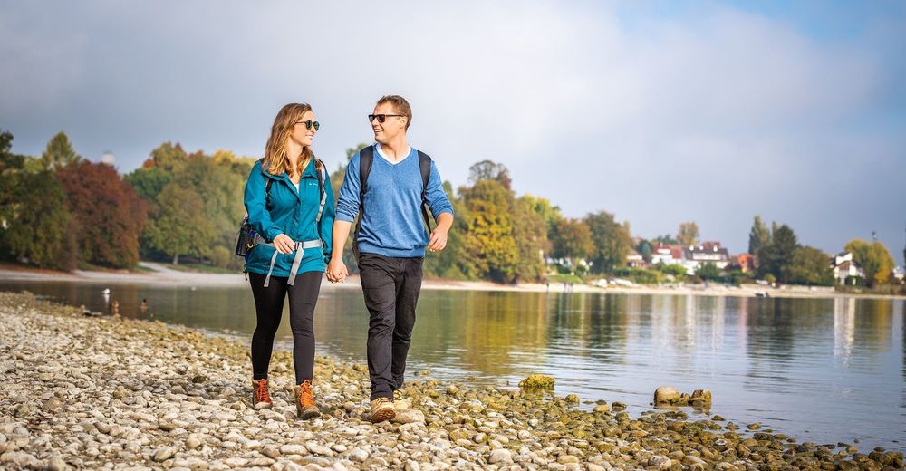
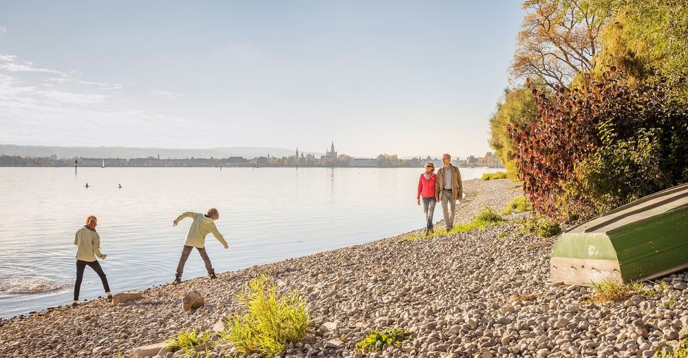
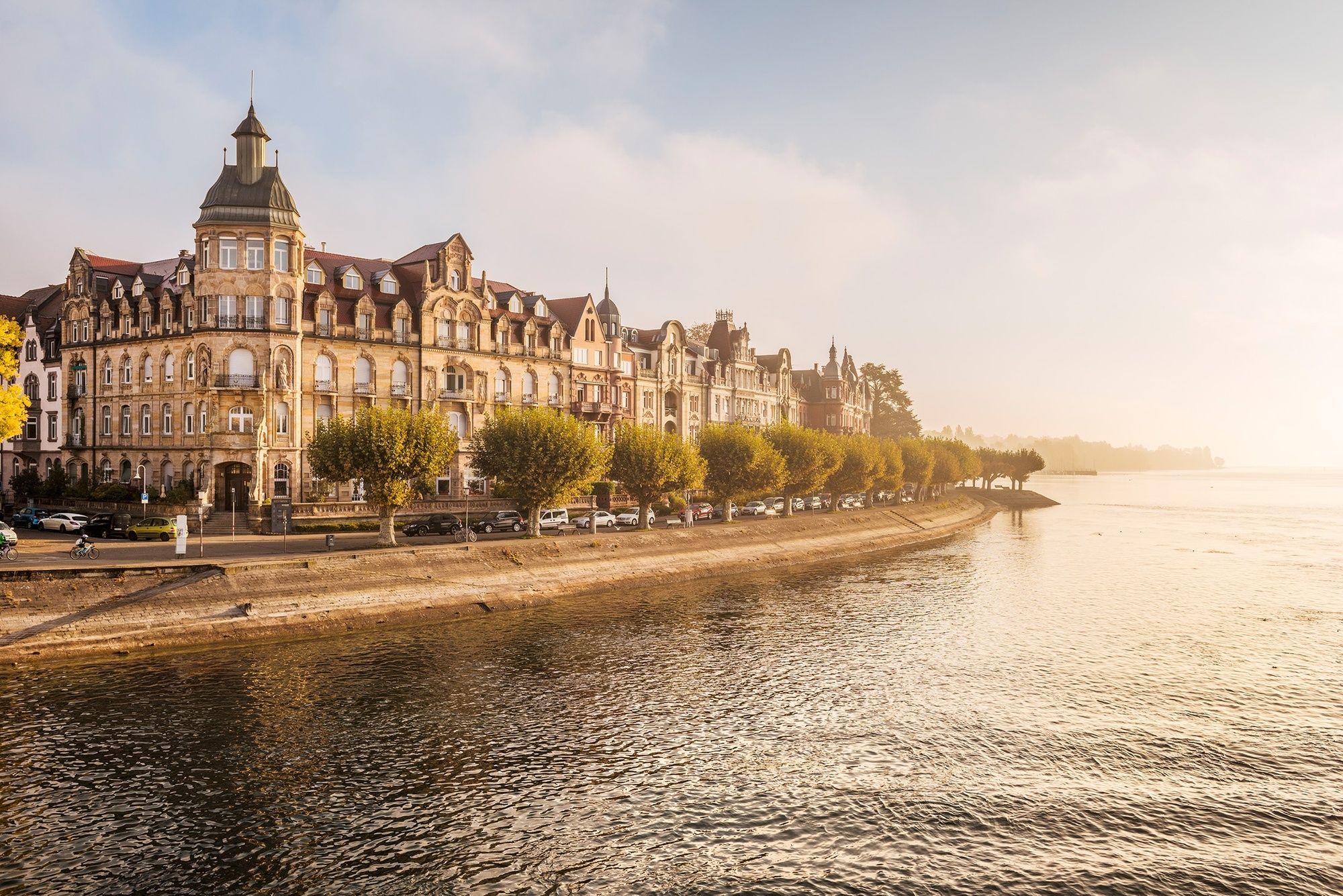
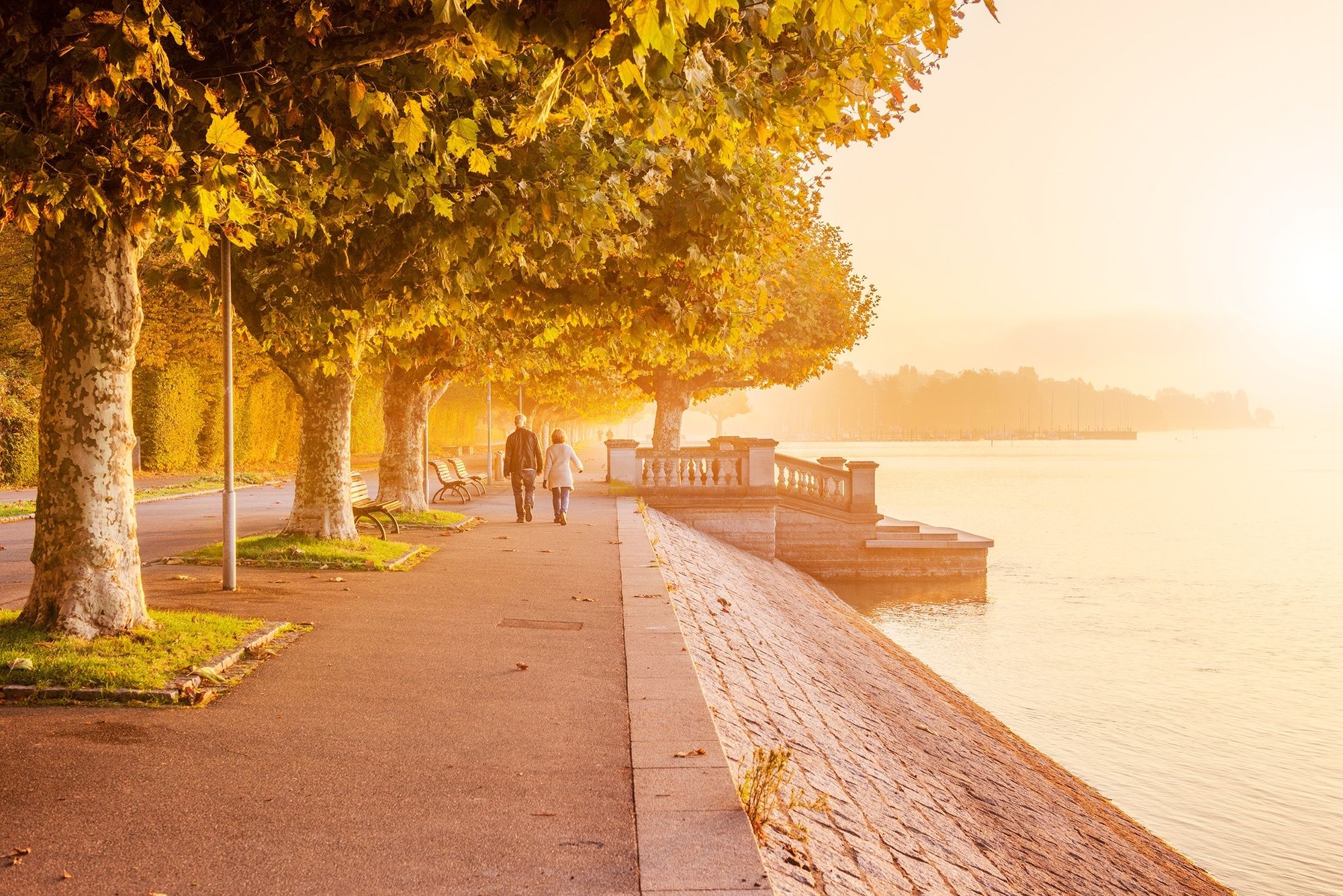
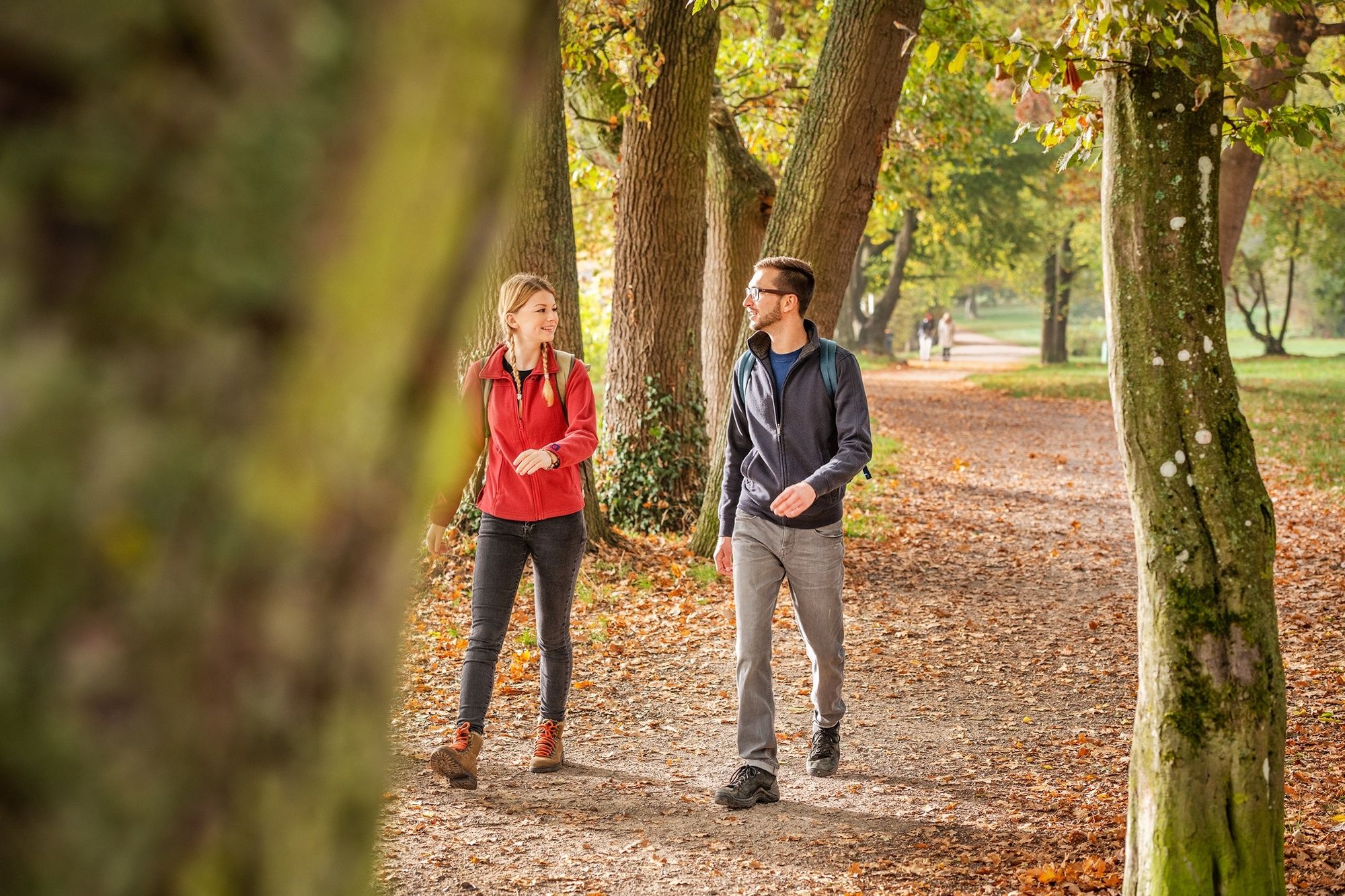
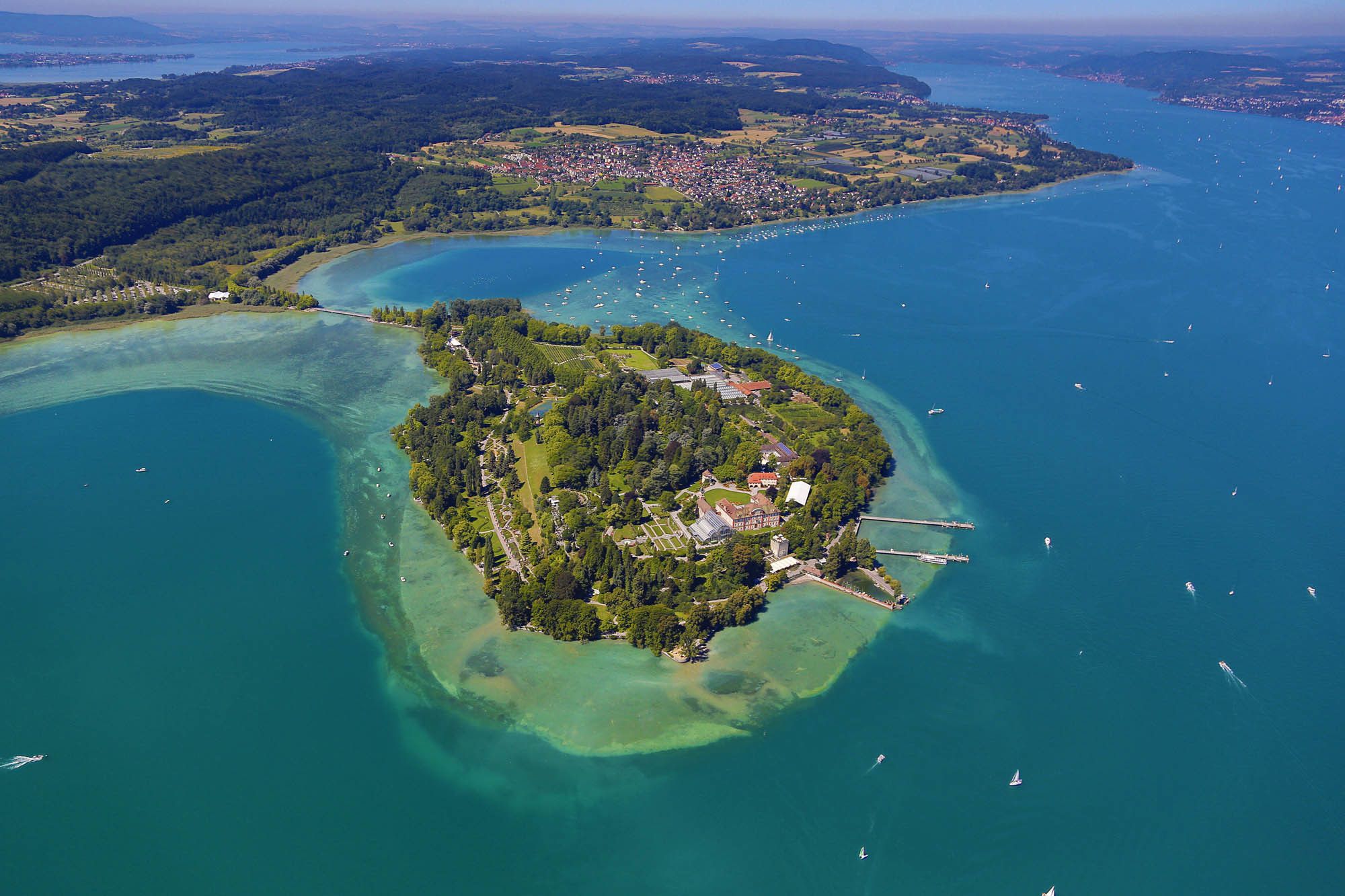
Auf der entspannten Wanderung von der Konstanzer Innenstadt über's "Hörnle" und Staad zur Blumeninsel Mainau haben wir (fast) immer den herrlichen Bodensee im Blick.
- Vaikeus
-
helppo
- Arviointi
-
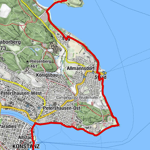
- Reitti
-
Kreuzlingen (397 m)Constance (405 m)0,1 kmKonstanz0,1 kmAltstadt0,4 kmAlt-katholische Christuskirche0,6 kmMöve1,9 kmStaad6,2 kmEgg8,2 kmSt. Josef8,2 kmRothaus Seeterrassen10,1 km
- Paras kausi
-
tammihelmimaalishuhtitoukokesäheinäelosyyslokamarrasjoulu
- Korkein kohta
- 418 m
- Kohde
-
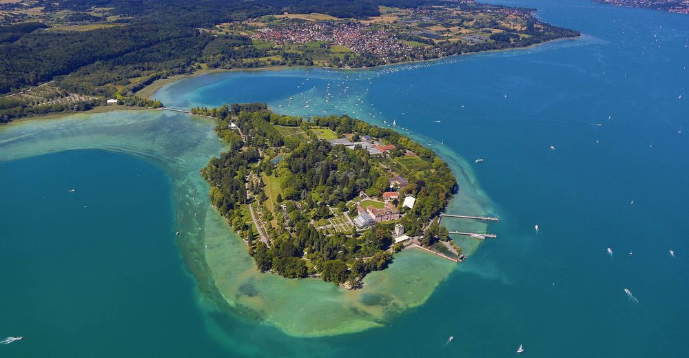
Insel Mainau
- Korkeusprofiili
-
 © outdooractive.com


- Kirjoittaja
-
Kiertue Vom Bahnhof Konstanz entlang des Bodenseeufers zur Insel Mainau käyttää outdooractive.com toimitettu.
GPS Downloads


Yleistä tietoa
Virvokepysäkki
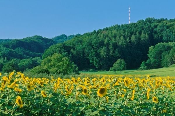
Flora
Lupaava
Lisää retkiä alueilla
-
Thurgau Bodensee
1426
-
Kreuzlingen
408
-
Konstanz
127