- Lyhyt kuvaus
-
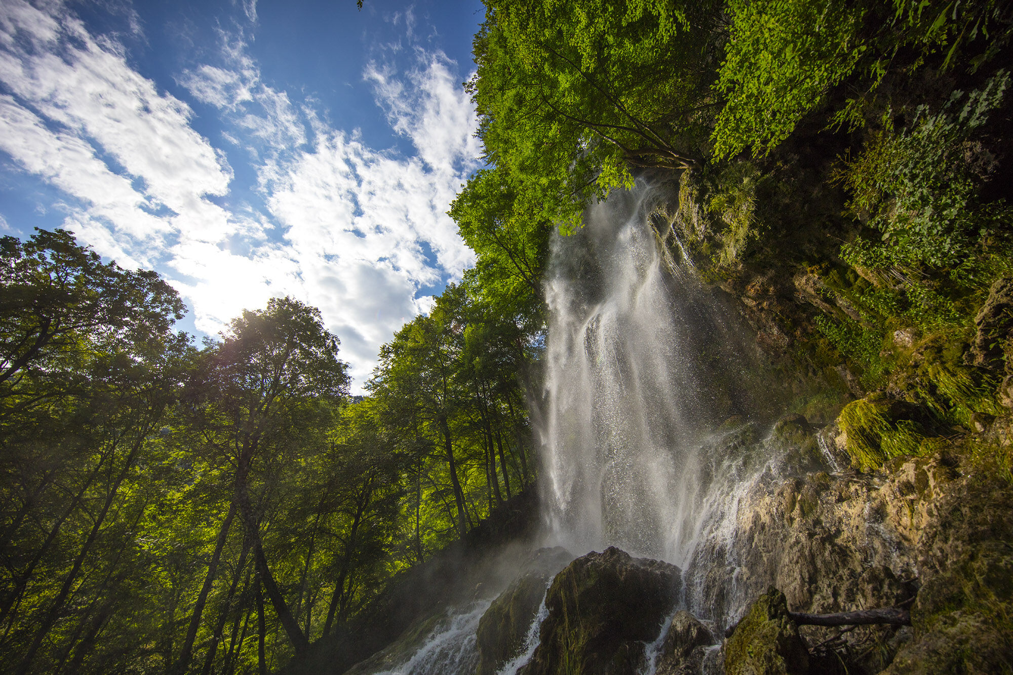
The Urach waterfall alone is an experience, but when coupled with magnificent views from the rocky outcrops of the Rutschenfelsen and the second, equally spectacular Guetersteiner waterfall, the whole tour becomes a must-see.
- Vaikeus
-
tapa
- Arviointi
-
- Reitti
-
Uracher Wasserfall1,8 kmElefantenhöhle1,9 kmRutschenfelsen (755 m)3,6 km
- Paras kausi
-
tammihelmimaalishuhtitoukokesäheinäelosyyslokamarrasjoulu
- Korkein kohta
- 772 m
- Kohde
-
Southernmost end of the Maisental car park (P23)
- Korkeusprofiili
-
 © outdooractive.com

- Kirjoittaja
-
Kiertue Wasserfallsteig Bad Urach käyttää outdooractive.com toimitettu.
GPS Downloads


Yleistä tietoa
Virvokepysäkki
Parantava ilmasto
Sisäpiirin vinkki
Flora
Lupaava
Lisää retkiä alueilla
-
Schwäbische Alb
1240
-
Zollernalb
472
-
Bad Urach
348