- Lyhyt kuvaus
-
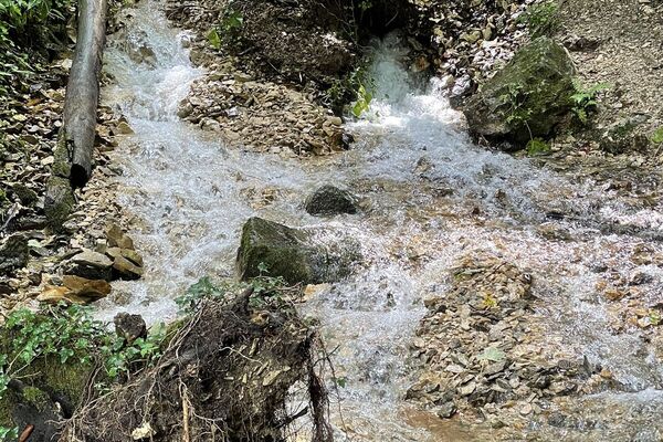
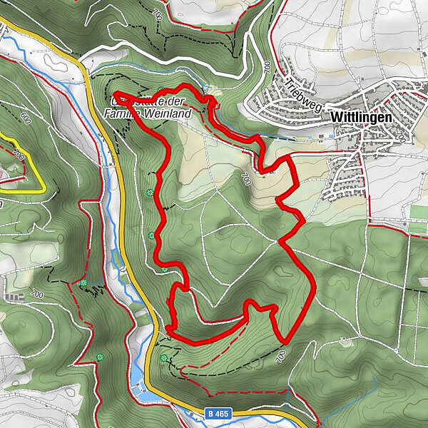
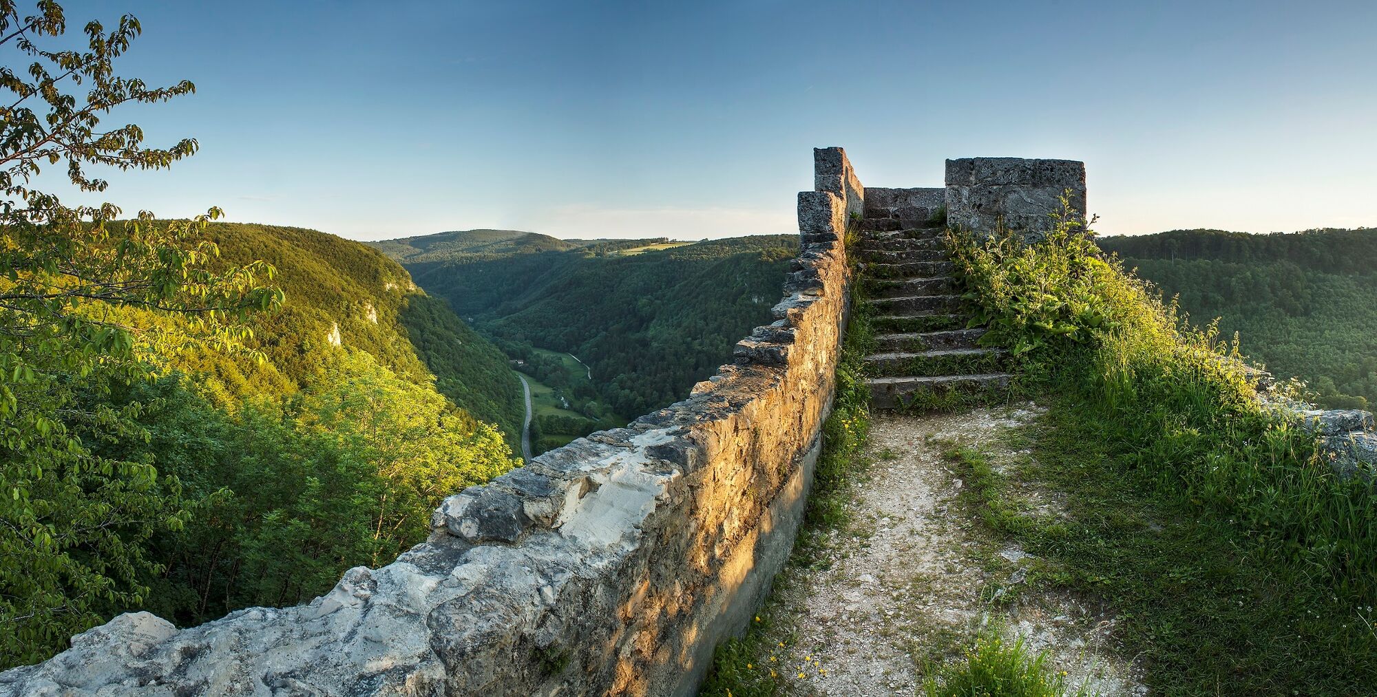
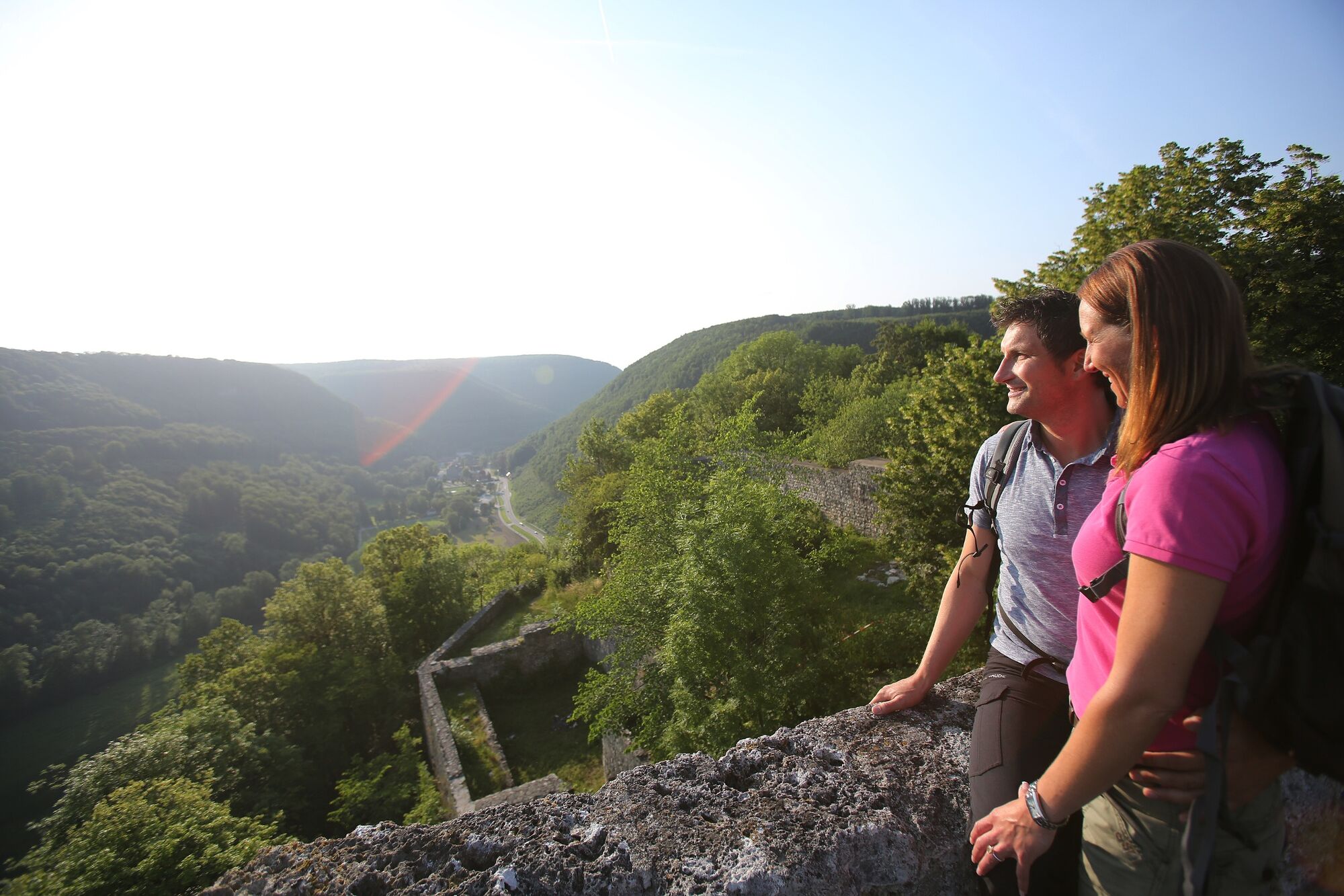
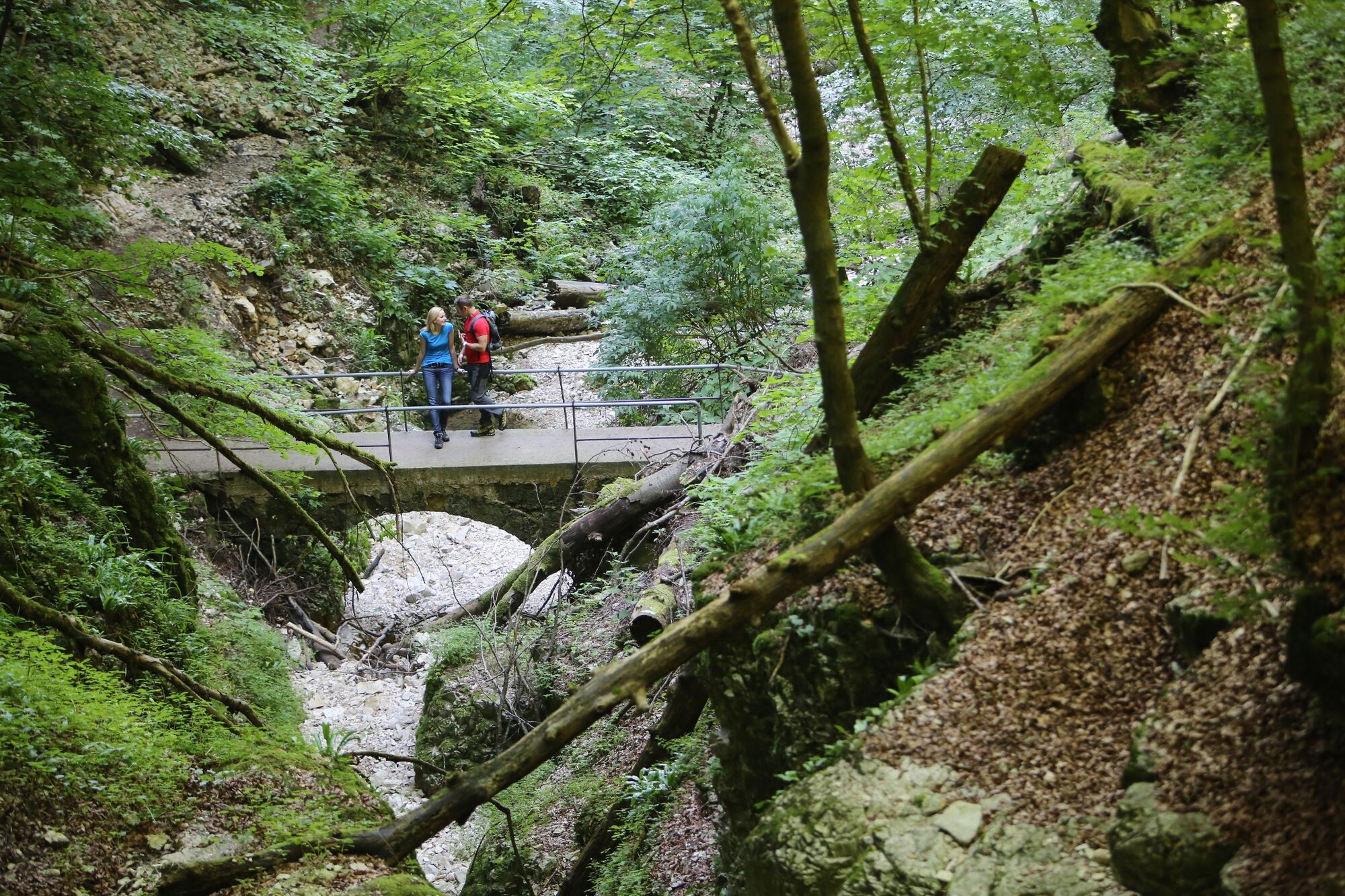
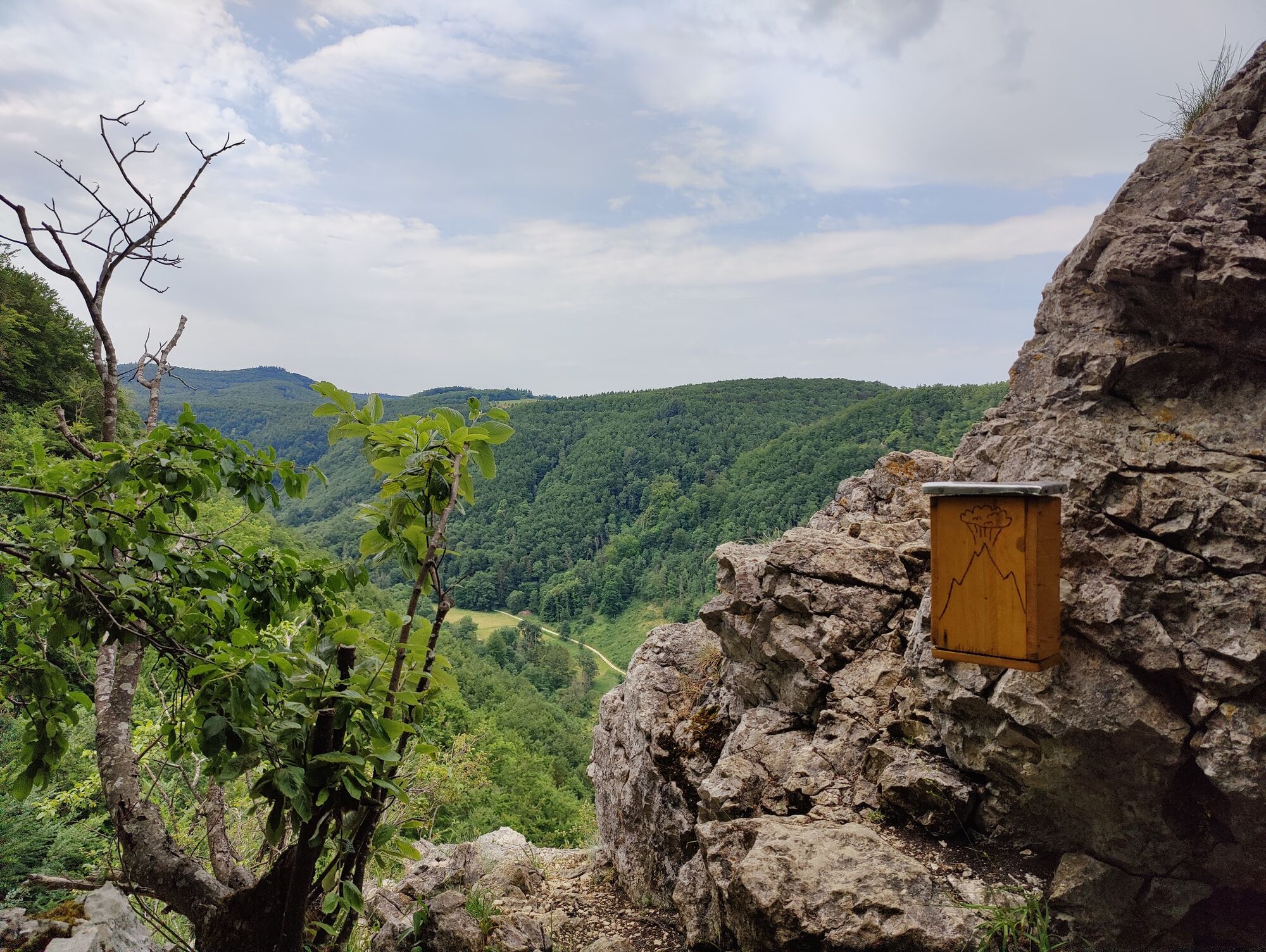
The Hohenwittlingensteig route takes us on a journey into another time. Along the nearly seven-kilometer circular route we see orchards and shaded forests; visit ruins and caves and wander through impressive gorges.
- Vaikeus
-
tapa
- Arviointi
-
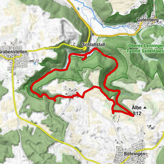
- Reitti
-
Wittlingen0,1 kmMeyerkönigbrunnen3,3 kmSteffesloch4,7 kmSchillerhöhle5,2 km
- Paras kausi
-
tammihelmimaalishuhtitoukokesäheinäelosyyslokamarrasjoulu
- Korkein kohta
- 725 m
- Kohde
-
Car Park Hohenwittlingen (P65)
- Korkeusprofiili
-
 © outdooractive.com

- Kirjoittaja
-
Kiertue Hohenwittlingensteig käyttää outdooractive.com toimitettu.
GPS Downloads


Yleistä tietoa
Parantava ilmasto
Kulttuuri/Historiallinen
Lupaava
Lisää retkiä alueilla
-
Schwäbische Alb
1240
-
Bad Urach
348