
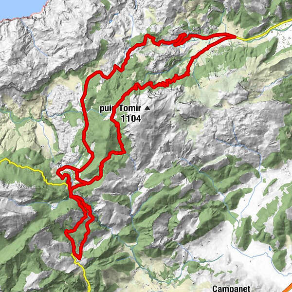
Retkitiedot
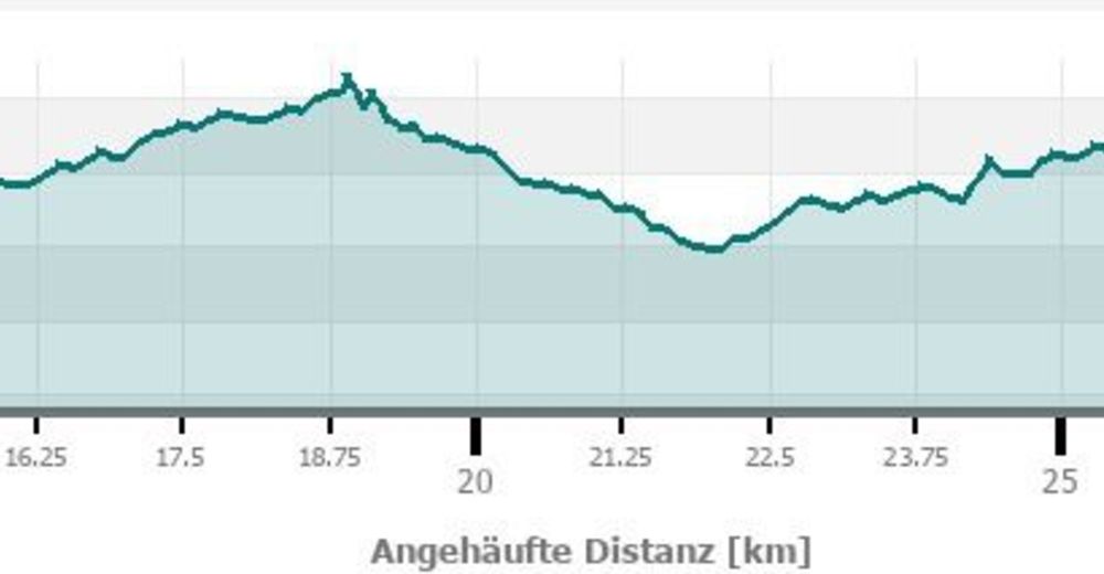
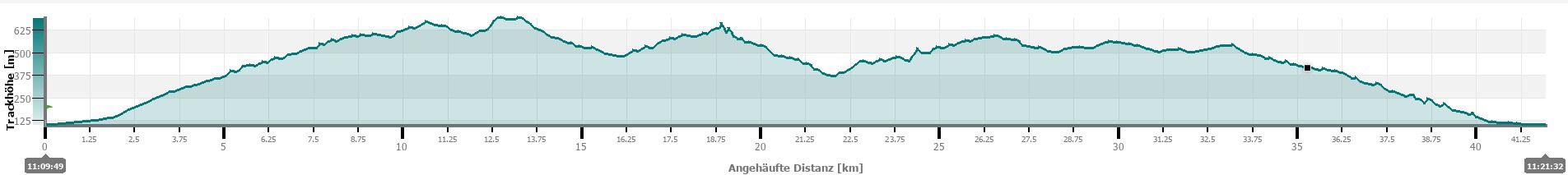
41,03km
100
- 696m
1.495hm
1.495hm
06:00h
- Lyhyt kuvaus
-
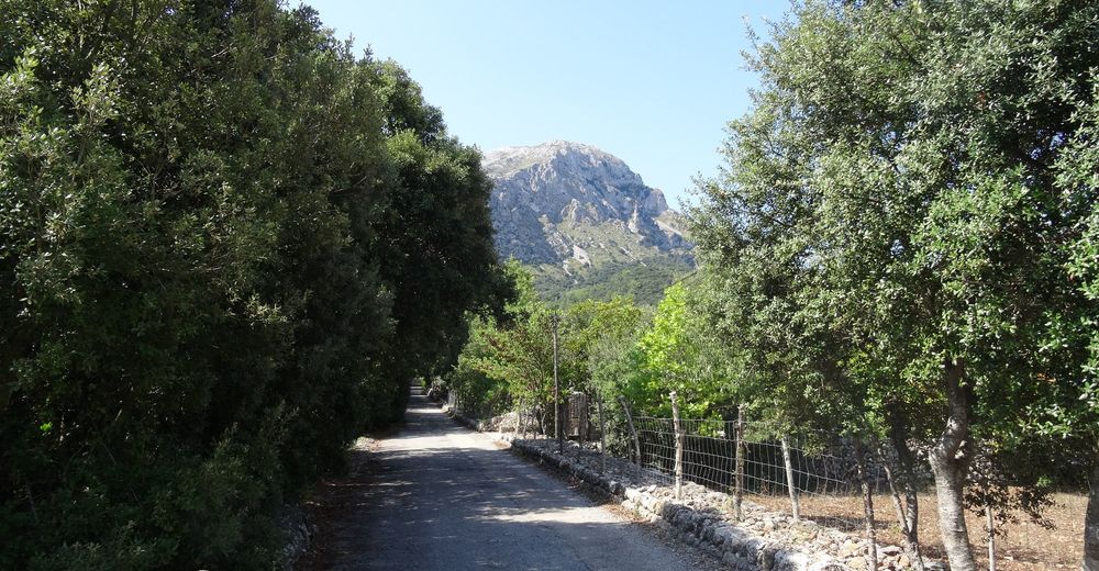
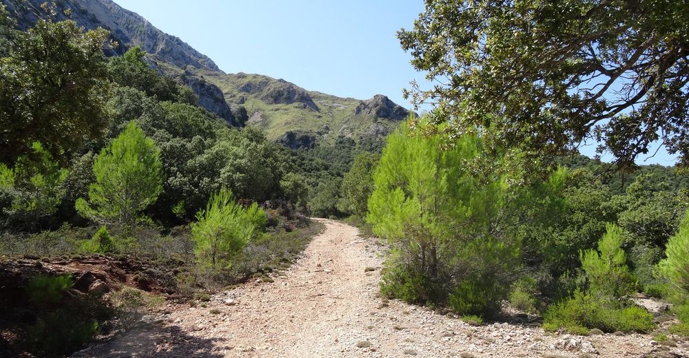
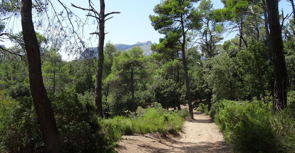
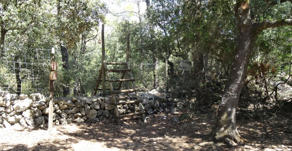
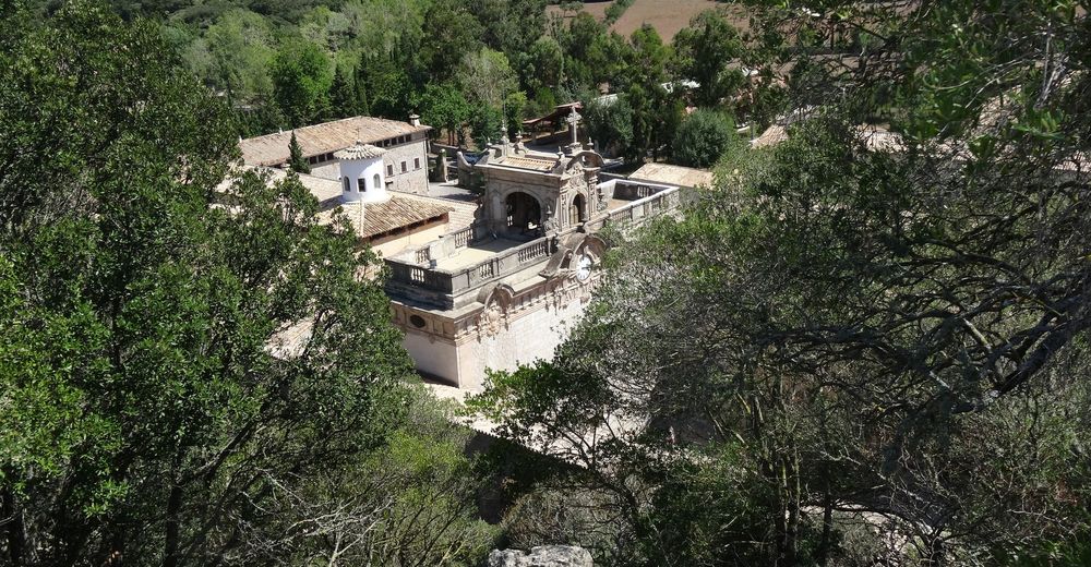
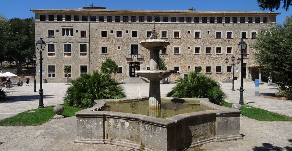
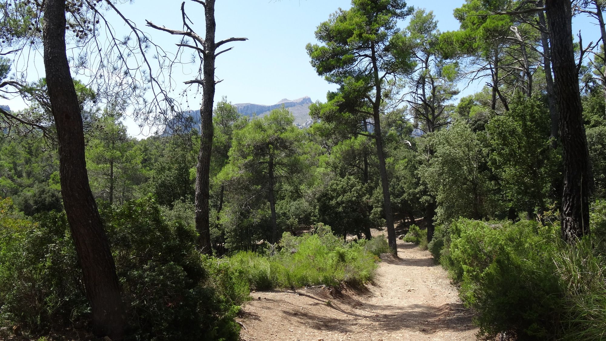
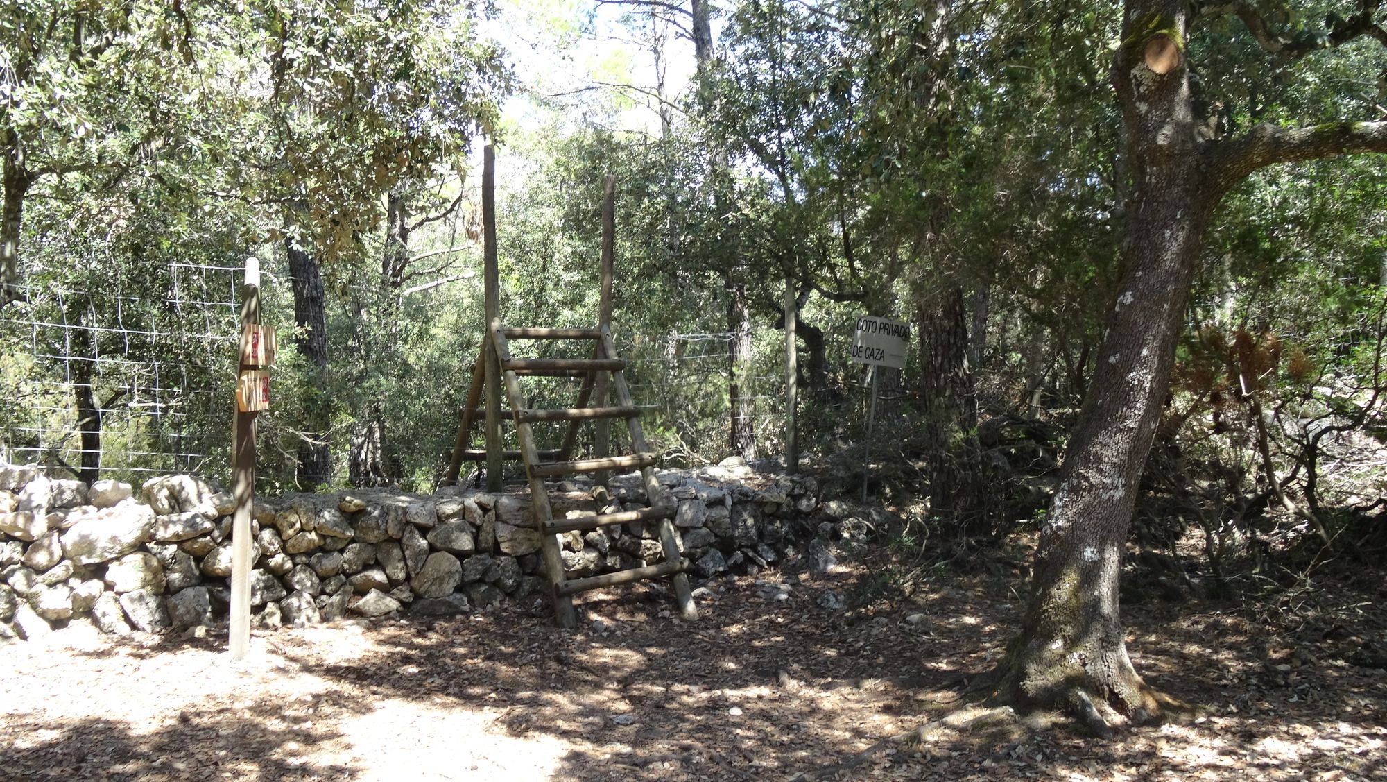
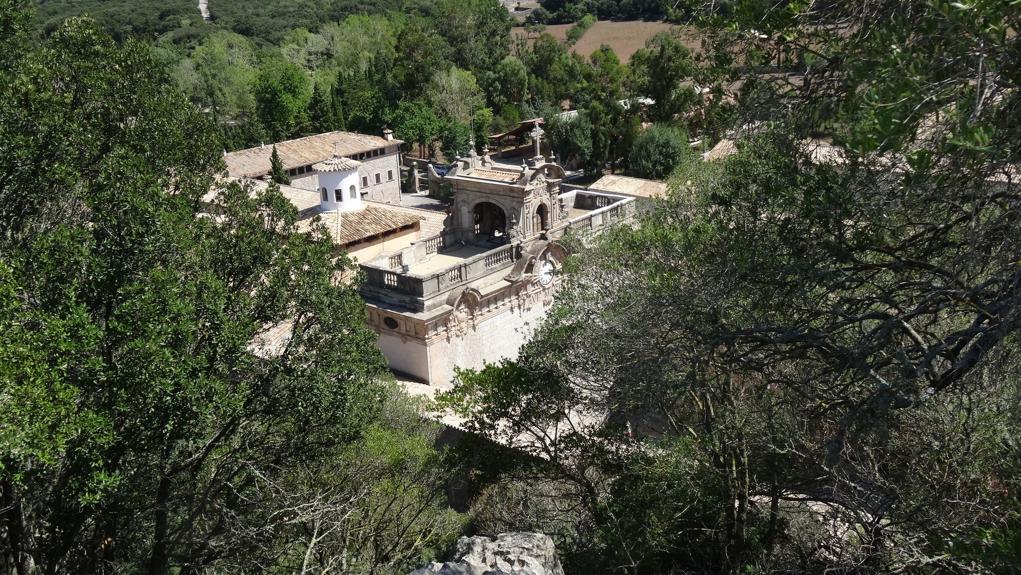
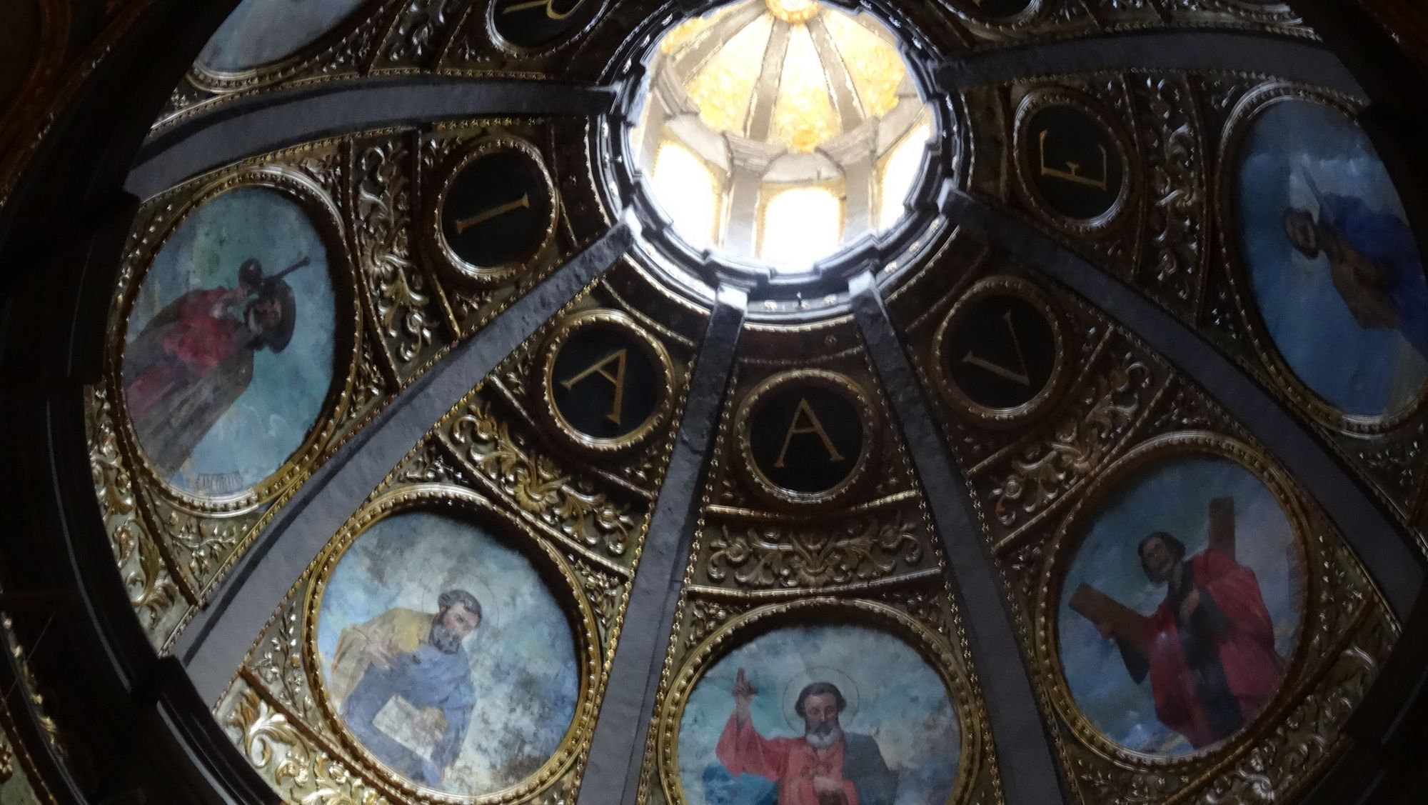
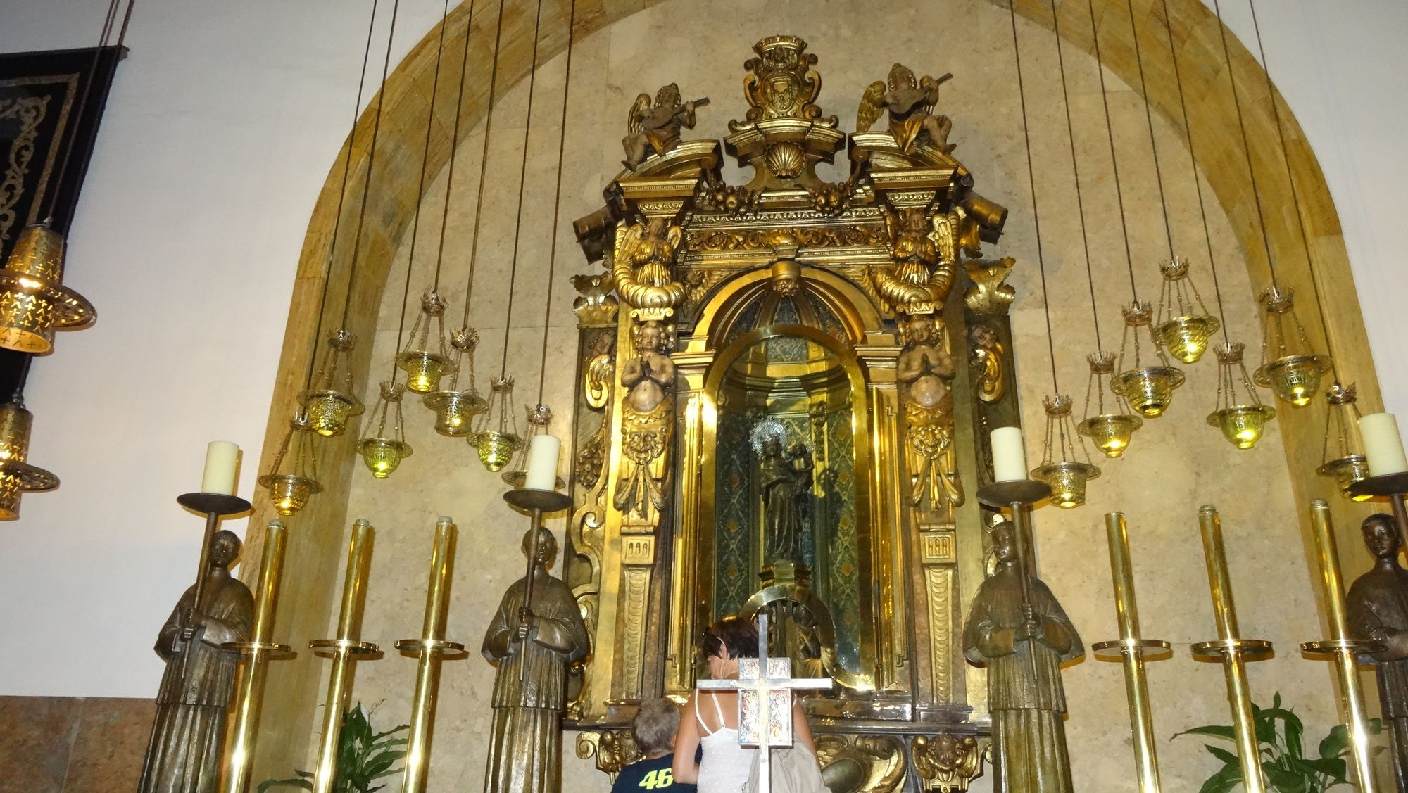
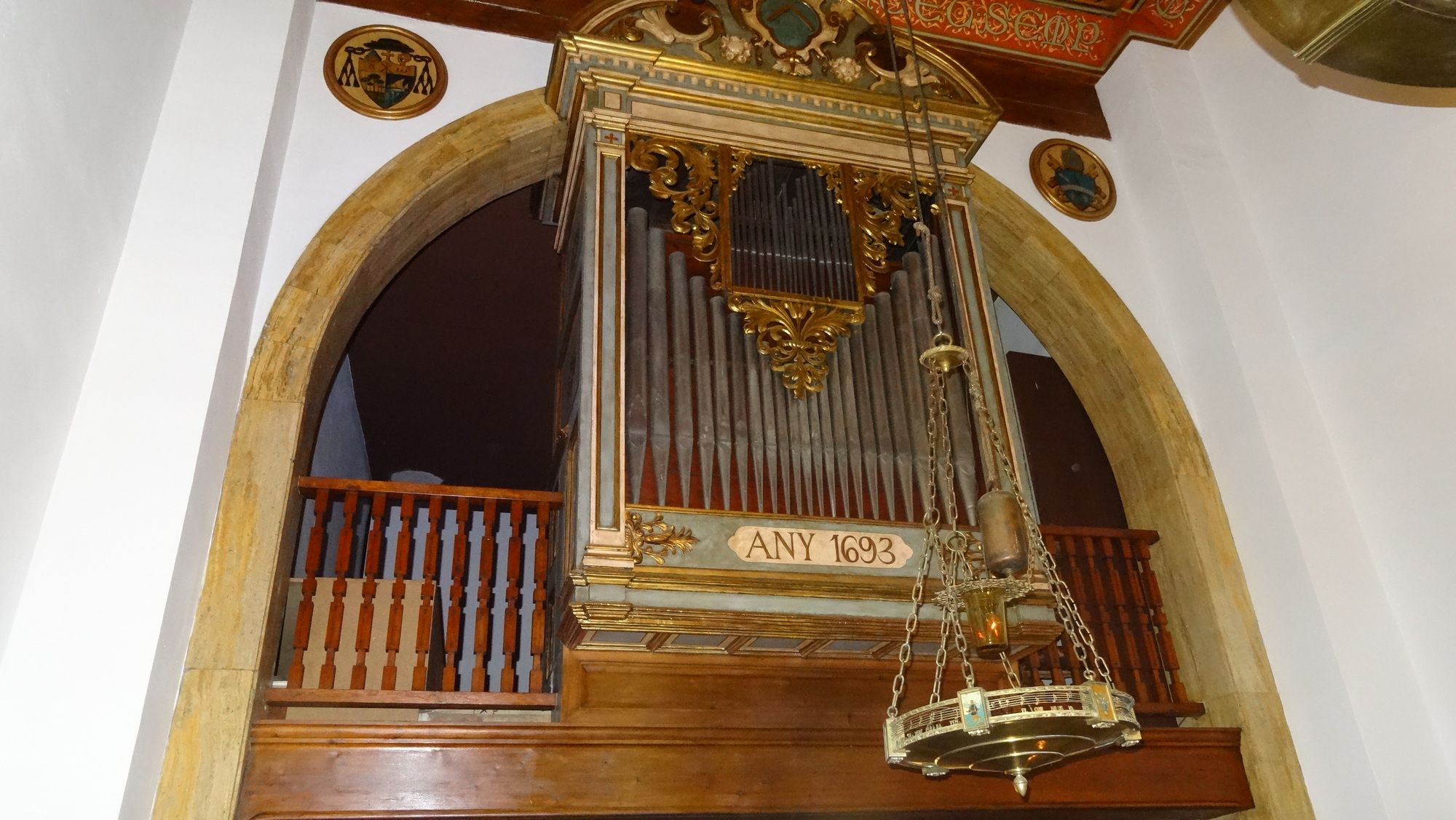
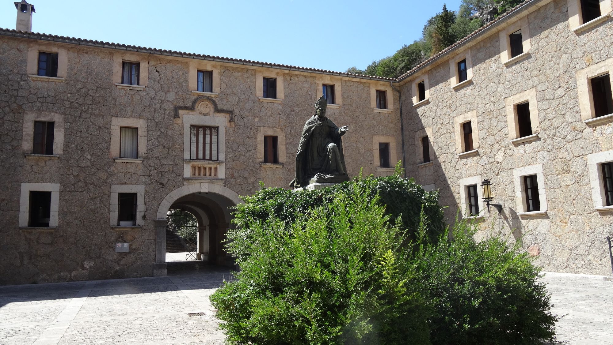
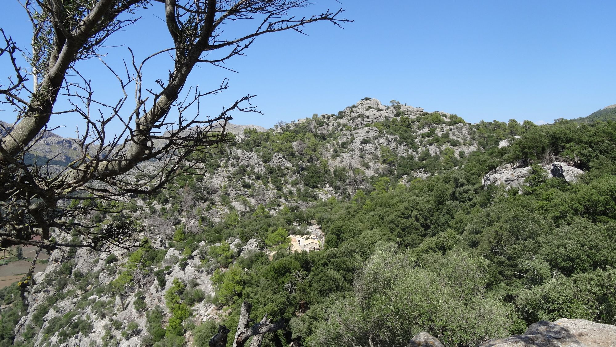
Tour über rumpelige aber nicht so steile Weg zum Kloster Lluc. Nach dessen Besichtigung Fahrt über Singletrail zum Felsentor und Rückfahrt auf Straße.
- Vaikeus
-
tapa
- Arviointi
-
- Lähtöpiste
-
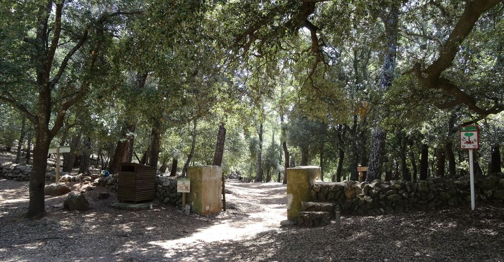
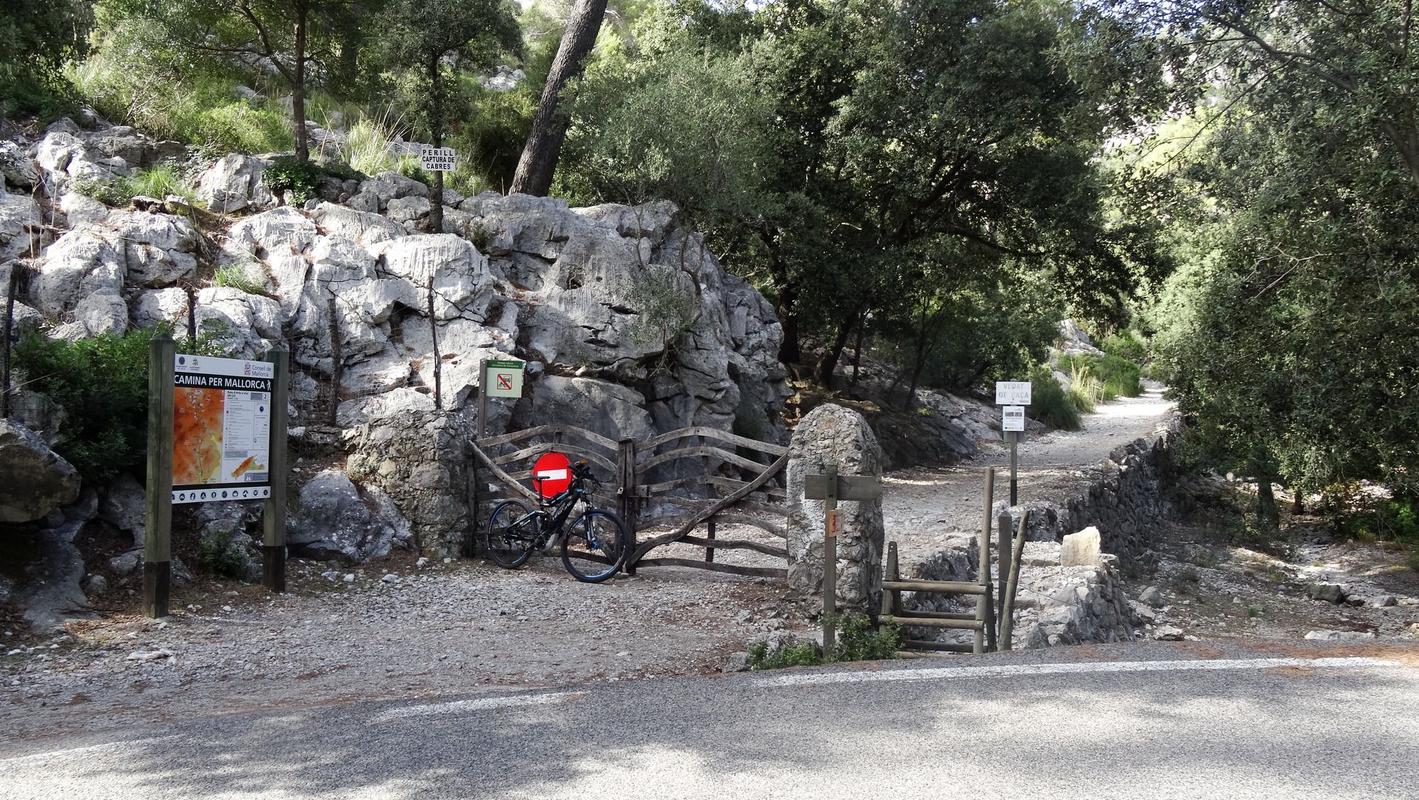
Parkplatz 3km westlich von Pollença
- Reitti
-
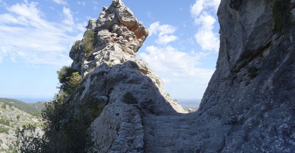
les Voltes3,7 kmfont de Muntanya7,1 kmFont dels Albellons9,5 kmBinifaldó9,6 kmColl des Pedregaret (658 m)10,2 kmColl de Bosc Gran (684 m)12,3 kmColl Pelat (686 m)12,6 kmColl de sa Font12,7 kmFont de s'Ermita13,3 kmCa s'Amitger15,7 kmLluc (480 m)15,7 kmsa Font Cuberta15,9 kmColl de sa Batalla17,3 kmfont del Guix17,7 kmes Guix18,0 kmMirador de sa Llangonissa18,7 kmsa Llengonissa19,3 kmAvenc des Cans20,1 kmla cometa Negra20,4 kmvoltes de Son Canta21,7 kmes Barracar21,9 kmsa Bretxa Nova23,4 kmmirador de la Pedra en sec23,9 kmvoltes des Guix24,5 kmfont del Guix25,4 kmColl de sa Batalla25,7 kmCa'n Gallet25,8 kmla Volta Grossa37,4 kmsalt de Pedruixella38,9 kmel Castellot39,3 km
- Paras kausi
-
tammihelmimaalishuhtitoukokesäheinäelosyyslokamarrasjoulu
- Korkein kohta
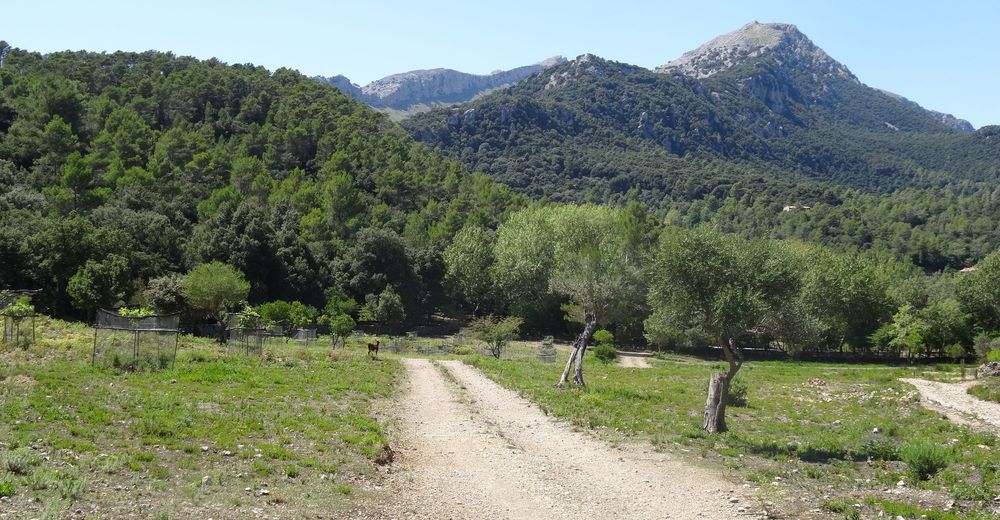
- Coll Pelát und Coll des Pedregaret (696 m)
- Kohde
-
Parkplatz 3km westlich von Pollença
- Lepo/Retriitti
-
Restaurant oder Caféhaus (Eis) im Kloster Lluc. Auch außerhalb beim Parkplatz ein Café.
- Kirjallisuus
-
Origingaltour "Son Marc - Kloster Lluc - Caimari - Son Marc" von Gilbert Schatzl (x-trail)
- Karttamateriaali
-
Alpina Excursionist Mallorca (Tramuntana sur/central/norte)


GPS Downloads


Ajoreitit
Asfaltti
Sora
(Auffahrt)
Metsä
Vuoripolut
Singletrails
Trial
(Felsentor)
Liikenne
(Rückfahrt)