
© Xxlstier
© Xxlstier

© Xxlstier

© Xxlstier
© Xxlstier
© Xxlstier
© Xxlstier
© Xxlstier

© Xxlstier

© Xxlstier
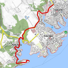
Retkitiedot
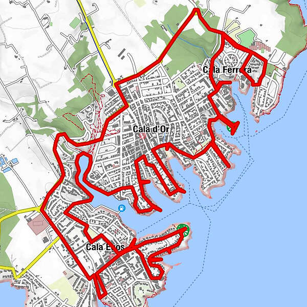
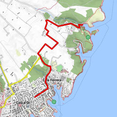
17,22km
-
-
02:00h
- Lyhyt kuvaus
-
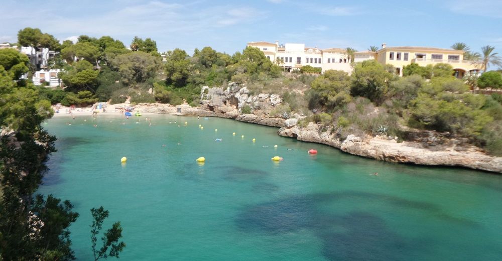
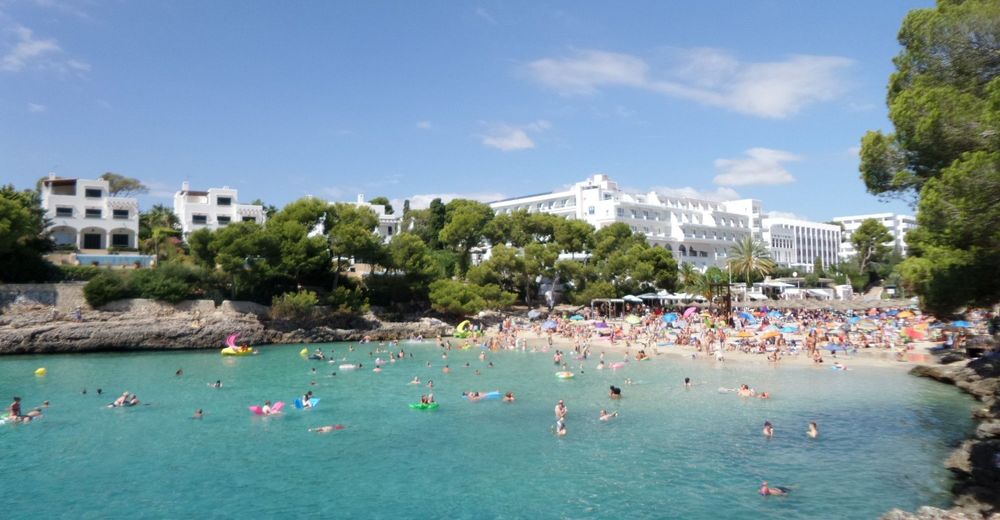
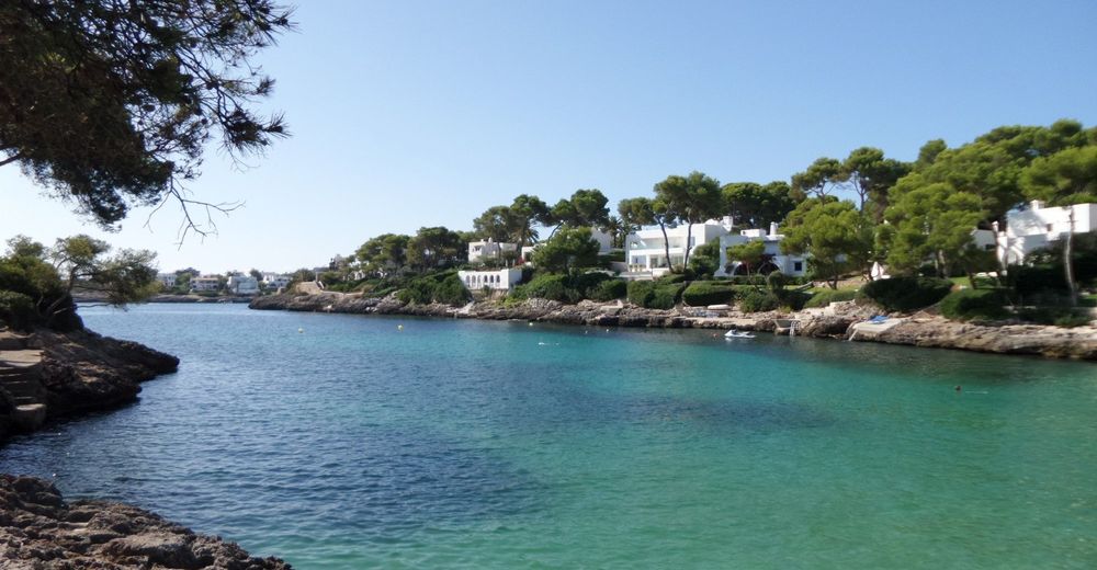
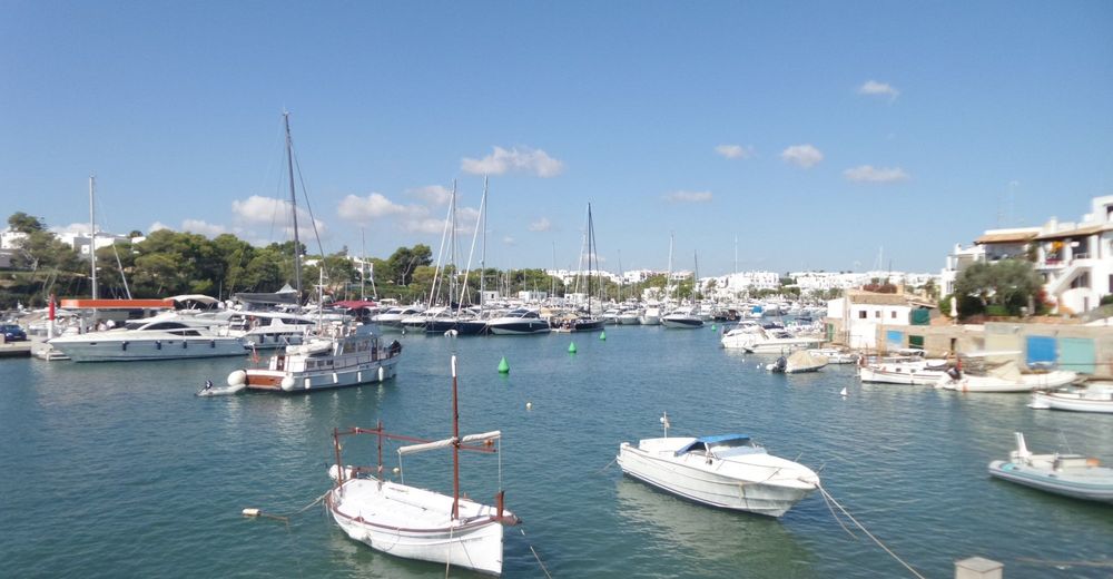
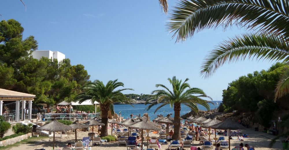
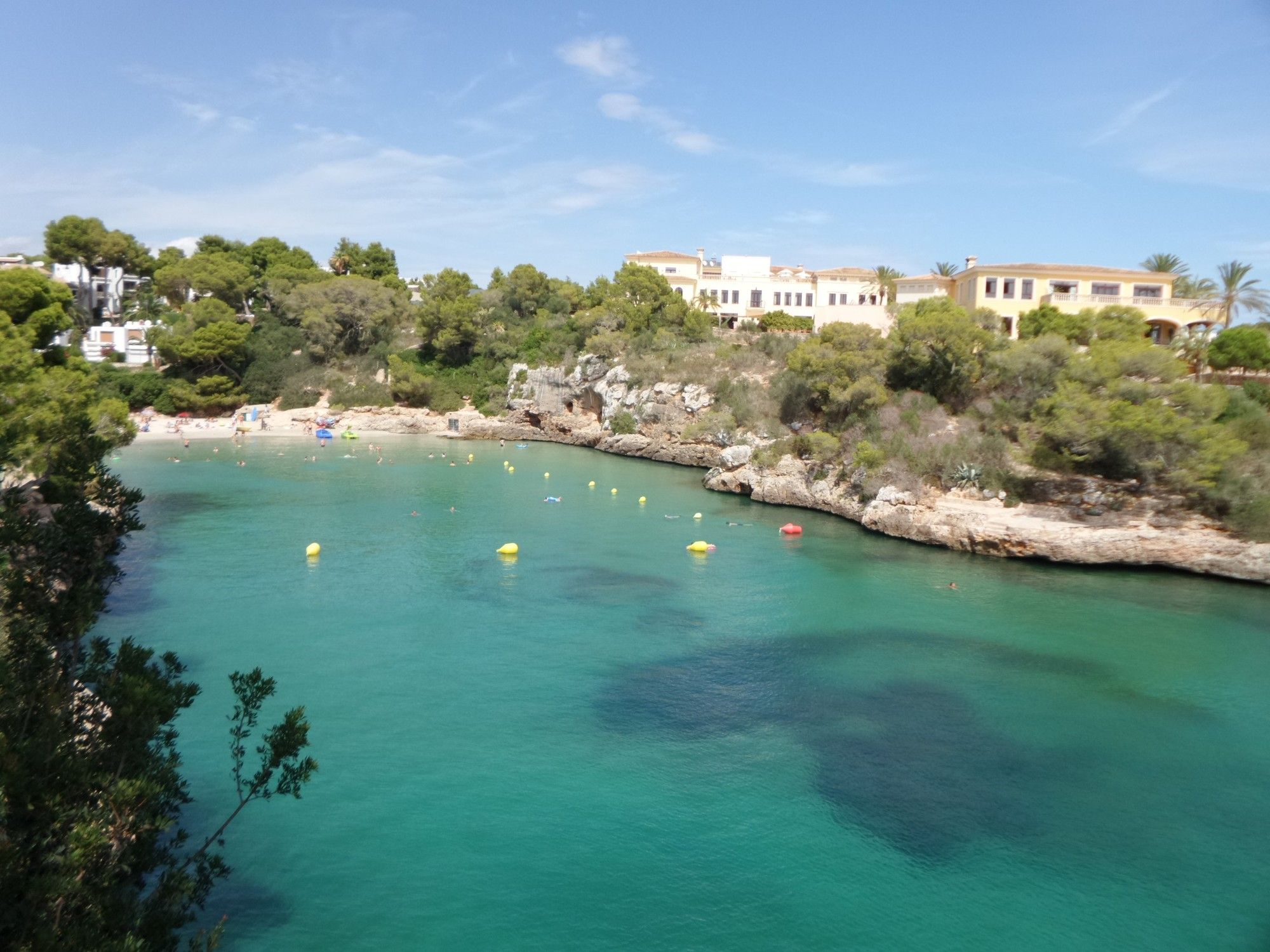
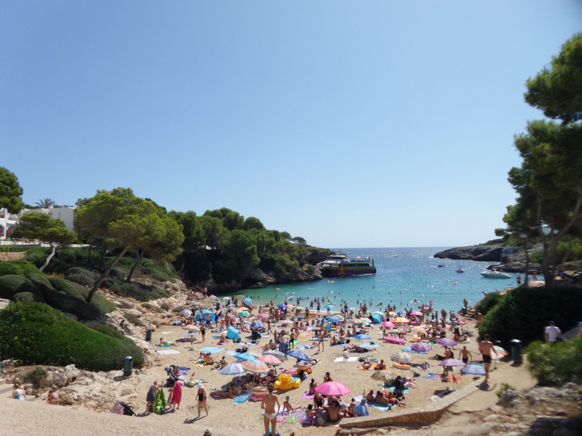
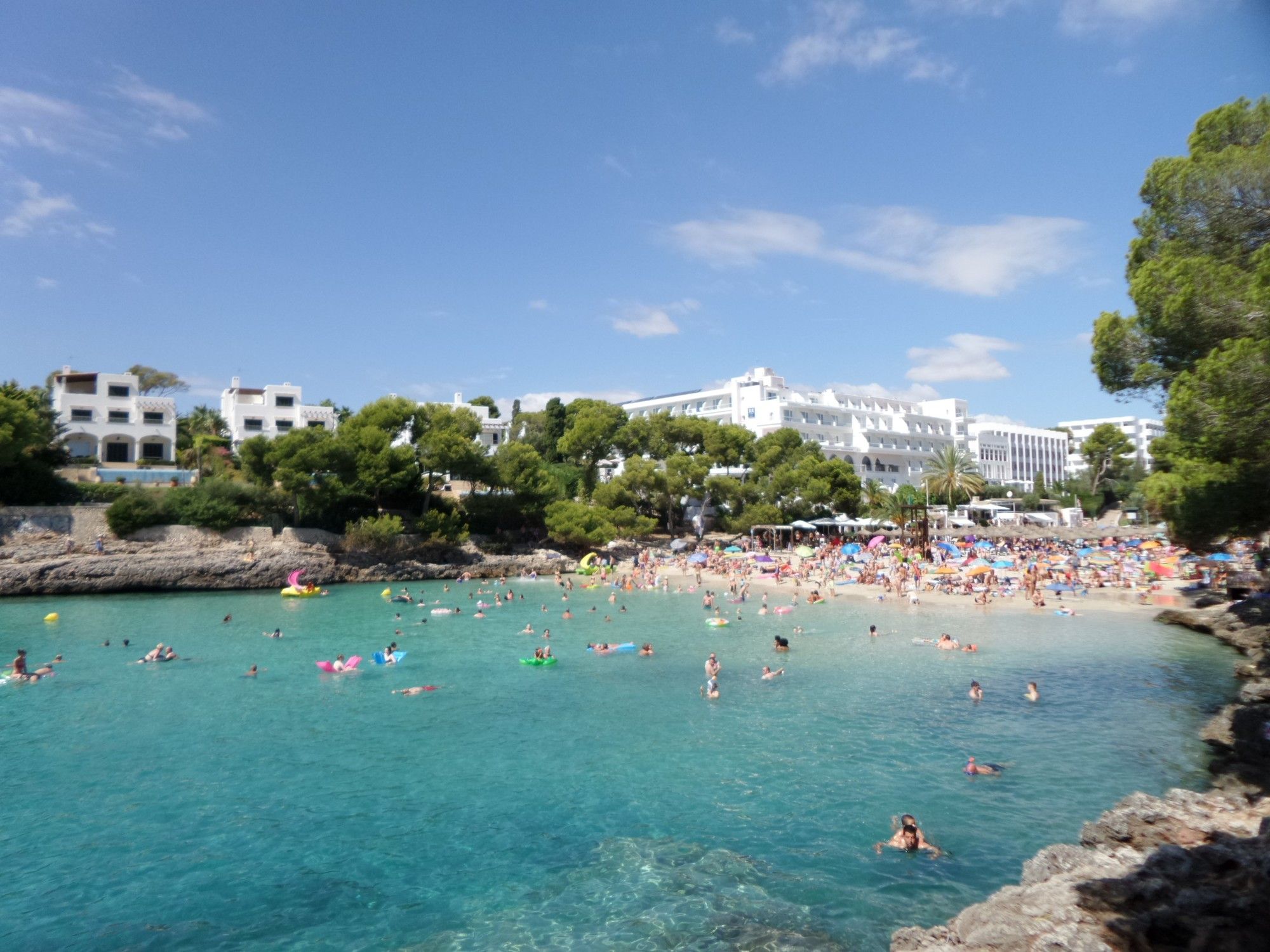
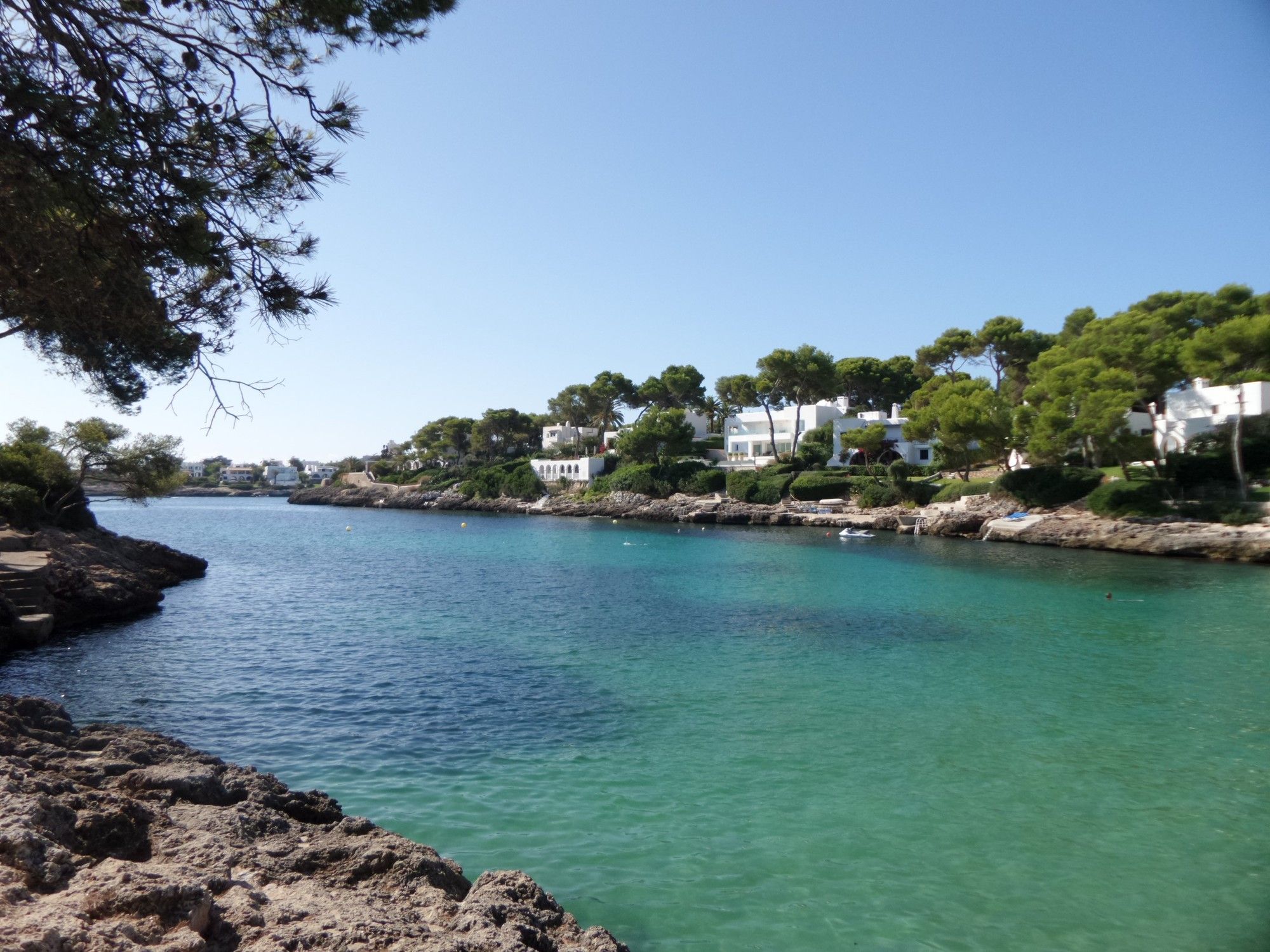
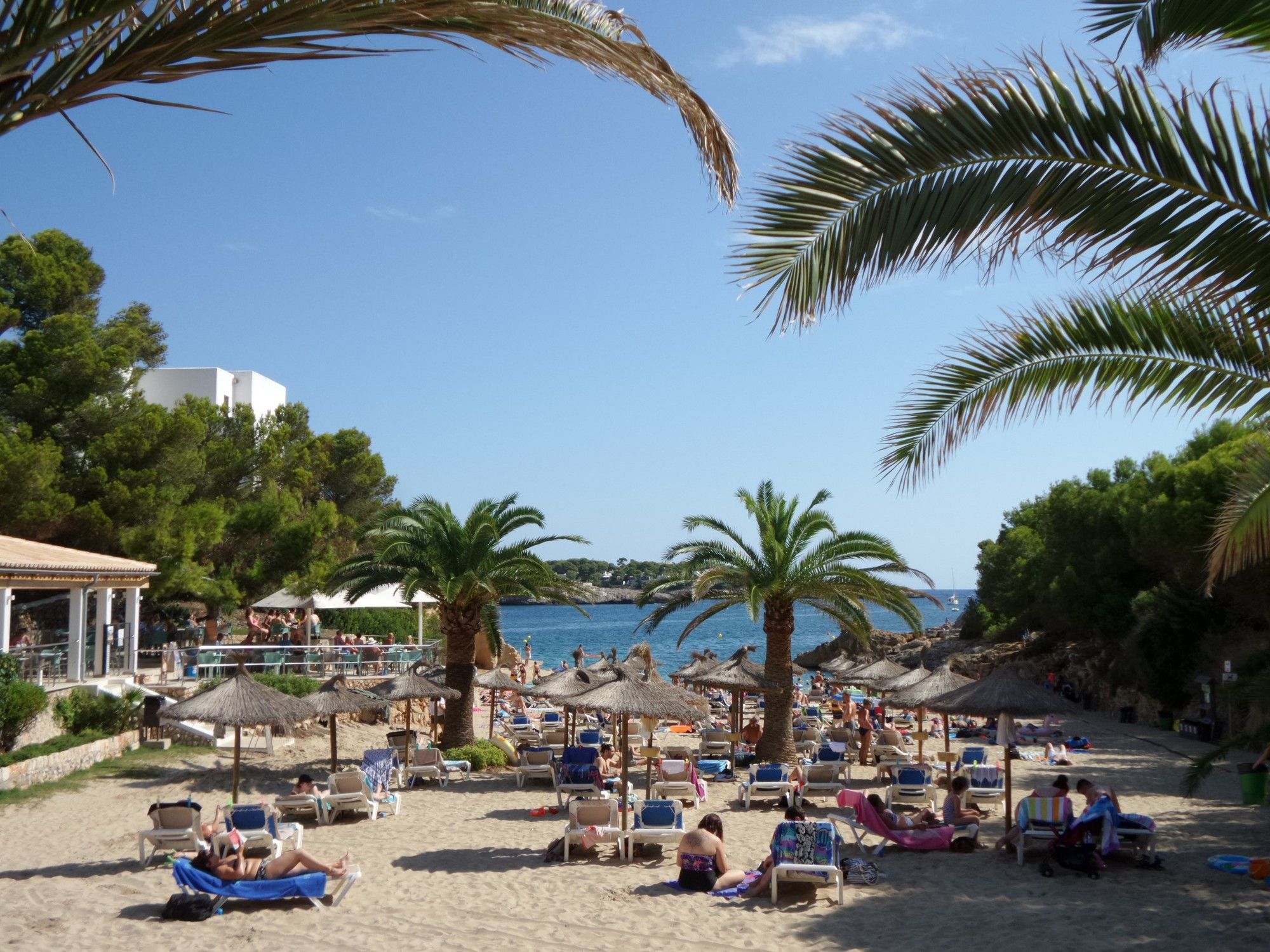
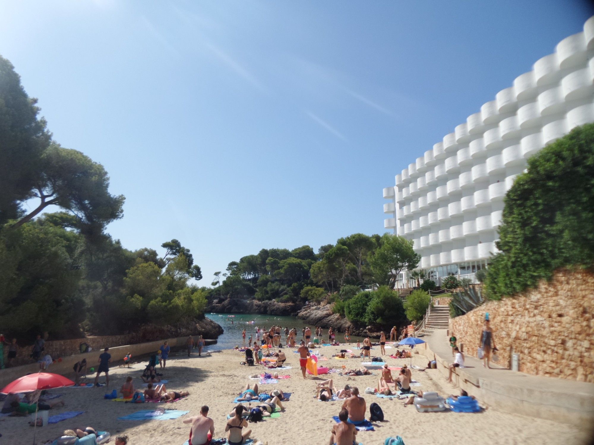
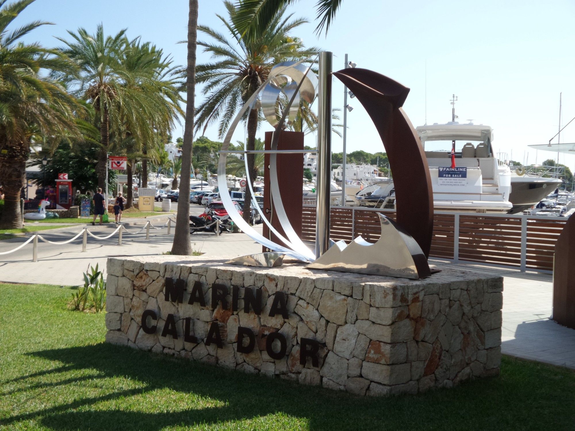
Cala d'Or (Buchten, Strände und Aussichtspunkte)
- Vaikeus
-
helppo
- Arviointi
-
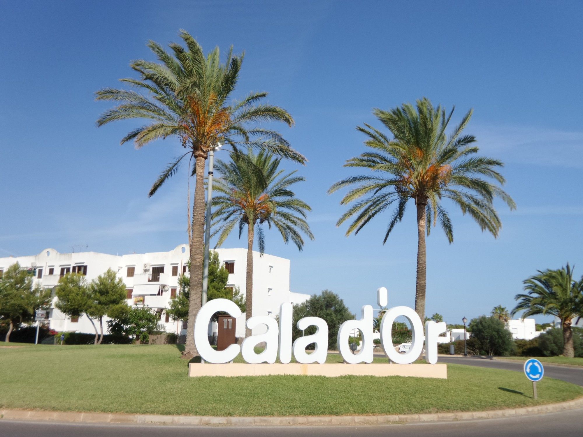
- Lähtöpiste
-
Cala d'Or (Ortsmitte)
- Reitti
-
Cala d'Or (18 m)0,2 kmCala Egos3,3 kmCala d'Or (18 m)10,8 kmCala Ferrera13,4 kmCala Serena (17 m)14,8 km
- Paras kausi
-
tammihelmimaalishuhtitoukokesäheinäelosyyslokamarrasjoulu
- Kohde
-
Buchten, Strände und Aussichtspunkte


- Lähde
- Xxlstier
GPS Downloads


Ajoreitit
Asfaltti
(100)
Sora
Metsä
Vuoripolut
Singletrails
Trial
Liikenne
(20)
")


 in Portopetro")