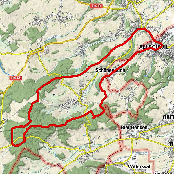
Retkitiedot
28,27km
277 - 530m
Distanz
428hm
429hm
Nousu
02:52h
 
Kesto
Lyhyt kuvaus

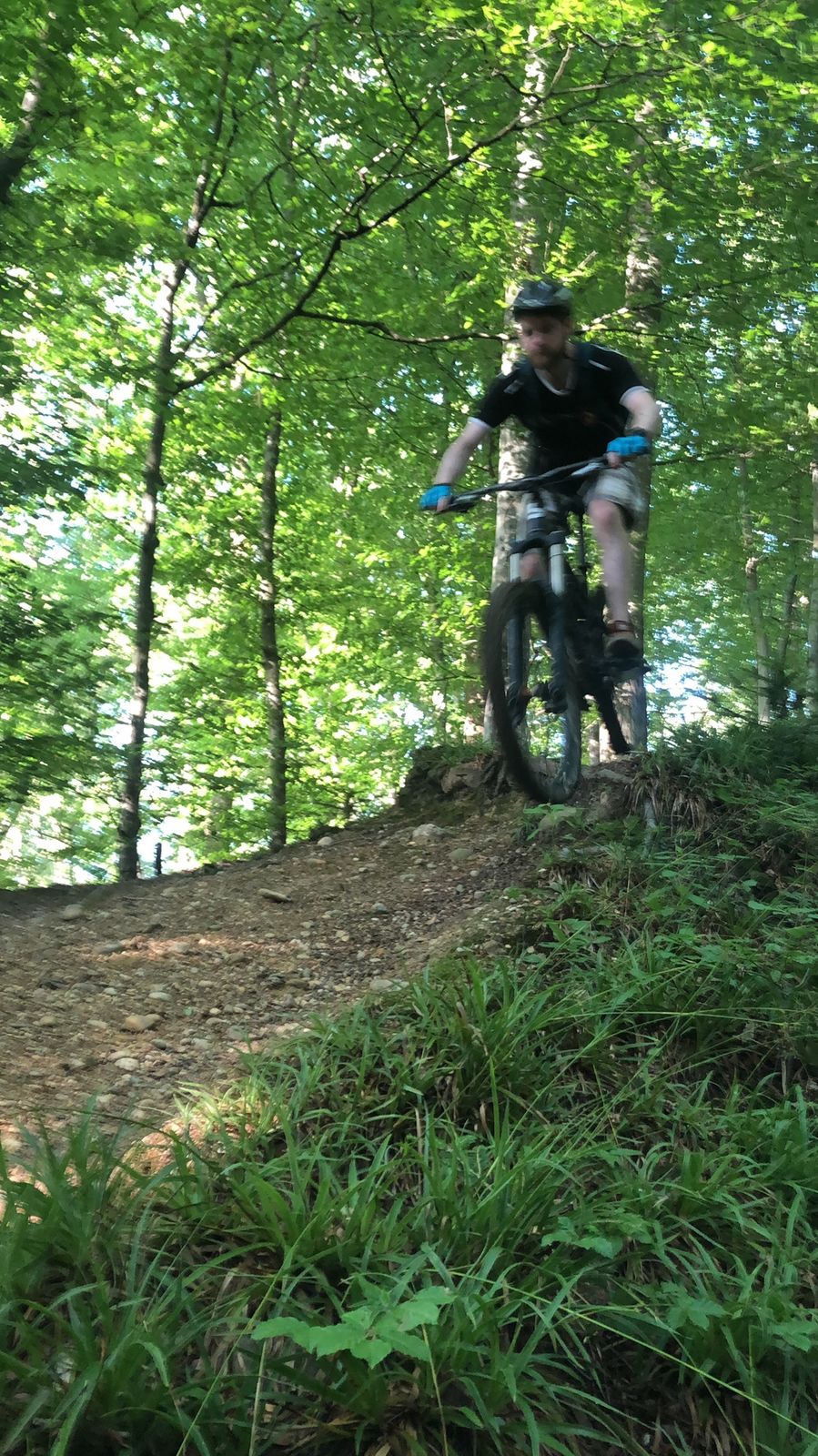
Allschwil, Vor Jura, Wochenende flammenkuchen

Vaikeus
tapa
Arviointi
Tekniikka
Kunto
Maisema
Elämys
Reitti
Basel (260 m)
Allschwil (287 m)
0,4 km
Christkatholische Pfarrkirche St. Peter und Paul
0,4 km
Lertzbachmuehle
1,8 km
Restaurant Bad
3,4 km
Restaurant Krone
3,4 km
Johannes der Täufer
3,5 km
Schönenbuch (355 m)
3,5 km
Chapelle Saint-Brice
13,7 km
Auberge Saint-Brice
13,7 km
Hautybach
20,9 km
Hermenboden
23,8 km
Aire de Jeux
26,0 km
Hegenheim
26,2 km
Basel (260 m)
27,9 km
Allschwil (287 m)
28,3 km

Korkein kohta
530 m

Yleinen luokitus

5

0

%

4

0

%

3

0

%

2

0

%

1

0

%

Virhe
On tapahtunut virhe. Yritä uudelleen.
Kiitos arvostelusta

Luokitus poistettiin

GPS Downloads
  • GPX GPS Exchange Format (XML)
  • KML Google Earth, Google Maps
QR-latauskoodit matkapuhelimiin
Lisää retkiä alueilla

Suosittuja retkiä alueella

Roc de Courroux

tapa Mountainbike
24,66km | 902hm | 03:35h

Gempenplateau-Tour

tapa Mountainbike
40,54km | 787hm | 04:20h

Schauenburger-Tour

tapa Mountainbike
22,1km | 528hm | 02:30h

Beizenrunde

vaikea Mountainbike
16,87km | 660hm | 02:15h