© Tourismusverband Pfaffenwinkel - Gemeinde Epfach

- Lyhyt kuvaus
-
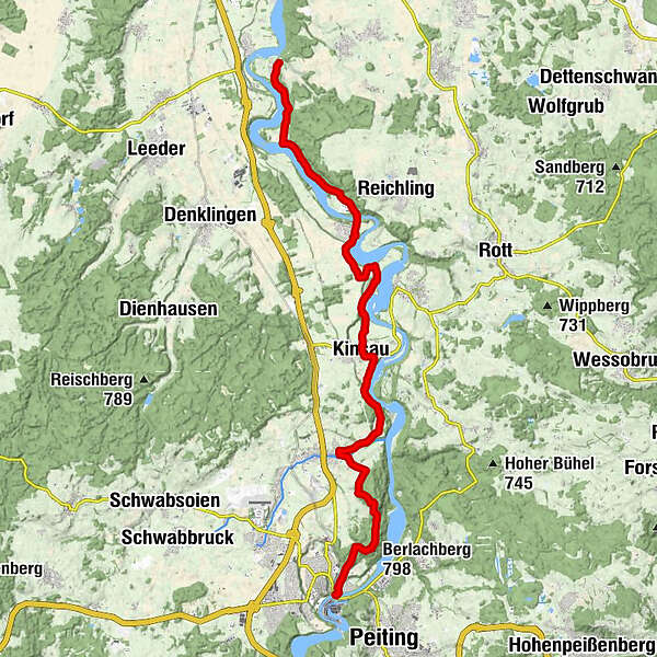
Auf einer ansteigenden Straße verlässt man das Dorf, gelangt zu den Häusern von Forchau und spaziert an einem naturbelassenen Altarm des Lechs entlang, den die unterschiedlichsten Wasservögel bevölkern. Der nächste Ort ist Kinsau.
- Vaikeus
-
tapa
- Arviointi
-
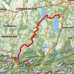
- Reitti
-
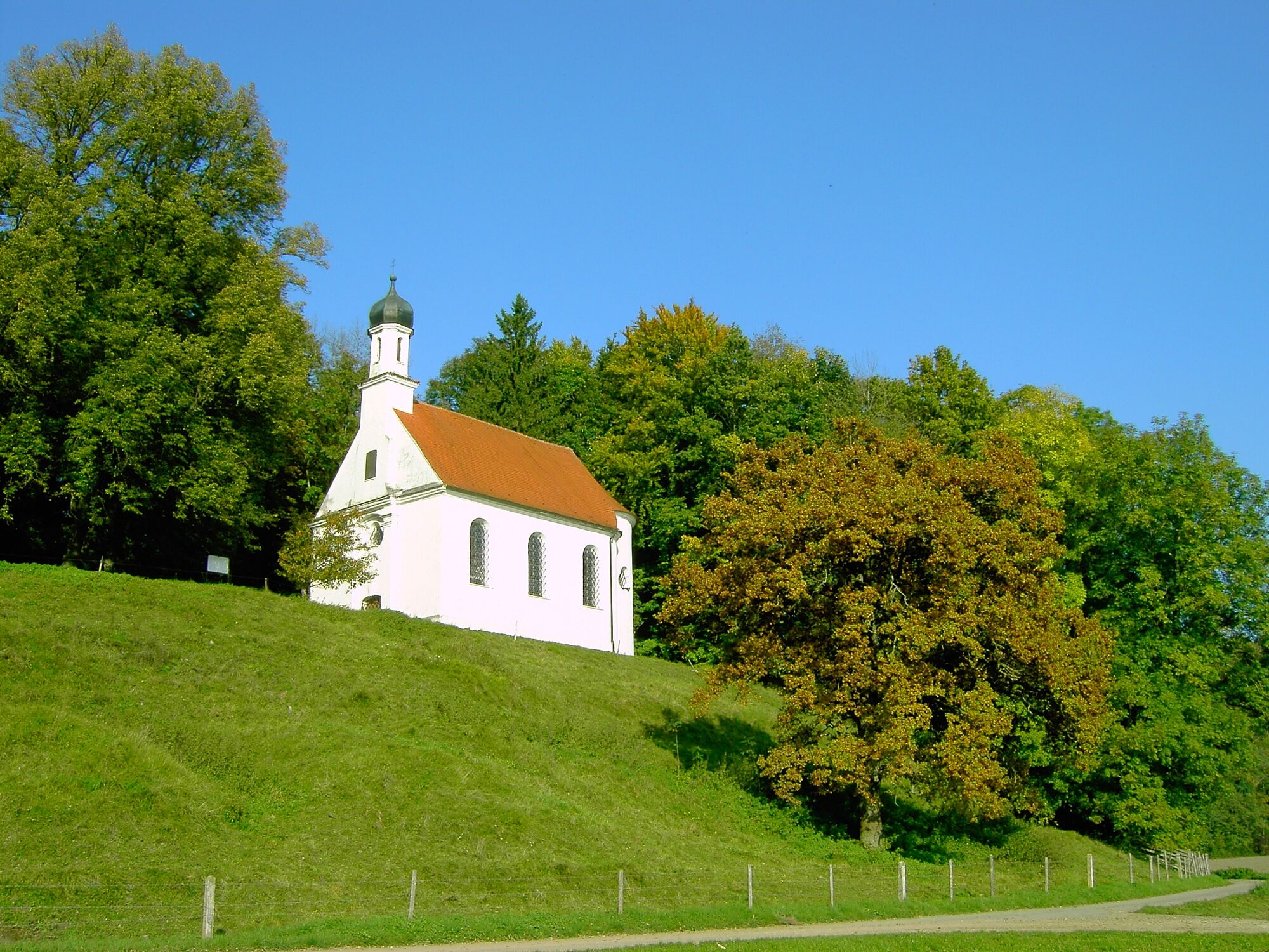
Mundraching0,2 kmHirschau-Kapelle "Mutter Gottes"6,0 kmSt. Bartholomäus6,8 kmGasthaus zur Sonne7,0 kmEpfach (650 m)7,0 kmSägmühle11,6 kmPfarrkirche St. Matthäus12,1 kmKinsau (664 m)12,3 kmHohenfurch (699 m)16,9 kmPfarrkirche Hohenfurch17,1 kmSt. Ursula17,5 kmBerlachberg (798 m)21,2 kmSchongau23,1 km
- Paras kausi
-
tammihelmimaalishuhtitoukokesäheinäelosyyslokamarrasjoulu
- Korkein kohta
- 785 m
- Kohde
-
Schongau
- Korkeusprofiili
-
 © outdooractive.com
-

-
KirjoittajaKiertue LechErlebnisWeg, 2. Etappe: Lechmühlen - Schongau käyttää outdooractive.com toimitettu.
GPS Downloads


Yleistä tietoa
Lupaava
Lisää retkiä alueilla
-
Pfaffenwinkel
775
-
Hohenfurch
78