Retkitiedot
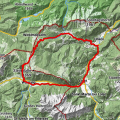
9,68km
471
- 1.261m
745hm
23hm
01:45h
- Vaikeus
-
tapa
- Arviointi
-
- Lähtöpiste
-
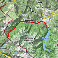
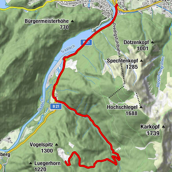
Wegezentrum 5: Kirchberger Bahnhof/Lattengebirge; Anton-Winkler-Straße nähe Nikolaikirche
- Reitti
-
Bad Reichenhall (473 m)
- Paras kausi
-
tammihelmimaalishuhtitoukokesäheinäelosyyslokamarrasjoulu
- Korkein kohta
- 1.261 m

GPS Downloads

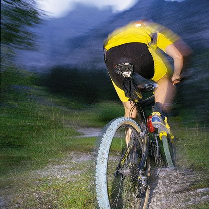
Ajoreitit
Asfaltti
(10%)
Sora
(80%)
Metsä
Vuoripolut
Singletrails
Trial
Liikenne
(10%)
Lisää retkiä alueilla
-
Berchtesgadener Land
259
-
Bad Reichenhall
114