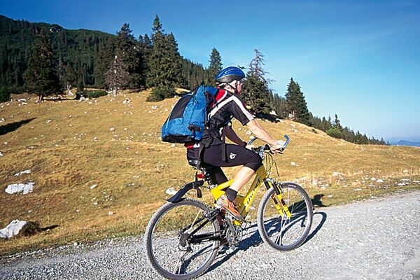
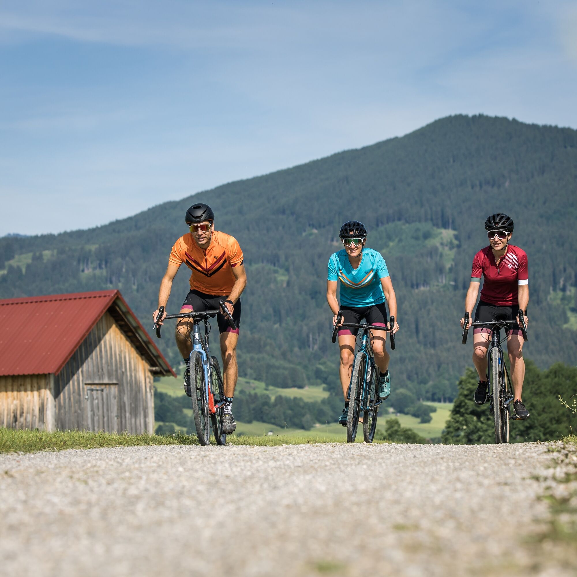
© Ammergauer Alpen GmbH - Hansi Heckmair

© Ammergauer Alpen GmbH - Hansi Heckmair

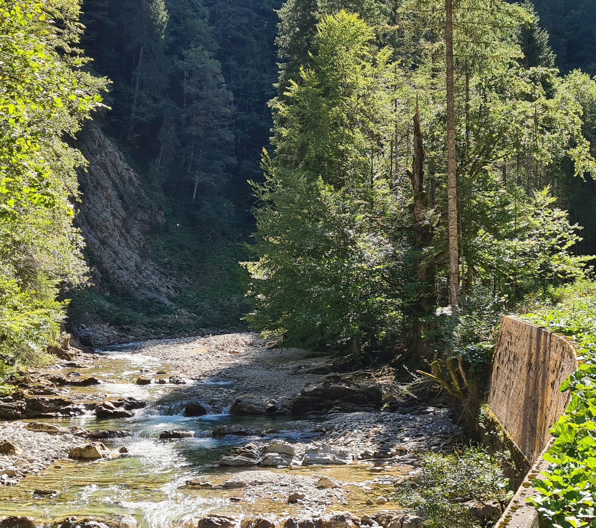
© Ammergauer Alpen GmbH - Florian Leischer

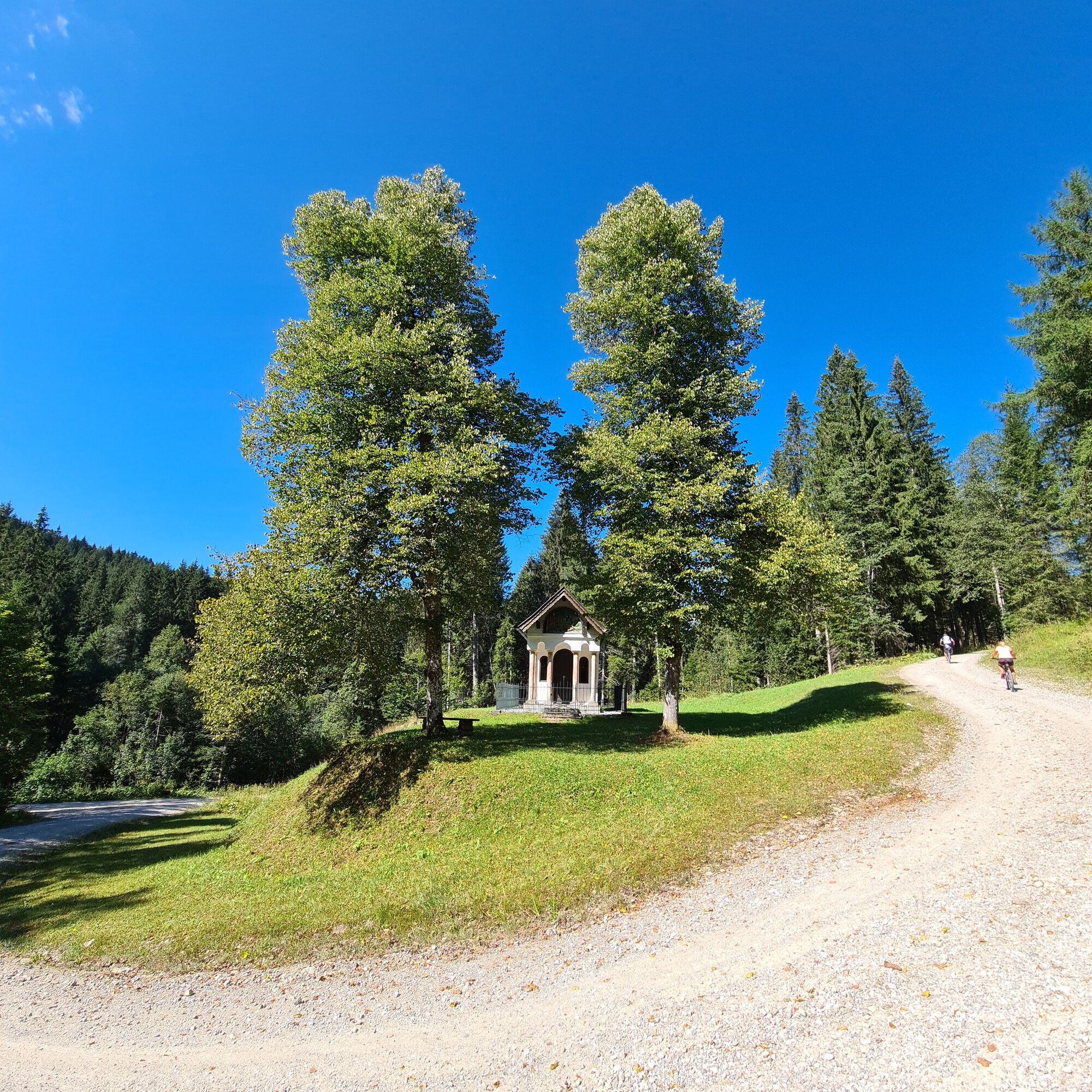
© Ammergauer Alpen GmbH - Florian Leischer


- Lyhyt kuvaus
-
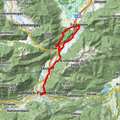
Altenau - Unternogg - Halbammer Valley - Halblech Valley - Halblech - Trauchgau - Königstraße - Unternogg - Altenau
- Vaikeus
-
tapa
- Arviointi
-
- Reitti
-
Altenau (837 m)0,0 kmAlte Mühle0,6 kmMayersäge (822 m)1,2 kmBeim Ochsenkopf17,4 kmHalblech26,0 kmTrauchgau (792 m)27,4 kmUnterreithen30,7 kmSt. Michael30,7 kmMarienkapelle31,2 kmOberreithen31,2 kmSchober31,9 kmMayersäge (822 m)43,5 kmAlte Mühle44,1 kmAltenau (837 m)44,8 km
- Paras kausi
-
tammihelmimaalishuhtitoukokesäheinäelosyyslokamarrasjoulu
- Korkein kohta
- 1.176 m
- Kohde
-
village pond, Altenau
- Korkeusprofiili
-
 © outdooractive.com

-

-
KirjoittajaKiertue Mountain bike tour – around the Trauchberg käyttää outdooractive.com toimitettu.
GPS Downloads


Yleistä tietoa
Virvokepysäkki
Lupaava
Lisää retkiä alueilla