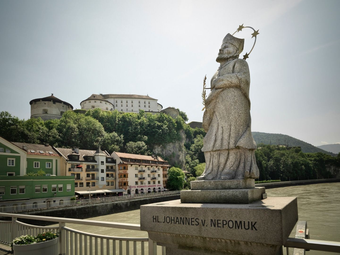
© TVB Kufsteinerland - Lolin

- Lyhyt kuvaus
-
Beginning with the european culture the believers began to go on pilgrimages. Every year thousands of pilgrims start off to walk a passage of the Way of St. James (Jakobsweg), to pilgrim, to reflect and regain energy.
- Arviointi
-
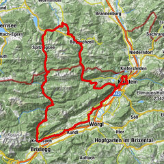
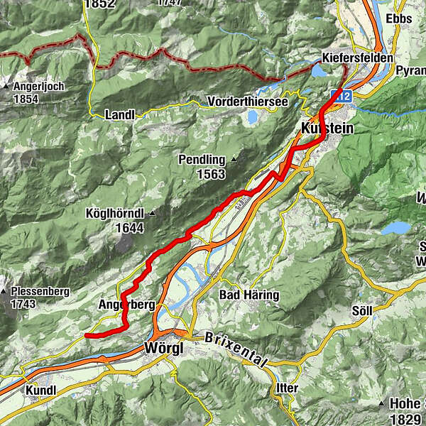
- Reitti
-
Kufstein2,4 kmSchaftenau (510 m)8,5 kmUnterlangkampfen (502 m)9,7 kmNiederbreitenbach (519 m)12,2 kmNotburgakapelle12,2 kmBrand13,9 kmGasthof Kammerhof14,5 kmMariastein14,6 kmWallfahrtskirche Mariastein14,6 kmMariasteinerhof14,7 kmEdwald16,7 kmLinden17,6 kmSchulhauskapelle17,6 kmAngerberg17,7 kmGlatzham (644 m)20,7 km
- Paras kausi
-
tammihelmimaalishuhtitoukokesäheinäelosyyslokamarrasjoulu
- Korkein kohta
- 682 m
- Kohde
-
Wörgl/ Glatzham
- Korkeusprofiili
-
 © outdooractive.com
- Kirjoittaja
-
Kiertue Jakobsweg Tyrol käyttää outdooractive.com toimitettu.
GPS Downloads


Lisää retkiä alueilla
-
Region Hohe Salve
1789
-
Langkampfen
486