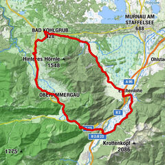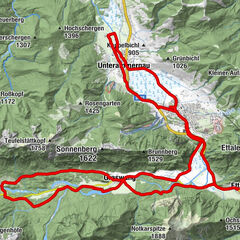

Retkitiedot
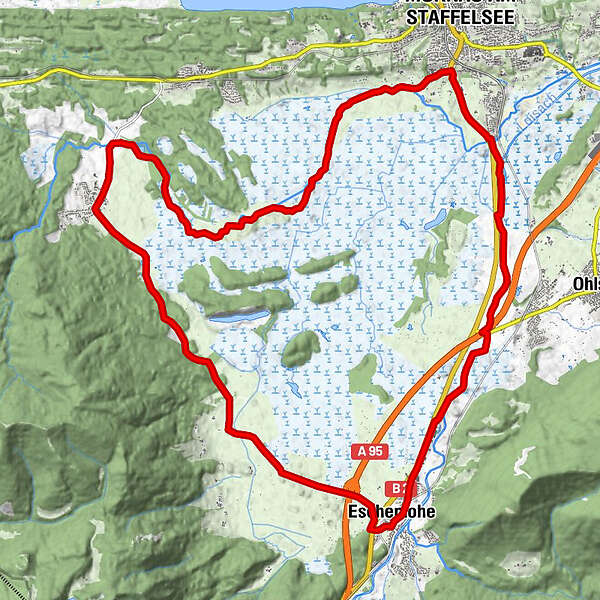
27,43km
621
- 675m
93hm
02:30h
- Lyhyt kuvaus
-
Rundtour
- Vaikeus
-
helppo
- Arviointi
-
- Lähtöpiste
-
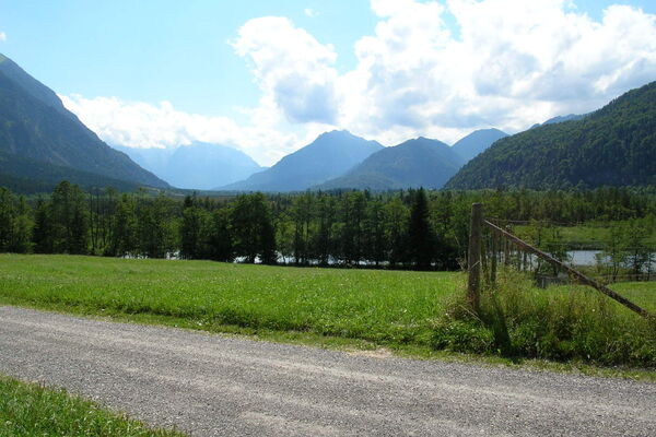
Eschenlohe
- Reitti
-
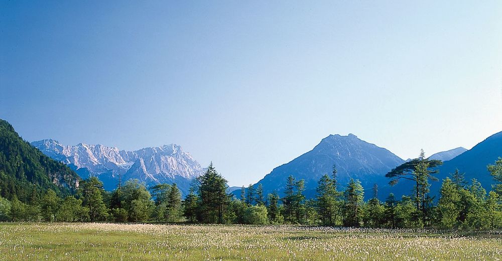
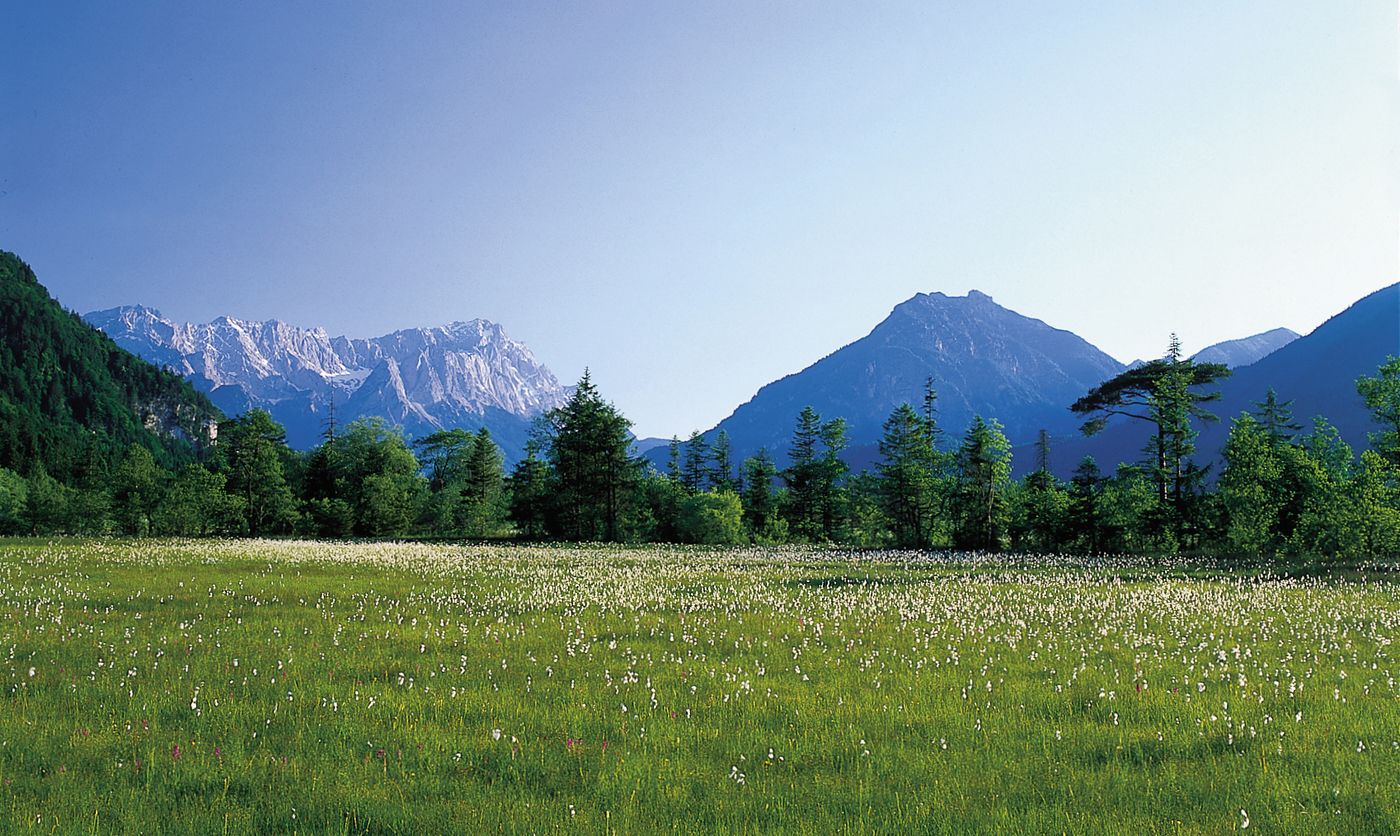
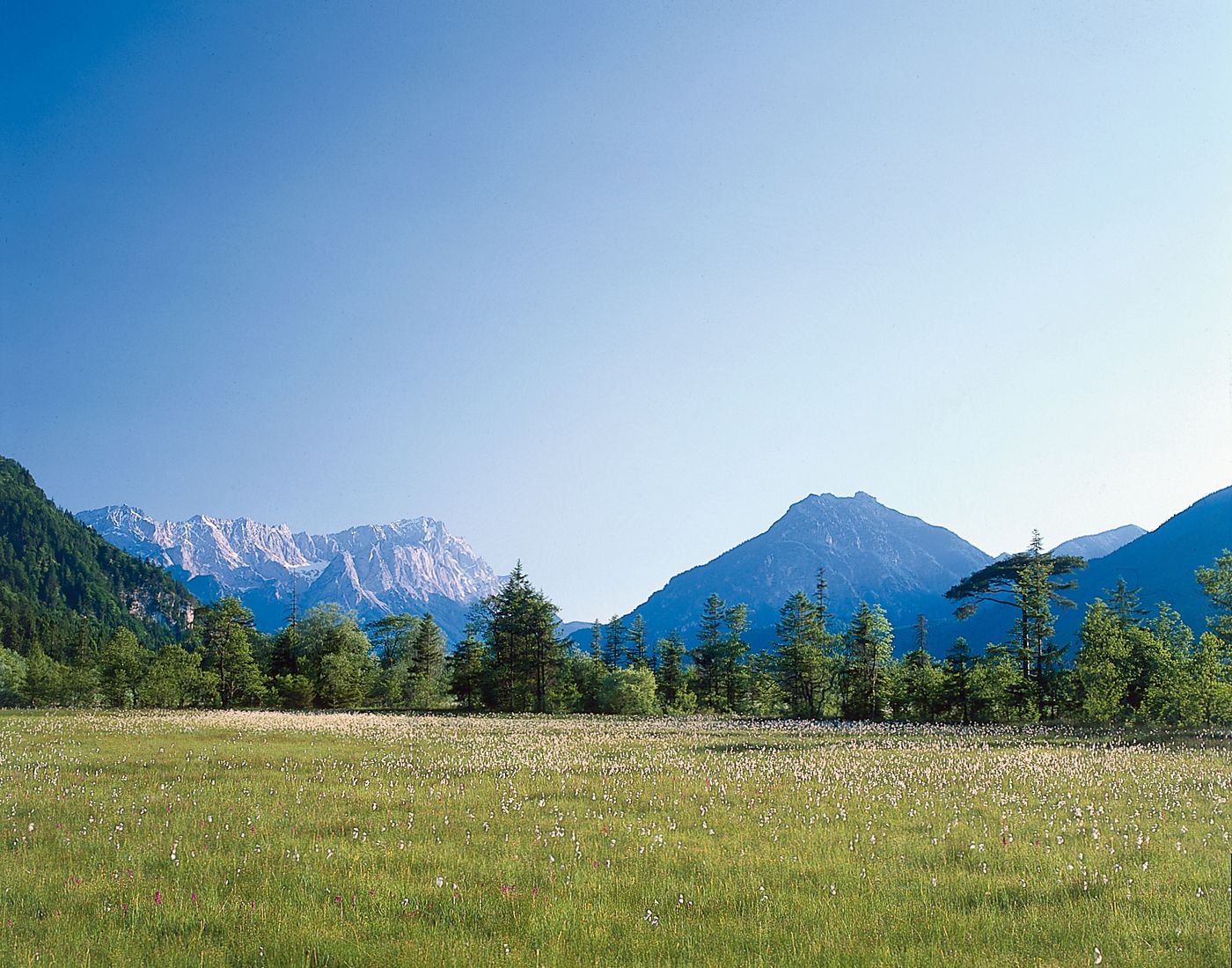
Eschenlohe (636 m)Schwaigen (656 m)3,5 kmGrafenaschau (656 m)8,3 kmSt. Wolfgang8,7 kmCafe Habersetzer8,8 kmRamsach17,1 kms`Ähndl St. Georg17,2 kmMurnau am Staffelsee (688 m)18,3 kmHechendorf19,2 kmKleinaschau24,2 kmEschenlohe (636 m)27,3 km
- Paras kausi
-
tammihelmimaalishuhtitoukokesäheinäelosyyslokamarrasjoulu
- Korkein kohta
- 675 m
GPS Downloads


Ajoreitit
Asfaltti
Sora
Metsä
Vuoripolut
Singletrails
Trial
Liikenne
Lisää retkiä alueilla
-
Das Blaue Land
84
-
Eschenlohe
29