© Landkreis Lindau (Bodensee) - Frederick Sams
© Allgäu GmbH, Gesellschaft für Standort und Tourismus - Timon Oberheide
© Allgäu GmbH, Gesellschaft für Standort und Tourismus - Timon Oberheide
© Allgäu GmbH, Gesellschaft für Standort und Tourismus - Timon Oberheide

")
- Lyhyt kuvaus
-
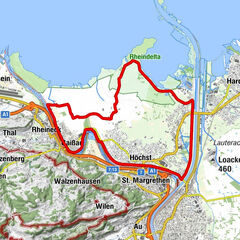
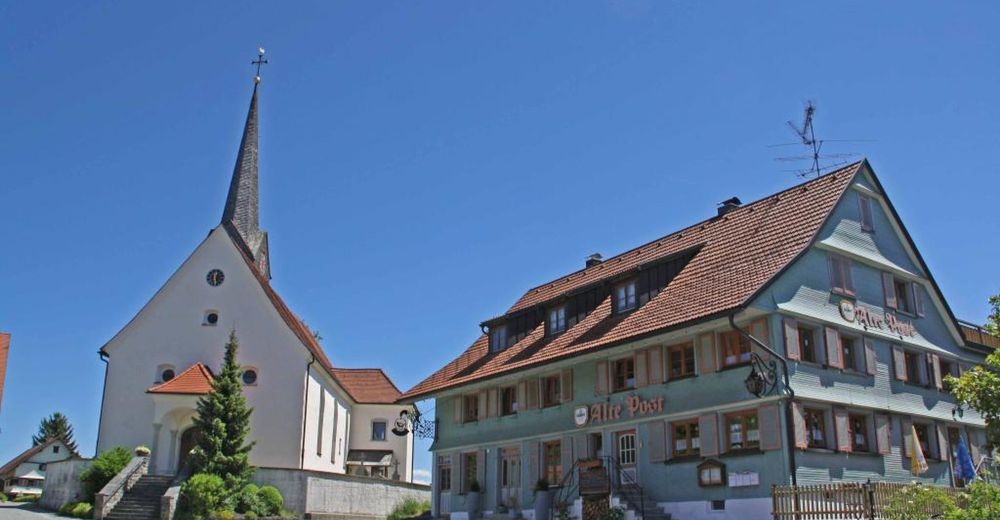
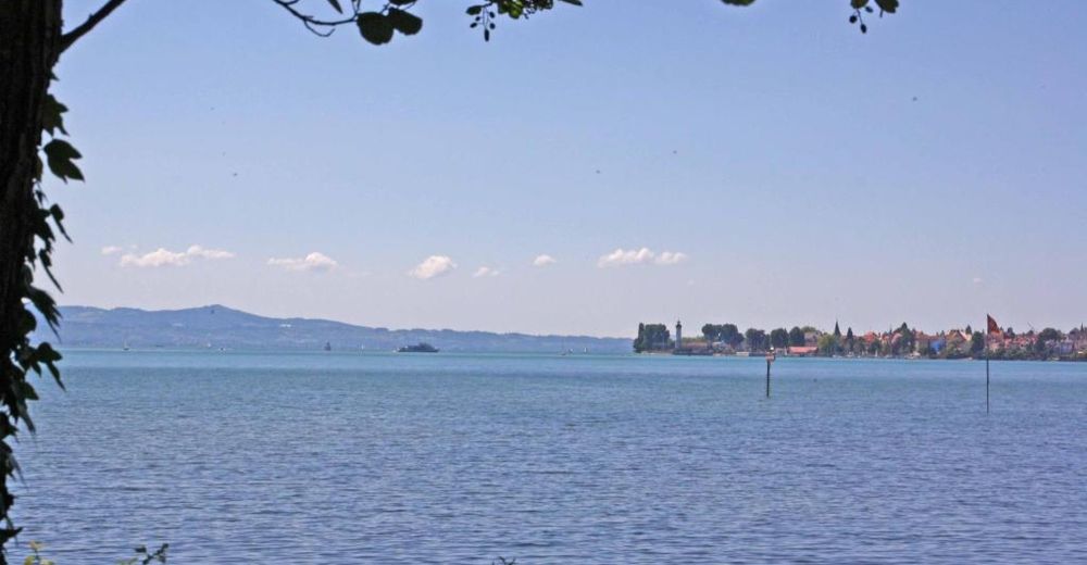
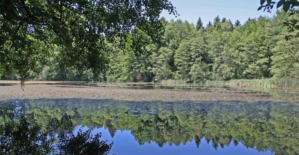
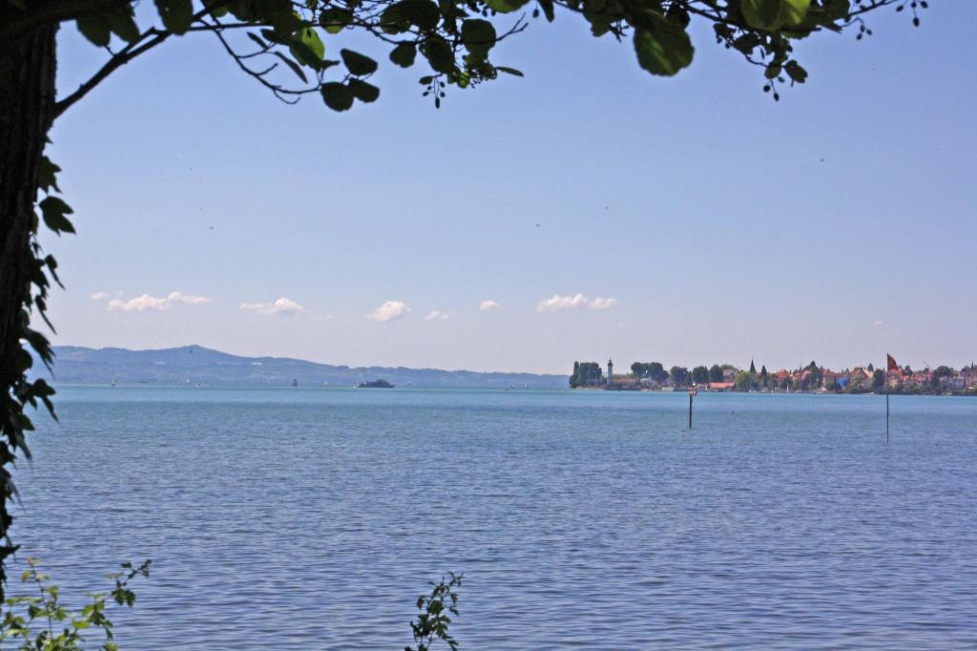
The tour through the Leiblach valley leads us from the island of Lindau to Hergensweiler. We can experience marvellous views and cross orchards and have not only the opportunity to set in, but also to swim.
- Vaikeus
-
tapa
- Arviointi
-
- Reitti
-
Lindau (Bodensee) (401 m)0,0 kmReutin1,0 kmOberhochsteg4,9 kmHörbranz5,7 kmHangnach6,4 kmHubers7,9 kmLaiblachsberg8,6 kmThumen9,5 kmSigmarszell10,1 kmBiesings10,2 kmHagers12,4 kmSonne13,0 kmHergensweiler13,0 kmMollenberg15,3 kmHeimholz16,3 kmBiesings16,4 kmSchlachters17,2 kmWeißensberg19,0 kmOberhof19,1 kmStreitelsfingen20,9 kmMotzach21,8 kmOberreutin22,2 kmLindau (Bodensee) (401 m)24,1 km
- Paras kausi
-
tammihelmimaalishuhtitoukokesäheinäelosyyslokamarrasjoulu
- Korkein kohta
- 537 m
- Korkeusprofiili
-
 © outdooractive.com


- Kirjoittaja
-
Kiertue Tour through the Leiblach valley käyttää outdooractive.com toimitettu.
GPS Downloads


Yleistä tietoa
Virvokepysäkki
Lupaava
Lisää retkiä alueilla