© Frederick Sams - Landkreis Lindau
© David Knipping - Landkreis Lindau (Bodensee)
© Sebastian Koch
© Sebastian Koch
© Gebr. Baldauf GmbH & Co. KG - Martina Lindenmayr

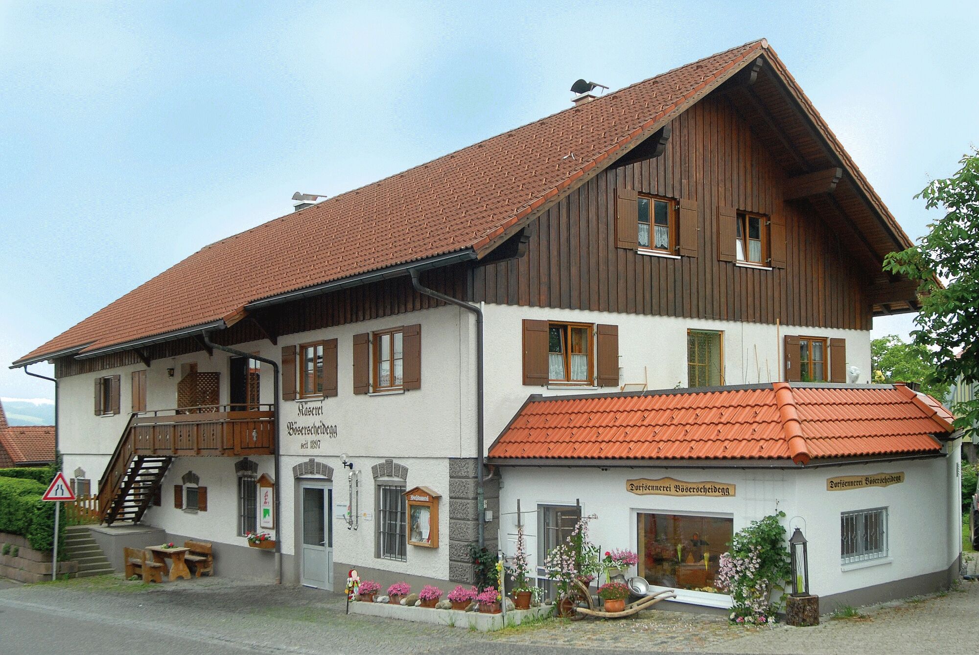
© Dorfsennerei Böserscheidegg - Martina Lindenmayr
")
- Lyhyt kuvaus
-
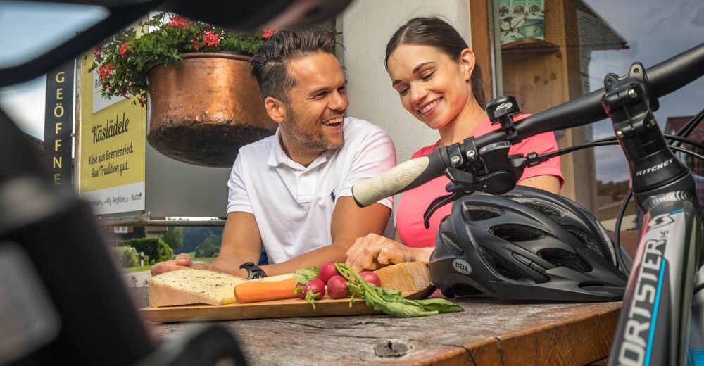
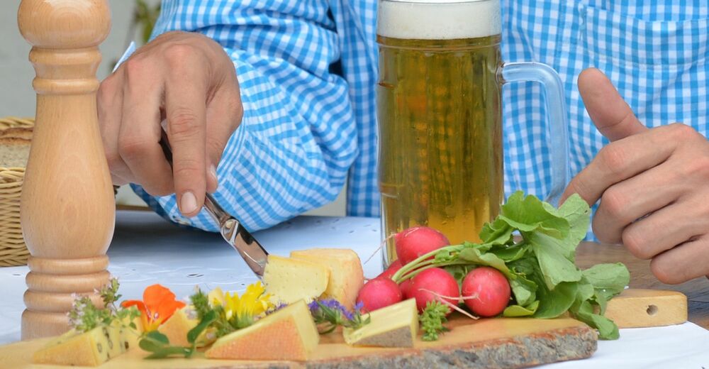
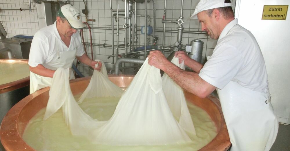
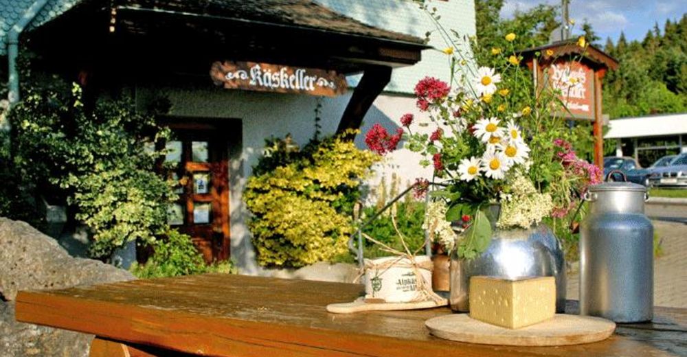
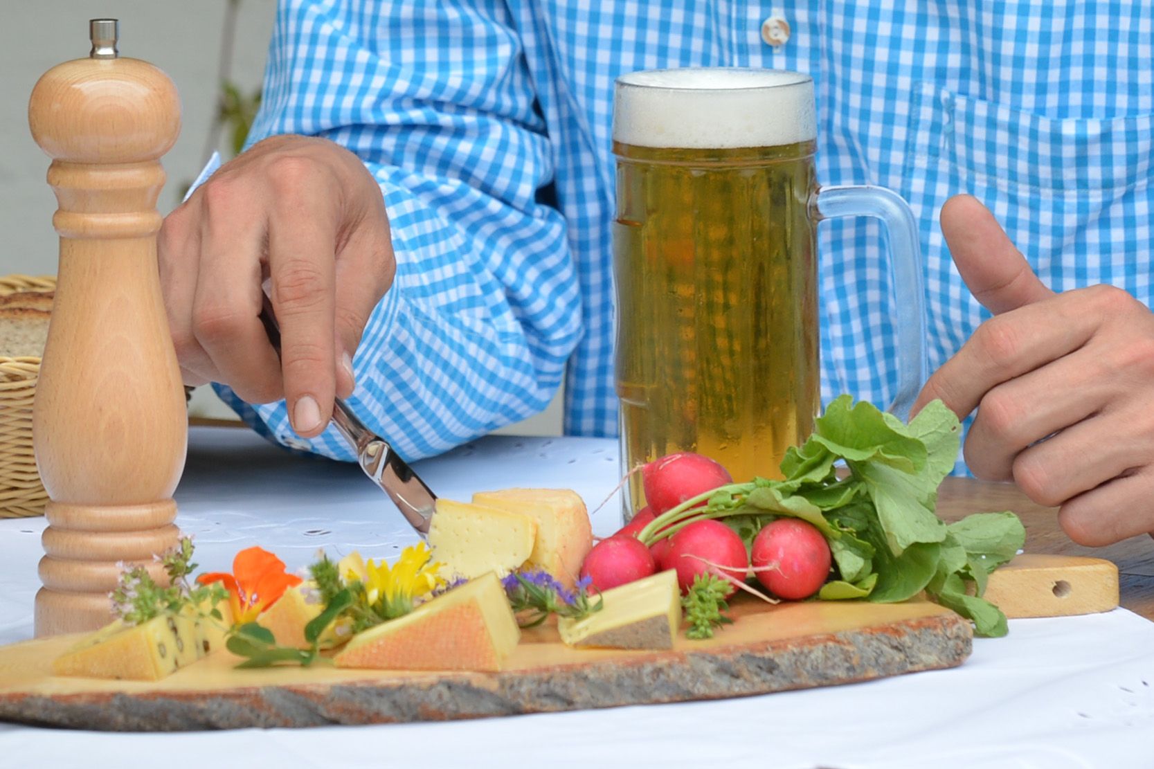
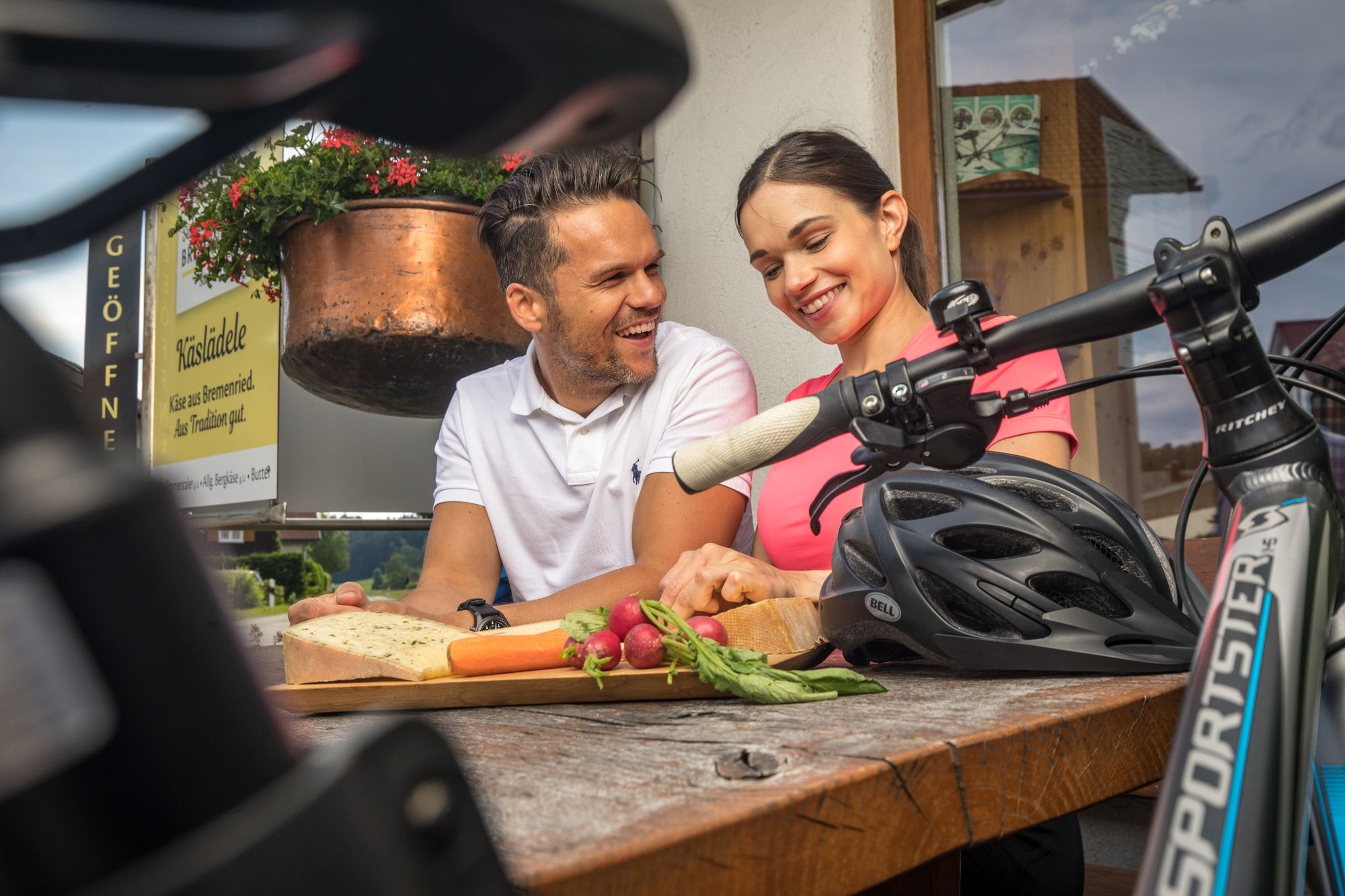
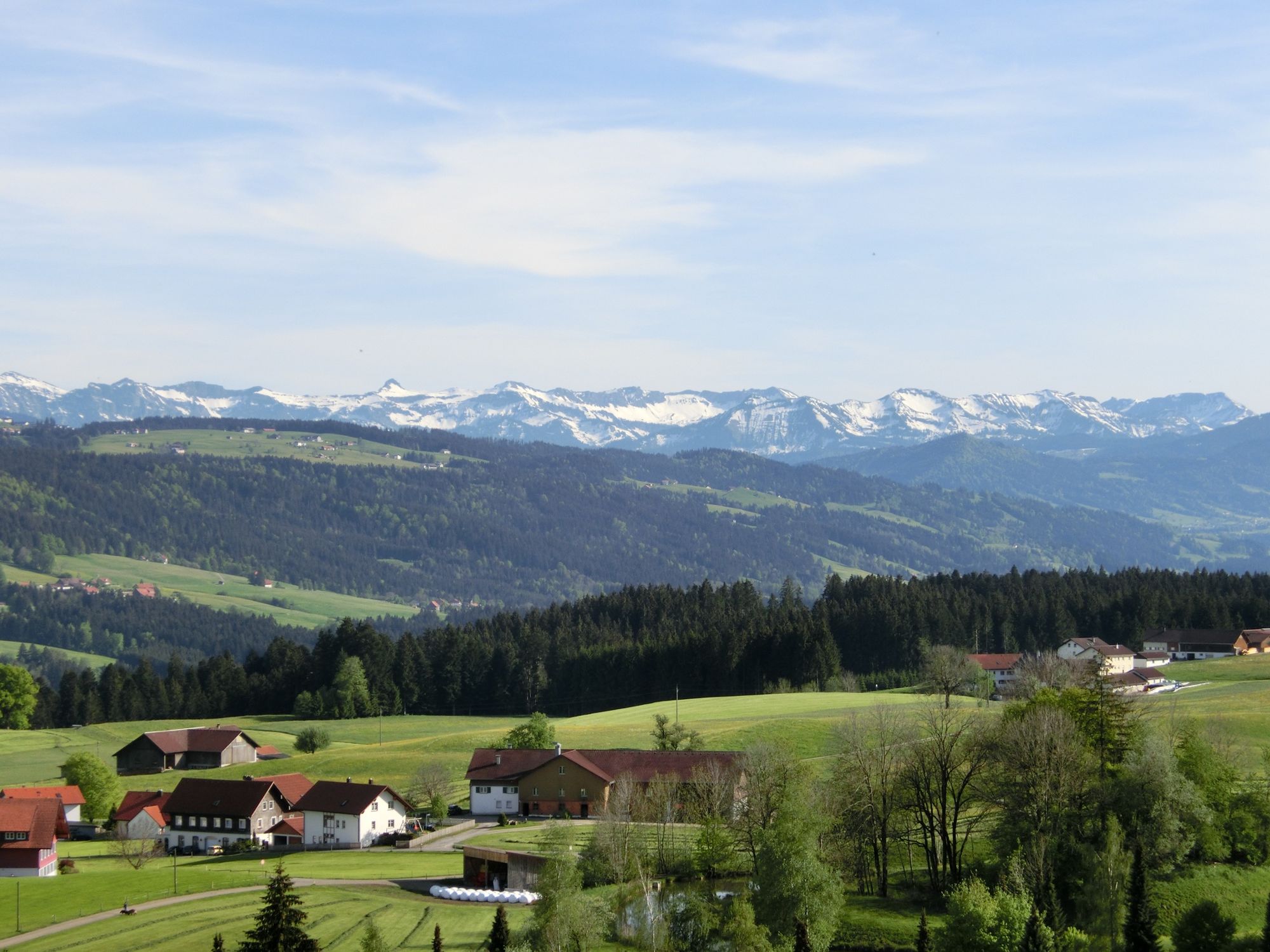
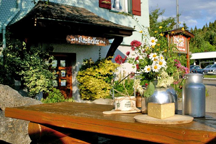
Käse und Bier - das ist im Allgäu Tradition pur. Auf dieser Tour laden drei Heumilchsennereien und zwei regionale Brauereien zu einem Stopp ein.
- Vaikeus
-
tapa
- Arviointi
-
- Reitti
-
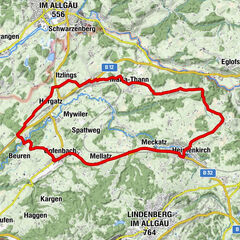
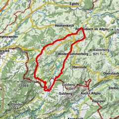
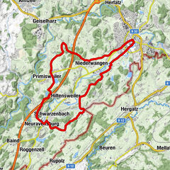
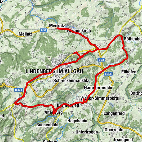
Meckatzer BräustübleMeckatzZum Marktwirt0,6 kmHeimenkirch1,0 kmGasthof Hirsch1,0 kmLourdes-Grotte1,2 kmHeimenkirch1,6 kmKreuz2,8 kmRiedhirsch3,4 kmGoßholz5,5 kmGoldener Adler5,7 kmNeuapostolische Kirche8,4 kmLindenberg im Allgäu (764 m)9,0 kmHaus11,5 kmMarienkapelle11,6 kmScheidegg12,8 kmGalluskapelle13,4 kmKatherina und Antonius Kapelle15,2 kmBöserscheidegg15,2 kmBux15,8 kmKapfreute16,1 kmHl. Helena Kapelle16,7 kmAltenburg16,7 kmHellers17,1 kmBremenried18,1 kmWeiler im Allgäu19,5 kmHammermühle21,3 kmMoos22,4 kmOberhäuser26,0 kmRöthenbach (Allgäu)26,1 kmDreiheiligen27,2 kmRiedhirsch28,6 kmKreuz29,5 kmHeimenkirch30,8 kmLourdes-Grotte31,1 kmGasthof Hirsch31,4 kmHeimenkirch31,4 kmZum Marktwirt31,8 kmMeckatz32,3 kmMeckatzer Bräustüble32,5 km
- Paras kausi
-
tammihelmimaalishuhtitoukokesäheinäelosyyslokamarrasjoulu
- Korkein kohta
- 825 m
- Kohde
-
Meckatzer Bräustüble, Meckatz 8, Heimenkirch
- Korkeusprofiili
-
 © outdooractive.com

- Kirjoittaja
-
Kiertue Biking on the the Allgaeu cheeseroad - cheese and beer käyttää outdooractive.com toimitettu.
GPS Downloads


Yleistä tietoa
Virvokepysäkki
Kulttuuri/Historiallinen
Lisää retkiä alueilla
-
Allgäu
410
-
Westallgäu
216
-
Lindenberg
77