


- Lyhyt kuvaus
-
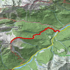
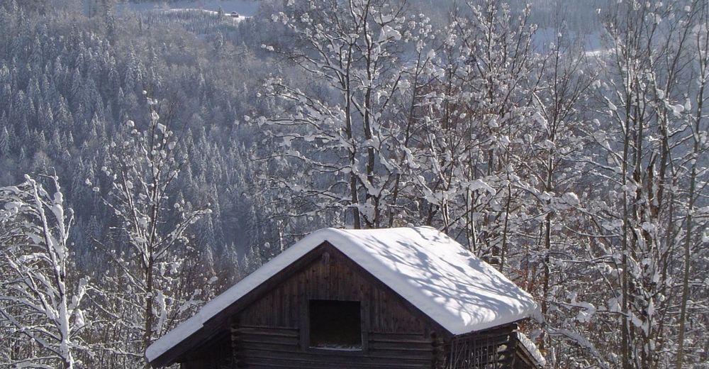
Be immersed in the partially untouched winter landscape with fantastic views over the spectacular Mountain Range of the Wetterstein.
- Vaikeus
-
tapa
- Arviointi
-
- Reitti
-
Brauneck (1.226 m)1,8 kmWamberg (1.304 m)3,0 kmElmauer Almhütte4,8 kmWamberg (996 m)9,2 kmKainzenbad11,4 kmEishütte11,5 kmGarmisch-Partenkirchen (708 m)12,1 km
- Paras kausi
-
elosyyslokamarrasjoulutammihelmimaalishuhtitoukokesäheinä
- Korkein kohta
- 1.293 m
- Kohde
-
Olympia Skistadion
- Korkeusprofiili
-
 © outdooractive.com


- Kirjoittaja
-
Kiertue Via Wamberger Höhenrücken to Elmauer Alm käyttää outdooractive.com toimitettu.
GPS Downloads


Yleistä tietoa
Virvokepysäkki
Sisäpiirin vinkki
Lupaava
Lisää retkiä alueilla