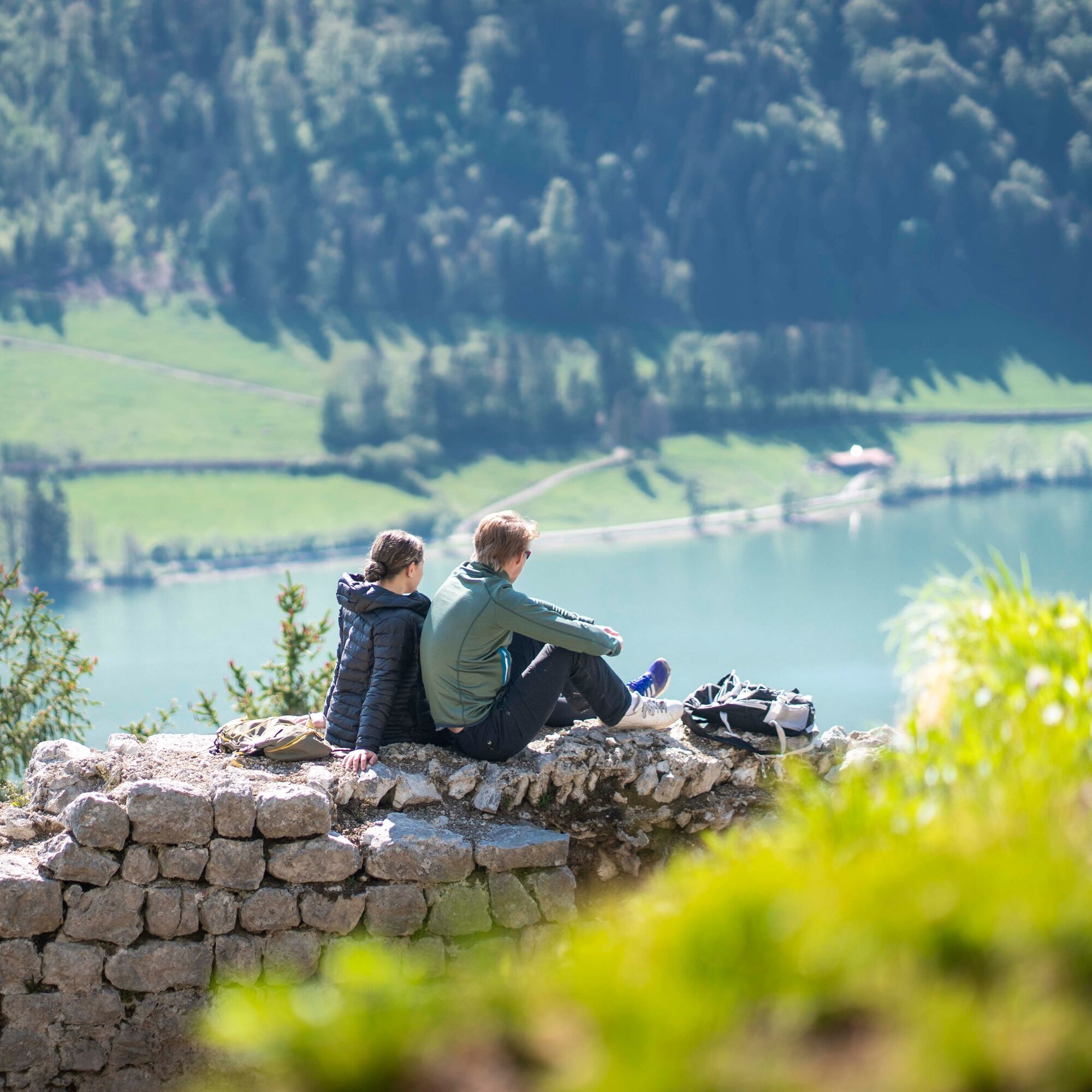
© Alpenregion Tegernsee Schliersee - Dietmar Denger

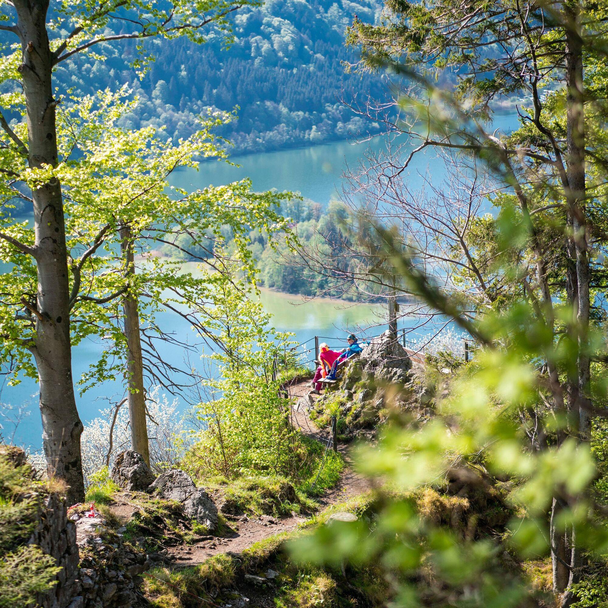
© Alpenregion Tegernsee Schliersee - Dietmar Denger

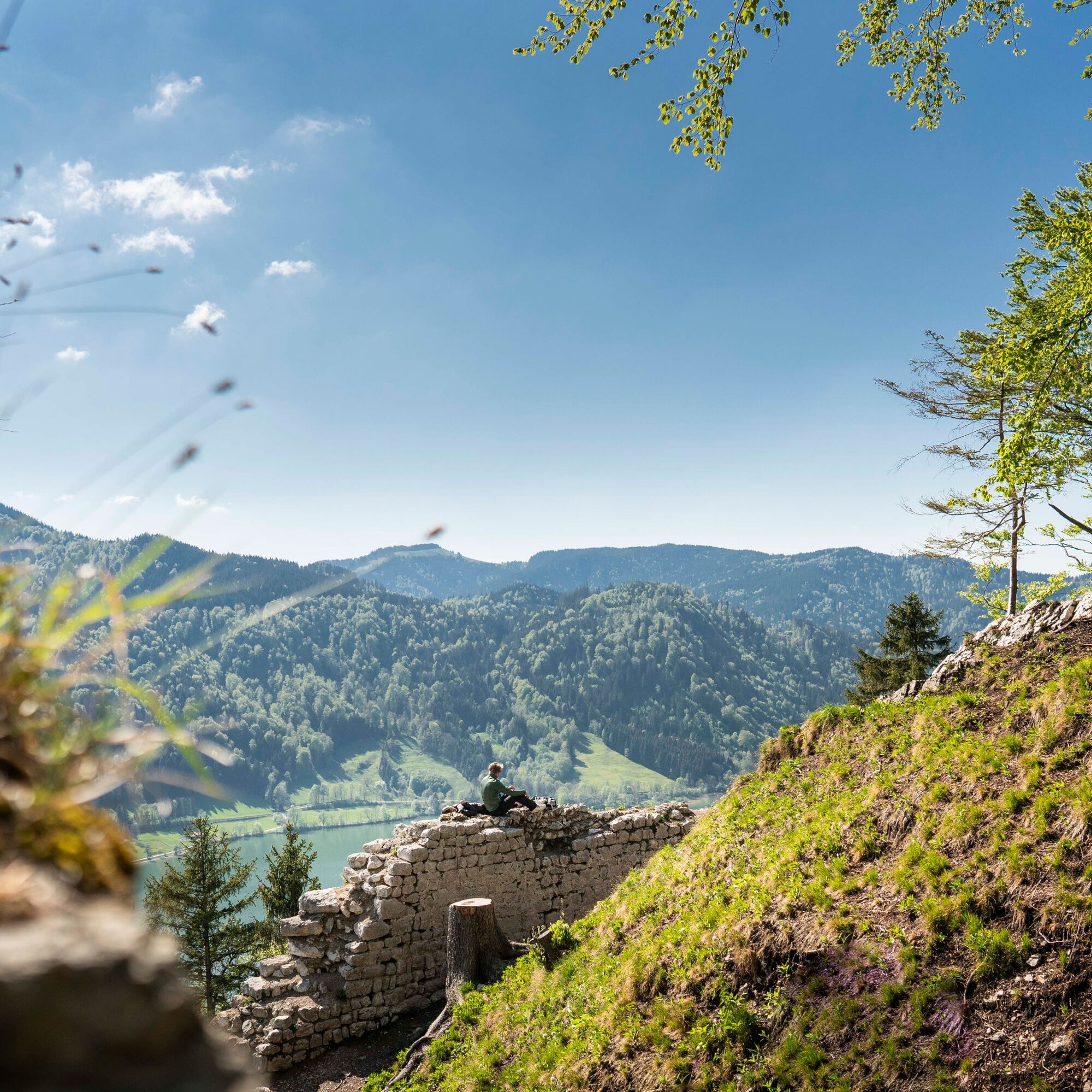
© Alpenregion Tegernsee Schliersee - Dietmar Denger

© Alpenregion Tegernsee Schliersee - Dietmar Denger

- Vaikeus
-
tapa
- Arviointi
-
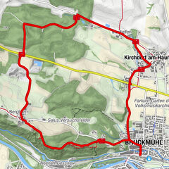
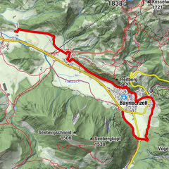
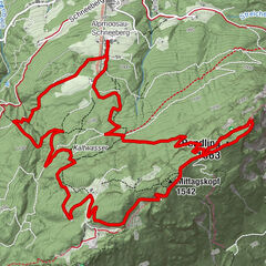
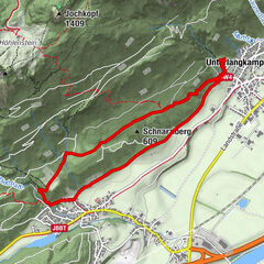
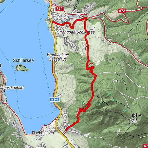
- Reitti
-
Oberleiten2,4 kmUnterleiten3,4 kmSchliersee (758 m)3,5 km
- Paras kausi
-
tammihelmimaalishuhtitoukokesäheinäelosyyslokamarrasjoulu
- Korkein kohta
- 1.044 m
- Korkeusprofiili
-
 © outdooractive.com

-

-
KirjoittajaKiertue Geschichts- und Naturwanderweg zur Burgruine Hohenwaldeck käyttää outdooractive.com toimitettu.
GPS Downloads


Yleistä tietoa
Virvokepysäkki
Kulttuuri/Historiallinen
Sisäpiirin vinkki
Fauna
Lupaava
Lisää retkiä alueilla