© Oliver Huber

© Oliver Huber

© Oliver Huber

© Oliver Huber

© Oliver Huber

© Oliver Huber

© Oliver Huber

© Oliver Huber
Retkitiedot
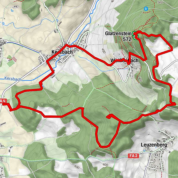
9,34km
355
- 578m
272hm
284hm
03:00h
- Lyhyt kuvaus
-
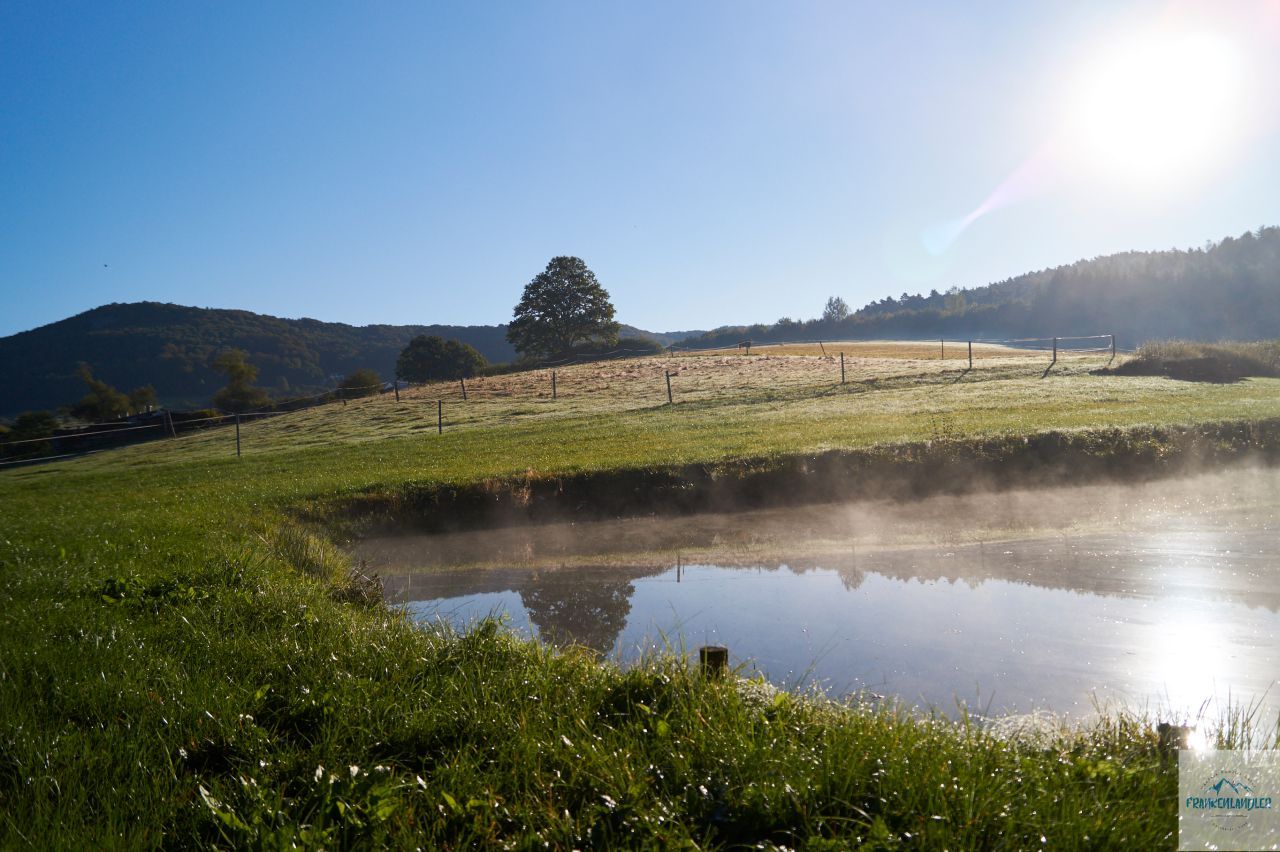
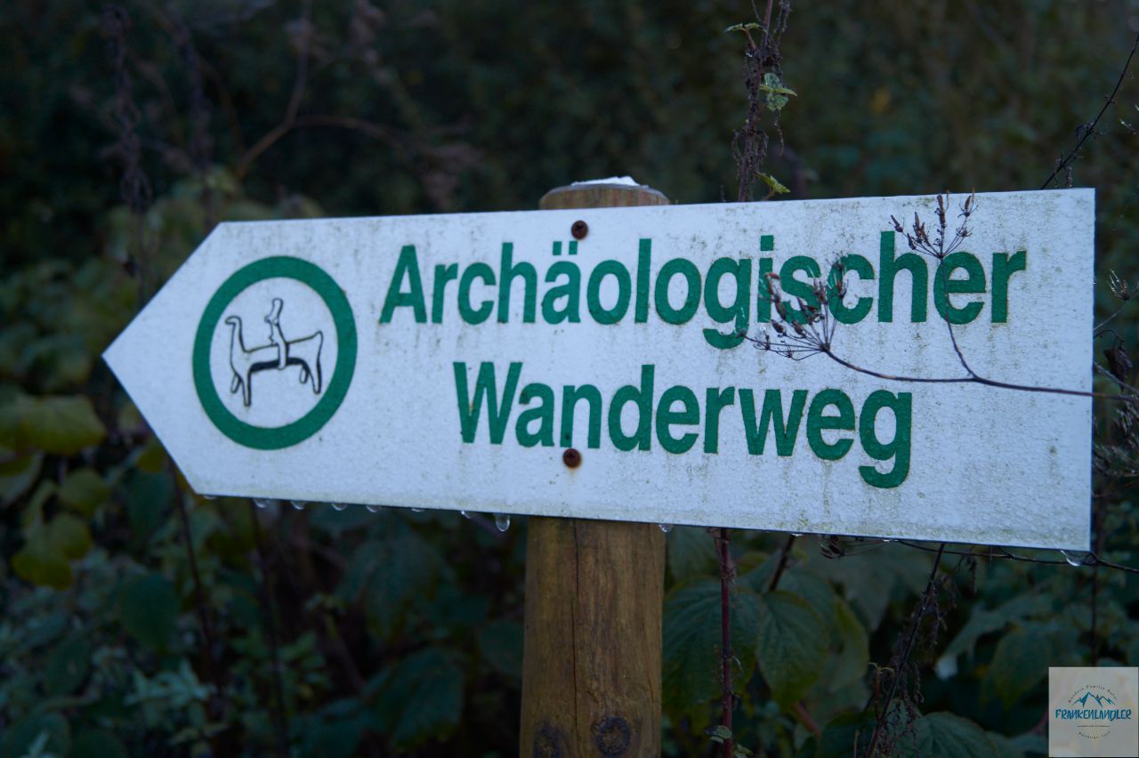
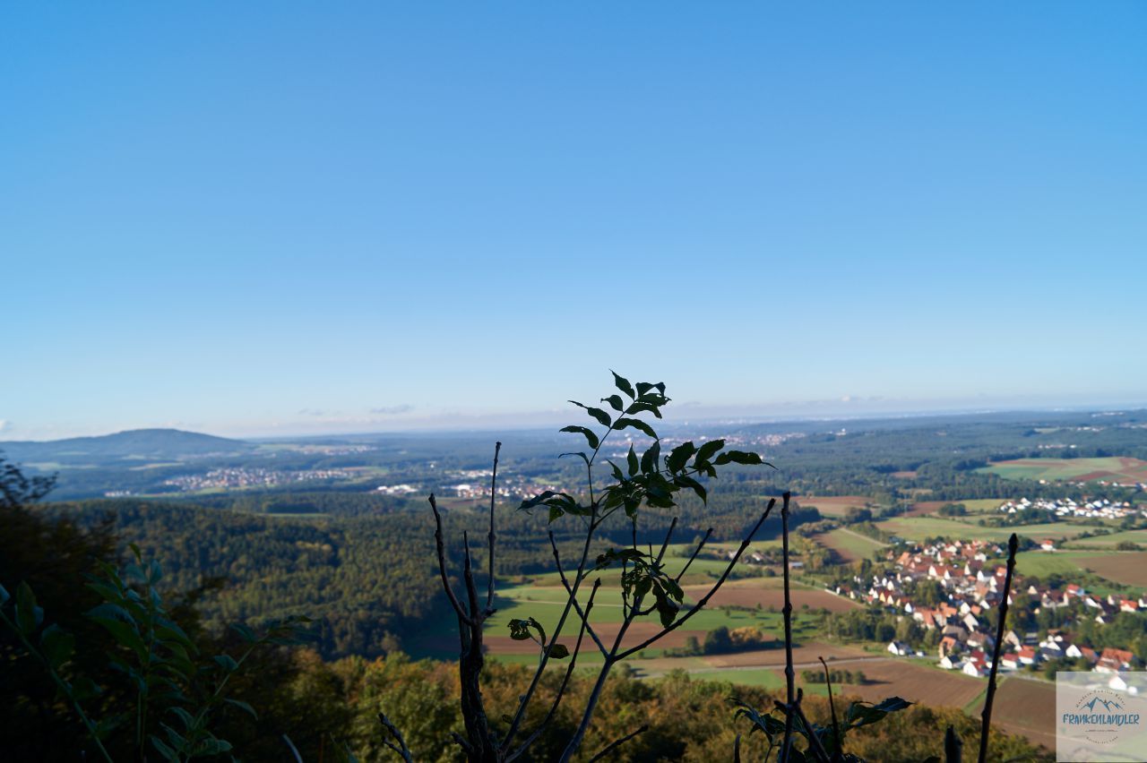
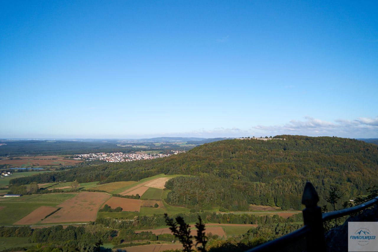
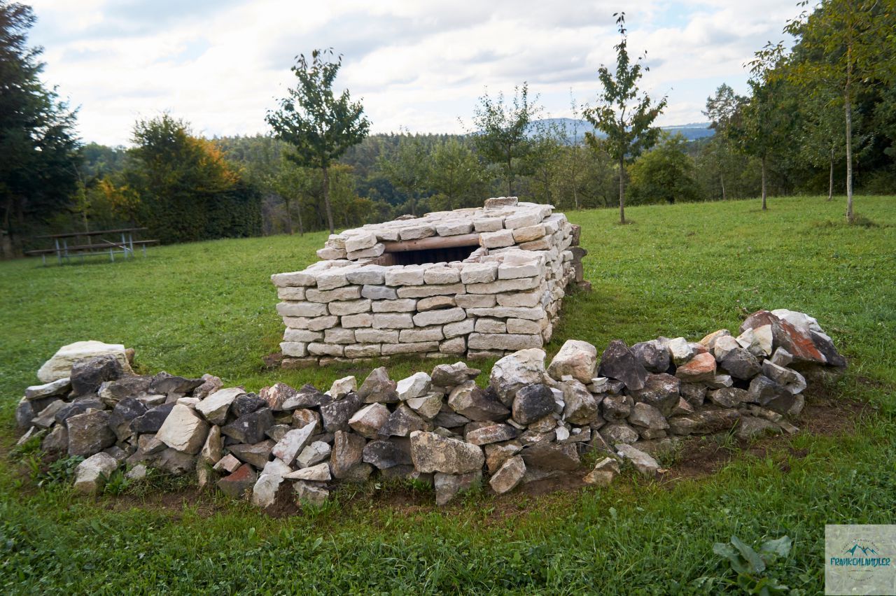
Wanderung von Speikern auf den Glatzenstein im Nürnberger Land.
- Vaikeus
-
helppo
- Arviointi
-
- Lähtöpiste
-
Wanderparkplatz Speikern
- Reitti
-
Kersbach1,6 kmWeißenbach2,7 kmBerggasthof Zum Glatzenstein2,8 kmGlatzenstein (572 m)3,7 kmGlatzensteinhöhle3,7 kmMonte Velo3,7 kmLeuzenberg6,2 km
- Paras kausi
-
tammihelmimaalishuhtitoukokesäheinäelosyyslokamarrasjoulu
- Kuvaus
- Korkein kohta
- 578 m
- Kohde
-
Wanderparkplatz Speikern
- Lähde
- Oliver Huber
GPS Downloads


Polun olosuhteet
Asfaltti
Sora
Niitty
Metsä
Kallio
Altistettu
Lisää retkiä alueilla
-
Franken
510
-
Nürnberger Land
358
-
Schnaittach
120