Retkitiedot
13,27km
634
- 1.378m
785hm
781hm
06:00h
- Lyhyt kuvaus
-
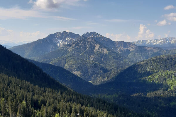
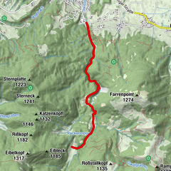
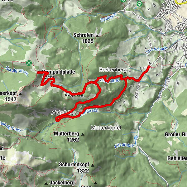
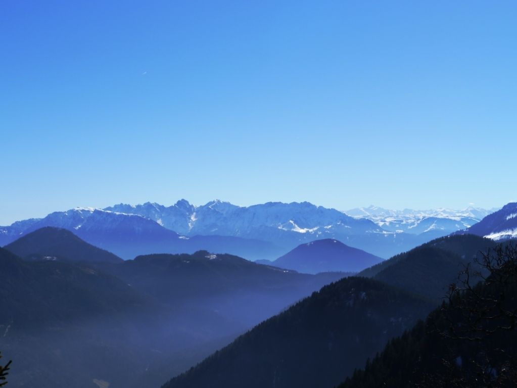
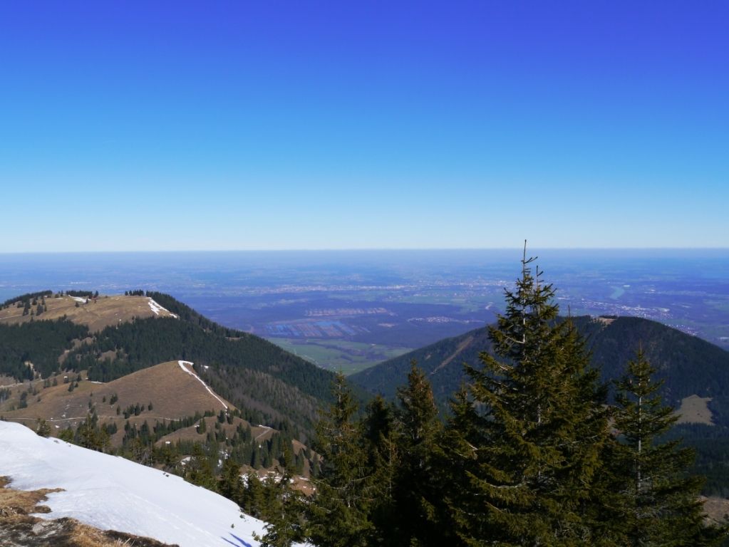
Von Sankt Margarethen über die Breitenbergalm auf die Rampoldplatte und an der Wendelsteinbahn ab Aipl zurück
- Vaikeus
-
tapa
- Arviointi
-
- Lähtöpiste
-
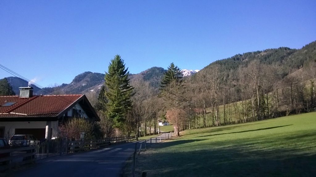
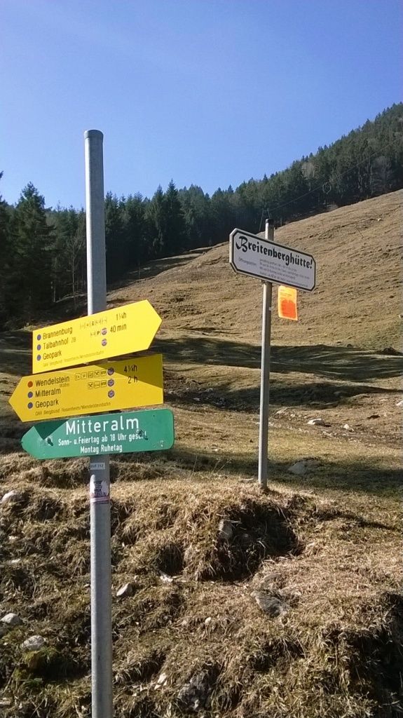
Wanderparkplatz Sankt Margarethen
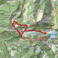
- Reitti
-
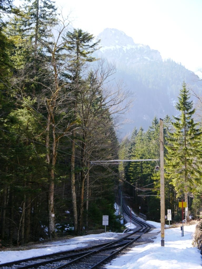
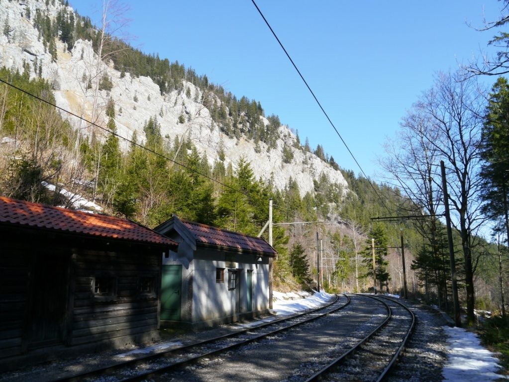
Sankt Margarethen0,0 kmRampoldplatte (1.422 m)4,9 kmLechneralm5,6 kmSchwarzer Ursprung10,1 kmSankt Margarethen13,2 km
- Paras kausi
-
tammihelmimaalishuhtitoukokesäheinäelosyyslokamarrasjoulu
- Korkein kohta
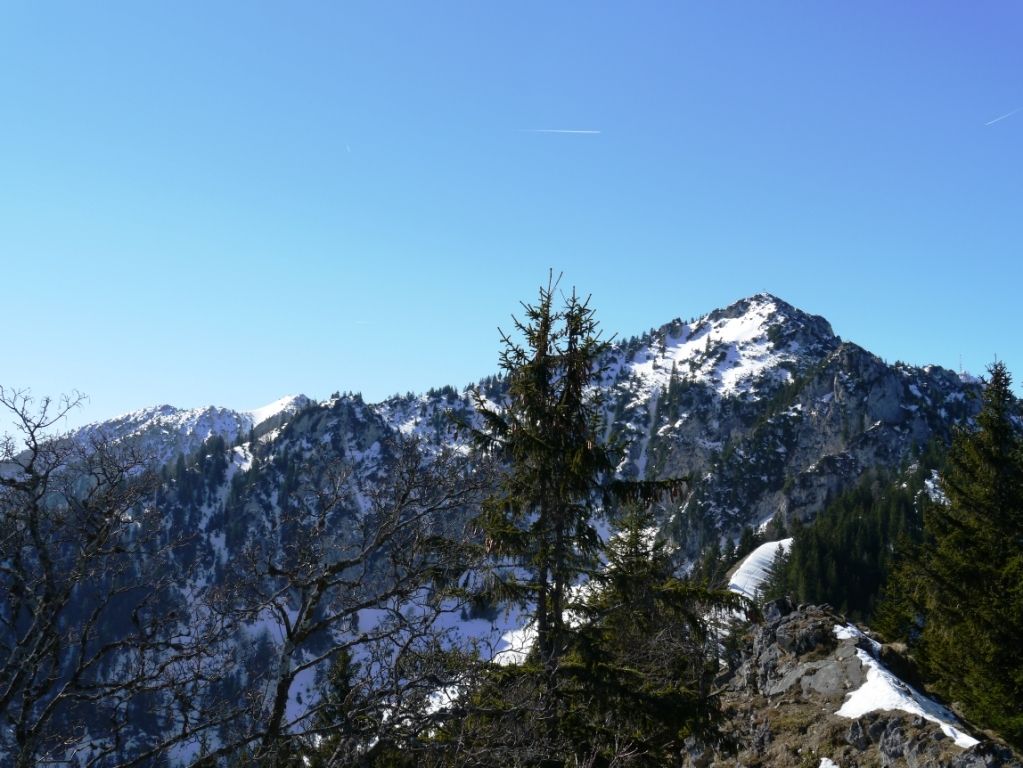
- Rampoldplatte (1.378 m)
- Kohde
-
Rampoldplatte
- Lepo/Retriitti


GPS Downloads


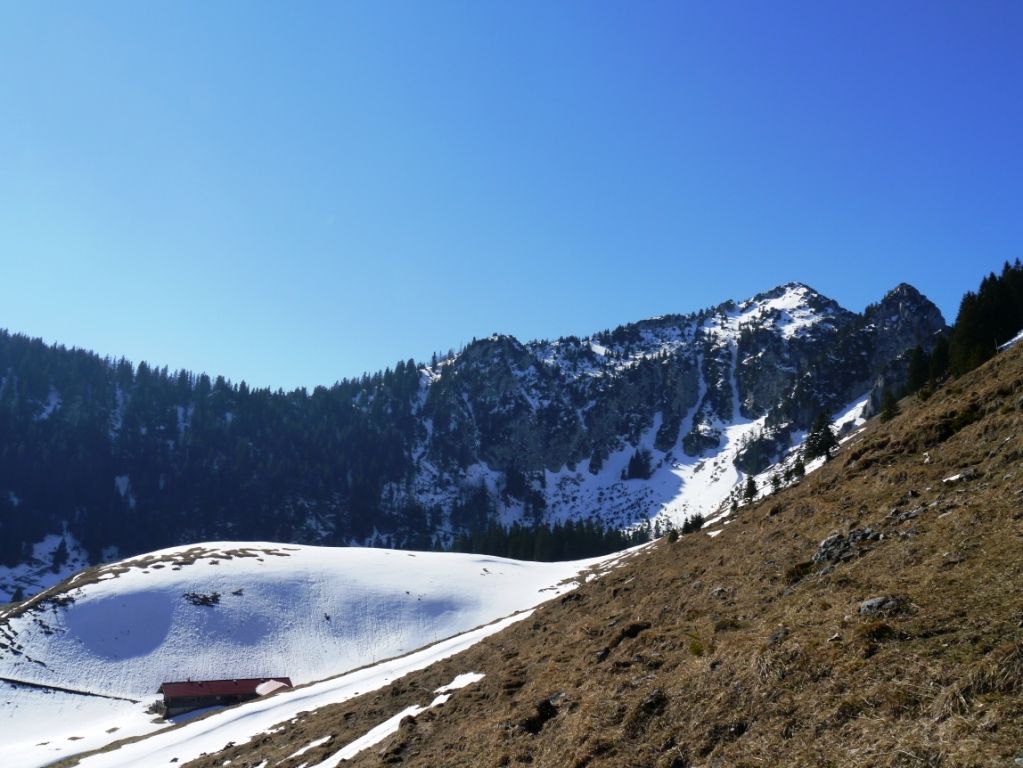
Polun olosuhteet
Asfaltti
(10%)
Sora
(50%)
Niitty
(20%)
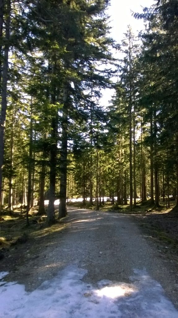
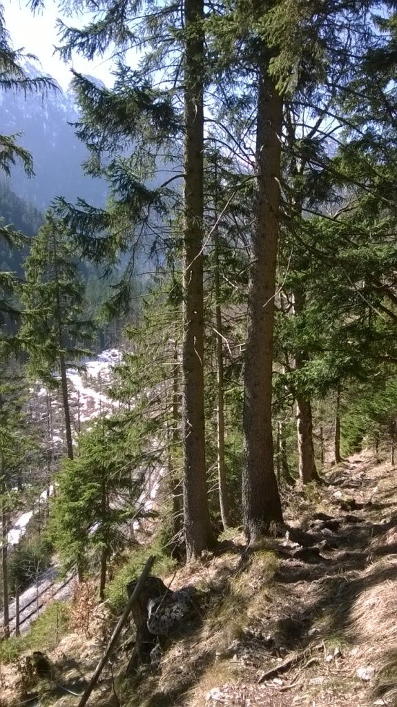
Metsä
(10%)
Kallio
(5% Gipfel)
Altistettu
(5% Gipfel)
Lisää retkiä alueilla
-
Chiemsee - Alpenland
1212
-
Brannenburg
500