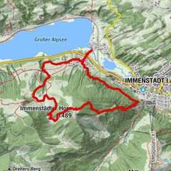
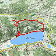
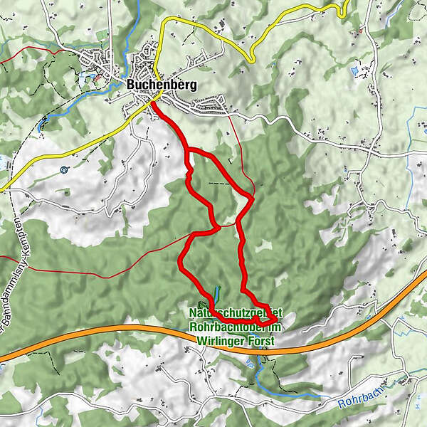
Retkitiedot
7,69km
824 - 891m
Distanz
74hm
80hm
Nousu
02:40h
 
Kesto
Reitti
Buchenberg (893 m)
Adler
Adler
7,5 km
Buchenberg (893 m)
7,6 km

Korkein kohta
891 m
Korkeusprofiili
© outdooractive.com

Kirjoittaja
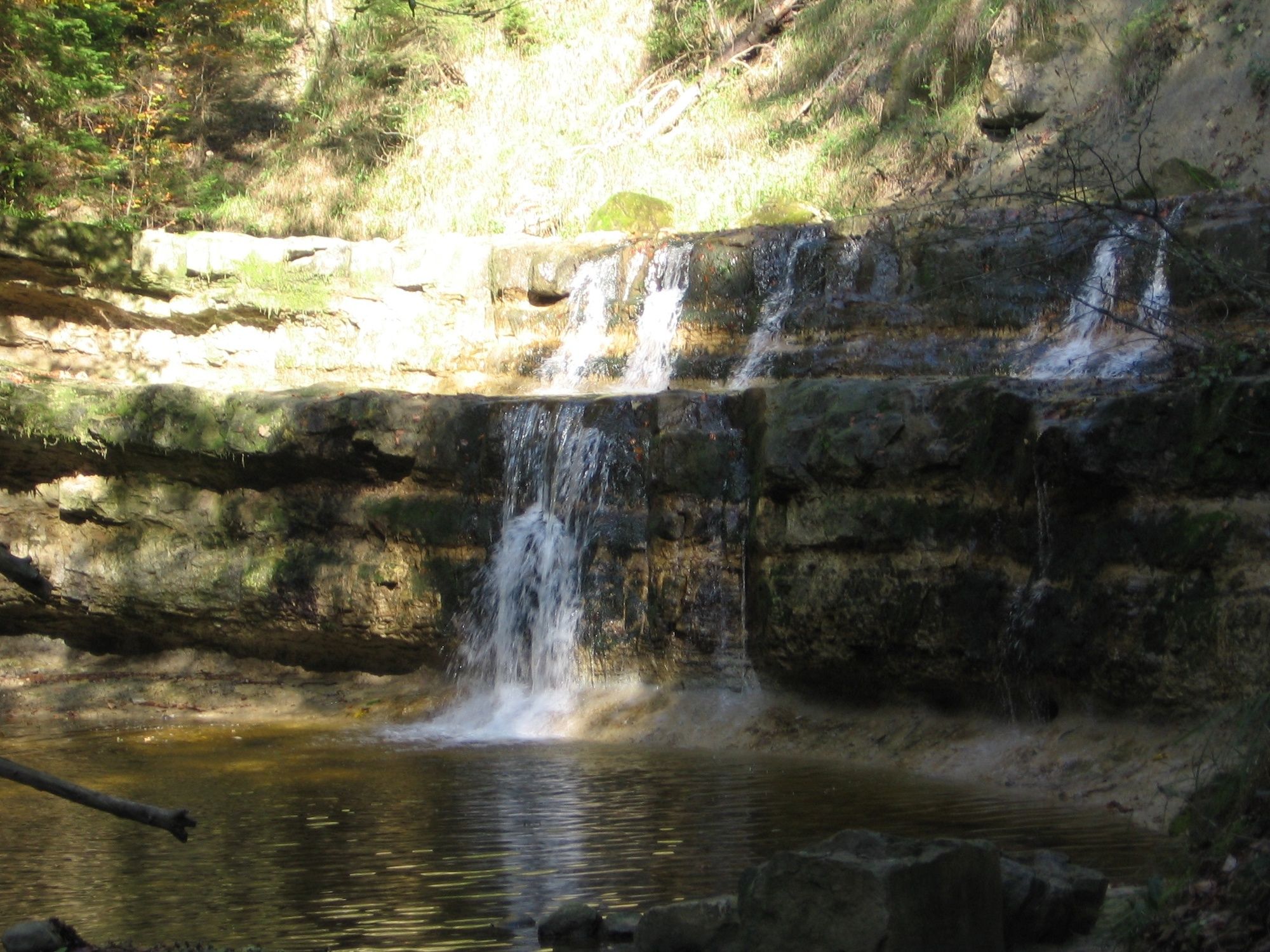
Kiertue Rohrbachtobel käyttää outdooractive.com toimitettu.

4,0
Yleinen luokitus

5

0

%

4

100

%

3

0

%

2

0

%

1

0

%

GPS Downloads
  • GPX GPS Exchange Format (XML)
  • KML Google Earth, Google Maps
QR-latauskoodit matkapuhelimiin
Lisää retkiä alueilla

Suosittuja retkiä alueella

Hirschberg 1456 m

tapa
8,28km | 613hm | 03:30h

Drei-Hütten-Panoramatour

helppo
9,74km | 268hm | 02:50h

Klassikertour: Auf den Grünten

vaikea
8,5km | 776hm | 06:00h