

© Füssen Tourismus und Marketing - Sabine Hipp

© Füssen Tourismus und Marketing - Sabine Hipp

© Füssen Tourismus und Marketing - Sabine Hipp

© Füssen Tourismus und Marketing - Sabine Hipp

© Füssen Tourismus und Marketing - Sabine Hipp

© Füssen Tourismus und Marketing - Sabine Hipp

© Füssen Tourismus und Marketing - Sabine Hipp

© Füssen Tourismus und Marketing - Sabine Hipp

© Füssen Tourismus und Marketing - Sabine Hipp

© Füssen Tourismus und Marketing - Sabine Hipp

- Lyhyt kuvaus
-
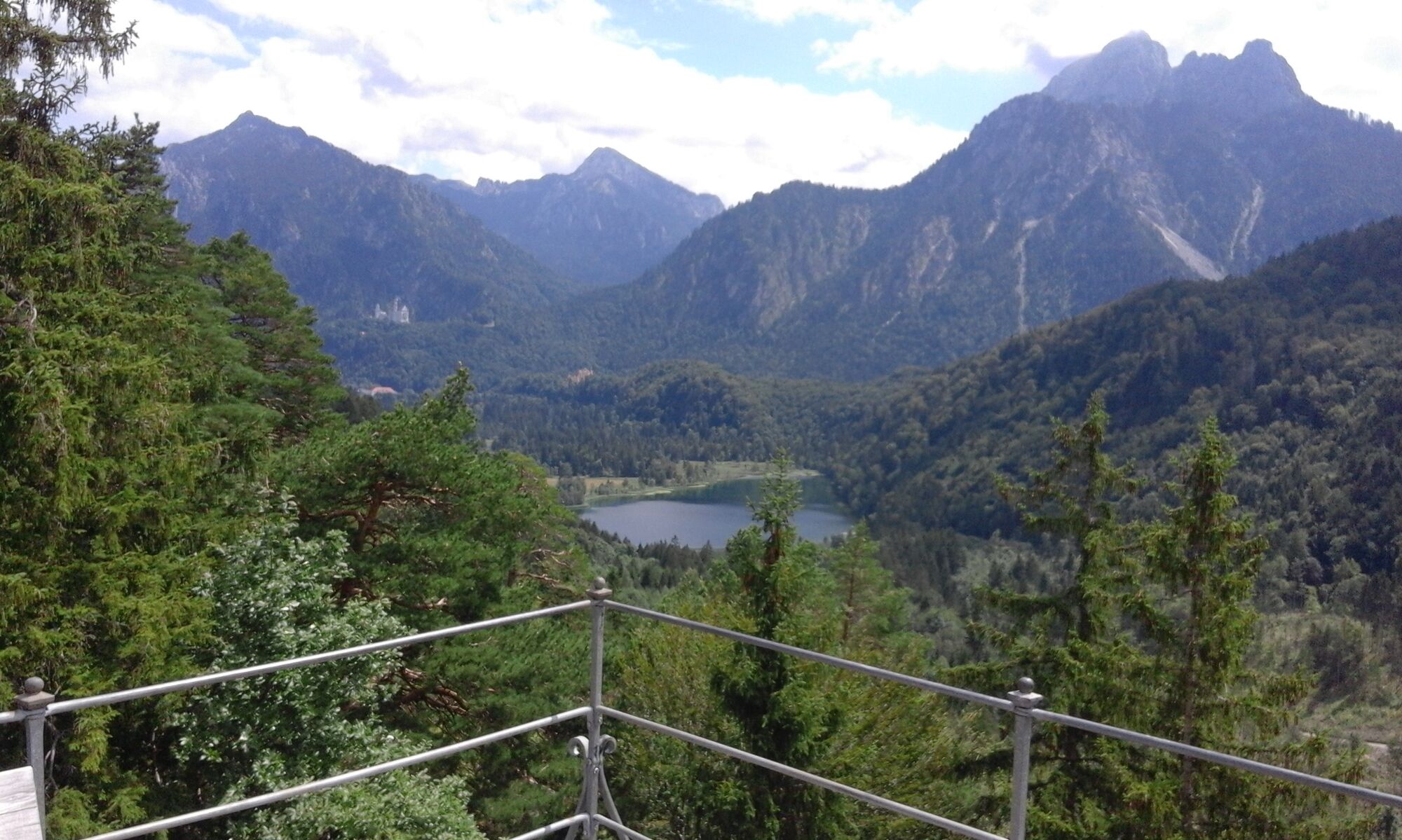
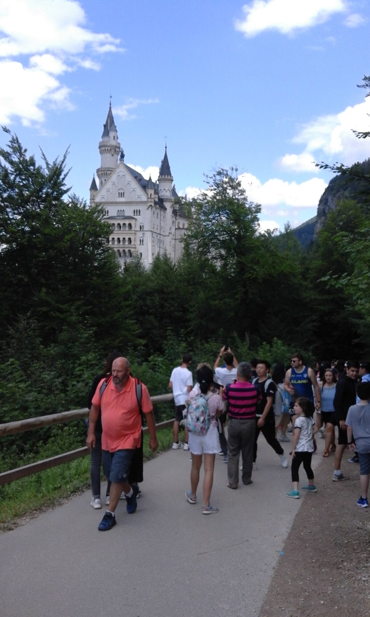
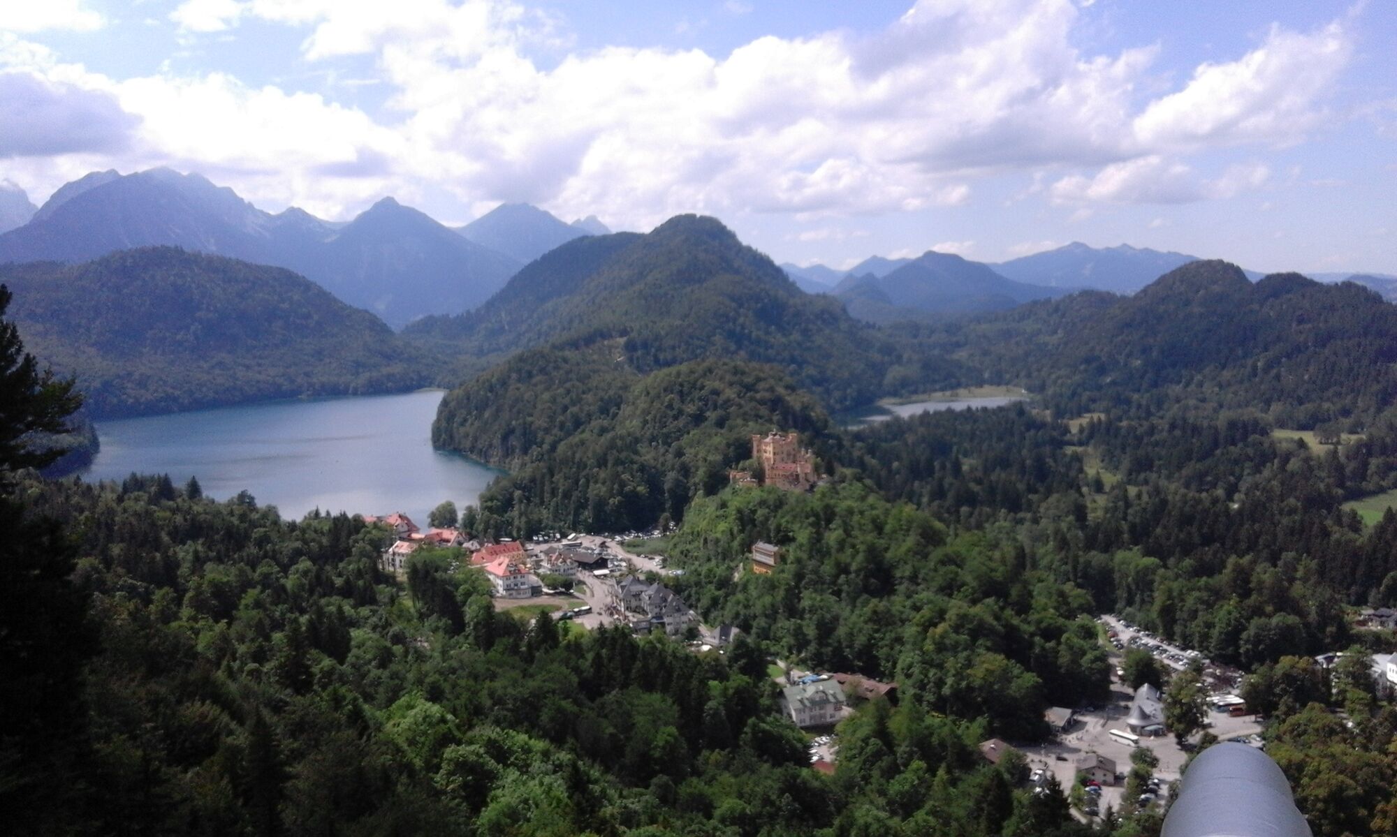
Hiking through the favorite landscape of the Bavarian kings - for pleasure hikers and castle fans.
- Vaikeus
-
tapa
- Arviointi
-
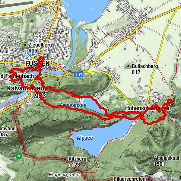
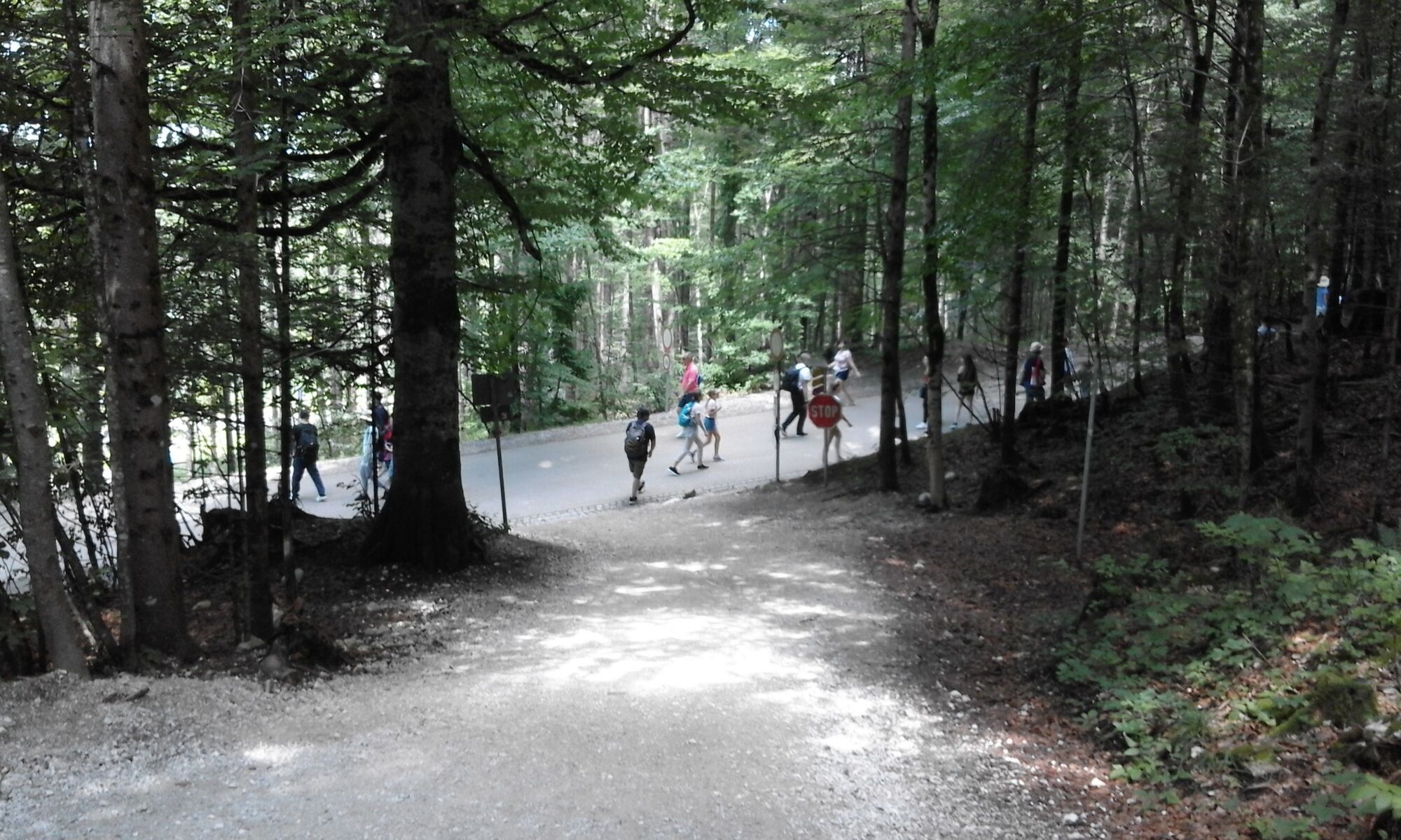
- Reitti
-
Füssen (808 m)0,4 kmSpitalkirche Hl. Geist0,5 kmMagnusblick0,5 kmUnsere Liebe Frau am Berg0,7 kmAbschied-Jesu-Kapelle0,8 kmStation 10,9 kmStation 21,0 kmStation 31,2 kmMarienkapelle1,2 kmStation 41,2 kmStation 81,3 kmStation 51,3 kmStation 61,3 kmStation 71,4 kmStation 91,5 kmKerkerkapelle1,5 kmStation 101,5 kmKalvarienberg (953 m)1,5 kmStation 14 Heiliggrab-Kapelle1,5 kmStation 131,5 kmHeiligkreuz-Kapelle1,5 kmStation 121,5 kmStation 111,5 kmBlick über den Schwansee3,1 kmAlpenrose am See4,9 kmHohenschwangau5,3 kmWasserfall unterm Schloss6,2 kmSchlossrestaurant Neuschwanstein6,5 kmPanoramablick Schwangau7,2 kmPöllatfall7,3 kmChristkönigskapelle8,7 kmBerzenkopf (892 m)9,3 kmKanzel12,4 kmLechfall12,9 kmBad Faulenbach13,6 kmPfarrkirche St. Mang14,9 kmFüssen (808 m)14,9 kmKrippkirche15,2 km
- Paras kausi
-
tammihelmimaalishuhtitoukokesäheinäelosyyslokamarrasjoulu
- Korkein kohta
- 973 m
- Kohde
-
Tourist Information Füssen
- Korkeusprofiili
-
 © outdooractive.com


- Kirjoittaja
-
Kiertue Royal forest hike käyttää outdooractive.com toimitettu.
GPS Downloads


Yleistä tietoa
Virvokepysäkki
Kulttuuri/Historiallinen
Sisäpiirin vinkki
Lupaava
Lisää retkiä alueilla
-
Allgäu
2362
-
Naturparkregion Reutte
1437
-
Füssen
606
 bzw. Vilsalpsee")


