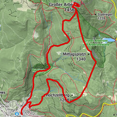
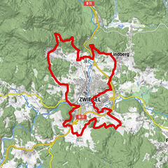
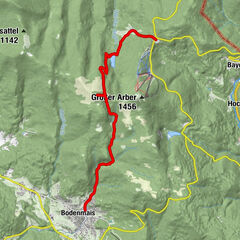
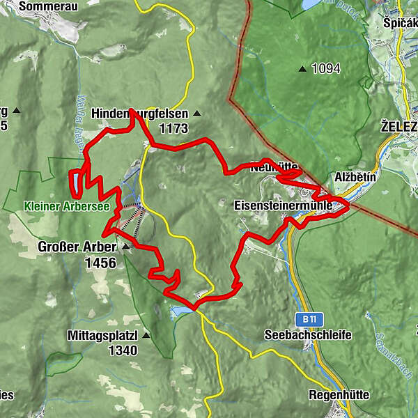
Bayerisch Eisenstein - Mooshütte - Kl. Arbersee - Großer Arber - Gr. Arbersee - Bayerisch Eisenstein

Retkitiedot
25,97km
695
- 1.362m
892hm
08:00h
- Arviointi
-
- Lähtöpiste
-
Bahnhof in Bayerisch Eisenstein
- Reitti
-
Bahnhof Bayerisch Eisenstein / Markt Eisenstein - Elisenthalan der Landesgrenze-Bahnhof0,0 kmElisenthal0,1 kmBayerisch Eisenstein0,5 kmBayerisch Häusl1,5 kmNeuhütte1,7 kmBrennes6,8 kmSeewände10,9 kmBergstation14,4 kmArberschutzhaus15,8 kmEisensteiner Hütte15,8 kmStallriegel (1.228 m)16,8 kmGeige18,2 kmGeigenbachfälle19,2 kmArberhütte22,4 kmEisensteinermühle24,2 kmGrotte25,0 kmSt. Johannes Nepomuk (Gedächtnis Kirche)25,0 kmBayerisch Eisenstein25,3 kmfitalPARCOURS25,3 km
- Korkein kohta
- 1.362 m
- Lepo/Retriitti
-
Arberschutzhaus mit Übernachtungsmöglichkeit, Eisensteiner Hütt´n und Gasthaus zur Gondelbahn
GPS Downloads


Polun olosuhteet
Asfaltti
Sora
Niitty
Metsä
Kallio
Altistettu
Lisää retkiä alueilla
-
Arberland
504
-
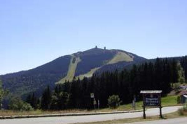
Grosser Arber
285