© Gemeinde Oberaudorf - Hans Osterauer

© Yvonne Großmann - Yvonne Tremml

© Gemeinde Oberaudorf - Teresa Funk
- Lyhyt kuvaus
-
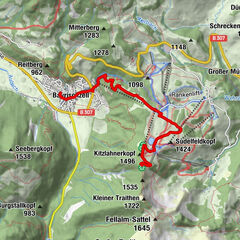
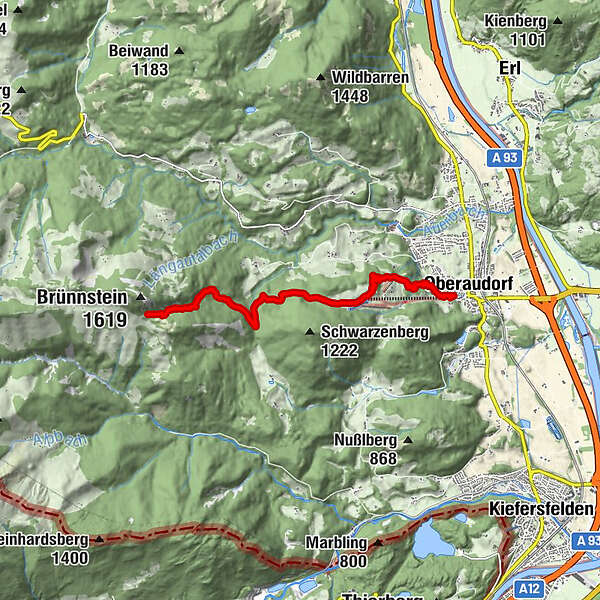
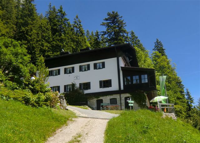
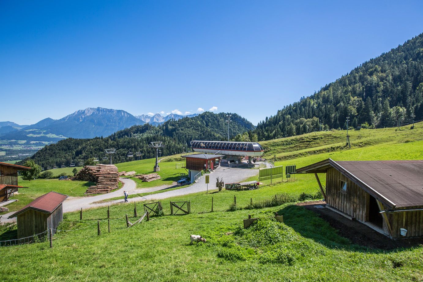
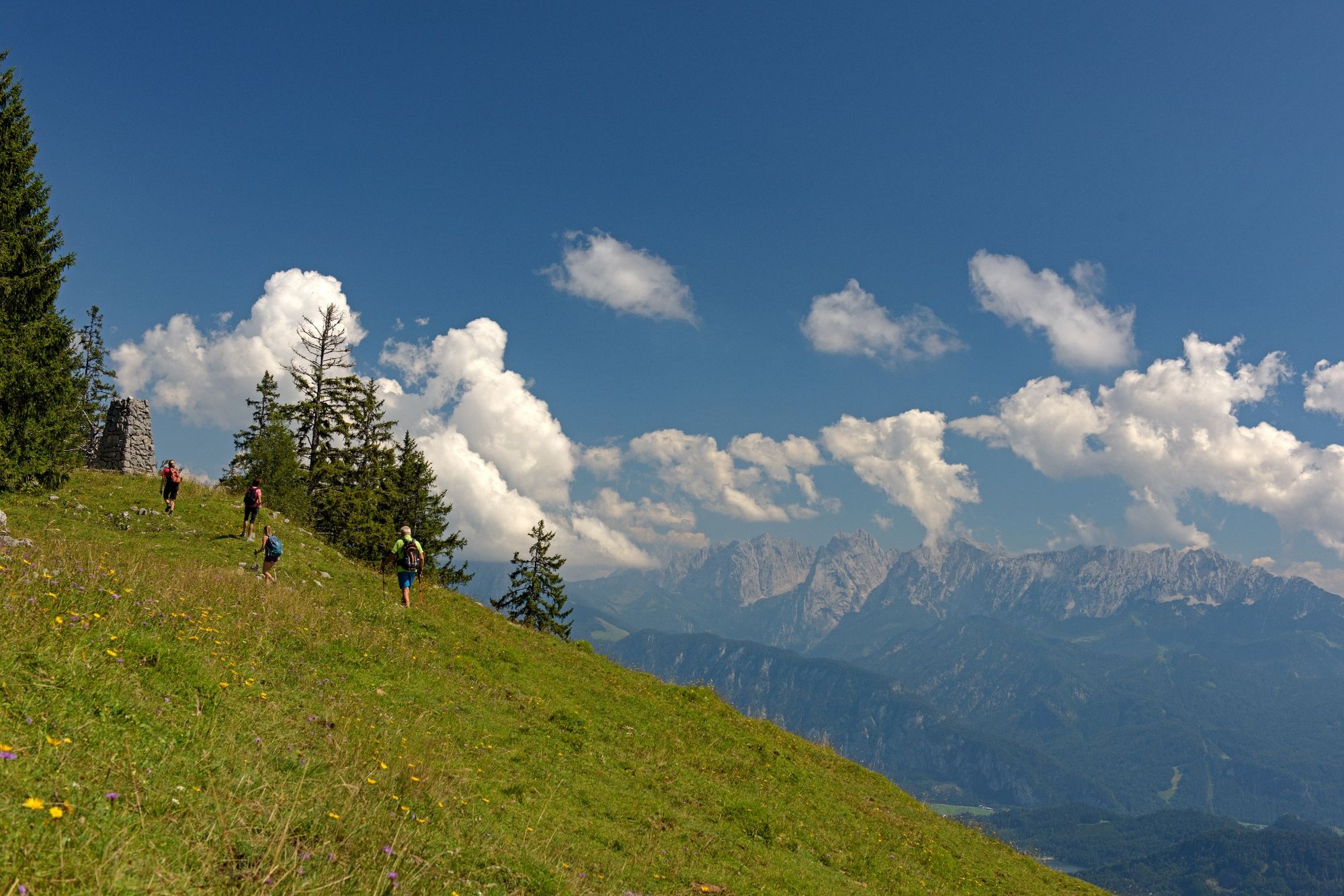
Eine schöne Etappe des violetten Weges der Via Alpina von Oberaudorf über das Hocheck und das Brünntal zum Brünnsteinhaus.
- Vaikeus
-
tapa
- Arviointi
-
- Reitti
-
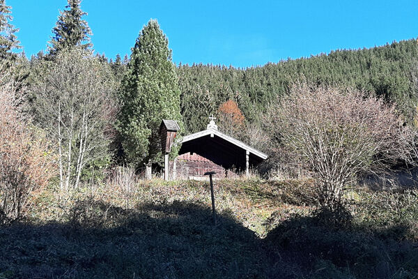
Oberaudorf0,1 kmBerggasthof Hocheck2,6 kmBrünntal6,9 kmBrünnsteinhaus7,9 km
- Paras kausi
-
tammihelmimaalishuhtitoukokesäheinäelosyyslokamarrasjoulu
- Korkein kohta
- 1.347 m
- Kohde
-
Brünnsteinhaus
- Korkeusprofiili
-
 © outdooractive.com
-

-
KirjoittajaKiertue Brünnsteinhaus über Bergbahn Hocheck und das Brünntal käyttää outdooractive.com toimitettu.
GPS Downloads


Yleistä tietoa
Virvokepysäkki
Lupaava
Lisää retkiä alueilla
-
Kufsteinerland
2125
-
Oberaudorf Hocheck
680