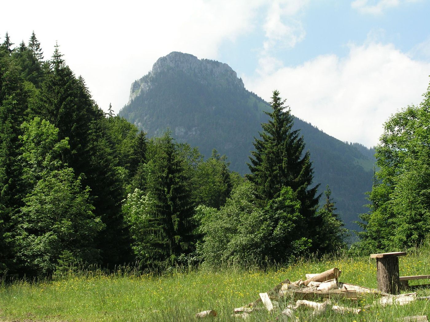
© Bergbahn Hocheck - Hubert Wildgruber
Retkitiedot
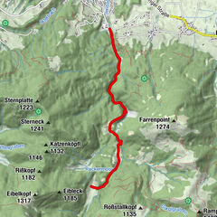
7,91km
739
- 1.346m
804hm
804hm
04:00h
- Lyhyt kuvaus
-
schwerere Bergtour
- Vaikeus
-
tapa
- Arviointi
-
- Lähtöpiste
-
Bergstation Hocheck
- Reitti
-
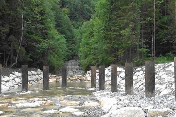
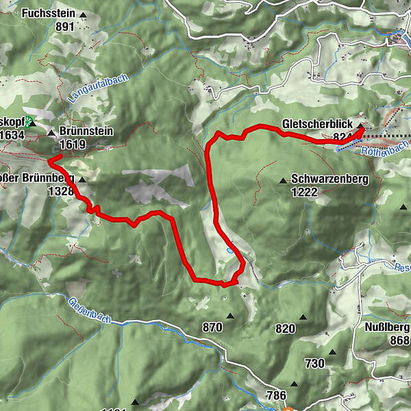
Bergstation (1.000 m)0,0 kmWildgrub3,5 kmKapelle St. Hubertus3,7 kmRechenau4,1 kmKapelle4,2 kmBrünnsteinhaus7,8 km
- Paras kausi
-
tammihelmimaalishuhtitoukokesäheinäelosyyslokamarrasjoulu
- Korkein kohta
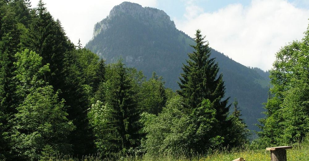
- 1.346 m
- Lepo/Retriitti
-
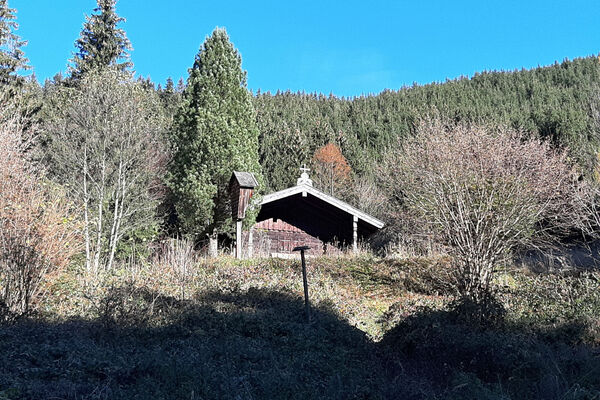
Brünnsteinhaus, Berggasthof Buchau,
- Karttamateriaali
-
Tourist Info Oberaudorf, Bergbahn Hocheck
GPS Downloads


Polun olosuhteet
Asfaltti
Sora
Niitty
Metsä
Kallio
Altistettu
Lisää retkiä alueilla
-
Kufsteinerland
2115
-
Oberaudorf Hocheck
678