© Rainer Zeschik
© Rainer Zeschik
© Rainer Zeschik
© Rainer Zeschik
© Rainer Zeschik
© Rainer Zeschik
© Rainer Zeschik
© Rainer Zeschik
© Rainer Zeschik
© Rainer Zeschik
Retkitiedot
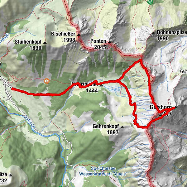
14,07km
886
- 2.191m
1.243hm
1.254hm
09:23h
- Lyhyt kuvaus
-
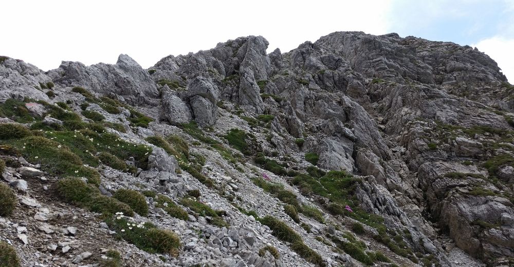
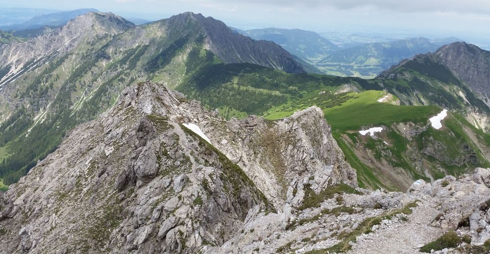
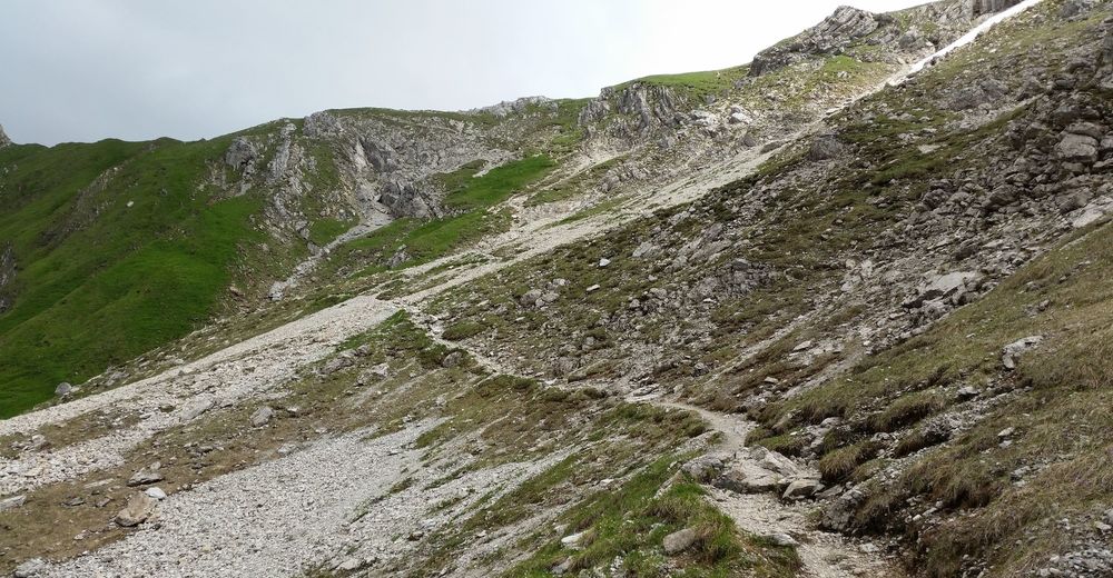
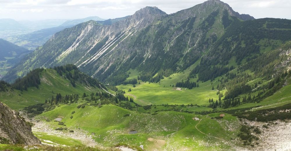
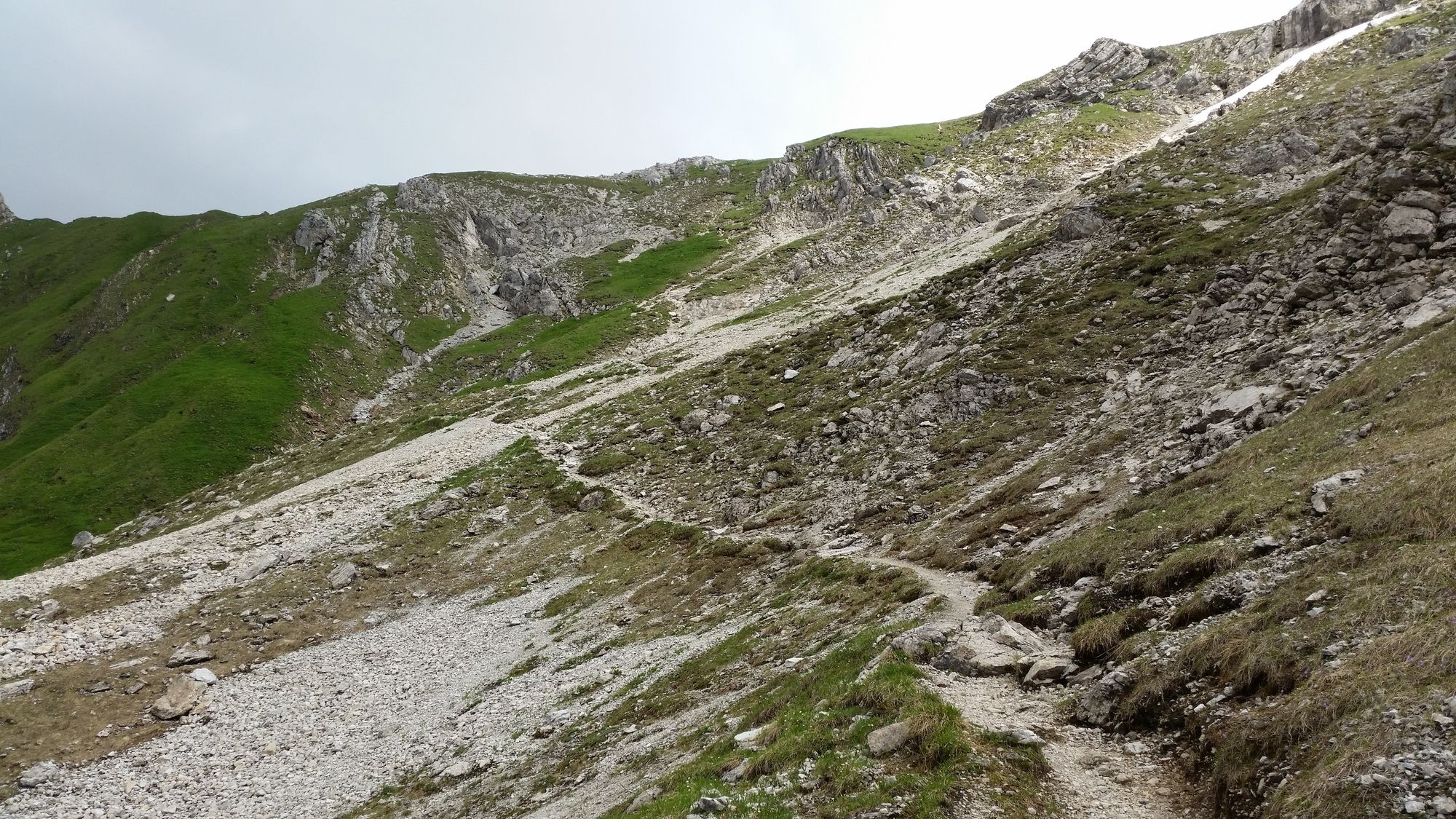
Schöner Rundwanderweg von Hinterstein zum Gaishorn im Tannheimer Tal und zurück!
- Vaikeus
-
tapa
- Arviointi
-
- Lähtöpiste
-
Parkplatz
- Reitti
-
Willersalpe3,5 kmKöllesattel (1.825 m)4,7 kmGaiseck (2.212 m)6,4 kmGaishorn (2.247 m)6,9 kmWillersalpe10,6 km
- Paras kausi
-
tammihelmimaalishuhtitoukokesäheinäelosyyslokamarrasjoulu
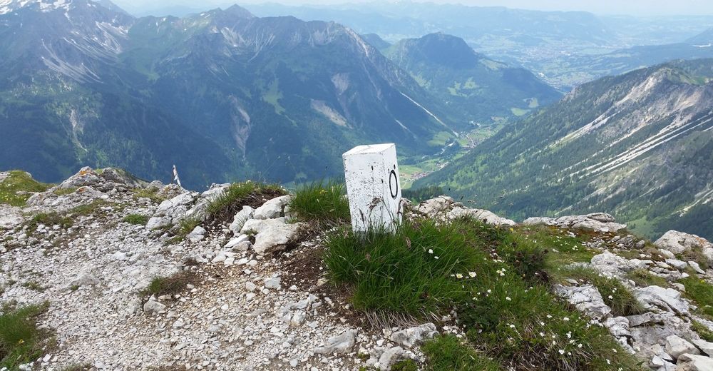
- Korkein kohta
- 2.191 m
- Kohde
-
Gaishorn
- Lepo/Retriitti
-
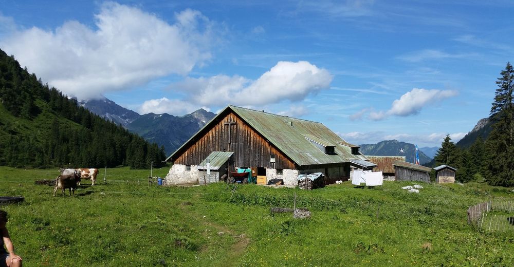
Willersalpe


GPS Downloads


Polun olosuhteet
Asfaltti
Sora
Niitty
Metsä
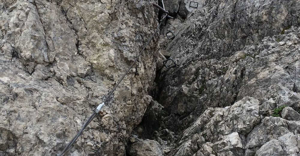
Kallio
Altistettu
(gesamt ca.)
Lisää retkiä alueilla
-
Allgäu
2367
-
Tannheimer Tal
1458
-
Schattwald - Zöblen
503