Retkitiedot
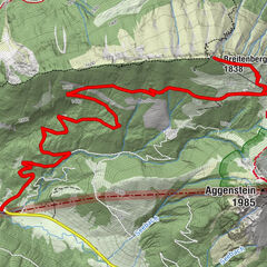
13,67km
791
- 930m
294hm
285hm
03:45h
- Lyhyt kuvaus
-
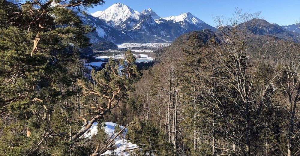
Mooie route met afwisseling en rustmogelijkheden (eten en drinken)
- Vaikeus
-
helppo
- Arviointi
-
- Reitti
-
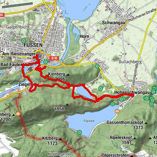
Füssen (808 m)0,1 kmSpitalkirche Hl. Geist0,3 kmMagnusblick0,3 kmAbschied-Jesu-Kapelle0,6 kmUnsere Liebe Frau am Berg0,7 kmStation 10,8 kmAltstadt Panorama1,2 kmStation 21,6 kmStation 31,8 kmMarienkapelle1,9 kmStation 41,9 kmStation 52,0 kmStation 72,0 kmStation 62,0 kmStation 82,1 kmStation 102,3 kmKerkerkapelle2,3 kmStation 92,3 kmStation 112,3 kmStation 14 Heiliggrab-Kapelle2,3 kmStation 132,3 kmStation 122,3 kmHeiligkreuz-Kapelle2,3 kmKalvarienberg (953 m)2,4 kmBlick über den Schwansee4,2 kmHohenschwangau6,7 kmLechfall12,2 kmBad Faulenbach12,5 kmSt. Max12,7 kmSchmerzensmannkapelle12,8 kmPfarrkirche St. Mang13,2 kmSpitalkirche Hl. Geist13,3 kmFüssen (808 m)13,5 km
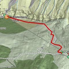
- Korkein kohta
- 930 m

GPS Downloads


Lisää retkiä alueilla
-
Allgäu
167
-
Naturparkregion Reutte
140
-
Füssen
61