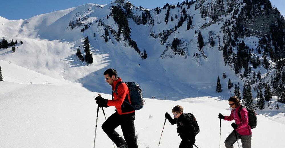
© Stockhornbahn AG
© Unbekannt - Stockhornbahn AG
© Stockhornbahn AG
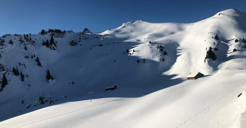
© Unbekannt - Stockhornbahn AG


- Lyhyt kuvaus
-
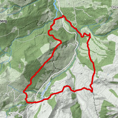
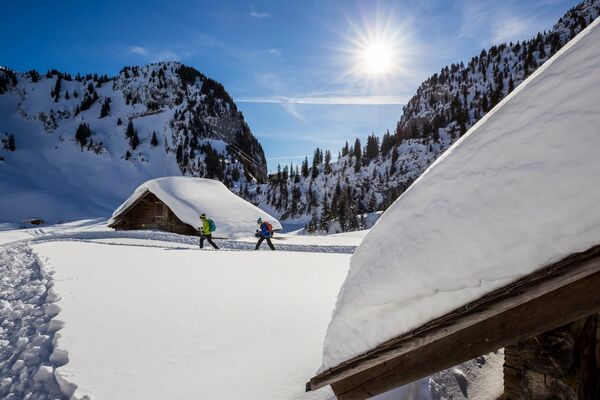
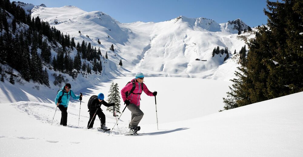
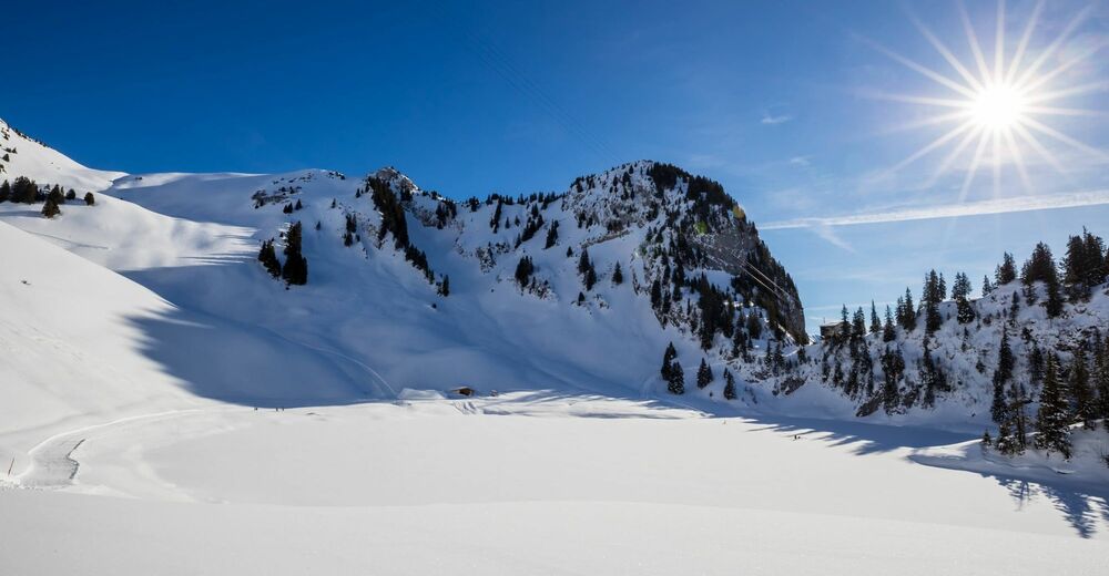
A wonderful circular hike in the Stockhorn area!
- Vaikeus
-
tapa
- Arviointi
-
- Reitti
-
Chrindi (1.649 m)0,0 kmCheibehore (1.952 m)2,7 kmBerggasthaus Oberstockenalp4,9 km
- Paras kausi
-
elosyyslokamarrasjoulutammihelmimaalishuhtitoukokesäheinä
- Korkein kohta
- 1.910 m
- Kohde
-
Chrindi
- Korkeusprofiili
-
 © outdooractive.com


-

-
KirjoittajaKiertue Around the Cheibehorn on the Stockhorn käyttää outdooractive.com toimitettu.
GPS Downloads


Yleistä tietoa
Sisäpiirin vinkki
Lisää retkiä alueilla