
- Arviointi
-
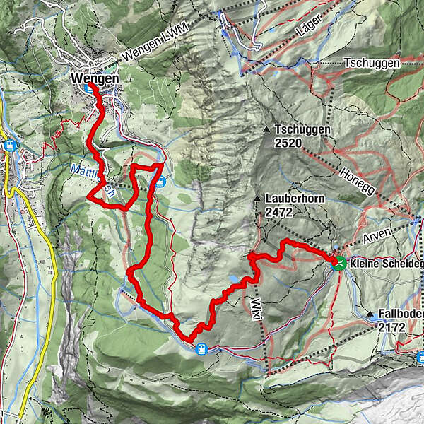
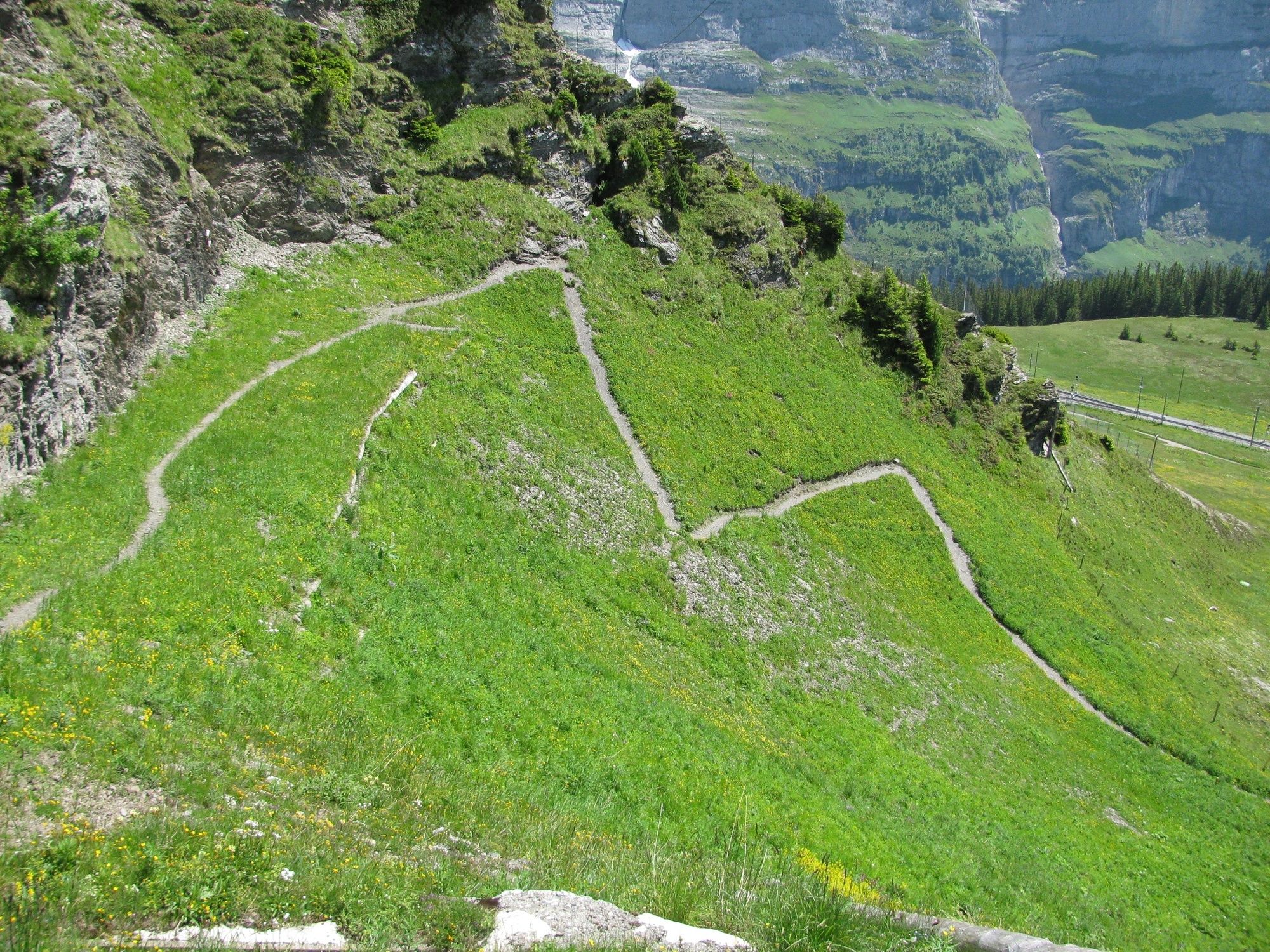
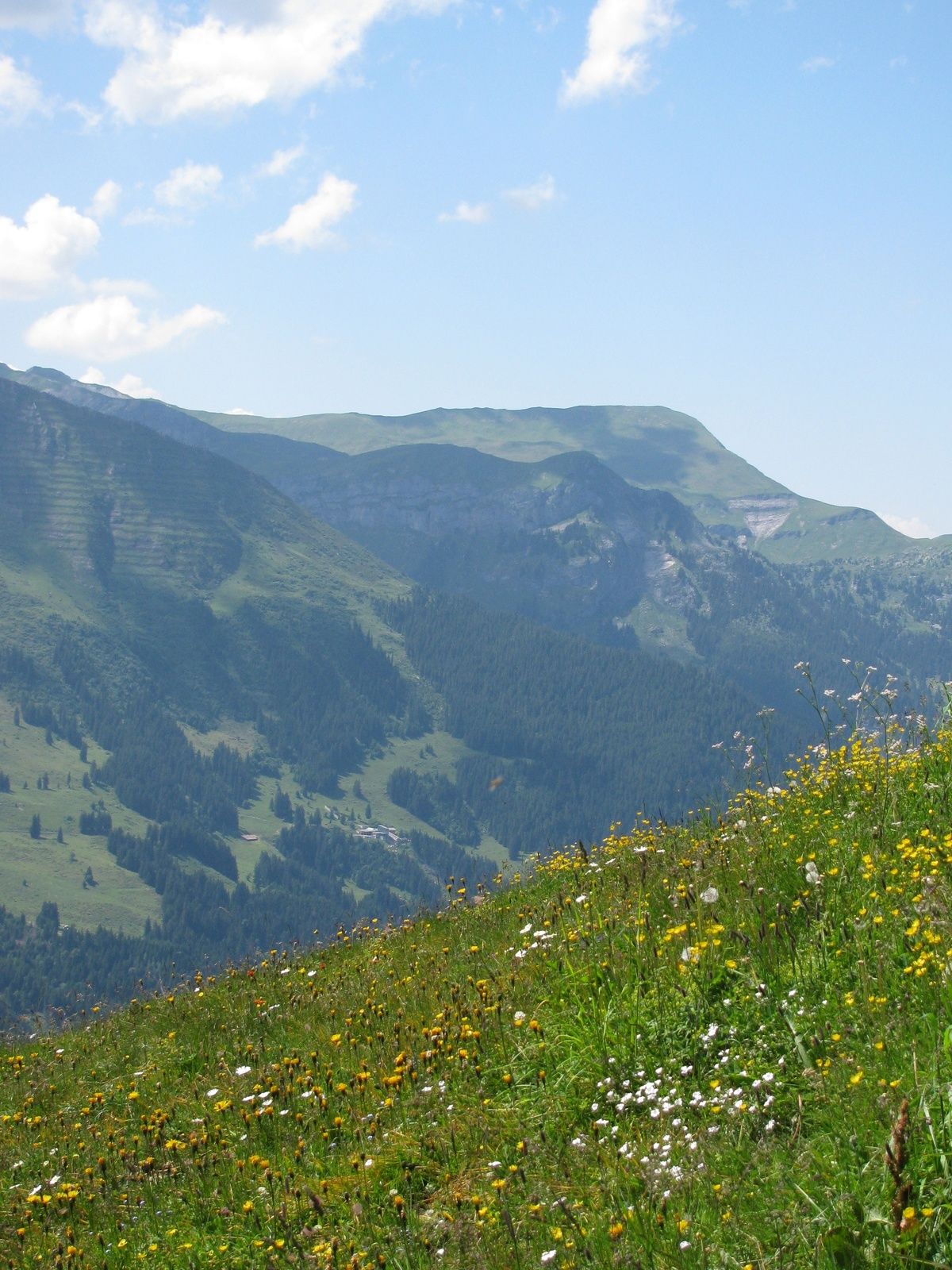
- Reitti
-
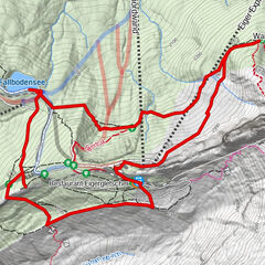
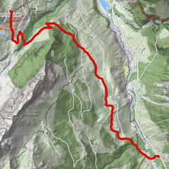
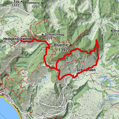
Bergrestaurant Kleine Scheidegg0,0 kmKleine Scheidegg0,0 kmHannegg5,0 kmBergrestaurant Allmend6,3 kmIm oberen Schiltwald7,9 kmHaslerra8,2 kmAuf dem Melk8,3 kmLedi8,3 kmIm Boden8,3 kmIm Schloss8,4 kmUnter der Haussengg8,6 kmAuf der Blatten8,7 kmKneuweidli8,9 kmStutzweidli9,1 kmGauchegg9,2 kmBätzenboden9,3 kmRoossi9,4 kmAm Lehn9,5 kmSchluecht9,5 kmÄllisbühl9,6 kmAm Acher9,6 kmSchonegg9,6 kmSengg9,6 kmGlausfuhren9,7 kmGruebi beim Falken9,7 kmWengen9,8 kmRestaurant Eiger (1.276 m)9,9 kmGertschlimatte9,9 km
- Paras kausi
-
tammihelmimaalishuhtitoukokesäheinäelosyyslokamarrasjoulu
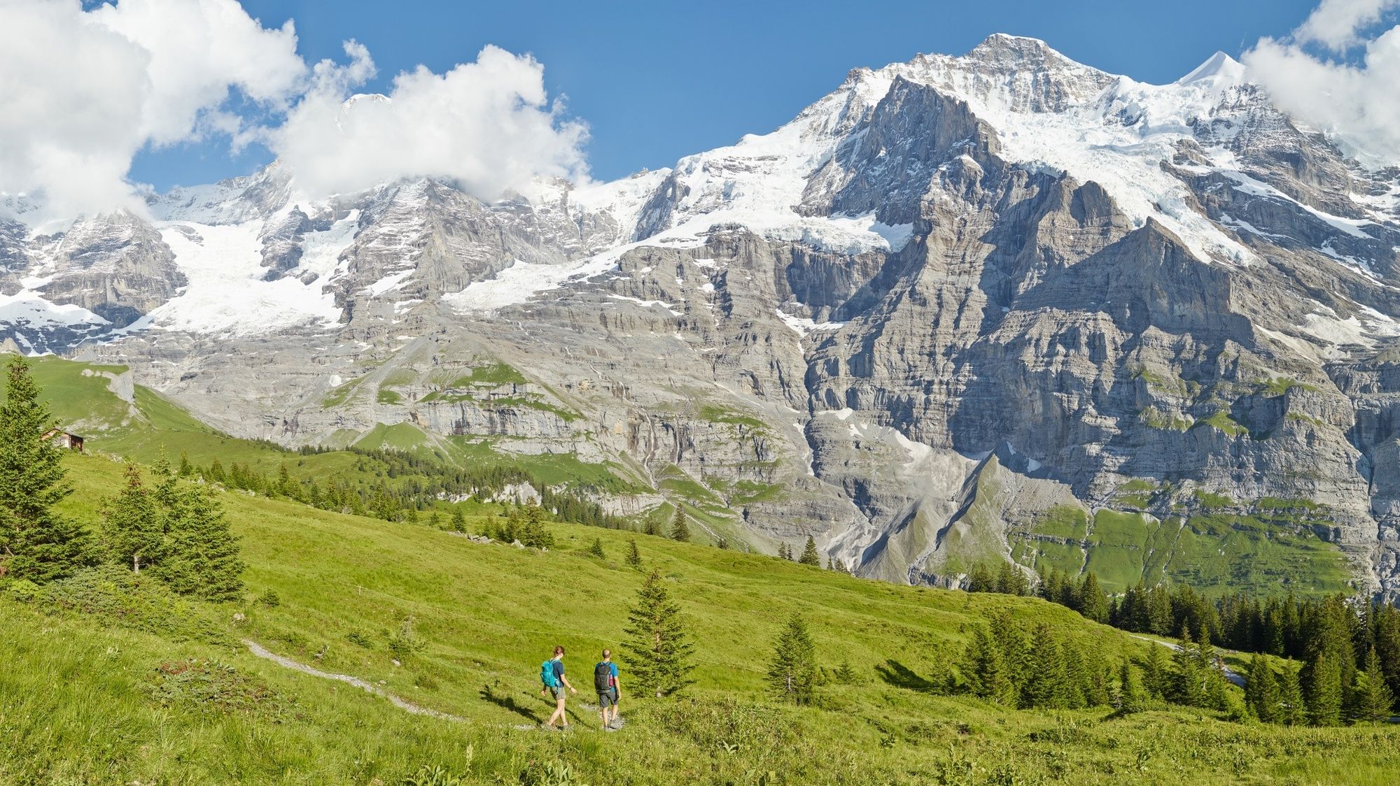
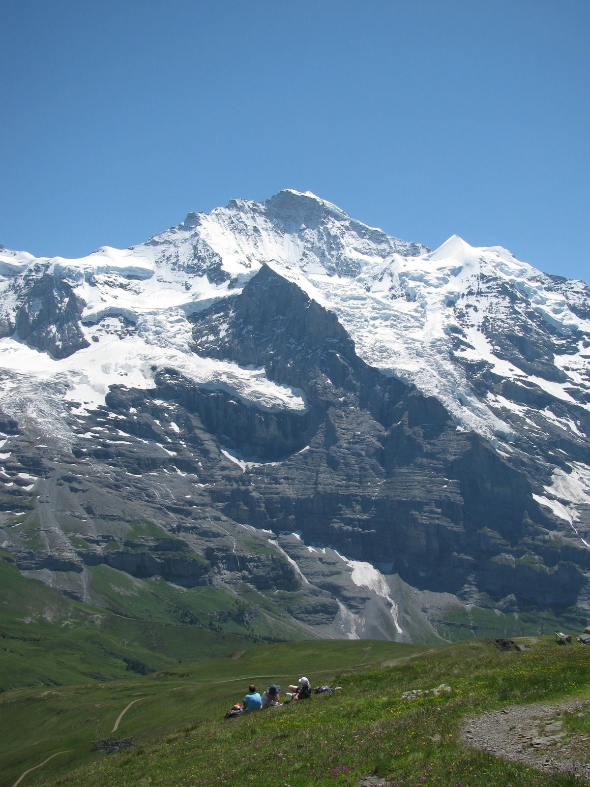
- Korkein kohta
- 2.309 m
- Kohde
-
Bahnhof Wengen, Station der Wengernalpbahn
- Korkeusprofiili
-
 © outdooractive.com


- Kirjoittaja
-
Kiertue Lauberhorn Trail käyttää outdooractive.com toimitettu.
GPS Downloads


Yleistä tietoa
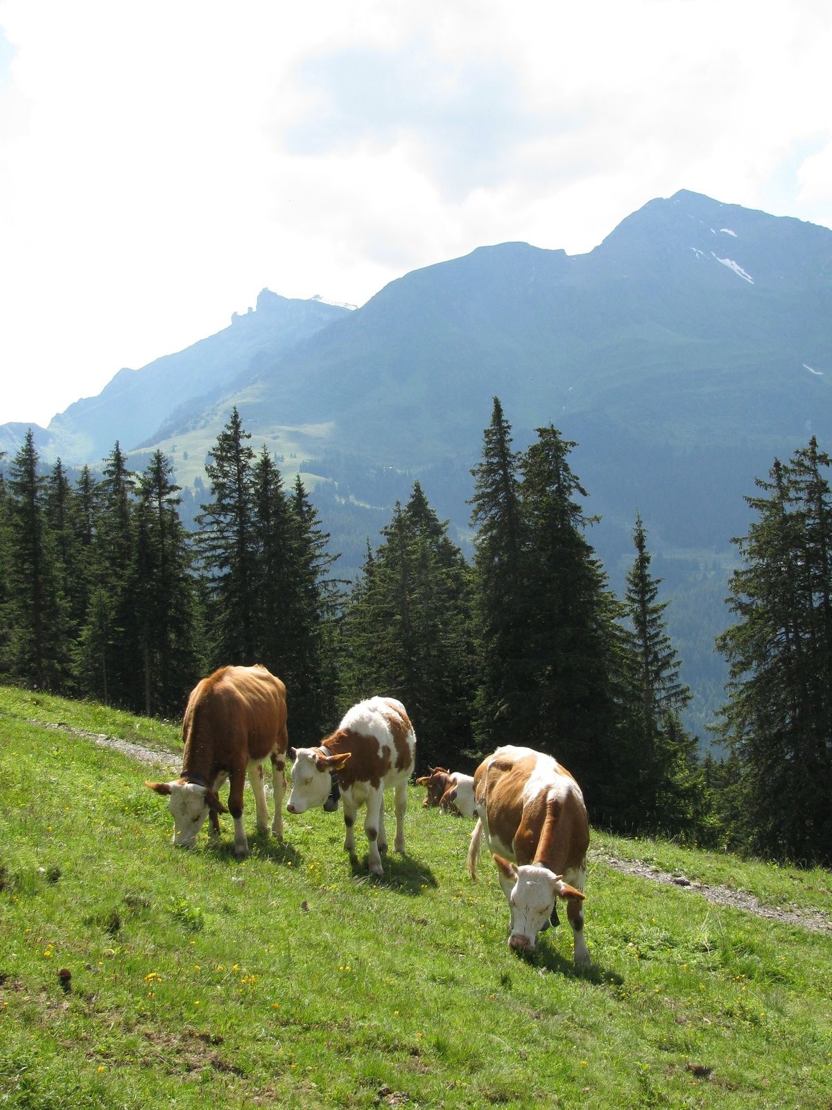
Virvokepysäkki
Lupaava
Lisää retkiä alueilla
-
Aletsch Arena
1471
-
Jungfrau Region
1007
-
Lauterbrunnen
427