

© Interlaken Tourismus - Melanie Studer

© Interlaken Tourismus - Melanie Studer

- Lyhyt kuvaus
-
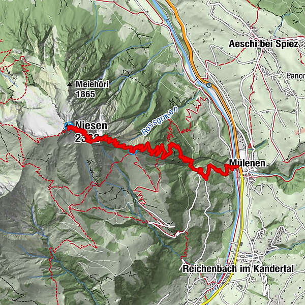
A long, challenging mountain hike with an elevation gain of 1,700 metres that takes you from Mülenen, via the Schwandegg midway station and on to the Niesen. For a less strenuous option, complete the first section by train, which reduces elevation gain by 1,000 metres.
- Vaikeus
-
vaikea
- Arviointi
-
- Reitti
-
Mülenen (692 m)Schwandegg (1.680 m)4,9 kmGlogghore (1.984 m)6,0 kmGedenktafel Präsidenten Niesenbahn6,2 kmNiesen (2.362 m)7,7 kmNiesen Kulm (2.336 m)7,7 km
- Paras kausi
-
tammihelmimaalishuhtitoukokesäheinäelosyyslokamarrasjoulu
- Korkein kohta
- 2.324 m
- Kohde
-
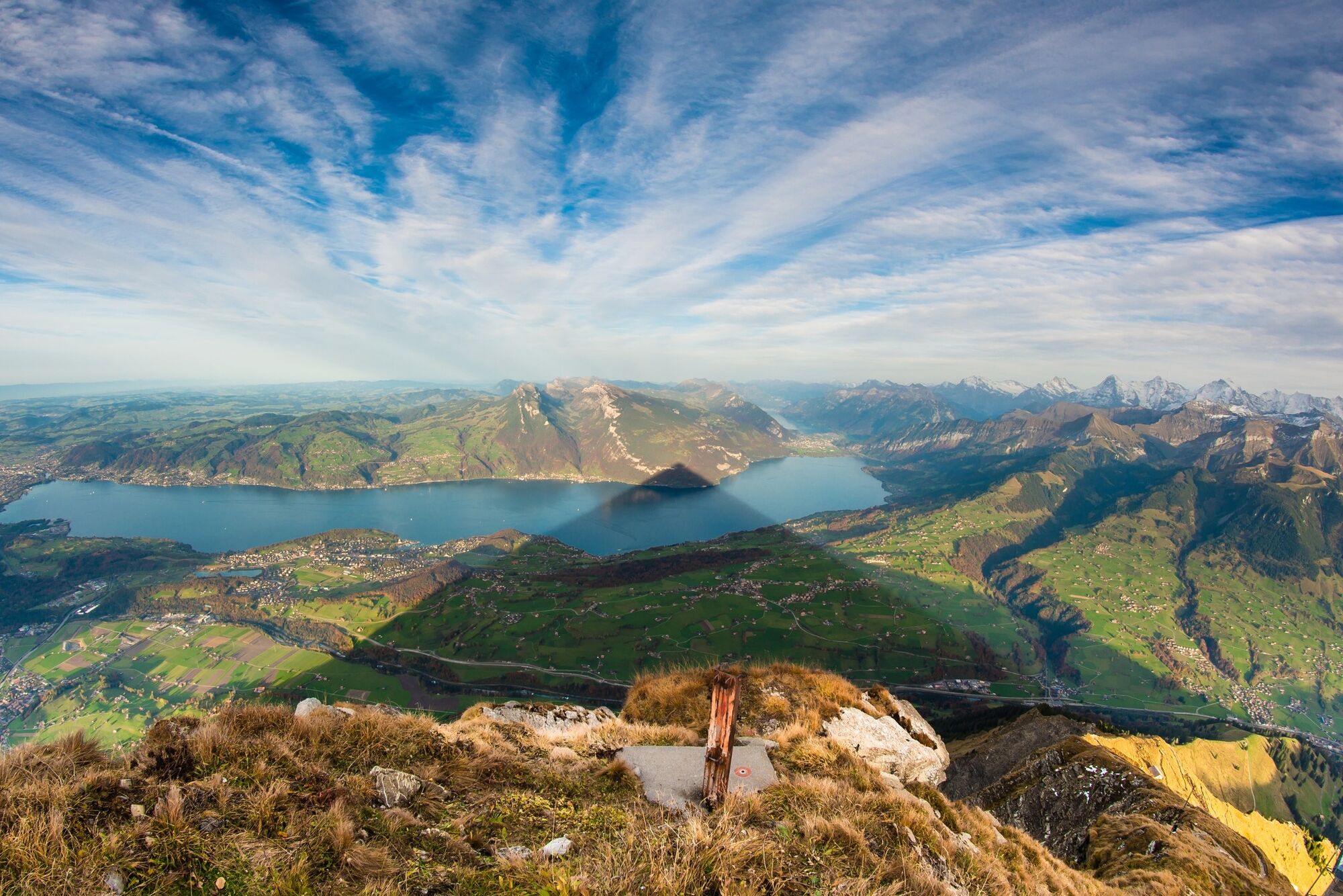
Niesen Kulm
- Korkeusprofiili
-
 © outdooractive.com
- Kirjoittaja
-
Kiertue Panorama trail from Mülenen to the Niesen käyttää outdooractive.com toimitettu.
GPS Downloads


Yleistä tietoa
Virvokepysäkki
Lupaava
Lisää retkiä alueilla
-
Oberwallis
1871
-
Thunersee
1066
-
Aeschi bei Spiez
290


