- Lyhyt kuvaus
-
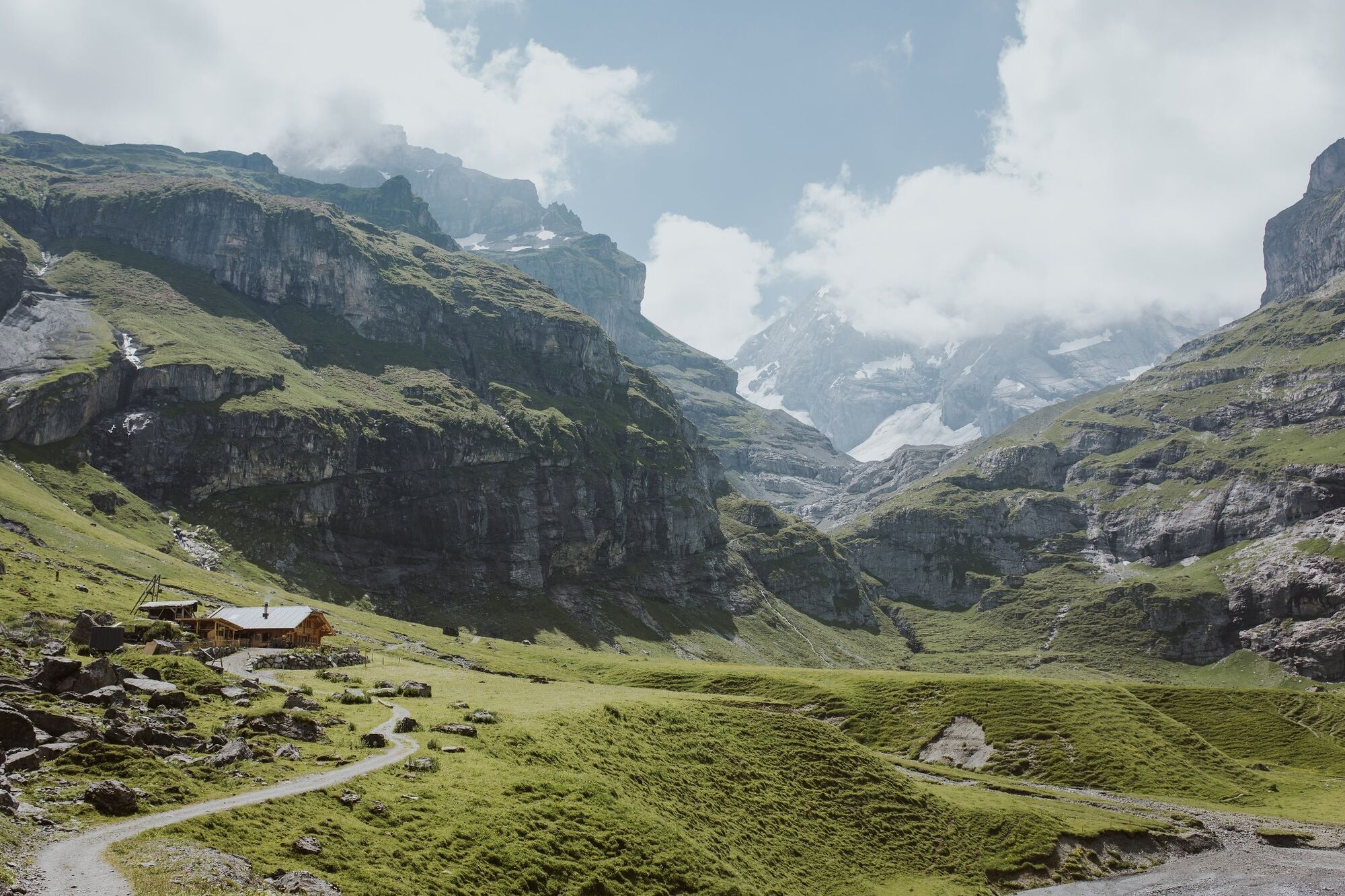
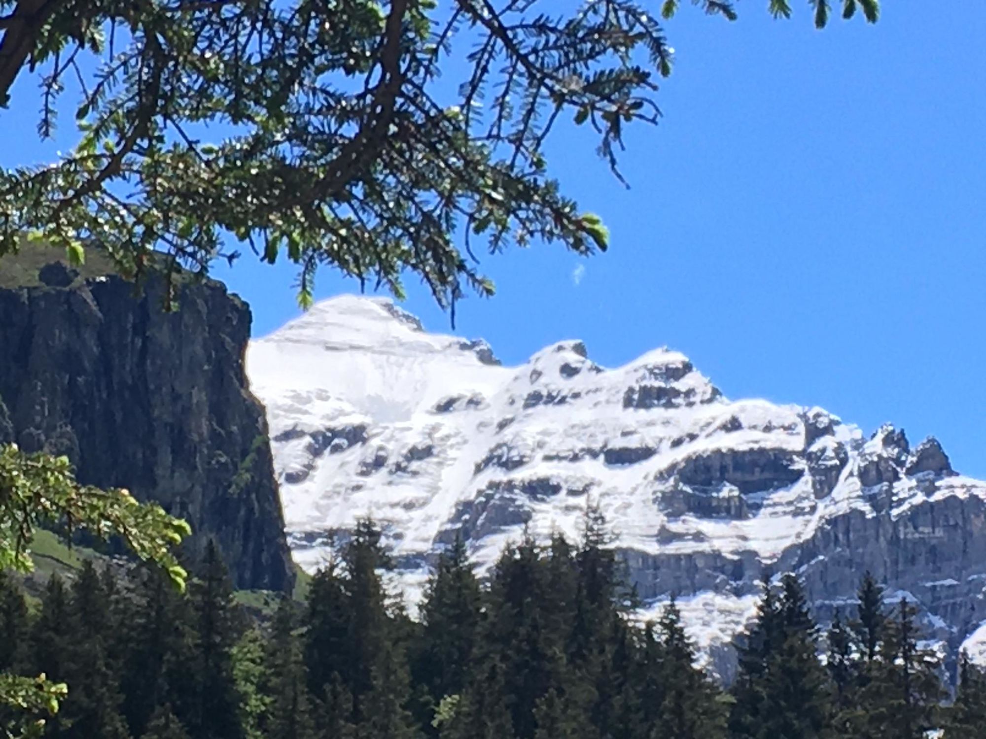
It would seem that the journey by post bus to Griesalp cannot be bettered – after all, it is the steepest route of its kind in Europe. However, the hiker still has around four hours to discover the natural beauty of the UNESCO World Heritage Site on a straight pathway up to the Swiss Alpine Club hut at 2455 m (8054 ft.) above sea level.
- Vaikeus
-
vaikea
- Arviointi
-
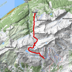
- Reitti
-
Griesalp0,0 kmGorneren0,3 kmSteinenberg0,7 kmGamchi3,5 km
- Paras kausi
-
tammihelmimaalishuhtitoukokesäheinäelosyyslokamarrasjoulu
- Korkein kohta
- 2.463 m
- Kohde
-
Gspaltenhornhütte
- Korkeusprofiili
-
 © outdooractive.com

-

-
KirjoittajaKiertue Griesalp - Gamchi - Gspaltenhornhütte käyttää outdooractive.com toimitettu.
GPS Downloads


Lisää retkiä alueilla
-
Oberwallis
1872
-
Ferienregion Kandertal
1104
-
Kiental
266