© Interlaken Tourismus - Melanie Studer

© Interlaken Tourismus - Melanie Studer

© Interlaken Tourismus - Melanie Studer

© Interlaken Tourismus - Melanie Studer


- Lyhyt kuvaus
-
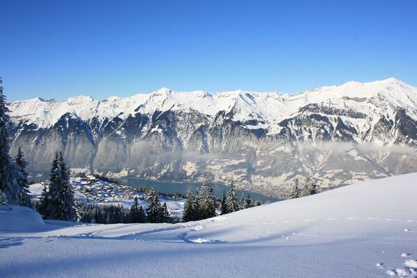
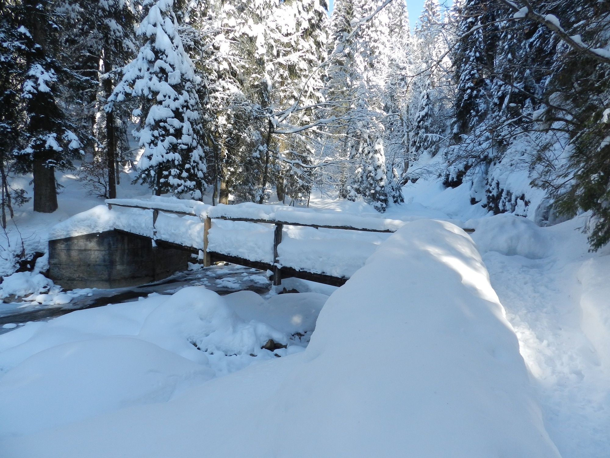
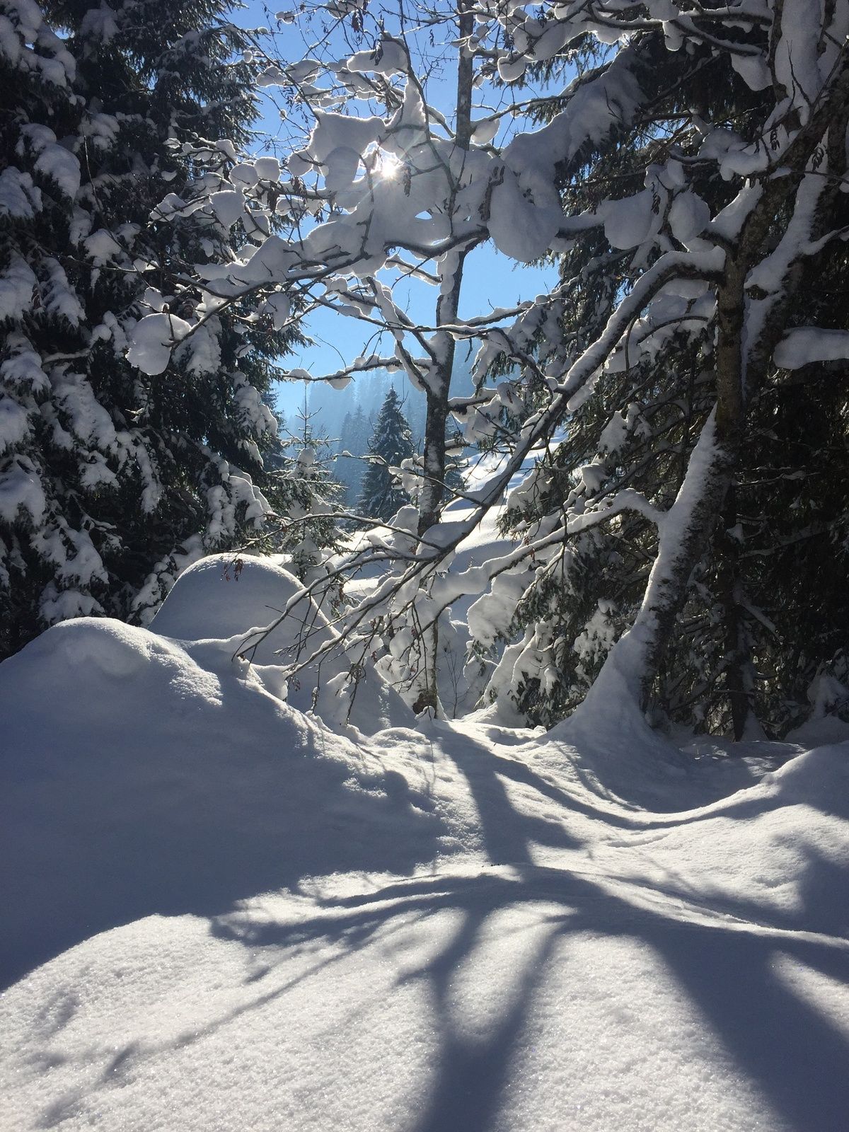
A winter hiking paradise around the small mountain farming village of Habkern, at the foot of the Hohgant and Sieben Hengste peaks, where eagles and lynx dwell. This area, also the source of the Emme River, offers a wealth of impressive views.
- Vaikeus
-
helppo
- Arviointi
-
- Reitti
-
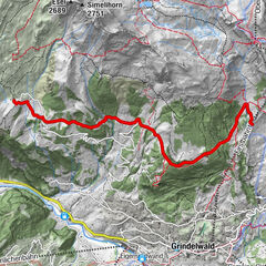
GruebiGasthof BärenBärenmatteNeuenstadelHabkern0,0 kmIm Holz0,0 kmFahrenbühl0,1 kmHolzmatte0,1 kmTraubenegg0,4 kmBolsiten (1.111 m)1,0 kmBeim Kreuz2,8 kmWolfbach3,4 kmIm Haag3,6 kmLohalten3,7 kmMoosgaden3,9 kmZäundli3,9 kmTraubenegg4,0 kmFahrenbühl4,0 kmNeuenstadel4,1 kmBärenmatte4,1 kmIm Holz4,1 kmHolzmatte4,2 kmHabkern4,2 kmGasthof Bären4,2 kmGruebi4,3 km
- Paras kausi
-
elosyyslokamarrasjoulutammihelmimaalishuhtitoukokesäheinä
- Korkein kohta
- 1.139 m
- Kohde
-
Post, Habkern
- Korkeusprofiili
-
 © outdooractive.com


- Kirjoittaja
-
Kiertue Habkern walkabout käyttää outdooractive.com toimitettu.
GPS Downloads


Yleistä tietoa
Virvokepysäkki
Lupaava
Lisää retkiä alueilla
-
Obwalden
146
-
Interlaken
102
-
Habkern
19