© bueschlen-bikesport.ch
- Lyhyt kuvaus
-
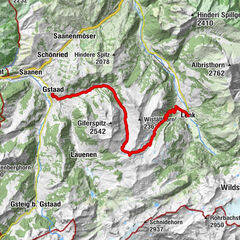
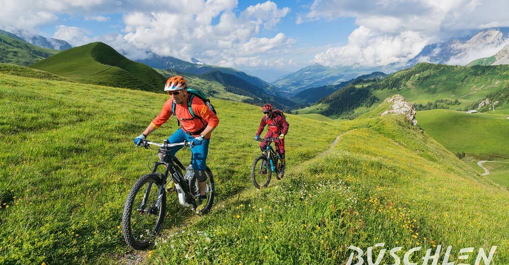
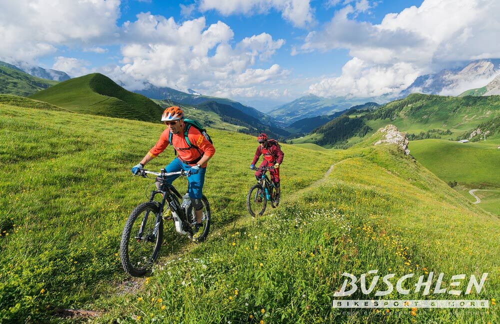
Technically easy tour, which turns out to be exciting and varied. It offers an impressive panorama from Gsür over Albristhorn and from Wildstrubel to Lohner.
- Vaikeus
-
tapa
- Arviointi
-
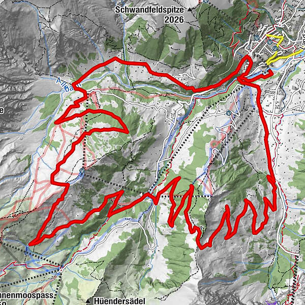
- Reitti
-
Oey0,3 kmAdelboden (1.350 m)1,2 kmStiegelschwand2,8 kmChüebodmi9,1 kmBärgläger14,3 kmBergläger (1.356 m)14,3 kmStierenberg14,8 kmTronegg (1.896 m)18,5 kmBodenkapelle24,7 kmBoden24,8 km
- Paras kausi
-
tammihelmimaalishuhtitoukokesäheinäelosyyslokamarrasjoulu
- Korkein kohta
- 1.928 m
- Kohde
-
Adelboden, village
- Korkeusprofiili
-
 © outdooractive.com
- Kirjoittaja
-
Kiertue Bike route no.5 Sillerenbühl-Troneggrat käyttää outdooractive.com toimitettu.
GPS Downloads


Yleistä tietoa
Virvokepysäkki
Lisää retkiä alueilla
-
Oberwallis
213
-
Adelboden
139
-
Frutigen
37