© Unbekannt

© Unbekannt

© Unbekannt

© Unbekannt
- Lyhyt kuvaus
-
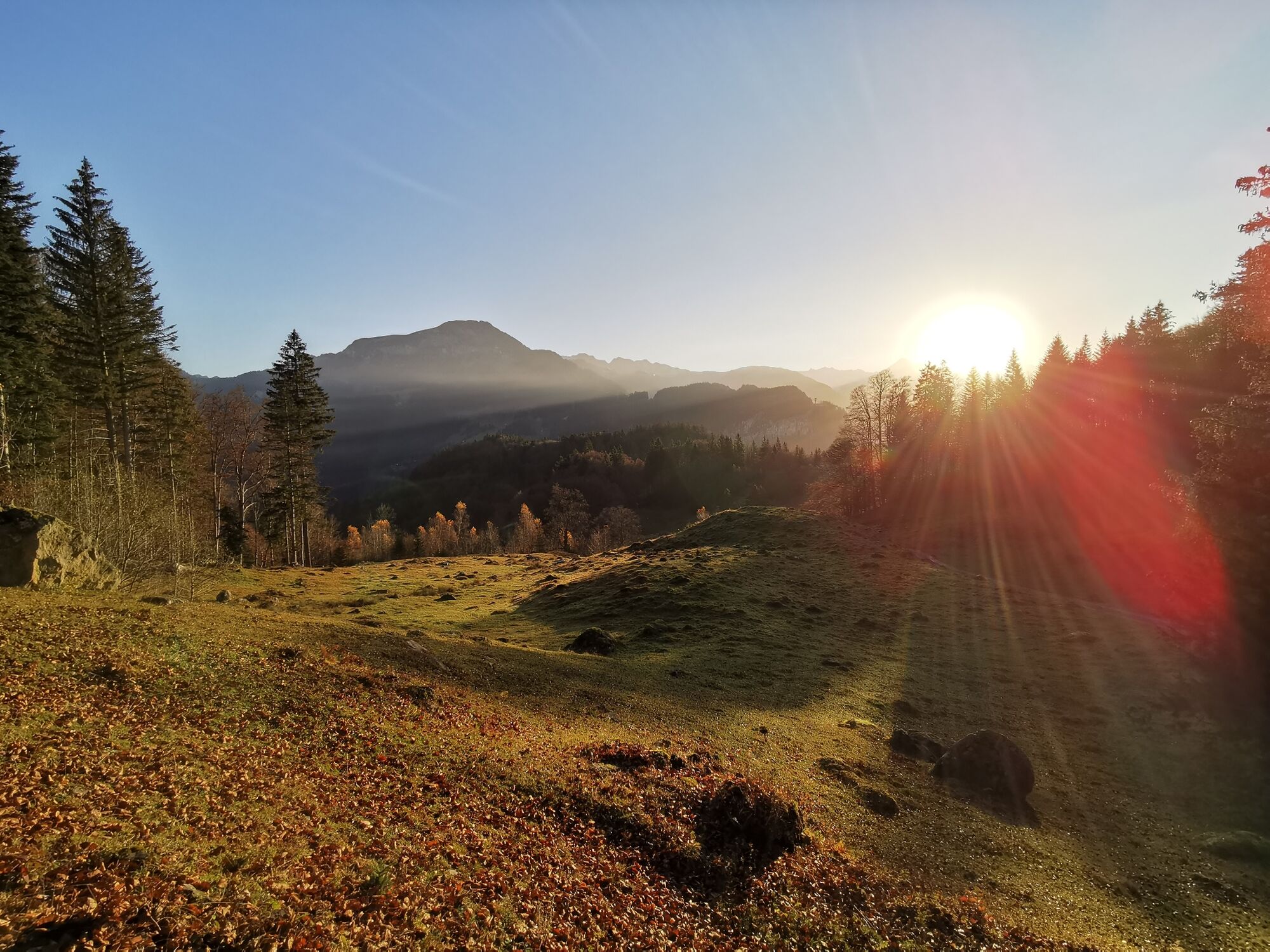
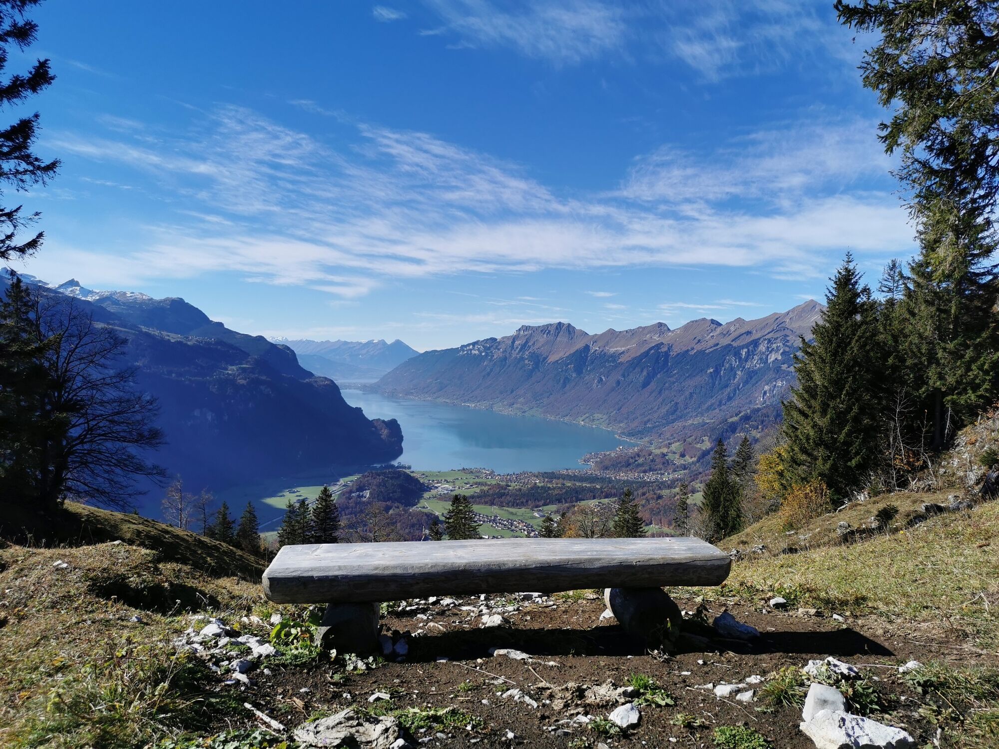
Brüniger Älpeli in the morning light
- Vaikeus
-
tapa
- Arviointi
-
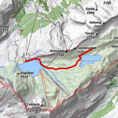
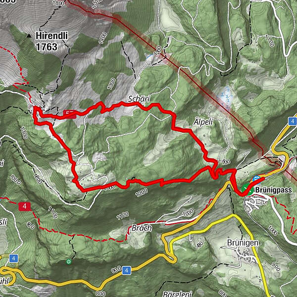
- Reitti
-
Brünig-Hasliberg0,0 kmPasshöhe 10130,1 kmBrünigpass (1.005 m)0,2 kmBrünig0,4 kmSchäri4,3 kmBrünig6,0 kmBrünigpass (1.005 m)6,2 kmPasshöhe 10136,2 kmBrünig-Hasliberg6,3 km
- Paras kausi
-
tammihelmimaalishuhtitoukokesäheinäelosyyslokamarrasjoulu
- Korkein kohta
- 1.411 m
- Kohde
-
Brünig-Hasliberg
- Korkeusprofiili
-
 © outdooractive.com

- Kirjoittaja
-
Kiertue View from Wiler Vorsass to the Oberland Fjord käyttää outdooractive.com toimitettu.
GPS Downloads


Lisää retkiä alueilla
-
Obwalden
2014
-
Haslital
895
-
Brienzwiler
302