© Tourismusverband Nordburgenland - Velontour_Nordburgenland_©velontour

© Tourismusverband Nordburgenland - Podersdorf Tourismus/Manfred Schwarz

© Tourismusverband Nordburgenland - Neusiedler See Tourismus/motionmanager.at

© Tourismusverband Nordburgenland - Burgenland Tourismus_stills&emotions

© Tourismusverband Nordburgenland - Burgenland Tourismus_stills&emotions

© Tourismusverband Nordburgenland - Neusiedler See Tourismus/Göschl

© Tourismusverband Nordburgenland - Burgenland Tourismus_stills&emotions

- Lyhyt kuvaus
-
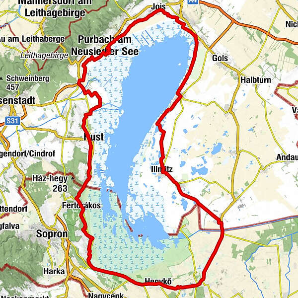
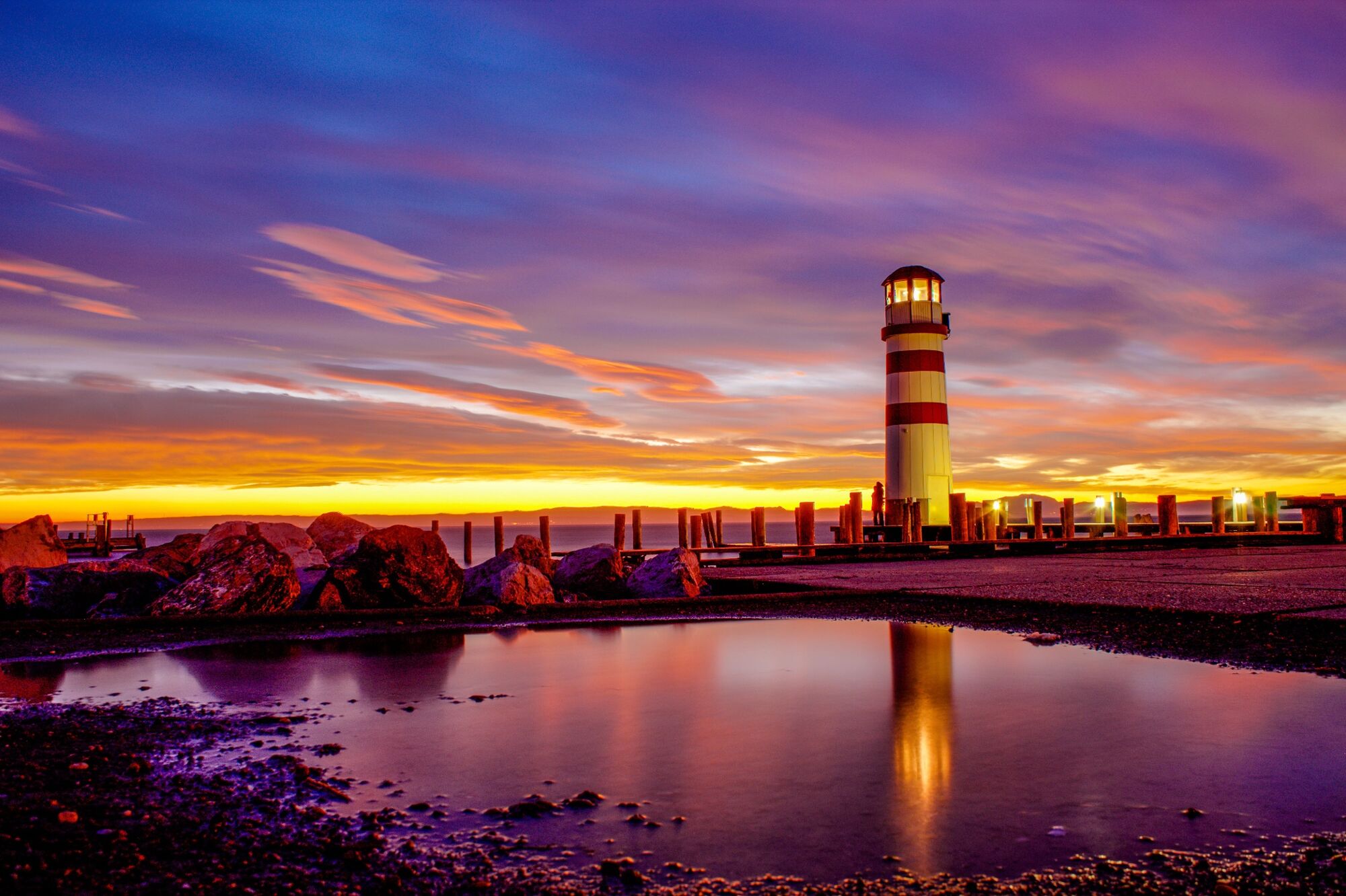
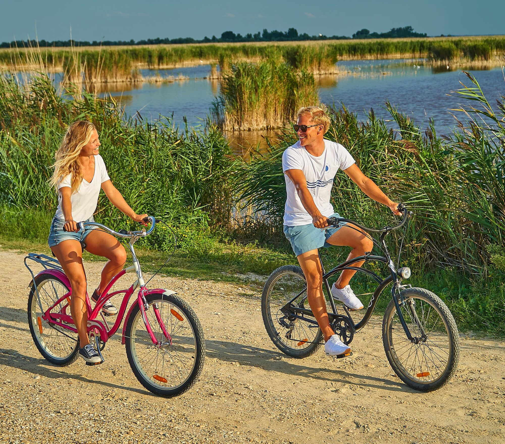
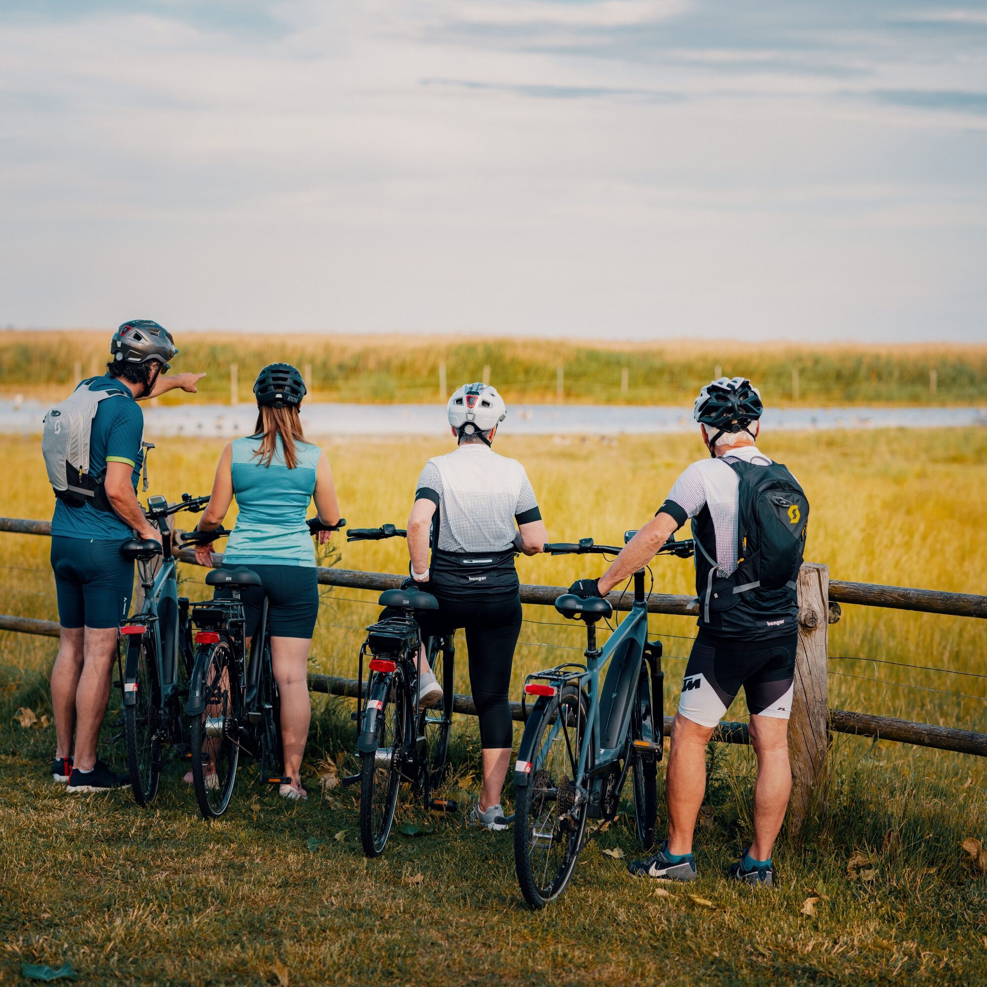
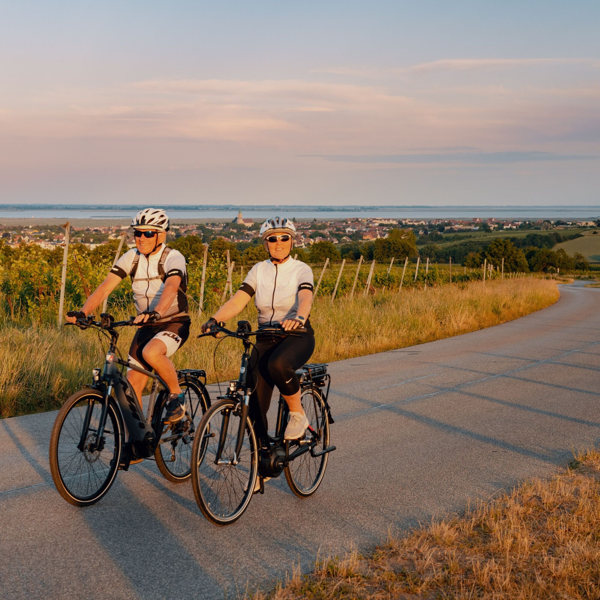
The Lake Neusiedl Cycle Trail (B10) is particularly suitable for families and pleasure cyclists. There are numerous spots for culinary enthusiasts and wine-lovers dotted around the lake, just waiting to be discovered. Gentle ascents along the route and ferry connections between the east and west shore make this cycling tour a leisurely excursion in the heart of nature.
125 km, 41.5 km of which on the Hungarian side
The Austrian side is especially suitable for families
Very few ascents between Mörbisch and Oggau, but steep climbs on the Hungarian side between Balf & Fertörákos
- Vaikeus
-
tapa
- Arviointi
-
- Reitti
-
Neusiedl am See (131 m)Weiden am See2,2 kmAussichtsturm Zitzmannsdorfer Wiesen6,3 kmPodersdorf am See10,8 kmGeorgshof12,7 kmWeingut Hölle15,2 kmGeißelsteller22,0 kmIllmitz (117 m)23,6 kmLacke südwestliches Illmitz24,0 kmAntoniuskapelle26,2 kmPfarrkirche Apetlon26,6 kmApetlon (120 m)26,9 kmRadlertreff Klinger28,6 kmPamhagen (121 m)31,6 kmWirtshaus zum Türkenturm34,7 kmNyárliget39,5 kmMariann büfé39,5 kmGránátos Étterem44,3 kmBaross-telep44,6 kmFertőd44,7 kmPince Pizzéria & Pub44,9 kmEsterhaus45,0 kmLászlófogadó45,2 kmSchlippach47,1 kmSaint Michael Church50,6 kmHeiligenstein50,6 kmSzent Anna-templom52,7 kmAmhagen52,7 kmKleinandrä54,6 kmKözségi forrás54,7 kmHolling57,7 kmBozi Rozi Csárda57,9 kmNagy-forrás58,0 kmKis-forrás58,2 kmÓvodai forrás58,2 kmWolfs60,8 kmBalfi evangélikus templom61,2 kmRégi savanyúkút62,2 kmBalfi Új savanyúkút62,4 kmÖdenburg66,9 kmKis kápolna70,0 kmHuber Borozó70,3 kmKroisbach70,5 kmGasthaus Panzió70,6 kmChurch of the Ascension of the Lord70,7 kmKőfejtő71,8 kmMörbisch am See (122 m)75,4 kmChristuskirche75,5 kmPfarrkirche „Zur Kreuzerhöhung“75,5 kmRust (123 m)80,7 kmKreuzkapelle85,0 kmGut Oggau85,3 kmOggau am Neusiedler See (130 m)85,5 kmHerztröpferl85,6 kmSüdwindschenke87,8 kmSeehof92,8 kmPurbach am Neusiedlersee100,9 kmPurbach am Neusiedler See (128 m)102,4 kmPfarrkirche hl. Florian108,5 kmWinden am See108,6 kmZum Weitzer108,6 kmBacchuskeller108,7 kmHexenbründl109,7 kmHerz-Jesu-Kirche111,5 kmJois111,7 kmNeusiedler Czarda113,7 kmNeusiedl am See (131 m)116,0 km
- Paras kausi
-
tammihelmimaalishuhtitoukokesäheinäelosyyslokamarrasjoulu
- Korkein kohta
- 175 m
- Kohde
-
Neusiedl am See
- Korkeusprofiili
-


- Kirjoittaja
-
Kiertue Lake Neusiedl Cycle Trail käyttää outdooractive.com toimitettu.
GPS Downloads


Yleistä tietoa
Virvokepysäkki
Flora
Fauna
Lupaava
Lisää retkiä alueilla
-
Neusiedler See
64
-
Illmitz
18