Retkitiedot
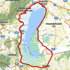
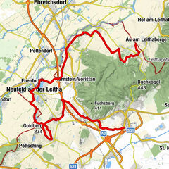
47,29km
112
- 248m
294hm
286hm
03:40h

- Vaikeus
-
tapa
- Arviointi
-
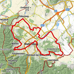
- Lähtöpiste
-
Bahnhof Drassburg
- Reitti
-
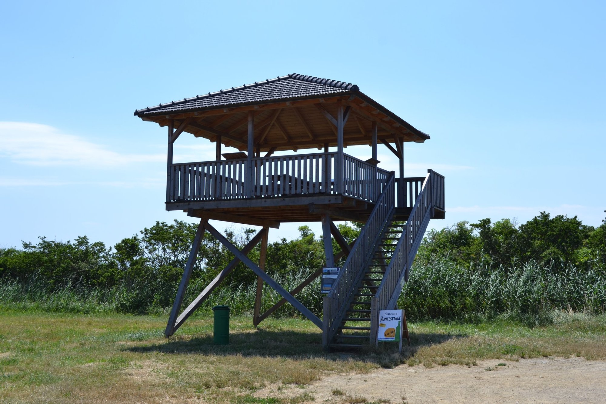
Zagersdorf1,9 kmPfarrkirche hl. Johannes der Täufer2,3 kmGasthaus "Gegi" Freiberger2,6 kmKlingenbach5,1 kmMörbisch am See (122 m)15,8 kmRust (123 m)25,3 kmKogelkapelle29,5 kmKogel (224 m)29,6 kmSiegendorf41,5 kmJohann Nepomuk-Kapelle41,6 kmCharly's41,7 kmDa Rohrer - Gourmet Meatloaf Manufactory41,9 kmGasthaus Karlich43,0 kmGasthaus "Gegi" Freiberger44,4 kmZagersdorf44,8 kmPfarrkirche hl. Johannes der Täufer44,8 km
- Paras kausi
-
tammihelmimaalishuhtitoukokesäheinäelosyyslokamarrasjoulu
- Korkein kohta
- 248 m
- Kohde
-
Bahnhof Drassburg