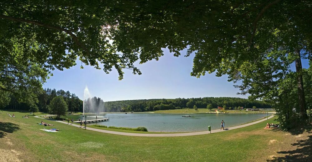
Marktgemeinde Ritzing
Retkitiedot
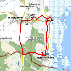
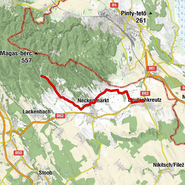
15,78km
181
- 405m
213hm
213hm
01:24h
- Vaikeus
-
tapa
- Arviointi
-
- Lähtöpiste
-
Bahnhof Deutschkreutz
- Reitti
-
Deutschkreutz0,0 kmDeutschkreutz0,3 kmSiedlung Hauswiesen1,3 kmFriedhofskapelle7,6 kmNeckenmarkt7,8 kmRitzing12,8 km
- Paras kausi
-
tammihelmimaalishuhtitoukokesäheinäelosyyslokamarrasjoulu
- Korkein kohta
- 405 m
- Kohde
-
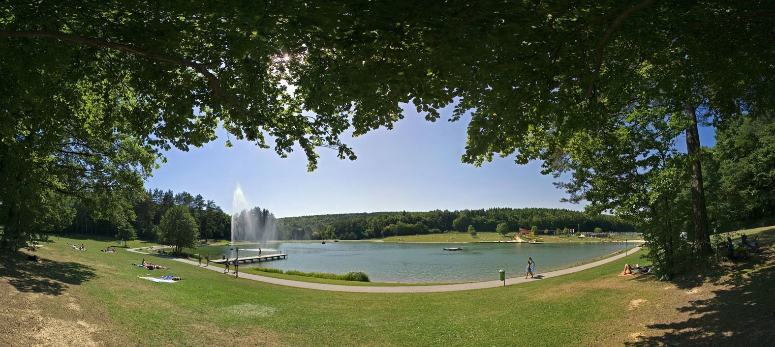
Bitte vorab Öffnungszeiten prüfen.
www.sonnenseelounge.com/home.html