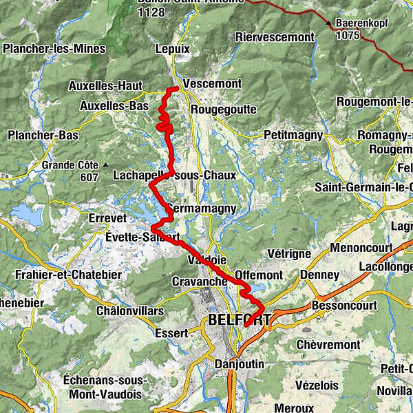
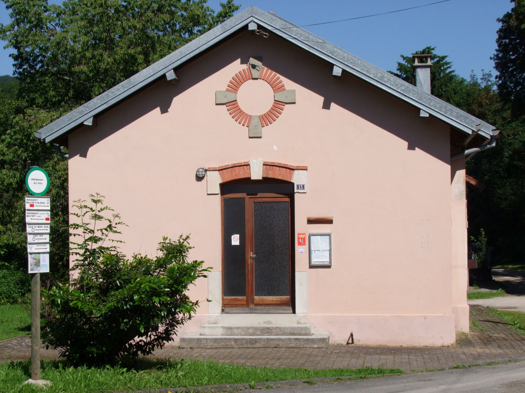
Crossing the Vosges Mountains - Stage 19 - Giromagny - Belfort


© Massif des Vosges - © INFRA - Massif des Vosges

© Massif des Vosges - OT Belfort

© Massif des Vosges - Belfort Tourisme

© Massif des Vosges - Guillaume BERNARD

© FFRandonnée

© Massif des Vosges - ERA


- Lyhyt kuvaus
-
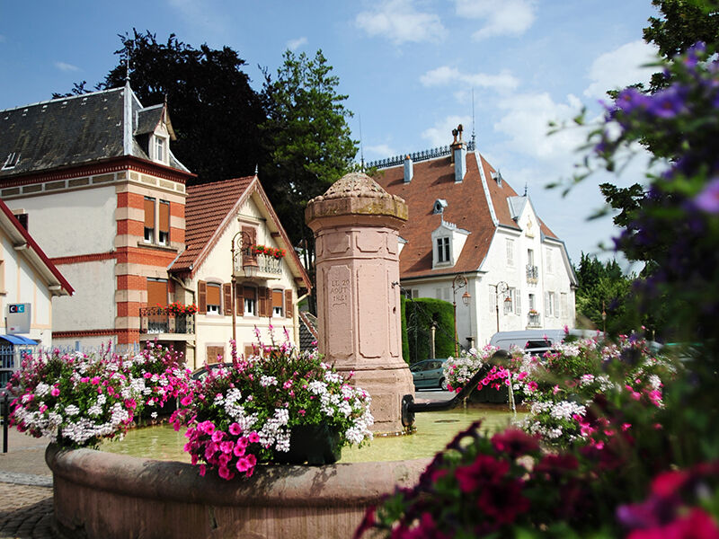
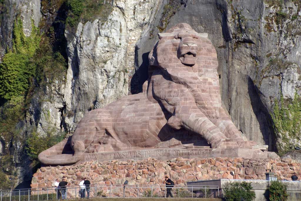
Make your way to Belfort along Malsaucy Lake, offering water sports in a protected natural setting. On its banks is the department’s Environment Centre dedicated to environmental awareness and education. You'll arrive in Belfort via the citadel, protected by the Lion of Belfort, a colossal sculpture measuring 22 m long and 11 m high. It is the symbol of the heroic resistance of the city during the assault of 1870-1871. Discover Belfort on a stroll through the colourful façades of its small streets and the Place d’Armes.
- Vaikeus
-
tapa
- Arviointi
-
- Reitti
-
Schermenei0,0 kmTête du Milieu (580 m)1,9 kmTête de Chaux (533 m)3,0 kmKappeltscha7,1 kmAuberge du Lac11,7 kmBas-Évette12,0 kmWedau15,4 kmThe Time15,5 kmL'Arsot16,6 kmLa Miotte19,8 kmBelfort21,8 km
- Paras kausi
-
tammihelmimaalishuhtitoukokesäheinäelosyyslokamarrasjoulu
- Korkein kohta
- 556 m
- Kohde
-
Belfort
- Korkeusprofiili
-
 © outdooractive.com


- Kirjoittaja
-
Kiertue Crossing the Vosges Mountains - Stage 19 - Giromagny - Belfort käyttää outdooractive.com toimitettu.
GPS Downloads


Yleistä tietoa
Virvokepysäkki
Parantava ilmasto
Kulttuuri/Historiallinen
Flora
Lupaava
Lisää retkiä alueilla
-
Territoire de Belfort
995
-
Grand Belfort
542

