


- Lyhyt kuvaus
-
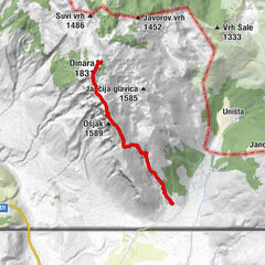
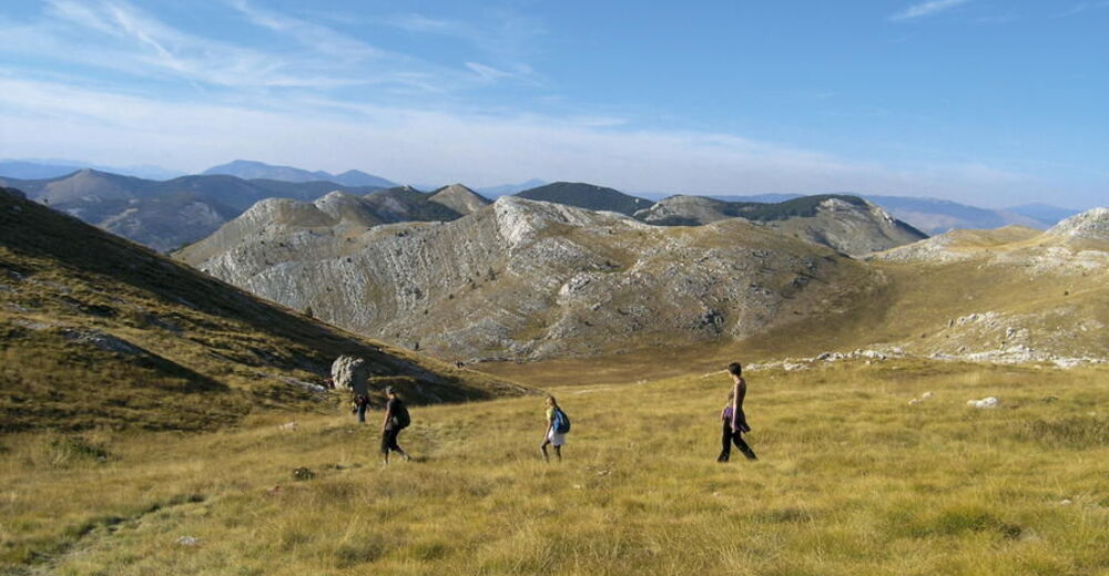
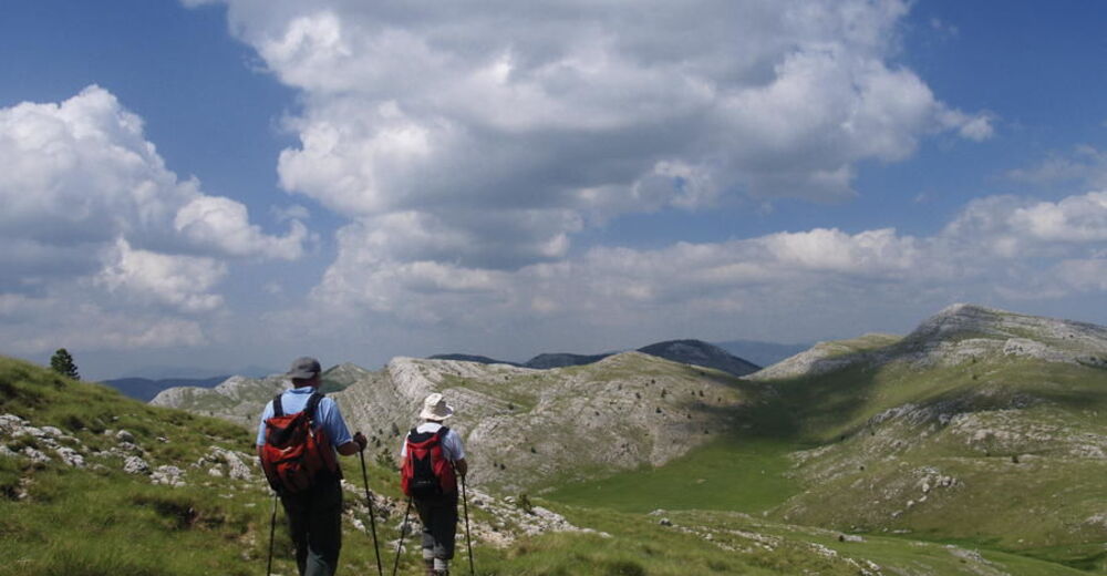
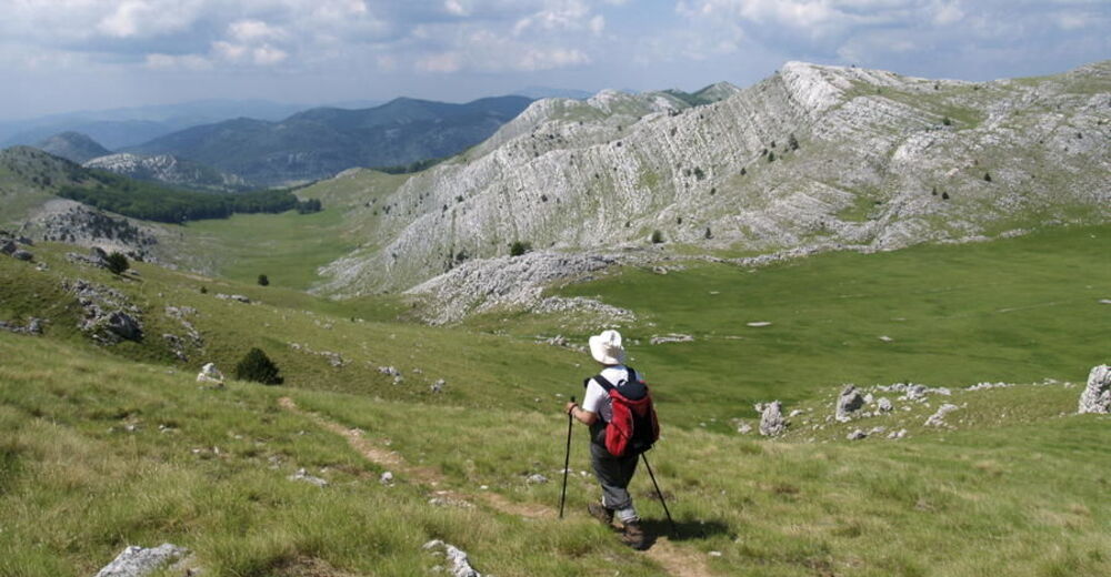
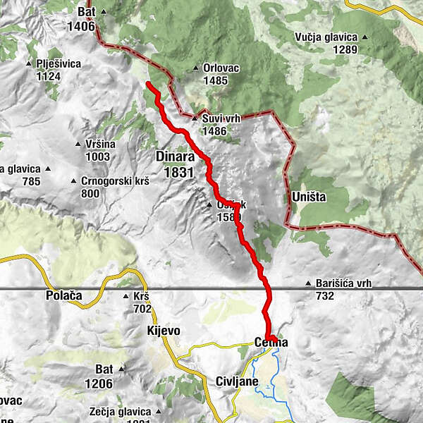
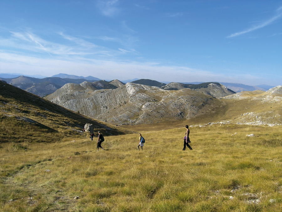
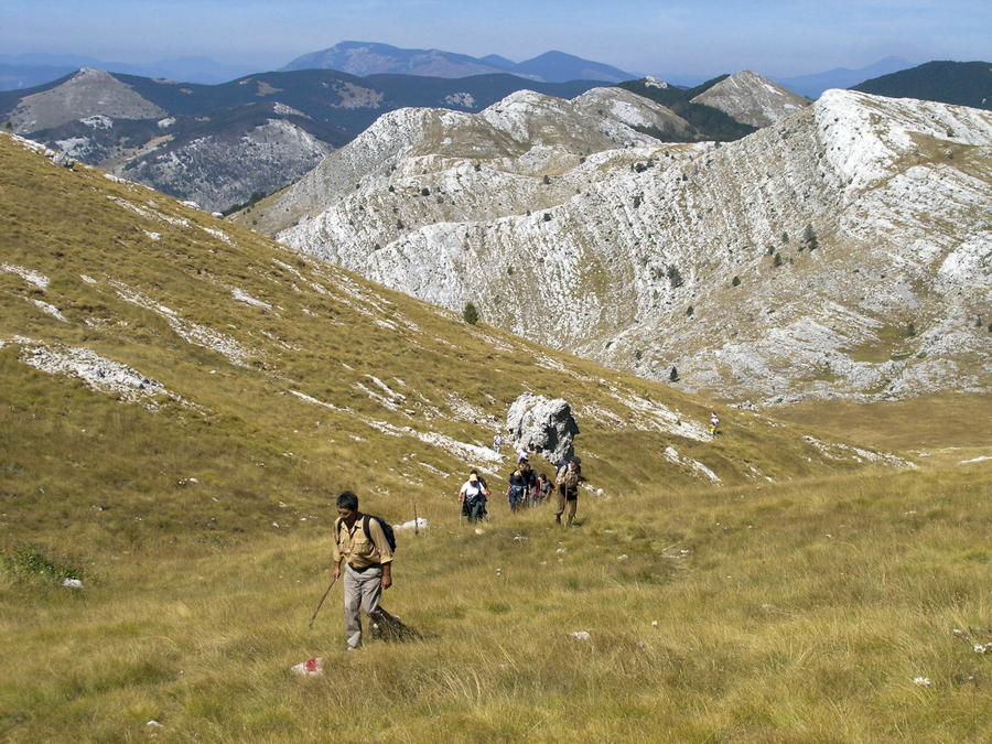
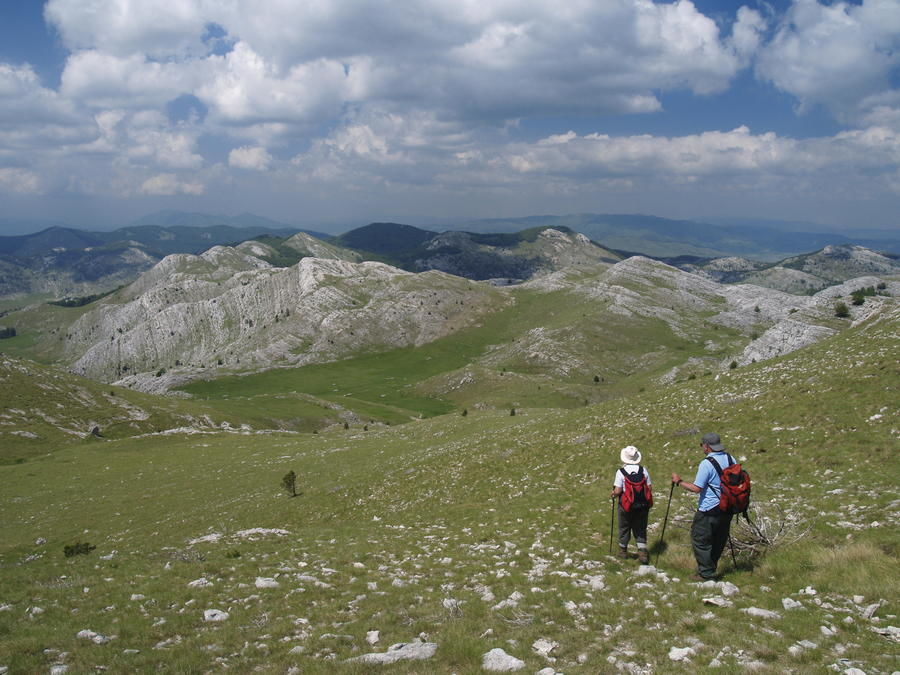
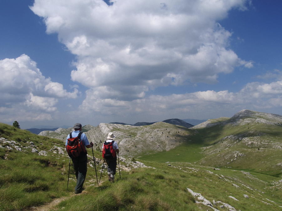
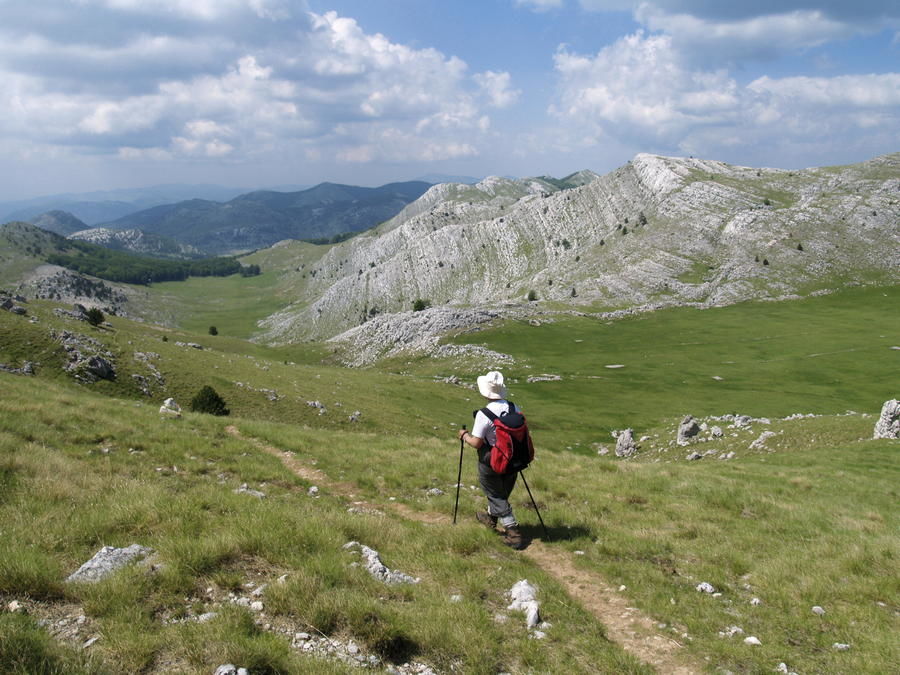
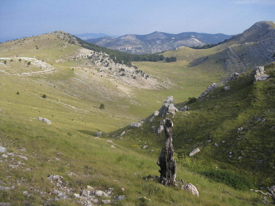
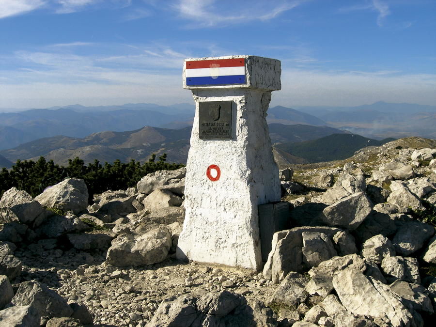
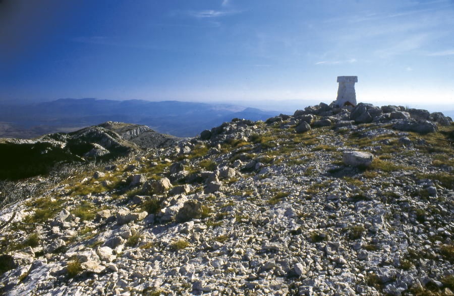
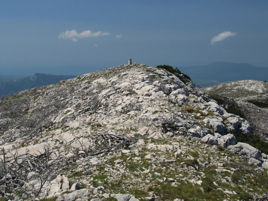
Behind the Brezovac mountain hut, the marked trail continues to the peak of Dinara – the highest peak of Croatia. In 20 minutes, we reach the edge of the meadow called Duler, continuing from that meadow to the wide meadow of Samar. A wide path ascends along Samar for a considerable amount of time, until we reach a flatter section where the markings turn to the right, taking us uphill as we leave the forest road. Along steep meadows, we reach the first forest section, where there is a path to the right leading towards Mirkovići. This is where our route reaches predominantly rocky terrain and gradually ascends through it, with wide views around. What follows is a somewhat steeper couloir to the place where we can see the geodetic pillar at the top. From there, it takes further 10 minutes of hiking to get to the highest peak of Croatia (1831 m.a.s.l.).
- Vaikeus
-
vaikea
- Arviointi
-
- Reitti
-
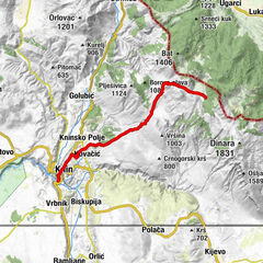
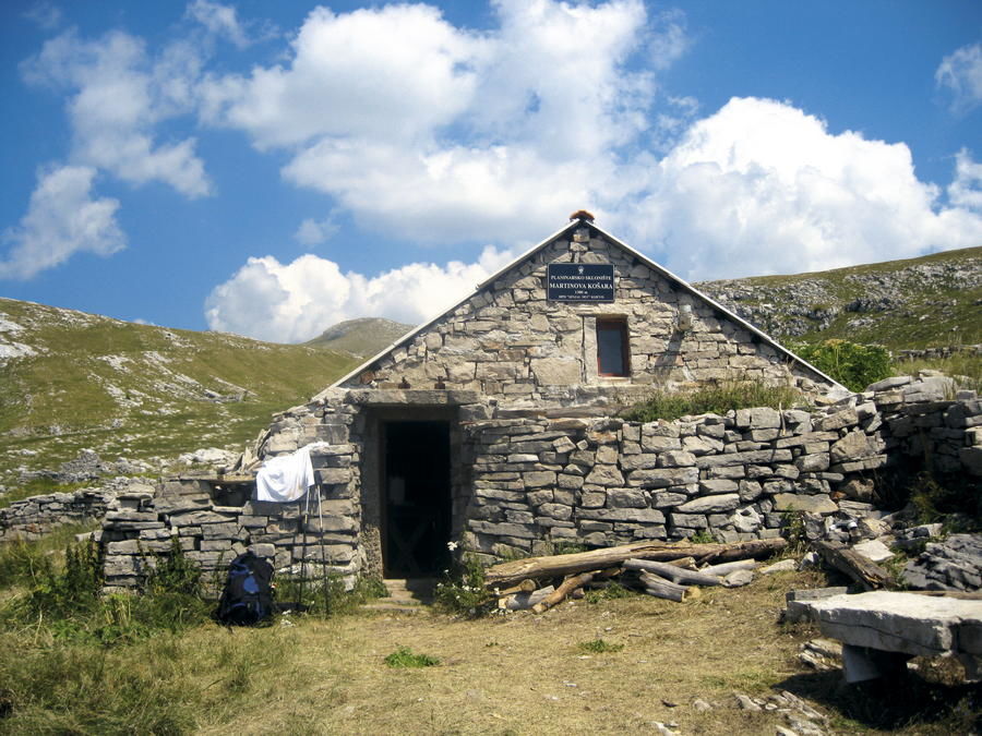
Dinara (1.831 m)5,2 kmMartinove košare9,1 kmCrvena pećina11,7 kmGlavaš12,9 kmGlavaš13,2 kmMilaši17,6 kmCetina17,6 kmCetina spring17,7 kmIzvor Cetine17,8 km
- Paras kausi
-
tammihelmimaalishuhtitoukokesäheinäelosyyslokamarrasjoulu
- Korkein kohta
- 1.808 m
- Kohde
-
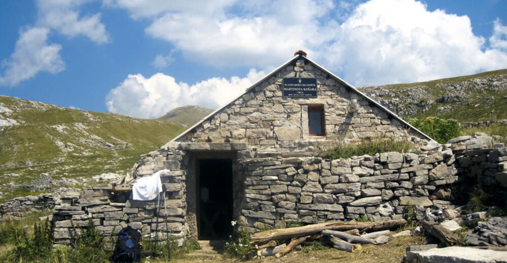
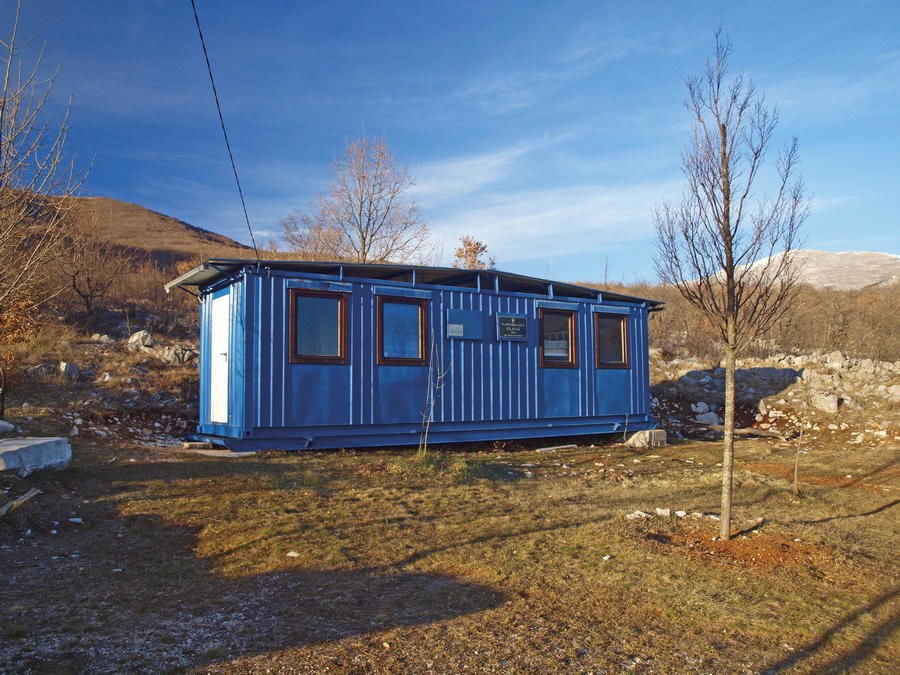
Mountain hut Glavaš
- Korkeusprofiili
-
 © outdooractive.com
-

-
KirjoittajaKiertue Via Dinarica HR-W-23 Path across the peak of Dinara käyttää outdooractive.com toimitettu.