

- Lyhyt kuvaus
-
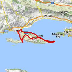
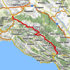
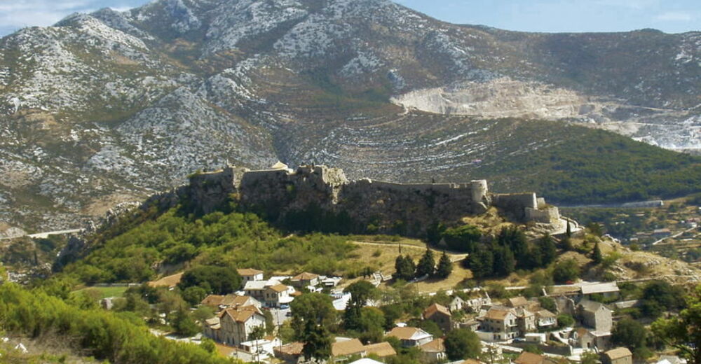
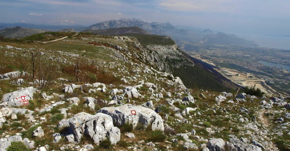
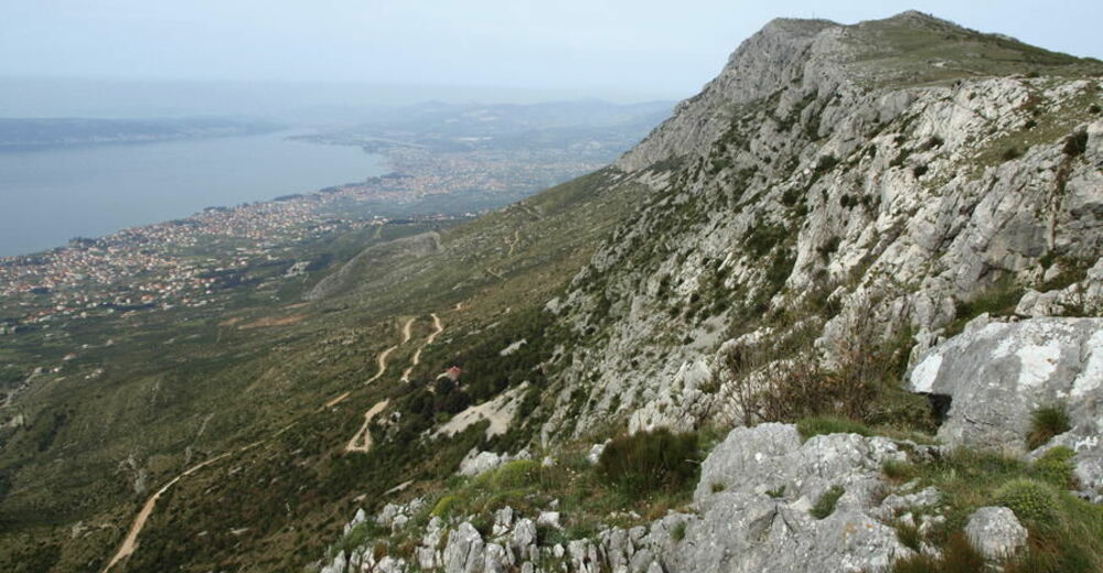
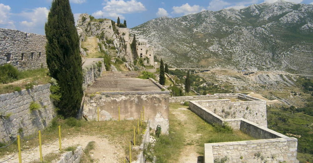
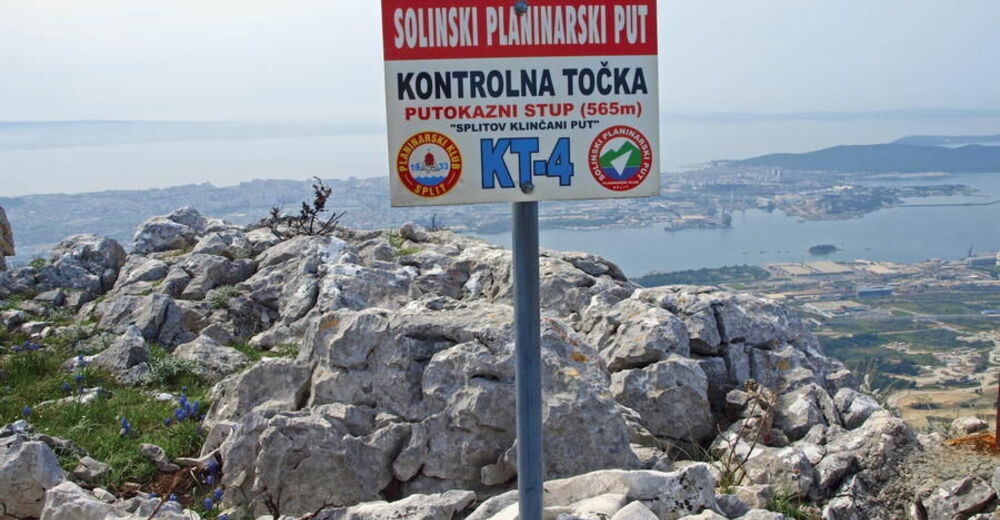
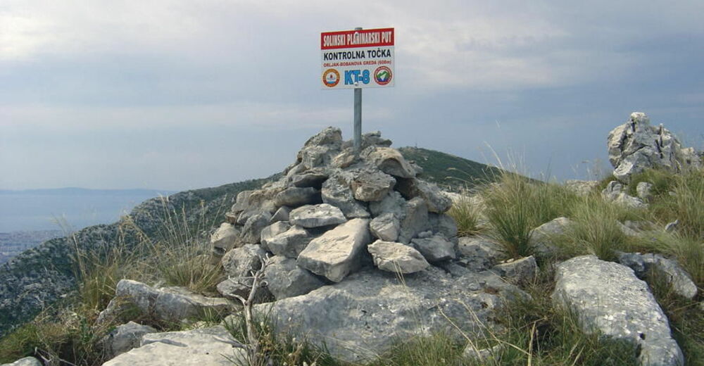
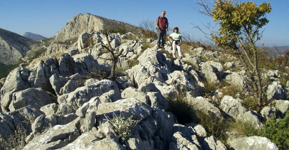
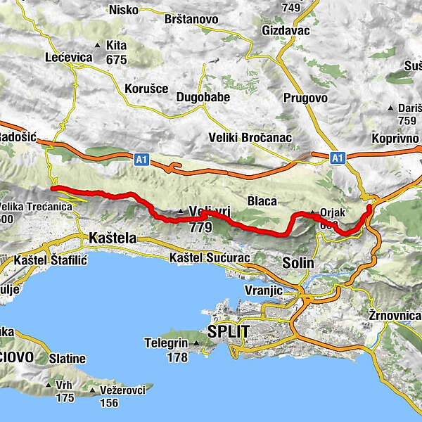
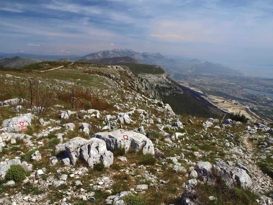
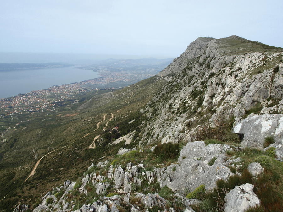
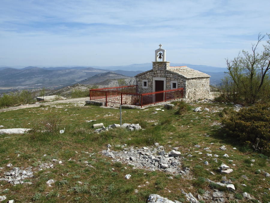
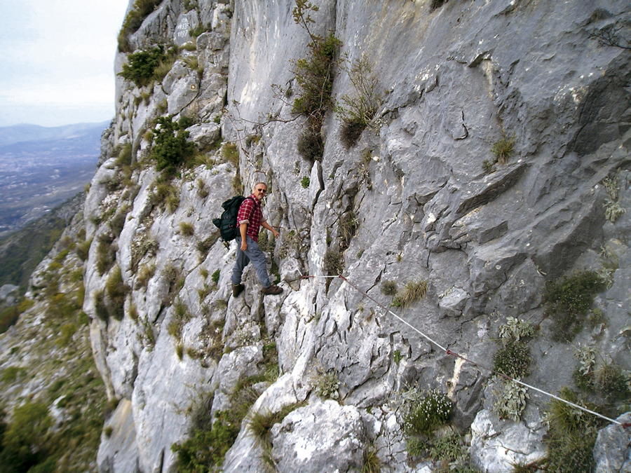
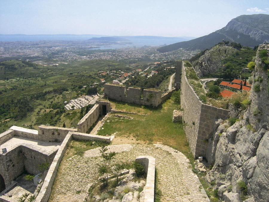
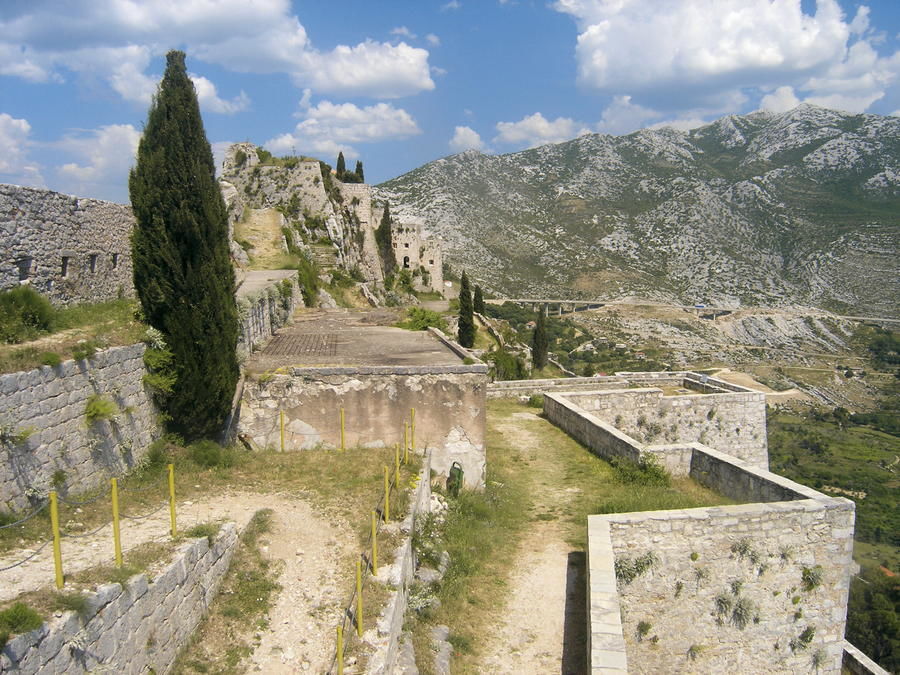
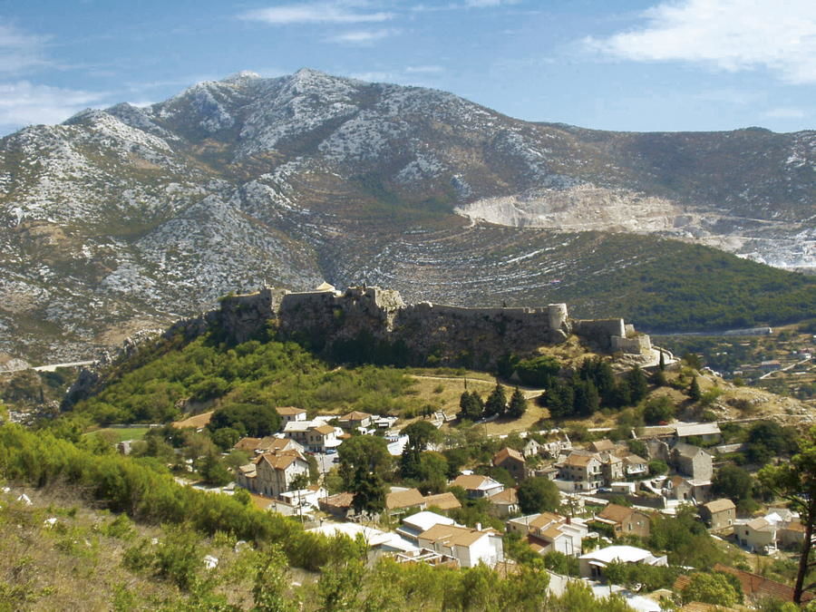
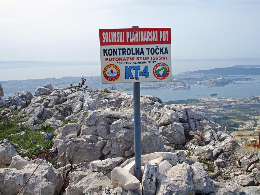
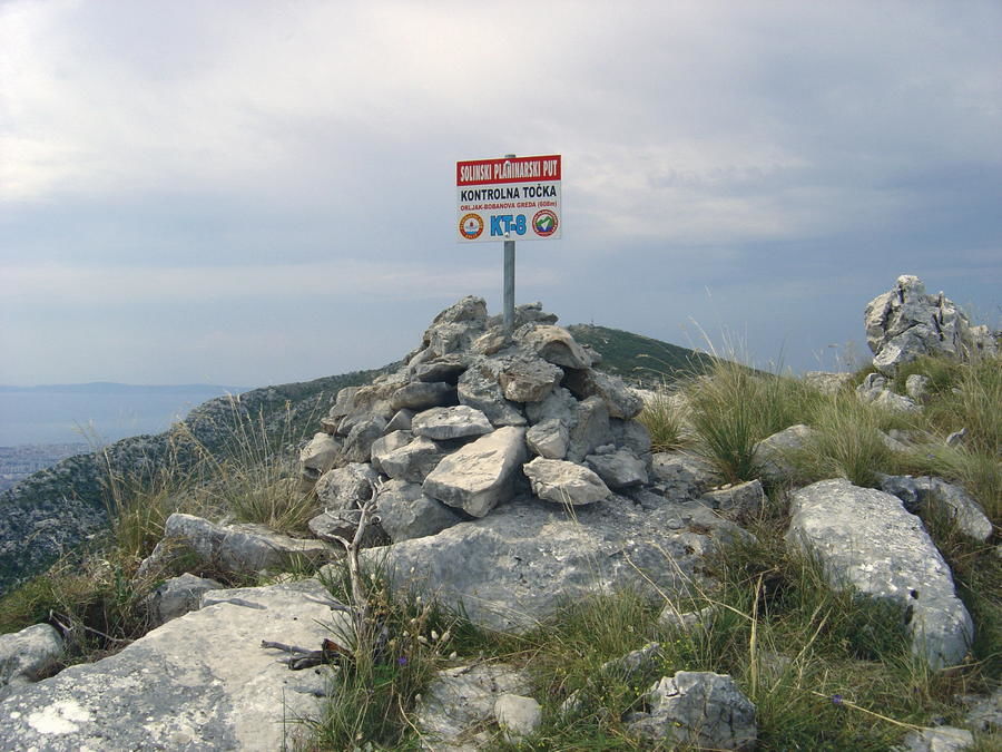
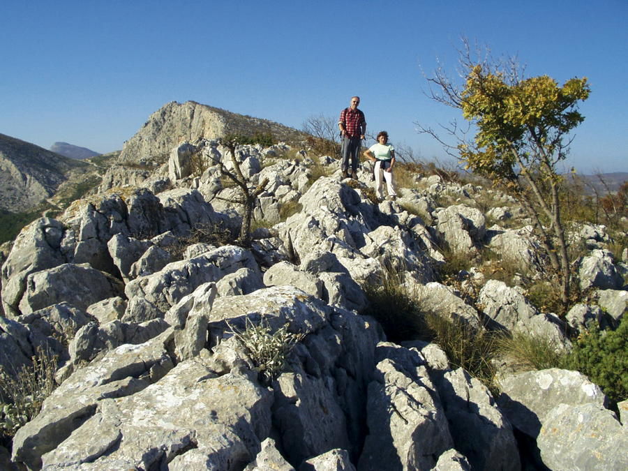
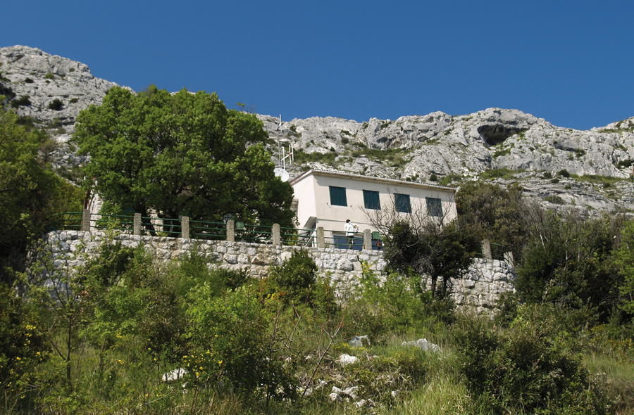
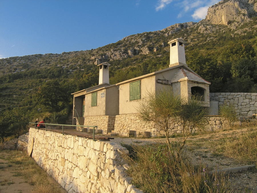
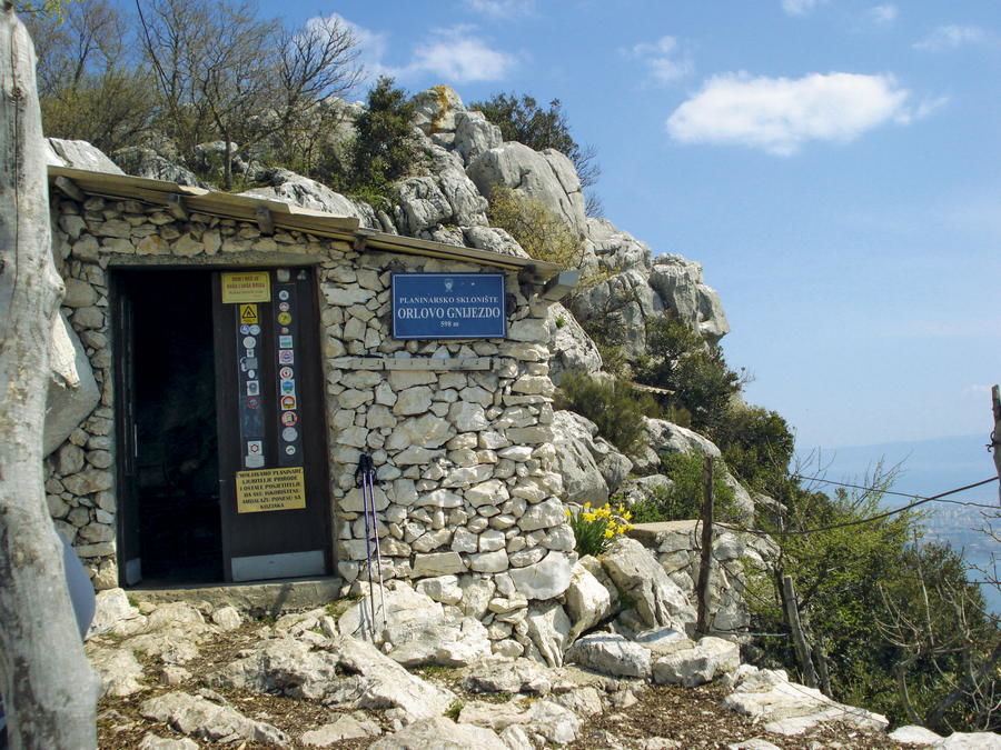
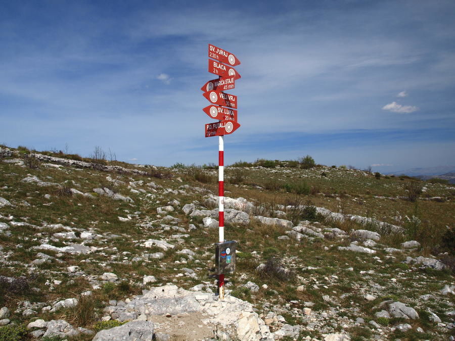
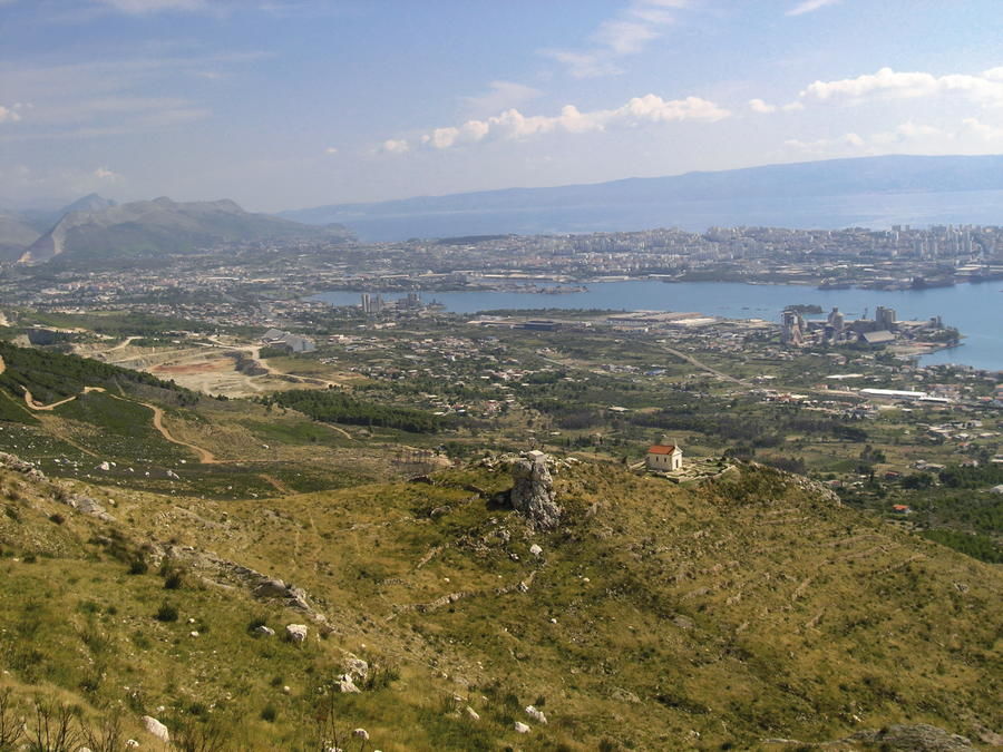
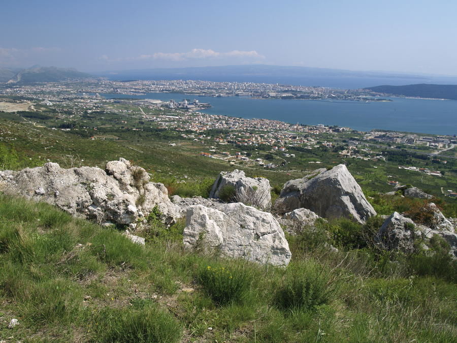
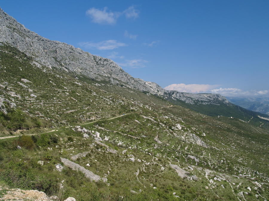
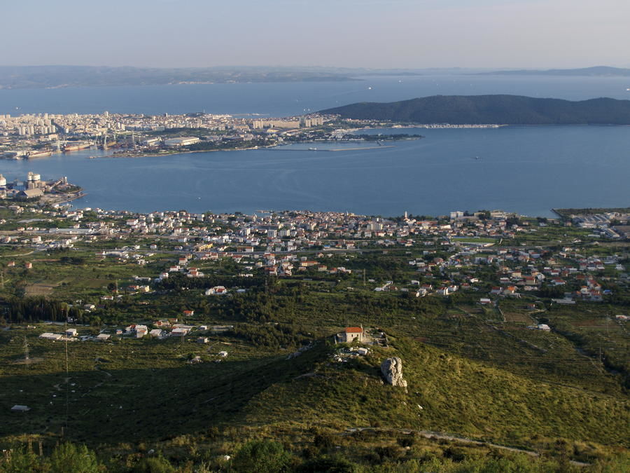
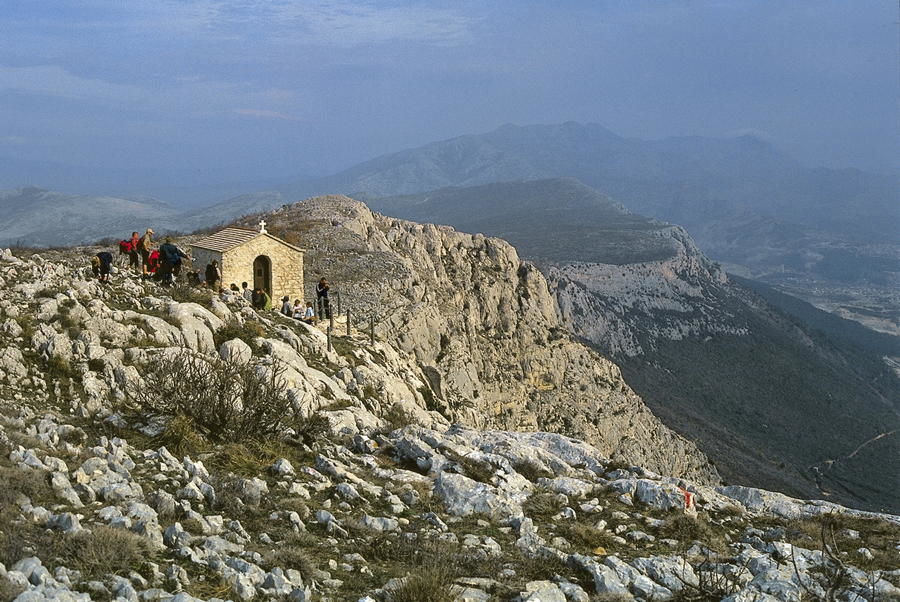
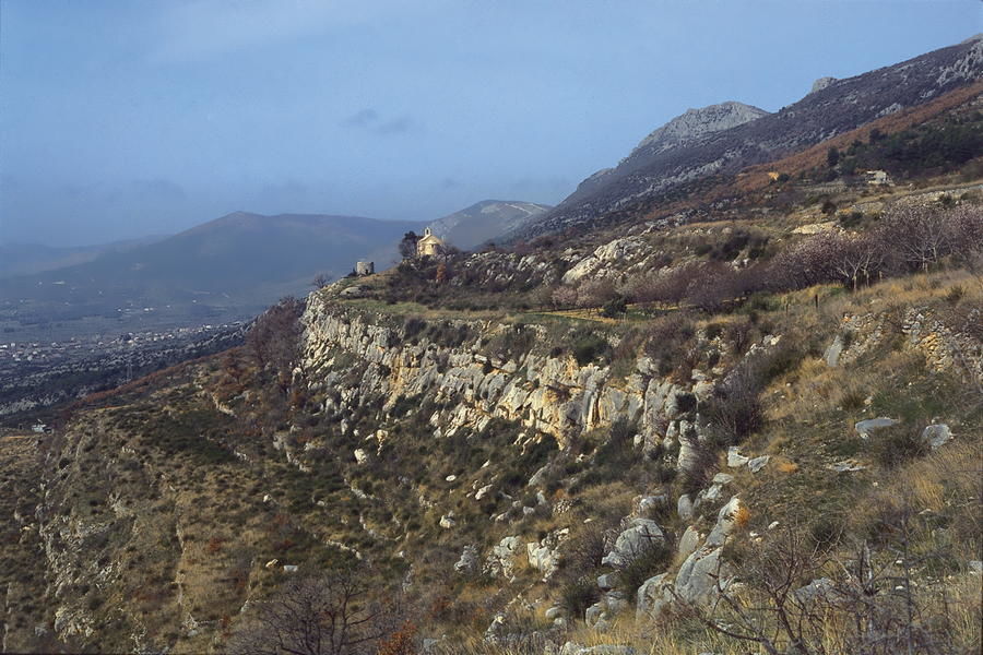
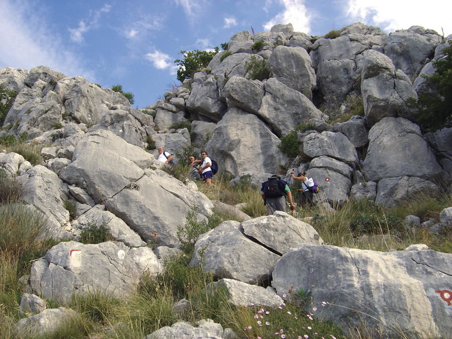
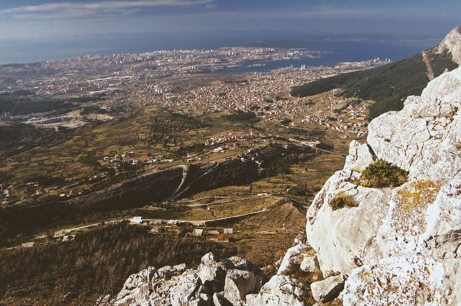
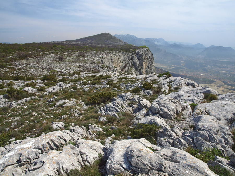
Kozjak is a mountain with two completely different faces. On the littoral side, it resembles a mighty rocky barrier towering above the bay of Kaštelanski zaljev. On the mainland side, it takes the shape of an undulating plateau ending with a sharp edge. It is on the very edge of the plateau, on average 600 to 700 meters above sea level, where we come across the highest peaks of the mountain. The series of peaks begins at the mountain pass Malačka and spreads for 16 kilometers to Markezina greda at Klis. Via Dinarica is following the layout of the mountain of Kozjak as it connects Malačka with Klis, and the route then continues from there to the mountain of Mosor. On Kozjak, the route of Via Dinarica partially overlaps with the routes of hiking tours Cradle of Croatian Statehood and Soline Hiking Trail. The Via Dinarica route also visits the old hill fort of Klis – one of the most picturesque historical fortresses in Croatia.
- Vaikeus
-
tapa
- Arviointi
-
- Reitti
-
Malačka (477 m)Chapel of the Blessed Aloysius Cardinal StepinacPlaninarska kuća "Česmina"0,1 kmBirnjac (562 m)1,0 kmkapela sv. Ivana (631 m)2,2 kmBiranj (631 m)2,5 kmCastelli3,7 kmKaštelice (581 m)4,0 kmPlaninarski dom Putalj10,0 kmMali Kozjak (658 m)10,7 kmŽižina Tureta (582 m)12,7 kmGolo brdo15,0 kmSveti Juraj (676 m)15,3 kmSalona15,3 kmSpajići18,5 kmPopići18,9 kmRadići20,6 kmClissa20,7 kmGalići21,6 kmPerlica22,4 kmHajduk22,4 km
- Paras kausi
-
tammihelmimaalishuhtitoukokesäheinäelosyyslokamarrasjoulu
- Korkein kohta
- 669 m
- Kohde
-
Klis
- Korkeusprofiili
-
 © outdooractive.com
-

-
KirjoittajaKiertue Via Dinarica HR-B-15 Kozjak käyttää outdooractive.com toimitettu.


-
Insel Čiovo
13
-
Split
9