© Terra Dinarica - planinarenje .ba
© Terra Dinarica - planinarenje .ba
© Terra Dinarica - planinarenje .ba

© Terra Dinarica - planinarenje .ba

© Terra Dinarica - planinarenje .ba

- Lyhyt kuvaus
-
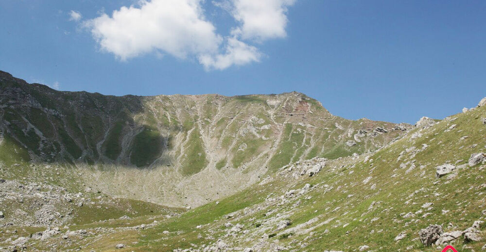
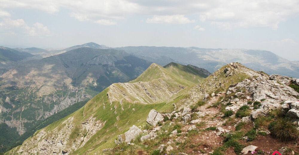
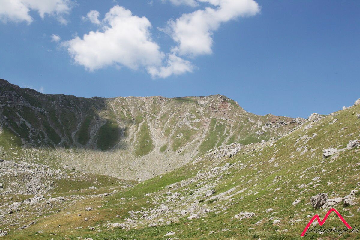
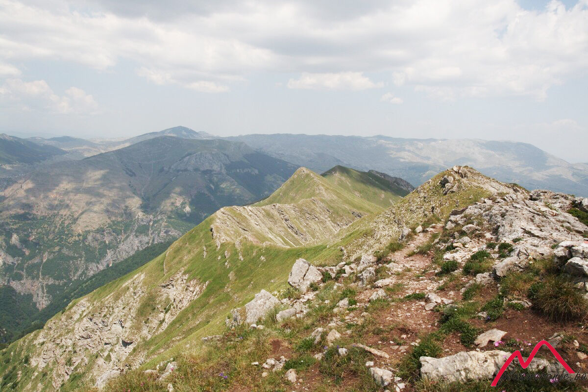
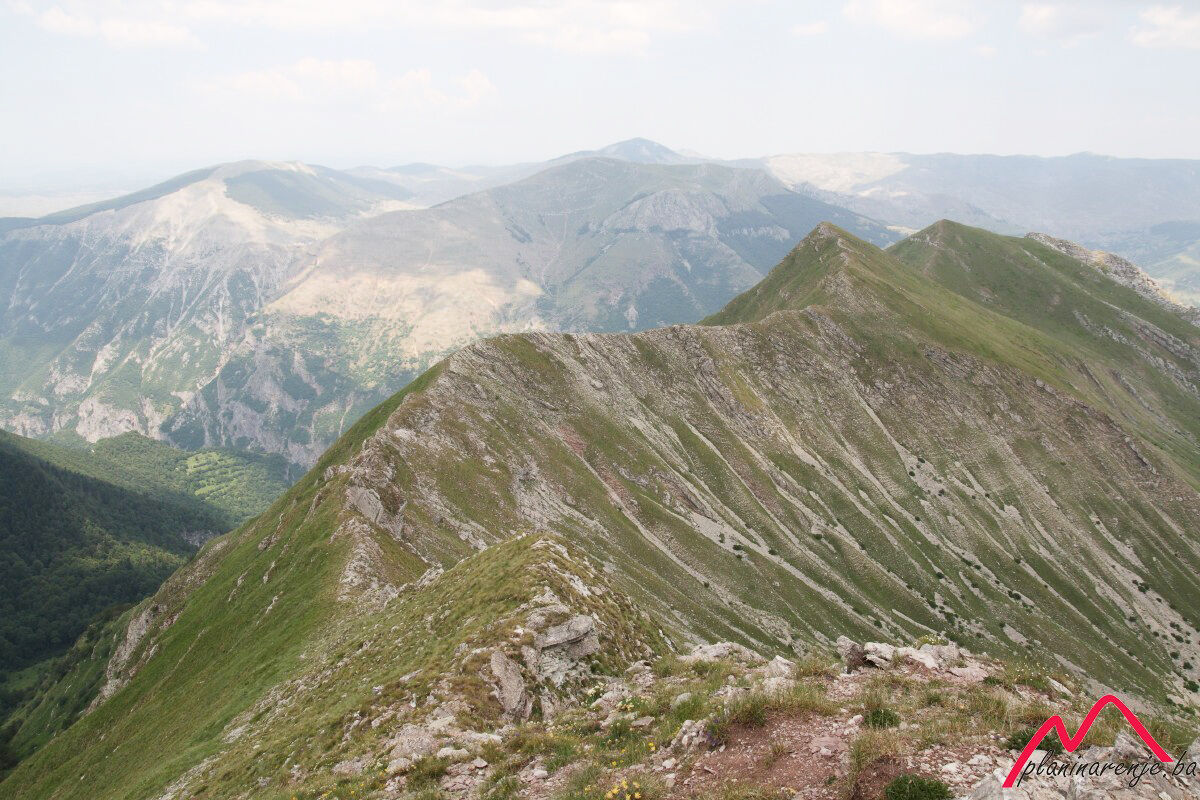
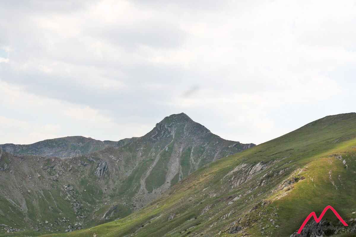
A very nice walk along one of the most beautiful ridges in Bosnia and Herzegovina. Not suitable for those who are afraid of heights as the ridge is rather steep in several places. Great view of the mountains Treskavica and Bjelašnica, and the canyon of the Rakitnica river.
- Reitti
-
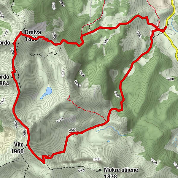
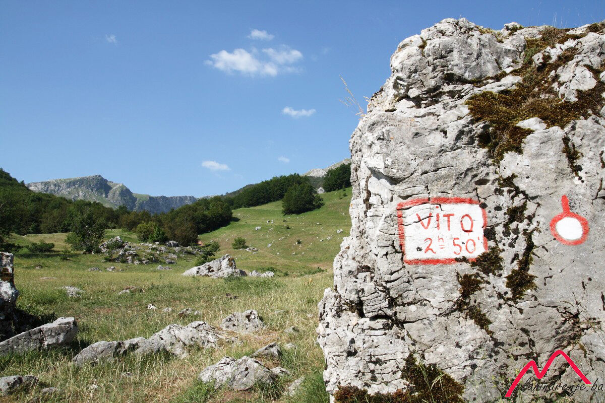
TušilaRestoran Visočica0,0 kmVito (1.960 m)3,7 kmVeliko brdo (1.884 m)5,0 kmMalo brdo5,6 kmDrstva (1.808 m)5,8 kmOčkovica spring6,7 kmTušila8,7 kmRestoran Visočica8,8 kmPlaninarski dom Vrela8,8 km
- Korkein kohta
- 1.926 m
- Kohde
-
Vito and Drstva peaks
- Korkeusprofiili
-
 © outdooractive.com
-

-
KirjoittajaKiertue Tušila - Vito - Drstva käyttää outdooractive.com toimitettu.