© Terra Dinarica - planinarenje .ba
© Terra Dinarica - planinarenje .ba
© Terra Dinarica - planinarenje .ba
© Terra Dinarica - planinarenje .ba
© Terra Dinarica - planinarenje .ba

- Lyhyt kuvaus
-
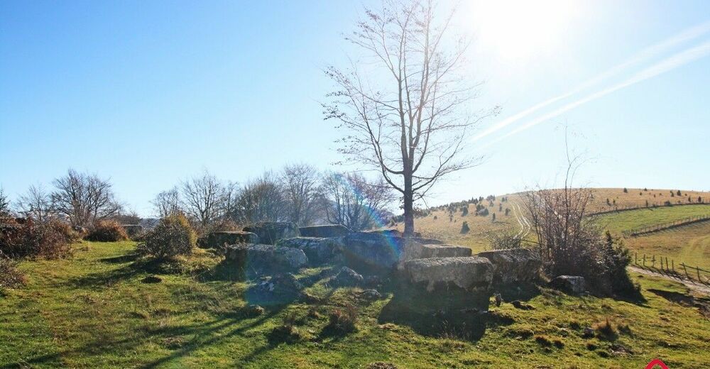
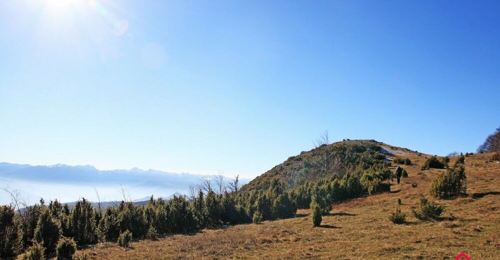
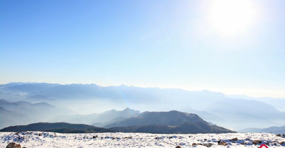
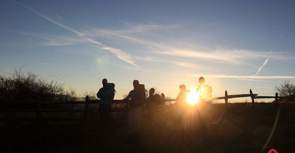
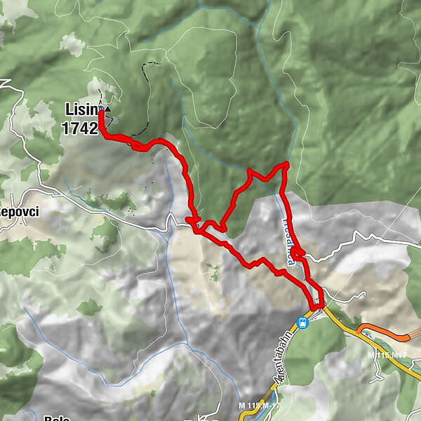
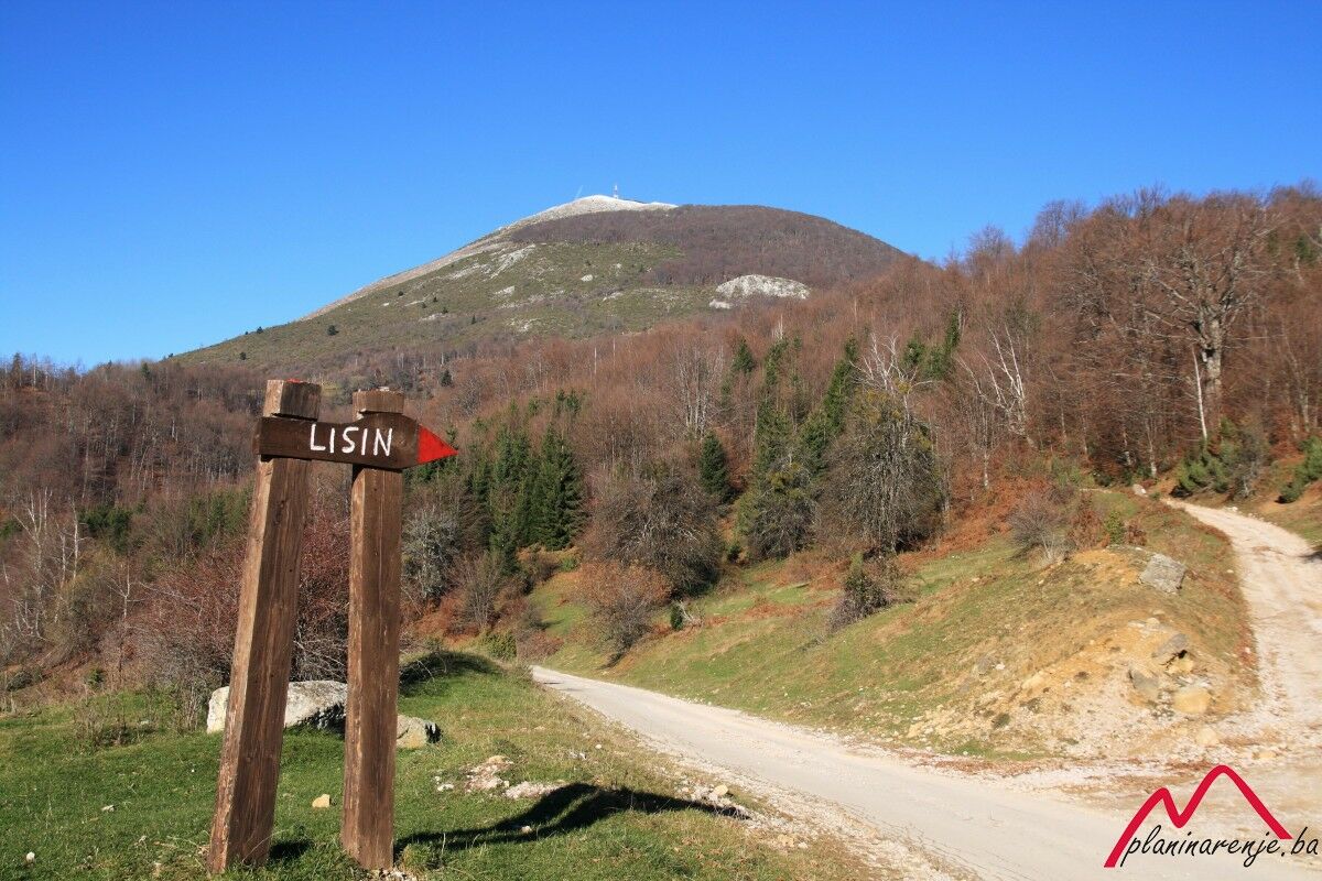
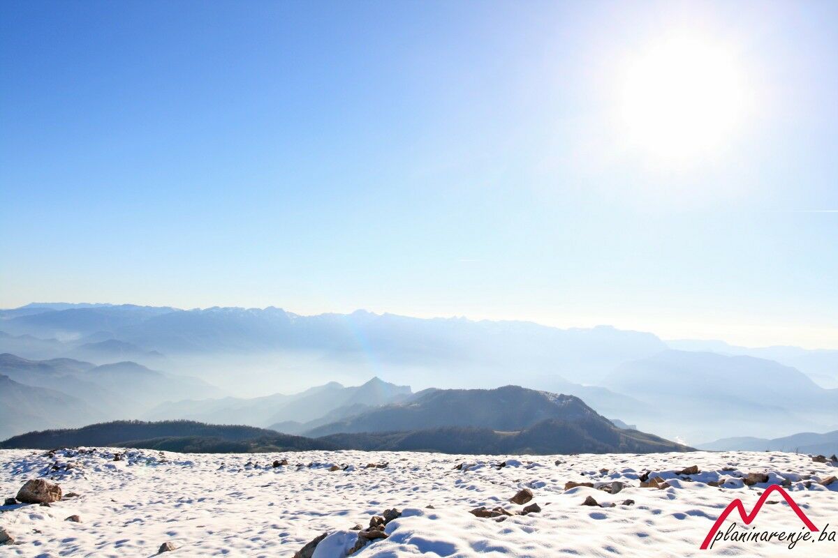
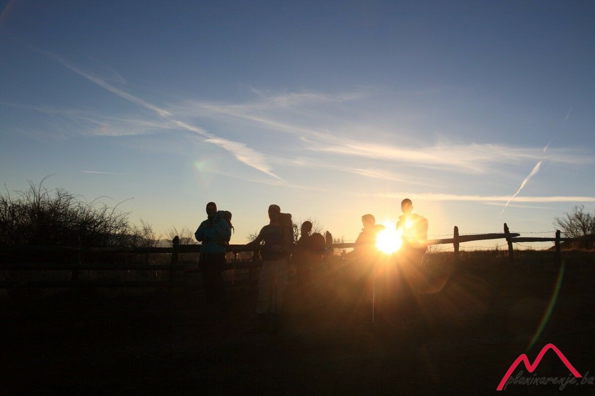
This is a moderately difficult and technically undemanding trail leading over beautiful terrain, with short steep sections and at least two fountains offering drinking water. The summit of Lisin offers one of the most beautiful views of the highest number of mountains of Bosnia and Herzegovina.
- Reitti
-
BradinaLisin (1.742 m)5,1 kmKatolička kapela sv. Ane12,1 kmCrkva Uznesenja Gospodnjeg12,1 kmBradina12,3 km
- Korkein kohta
- 1.718 m
- Kohde
-
Bradina
- Korkeusprofiili
-
 © outdooractive.com

-

-
KirjoittajaKiertue Bradina - Lisin käyttää outdooractive.com toimitettu.