© Terra Dinarica - planinarenje .ba
© Terra Dinarica - planinarenje .ba
© Terra Dinarica - planinarenje .ba

© Terra Dinarica - planinarenje .ba
© Terra Dinarica - planinarenje .ba
© Terra Dinarica - planinarenje .ba

- Lyhyt kuvaus
-
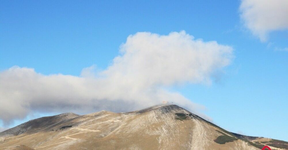
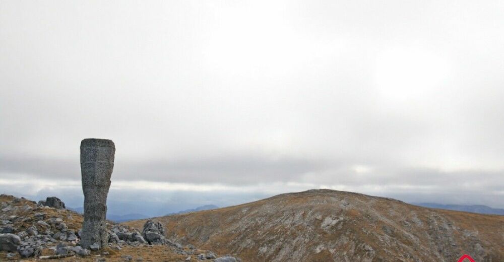
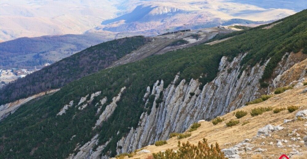
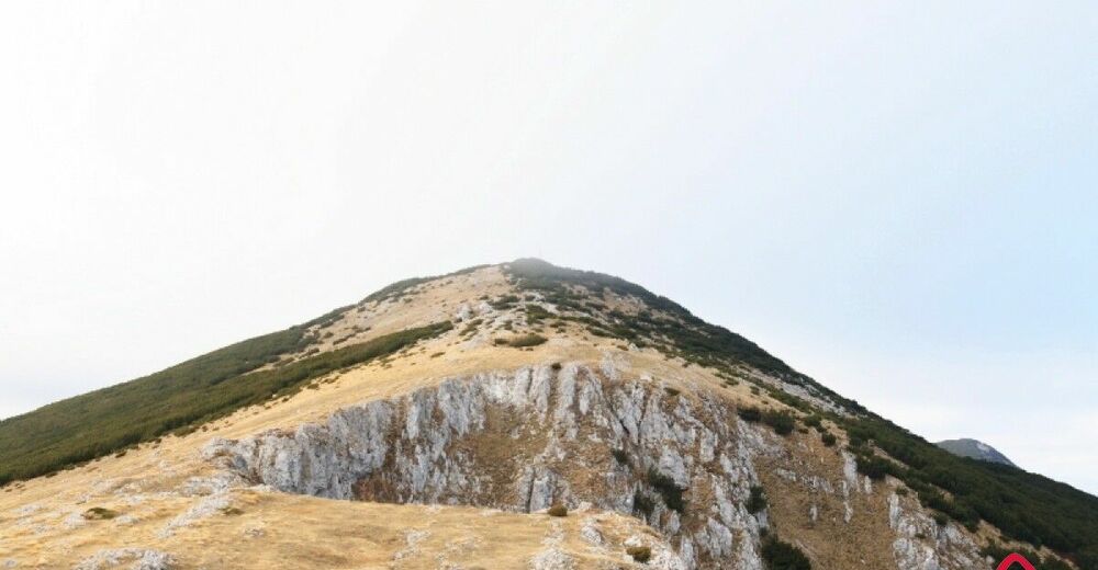
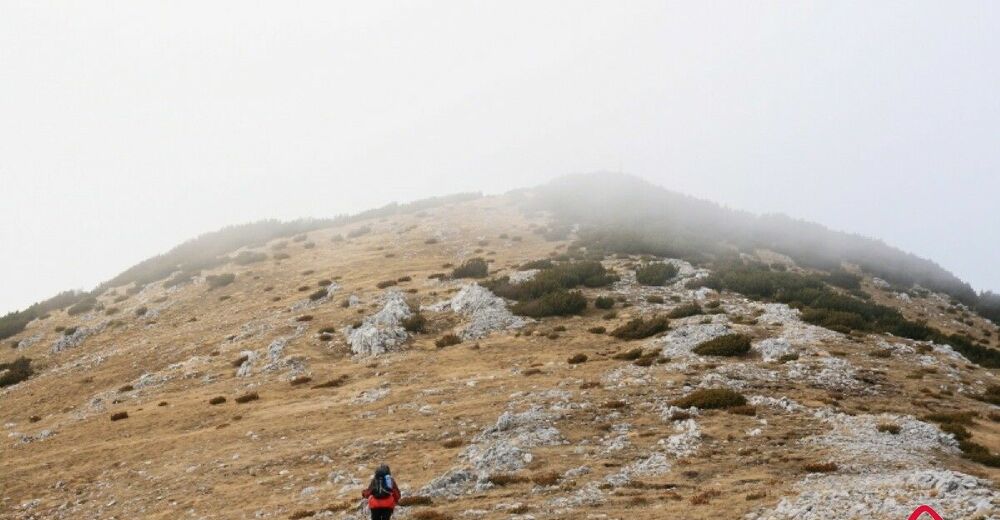
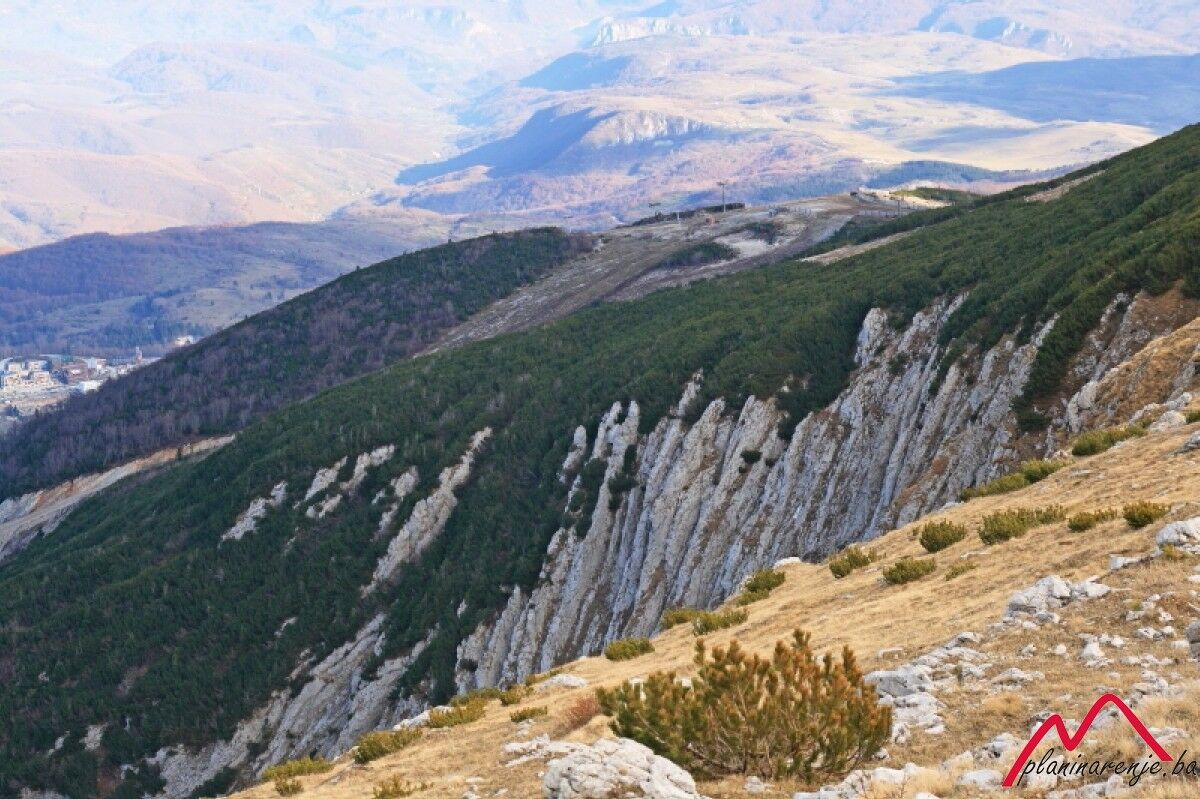
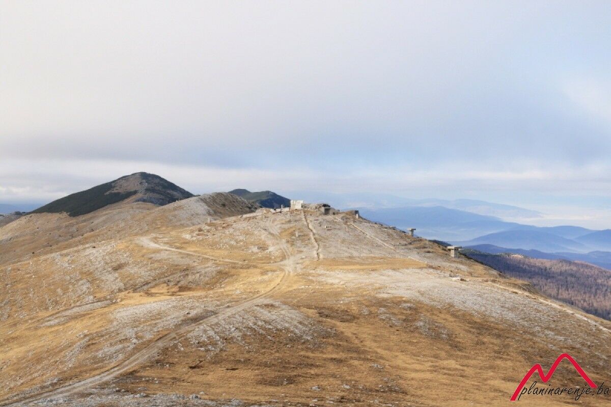
It's a beautiful walk which includes visiting the highest summit of Mt Bjelašnica. The road to the Observatory is the most strenuous part of the walk, as the rest of the route, the walk to Mala Vlahinja, is almost flat. Unfortunately, this area is almost always very windy.
- Reitti
-
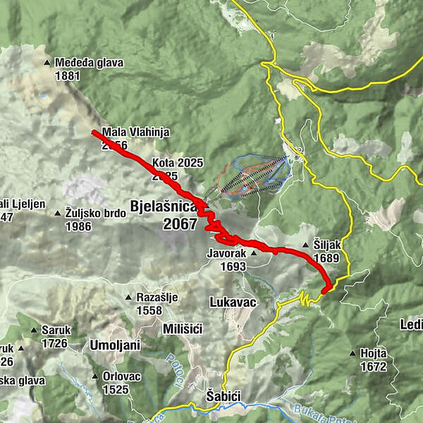
Bjelašnica (2.067 m)6,9 kmKota (2.056 m)7,5 kmKota 2025 (2.025 m)8,9 kmMala Vlahinja (2.056 m)10,5 kmKota 2025 (2.025 m)11,9 kmKota (2.056 m)13,3 km
- Korkein kohta
- 2.051 m
- Kohde
-
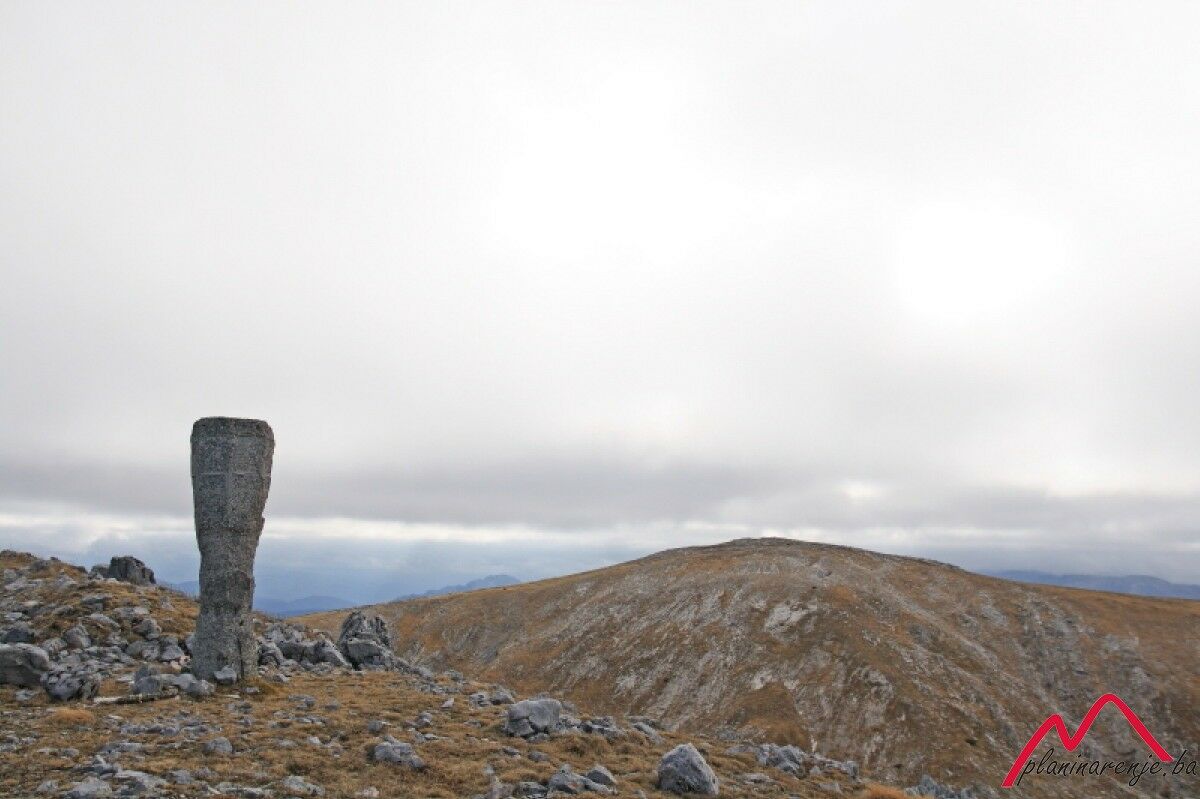
Mala Vlahinja
- Korkeusprofiili
-
 © outdooractive.com


-

-
KirjoittajaKiertue Bijele vode - Mala Vlahinja käyttää outdooractive.com toimitettu.